
 Agrotech
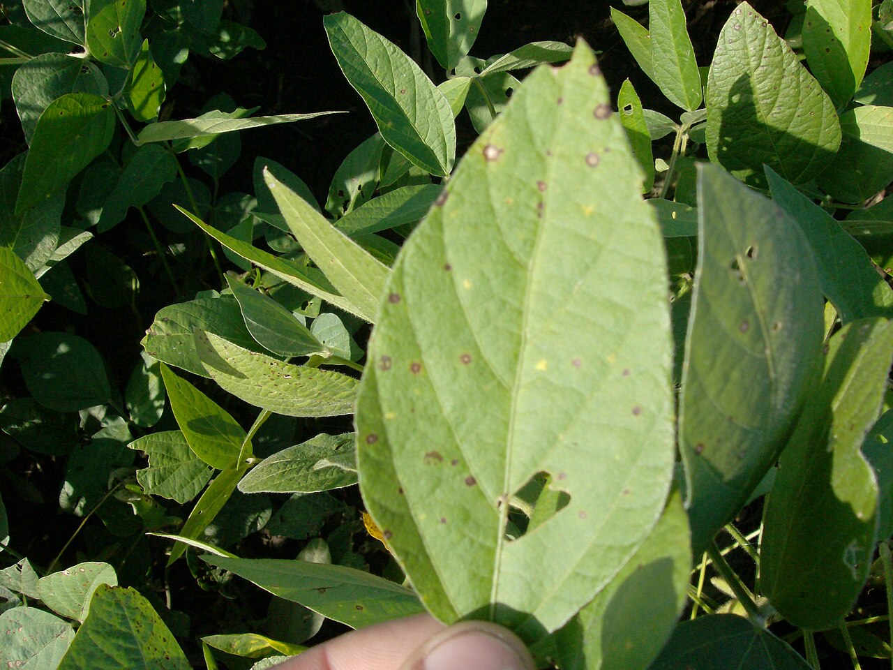
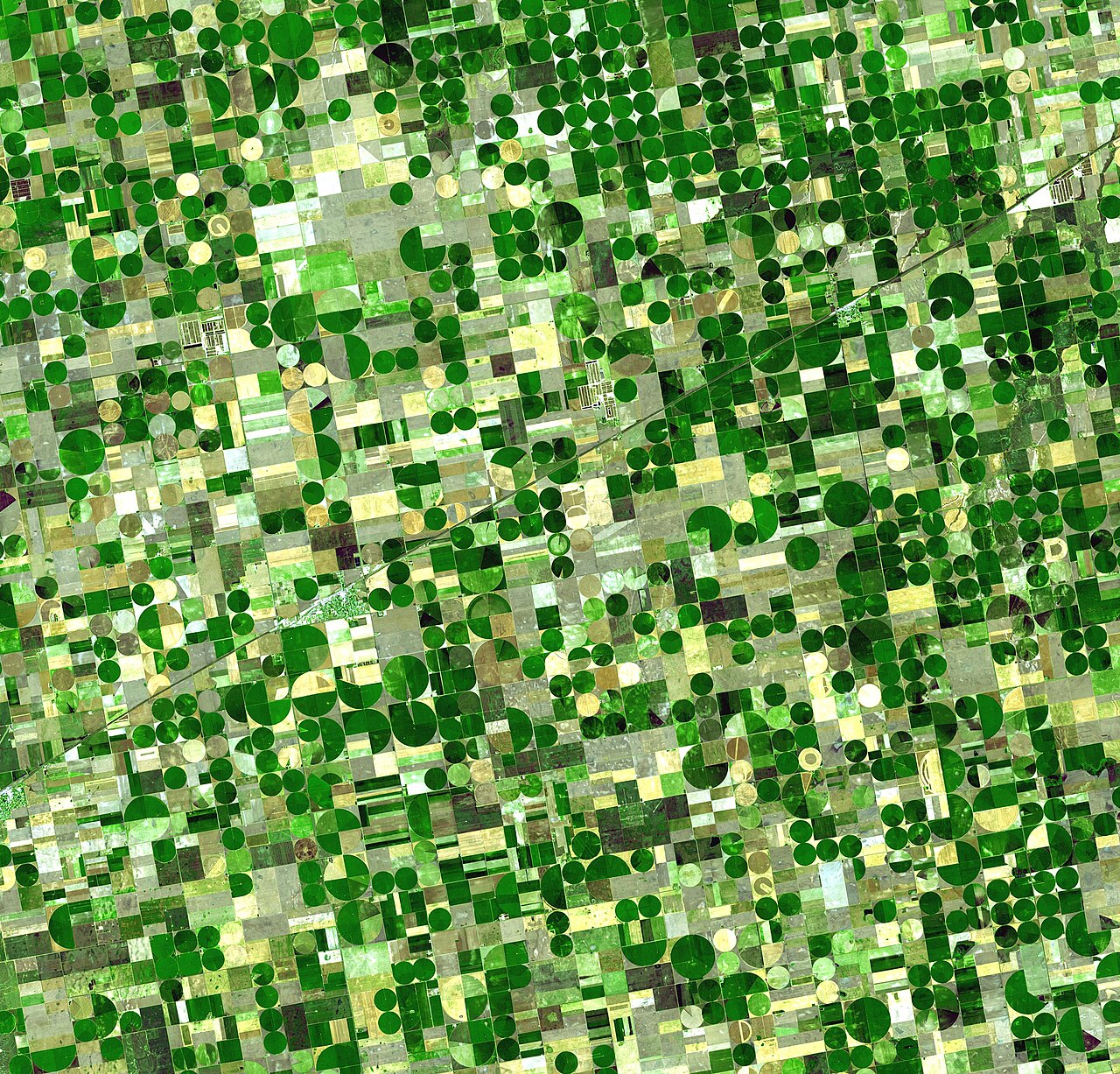
Syngenta's Cropwise Explorer uses satellite images and AI to flag fields to scout first
The new tool for farm-input retailers combines past performance data, in-season crop information and satellite imagery, with anomaly detection, NDVI-based weekly reports and an AI summary.