
A technique built to study earthquakes is being adapted to show farmers where their soil is compacted. Researchers on the Earth Rover Program are testing whether existing seismology technology can map soils without digging, giving a 3D picture of what lies under a field rather than a single test hole.
Compaction is a hidden and costly problem on many farms, and it varies with soil type, management and weather. Dr Joe Collins, an agricultural researcher at Harper Adams University and senior research associate for the Earth Rover Program, said the industry has long concentrated on soil chemistry such as nutrients and pH, and increasingly on soil biology, while physical soil properties are mostly managed by routine cultivation and rotation.
The method places sensors on the ground and uses a seismic source as simple as the stamp of a foot or the hit of a hammer. The speed at which the sound travels from one sensor to the next is calculated and used to infer physical properties such as the depth of soil horizons and bulk density, which together build a 3D soil map.
"Instead of just a point measurement, we can map entire fields, giving farmers the confidence to skip unnecessary cultivations and target specific areas, leading to economic savings," Dr Collins said. The same measurements could give an accurate reading of topsoil depth and help map soil carbon stocks, which he expects to matter as funding becomes tied to carbon storage.
Several set-ups are in development: small sensors placed at chosen points in a field, a smartphone app, and a passive tractor-mounted system with sensors along the tramlines, where the tractor itself provides the source at a known position. The long-term aim is to store the data in a farm management system so soil properties can be tracked over time.
Todd Jex, an agronomist and Agri-TechE Ambassador, said current methods struggle to estimate bulk density accurately and that a seismic reading could help decisions in autumn, when the ground is too dry for simpler tests. Removing compaction costs diesel and wear on metal, but ignoring it can be costly too: in legumes, he said, it can cut yields by up to 40%. Because bulk density is linked to organic matter, the maps could also show where manure or sludge would do most good.
The research is at an early stage, and Dr Collins said variations of the technology might later assess soil texture as well. The Earth Rover equipment is due to be shown at the REAP Conference in Peterborough on 4 November.
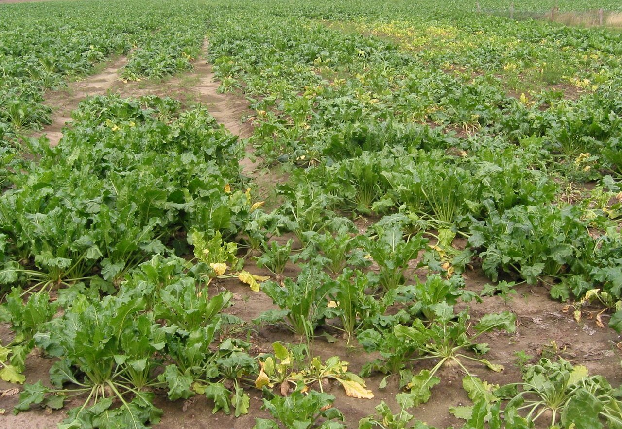
Photo: Rasbak (sugar beet with soil-structure damage) / Wikimedia Commons (CC BY-SA 3.0)
Source: Farmers Weekly

Comments
(0)