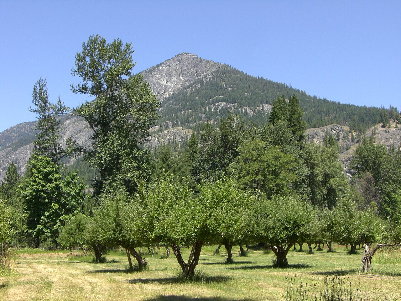
Washington State University's Tree Fruit Extension programme has completed multi-season trials of an autonomous drone system that launches itself from a solar-powered dock to map fruit count, bloom density and canopy health in commercial apple orchards, Global Agriculture reports.
The "drone-in-a-box" system, supplied by UK-based Outfield Technologies and Washington ag-aviation firm Tyton Aviation, houses a DJI Dock 2 and a Matrice 3D drone with RTK positioning, accurate to a few centimetres, and multispectral cameras. Once scheduled, the drone takes off, flies a preset route, lands and recharges without an operator. The trials were run by extension educator Dattatray Bhalekar, associate professor Bernardita Sallato and precision agriculture professor Lav Khot, with funding from the Washington Tree Fruit Research Commission.
In 2024, researchers flew a drone manually over a Cosmic Crisp block near Mattawa and compared its counts with crews' hand counts on three dates: the vision system came within 5% to 15%, for example 16 fruit per tree in mid-July against a hand count of 19. In 2025, a full dock at an Envy apple block in Zillah flew repeated missions from April to October to test consistency.
The cameras also calculate vegetation indices, NDVI and NDRE for canopy greenness and nitrogen, SAVI to correct for bare soil between rows, and NDWI for water stress. With bloom and canopy data, these feed variable-rate maps that tell a sprayer or fertiliser applicator to put more or less product on particular parts of a block. One dock can cover up to 250 acres a day within a two-mile radius; one flight over the 8.1-acre Zillah block took about 15 minutes.
The team plans to add thermal imaging in 2026-27 with a Matrice 4T drone to spot water-stressed trees and possible pest or disease hotspots. WSU has not published a cost for growers, and the write-up gives no accuracy figures for 2025.
Photo: Orygun / Wikimedia Commons (CC BY-SA 3.0)
Source: Global Agriculture

Comments
(0)