
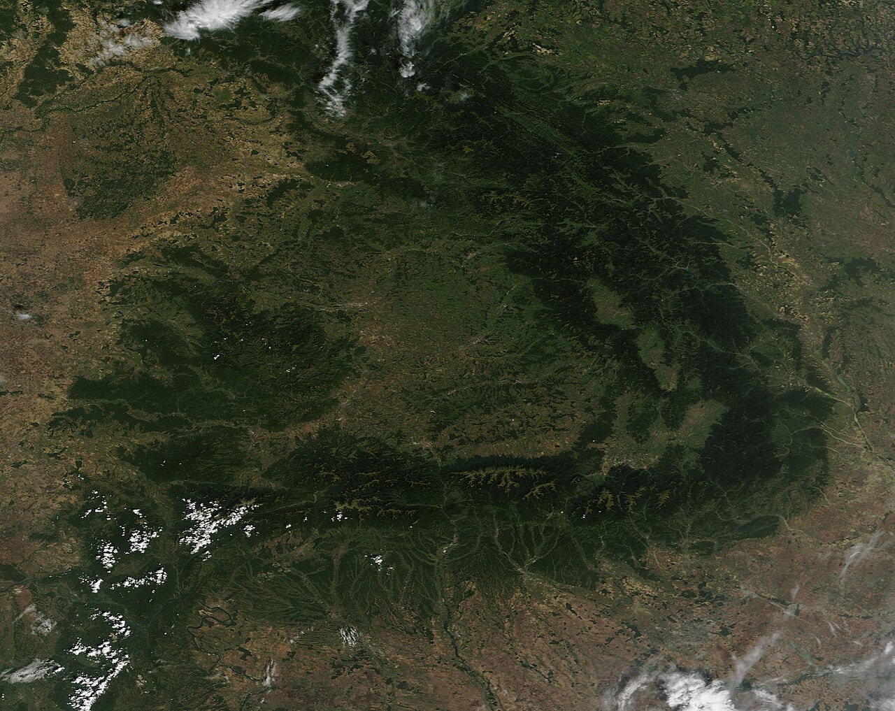
When the war suspended mandatory farm reporting in Ukraine and stopped surveys of smaller farms, NASA Harvest turned to satellite imagery to track crops, estimate planted area and assess harvests, Farms.com reports.
Researchers identified winter crops from seasonal vegetation patterns: cereals follow distinct growth cycles, and rapeseed shows recognizable changes including flowering. To improve accuracy they combined the maps with statistical sampling, checking selected locations to estimate acreage and correct mapping errors, and watched for changes in imagery during harvest.
The analysis found 94.1% of winter crops planted in government-controlled territory were harvested, against 87.5% in Russian-controlled areas, with unharvested fields concentrated near the occupation boundary. “Visible damage wasn’t a reliable guide to whether a field had been harvested,” said Shabarinath Nair, NASA Harvest’s South Asia co-lead. Many unharvested fields showed no sign of shelling or burning.
Winter wheat area in government-controlled areas fell about 9% between 2022 and 2023, then stayed fairly stable. In Russian-held territory it fell by roughly a third in 2024, partly recovered in 2025 and rose 41% in 2026 compared with 2025.
The satellite estimates stayed within 5% of official Ukrainian statistics between 2022 and 2025, which strengthened confidence in the method. “In Russian-controlled areas, that reporting wasn’t available, so remote sensing gave us a consistent way to apply the same framework across the country,” said Josef Wagner, another co-lead.
The findings were shared with Ukraine’s statistics service and agriculture ministry, the UN Food and Agriculture Organization and the European Bank for Reconstruction and Development.
Photo: MODIS Land Rapid Response Team, NASA GSFC / Wikimedia Commons (Public domain)
Source: Farms.com

Comments
(0)