
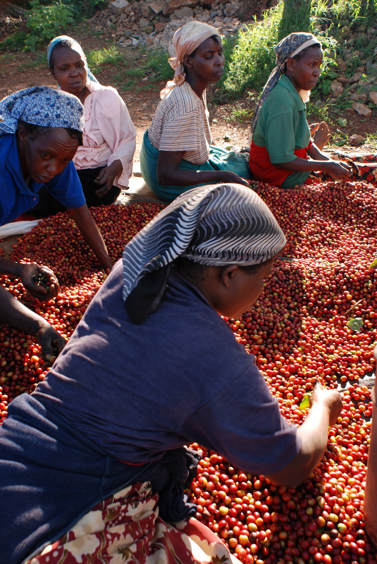
A smallholder coffee cooperative in Nandi County, Kenya, has mapped 1,621 of its members' coffee plots with mobile phones and a free, open-source app, and used the result to show international buyers that none of the land had been deforested, the Food and Agriculture Organization of the United Nations (FAO) reported.
The Toroton Farmers' Cooperative Society had no digital map of the hundreds of small farms supplying it. By May 2025 new traceability requirements meant buyers would start asking for the coordinates of the land where the coffee was grown, and the cooperative's board worried it might not be able to sell. Peter Kibet, the clerk who had for years weighed each farmer's delivery, was introduced that month to Open Foris Ground, a map-based application developed by FAO and Google, through FAO's AIM4Forests programme and AIM4Commodities initiative.
The cooperative hired 13 young people from the area, who walked the farms with phones and recorded each plot's boundary along with yields, coffee varieties, intercropping and pest problems. Six weeks later the 1,621 plots were mapped. Kibet then ran them through Open Foris WHISP ("What is in that Plot?"), which compares locations with forest and land-use data. None was flagged, and when buyers asked for proof the cooperative had it ready and kept its market.
The data proved useful beyond compliance. Farmers used the survey to report trouble getting fertilizer, ask for advice on managing their coffee and say what services they needed, and because the data belonged to the cooperative from the start, it could offer extension services straight away. "With the data we obtained from Open Foris, we are able to offer extension services to farmers," Kibet said.
Neighbouring cooperatives soon asked for help. By late July, through a farmer-led training model, 111 smallholders and cooperative representatives had mapped plots, and nearly 2,000 coffee plots were mapped across the participating cooperatives in Nandi. More than 70 percent of Kenya's coffee is grown by smallholders organised in cooperatives.
Walking the land mattered because satellites miss much of it. Coffee grown under shade trees disappears beneath the canopy and tiny farms blend into the vegetation around them; in 2025 the Kenya Space Agency reported that satellite imagery had identified only about 30 percent of the country's coffee plots. The FAO work is funded by the governments of the United Kingdom and Germany. For smallholders elsewhere who sell coffee, cocoa or other commodities into markets that now demand proof of origin, the Toroton model shows the job can be done cheaply and kept in farmers' hands.
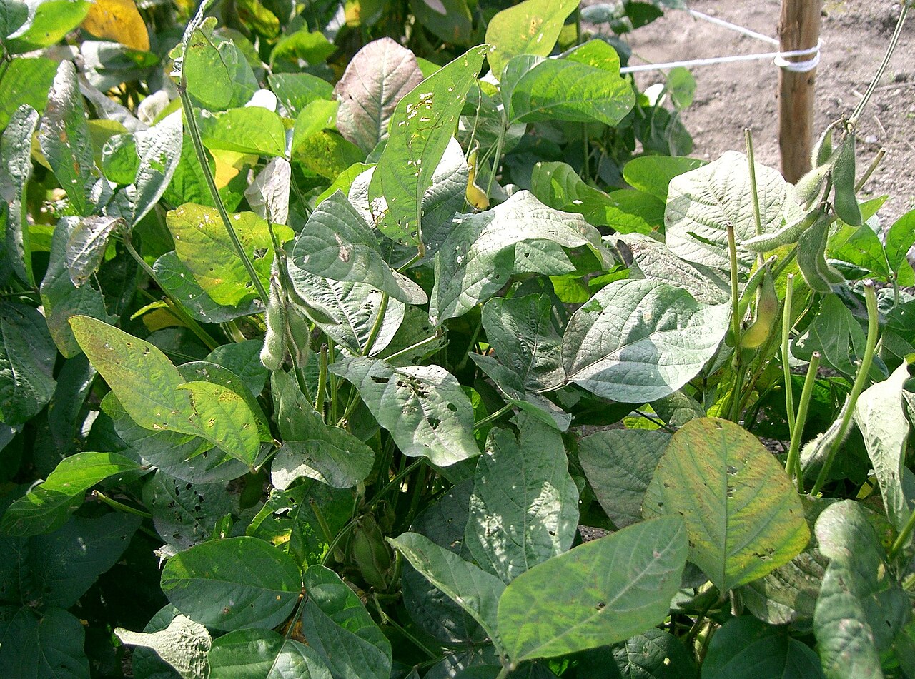
Photo: Kamweti wa Mutu / Wikimedia Commons (CC BY-SA 4.0)
Source: FAONewsRoom
Comments
(0)