
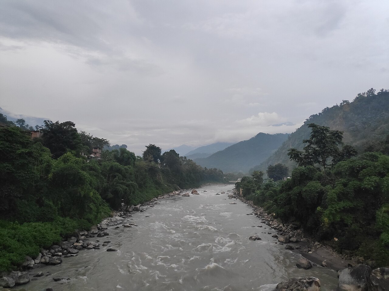
Nepal has had two big floods in quick succession: in August at Rasuwa-Gyirong, and most recently on 11 October on the Budhi Gandaki. In an interview with Prothom Alo's Partha Shankar Saha, Saswata Sanyal, intervention manager in the disaster risk reduction division of the international body ICIMOD, said the flood poses no direct physical risk to Bangladesh. The Budhi Gandaki joins the Trishuli, which becomes the Narayani or Gandak before meeting the Ganges, and even August's larger flood had subsided to normal levels before reaching Devghat in southern Nepal.
Nepal's National Disaster Risk Reduction and Management Authority (NDRRMA) says, as a first assessment, that a landslide blocked a tributary and the flood followed when that dam broke; no link to glaciers or ice has yet been established. The August flood began with rock and ice avalanches high in the mountains. Warming, Sanyal said, thins glaciers, thaws permafrost and increases meltwater, but attributing any single disaster to climate change needs decades of satellite records, repeated measurements of glacier height, radar monitoring and other evidence.
On 11 October residents began warning one another at about 4:45 am. The Arughat police post issued the first official warning at 5:30 am, the Flood Forecasting Division (FFD) and NDRRMA learned of it around 6 am, and mass text alerts went out at 6:40 am. The nearest automatic water-level gauge is at Arughat, about 65 kilometres downstream of the source. Nepal's government puts recovery needs at about $4.74 billion, roughly 75 percent of it for infrastructure.
For early warning, Sanyal proposed layered systems: satellite monitoring to spot new glacial lakes, slowly moving slopes and landslide dams weeks ahead; seismic detection to catch large slope failures within minutes; and upstream sensors such as cameras, geophones and tripwires. Warnings should trigger when water rises fast, falls abnormally or a sensor goes silent; on 11 October levels were also seen to drop unusually. Trained local observers, with satellite phones or radio as back-up when mobile towers fail, are part of the system too.
For Bangladesh, his advice is to avoid relying only on downstream gauges, to issue warnings without waiting for danger levels to be crossed, to verify local reports quickly and turn them into official alerts, to weigh multiple hazards in planning riverbank settlements and embankments, and to share upstream flow data in real time. Bangladesh's Cyclone Preparedness Programme (CPP), he said, could be a model for the whole region.
Photo: Gaurav_Dhwaj_Khadka / Wikimedia Commons (CC BY-SA 4.0); the Budhi Gandaki river
Source: Prothom Alo


Comments
(0)