
There are parts of Bangladesh where the landscape seems to change with the seasons.
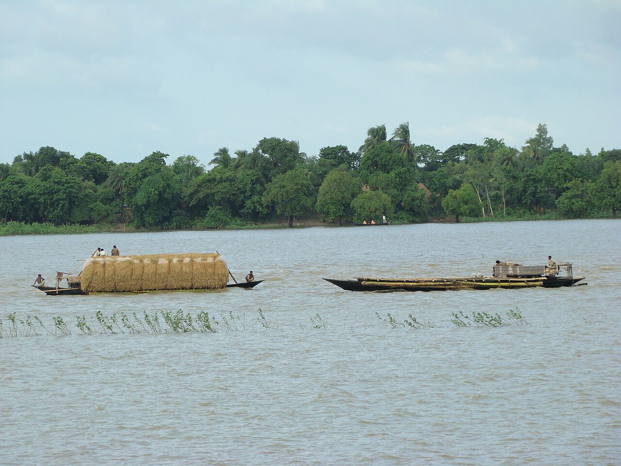
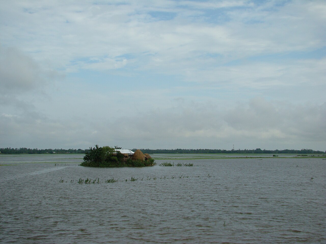
In the monsoon, water spreads across the low land. Boats move through channels and open wetland, fishermen cast their nets, and distant villages look like small islands floating on the water. A few months later the same place is dry ground: tractors turning the soil, green Boro seedlings in rows, and by April and May, golden rice waiting to be cut.
The Lower Atrai Basin, known as Agro-Ecological Zone 5 or AEZ-05, is one of these changing landscapes. It is one of Bangladesh's 30 agro-ecological zones, and the place most people think of when they hear its name is Chalan Beel.
But AEZ-05 is more than a wetland, and more than a shaded patch on a map. Soil, water, elevation, flooding, crops, fisheries and human decisions interact here every year.
Where is AEZ-5, the Lower Atrai Basin?
An agro-ecological zone is an area where landform, soil, water and climate are similar enough for farming to follow broadly the same rules. The Bangladesh Agricultural Research Council (BARC) uses the 30 zones to plan research and to set fertiliser recommendations.
According to BARC's Fertilizer Recommendation Guide 2024, the Lower Atrai Basin covers 85,105 hectares, or about 851 square kilometres. The guide's district table puts roughly 37,400 hectares in Naogaon, 35,400 in Natore and 7,200 in Sirajganj, with the small remainder in neighbouring districts; older descriptions of the zone also take in small parts of Rajshahi and Bogura.
The zone sits between two larger landforms: the raised, reddish soils of the Barind Tract to the west and north, and the Ganges River Floodplain to the south. The low, almost level ground between them is the Lower Atrai Basin.
Chalan Beel and AEZ-05 are not the same thing
One distinction matters from the start. The AEZ-05 boundary and the present-day boundary of Chalan Beel are different things. An agro-ecological zone is a fixed classification built from landform, soil, water and climate. Chalan Beel is a living wetland whose water-covered area grows and shrinks with the seasons and the years.
A study published in 2026, citing earlier sources, notes that Chalan Beel once spread over more than 1,000 square kilometres. Its core wetland now covers about 375 square kilometres, of which only 52 to 78 square kilometres stay under water all year. Parts of the wider Chalan Beel area also lie in Pabna and Sirajganj, outside AEZ-05. The zone's 851 square kilometres should not be read as the size of the beel.
For agricultural research, this is not a technicality. A village may belong to AEZ-05 while its individual fields still differ widely in elevation, soil, water depth and cropping opportunity.
A landscape built by rivers and sediment
The Lower Atrai Basin did not take its present shape overnight. Shifting river courses, sediment laid down flood after flood, and long geological change together built this lowland. The Atrai River comes down from the north through Naogaon and carries the basin's water towards Chalan Beel.
Researchers describe the basin as low ground formed from a mixture of Atrai and Ganges sediments and material washed down from the Barind Tract. Land north of the Atrai is generally smoother, while floodplain ridges and broad basins occur farther south. Heavy clay soils dominate much of the region, although lighter loamy soils occur on some ridges.
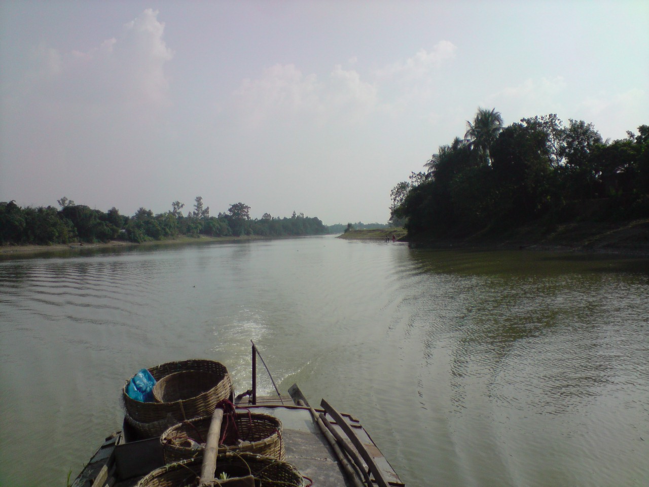
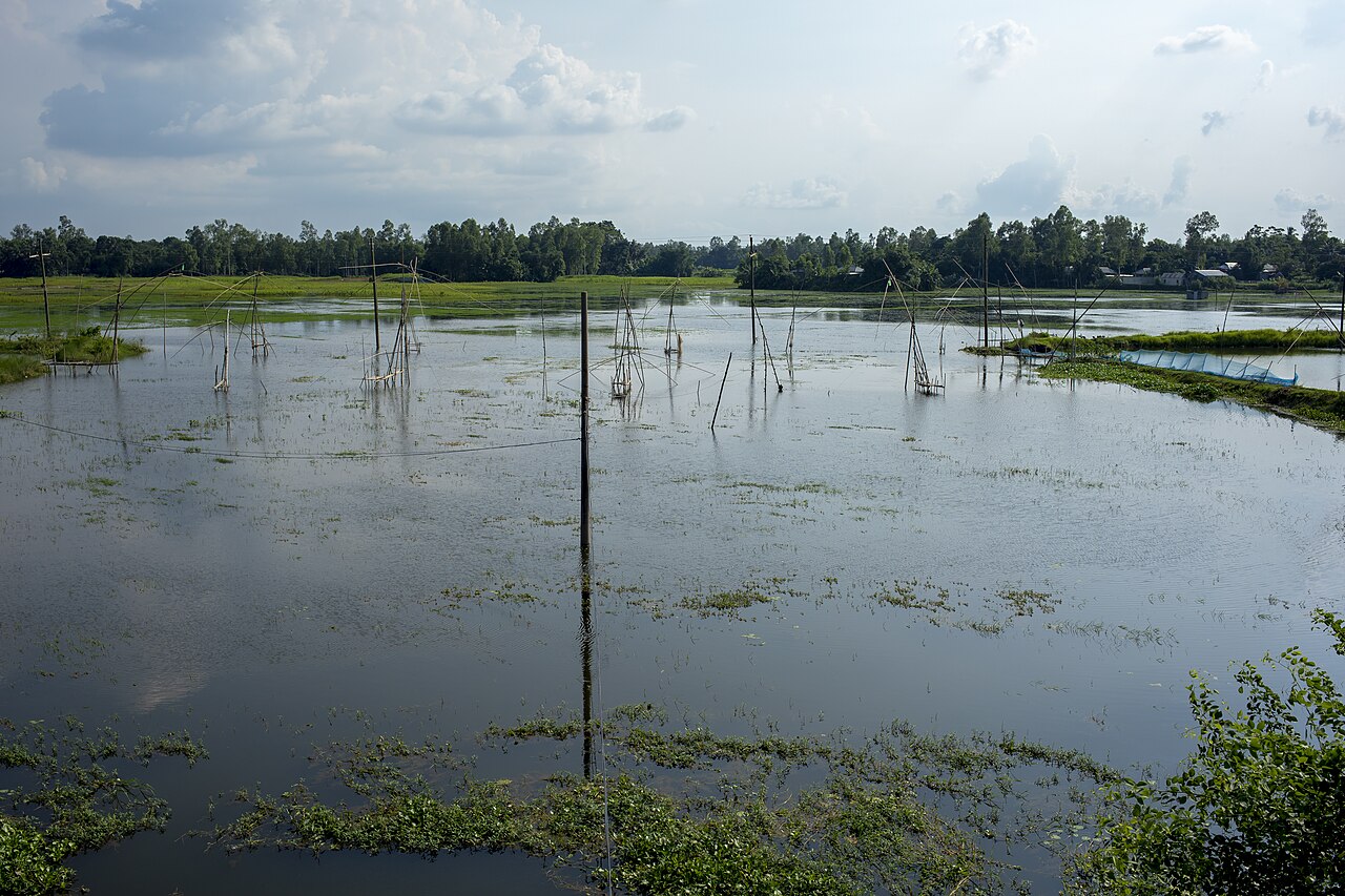
Chalan Beel itself is not a single lake. It is a network of beels, canals and small rivers that join up in the rainy season to form one vast sheet of water. Halti Beel in Natore is part of that network. In the dry season the water retreats, the separate beels reappear, and much of the land around them becomes rice field.
That seasonal swing is one of the defining features of the Lower Atrai Basin. Chalan Beel is at once a rice bowl, a fishery, a refuge for birds and aquatic plants, a natural store for monsoon water, and a livelihood for a very large number of people.
When low land controls farming
Elevation, more than anything else, drives farming here. BARC's figures put 65 per cent of the zone in lowland, where monsoon flooding is deep, and another 21 per cent in medium lowland. Medium highland makes up just 8 per cent and highland 2 per cent; homesteads and water bodies account for the remaining 4 per cent. In other words, close to nine-tenths of the land goes under water to some degree every rainy season.
Because the ground is so flat and low, heavy rain cannot drain away quickly, and when the rivers rise, water can stand in the lowest parts for months. At the basin's edges, or on slightly higher ground, the water recedes earlier and cultivation can start sooner.
For farmers these differences are not theoretical. One plot may stay under water until late October; another, a few hundred metres away, may dry out a month earlier. On the first, the farmer can only wait for the Boro season. On the second, there may be time for mustard or another short crop before Boro.
Planting dates, varieties, land preparation and irrigation can all change according to where a field sits in the basin. That is why a regional classification is a useful starting point, but practical decisions need field-level information.
Heavy clay: a resource and a challenge
BARC's guide describes the zone's soils as dark grey, heavy and acidic clays. Seven general soil types occur, but non-calcareous dark grey floodplain soils cover most of the area. Organic matter is low to medium, and deficiencies of nitrogen, phosphorus, potassium, sulphur, zinc and boron are common.
Acidity varies too. The guide gives topsoil pH of 4.2 to 6.5 on medium lowland and 4.5 to 6.7 on lowland, so fields range from very strongly acidic to slightly acidic. Nitrogen and phosphorus are very low to low almost everywhere.
Heavy clay holds water, which often suits rice. The same quality creates problems. When water stays too long, the soil is slow to dry, land preparation is delayed, and machinery struggles to enter the field. A farmer may have only a narrow window to prepare the land and plant the next crop.
What does the soil actually contain?
A 2008 study in the Journal of Agroforestry and Environment examined lowland rice soils in the Chalan Beel area. Textures ranged from silty clay to clay, well suited to rice, and organic matter was low to moderate.
The nutrient picture was mixed. Nitrogen, phosphorus and zinc were low; sulphur, boron, copper and iron were generally medium; potassium, calcium and magnesium were relatively high. The sampled soils were close to neutral in pH, a reminder of how much conditions vary within one zone. The authors concluded that the soils had good potential to sustain the existing Boro, fallow, Aman pattern if the deficiencies were managed, and noted that changing land use was pushing up demand for nitrogen and phosphorus fertiliser.
The lesson is that it is not enough to say a region has fertile soil. A farmer needs to know which nutrient is short, where it is short, and how much is actually needed. The answer can change from one field to the next.
The minerals beneath the measurements
Look deeper and the soil reveals more. A 2021 study in the Dhaka University Journal of Biological Sciences used X-ray diffraction to examine the clay in the topsoil of seven soil series in the Lower Atrai Basin: Binsara, Taras, Jaonia, Hasnabad, Laskara, Manda and Mainam.
Mica was the dominant clay mineral in every soil except Laskara, at 41 to 59 per cent; in Laskara an interstratified mica-vermiculite-smectite mineral led. Kaolinite, chlorite and small amounts of vermiculite also appeared in different series. The researchers concluded that most of the soils are at an early stage of weathering, which means they still hold minerals that can release nutrients. An earlier 2008 study of Chalan Beel soils in the Journal of the Bangladesh Agricultural University also found mica to be the leading clay mineral.
Mineral names rarely enter a farmer's day. For researchers they matter, because clay composition affects how a soil holds water, how it holds nutrients and how readily plants can take them up. It is one more reason why future farm databases should record more than the name of a village or a soil category, and capture soil properties field by field wherever possible.
Rice remains at the centre
Rice dominates farming in the Lower Atrai Basin. Because so much of the land is low, two kinds of rice have long defined the calendar: irrigated Boro in the dry season, and deepwater Aman that grows with the rising monsoon water. Research from the Chalan Beel area documents a Boro, fallow, deepwater Aman pattern and similar rice-based systems.
Once the floodwater drains, Boro planting spreads across the open fields of Chalan Beel. The crop must be cut in April and May, before the next water arrives. When early floods or long spells of rain come, those few weeks turn into a race against time.
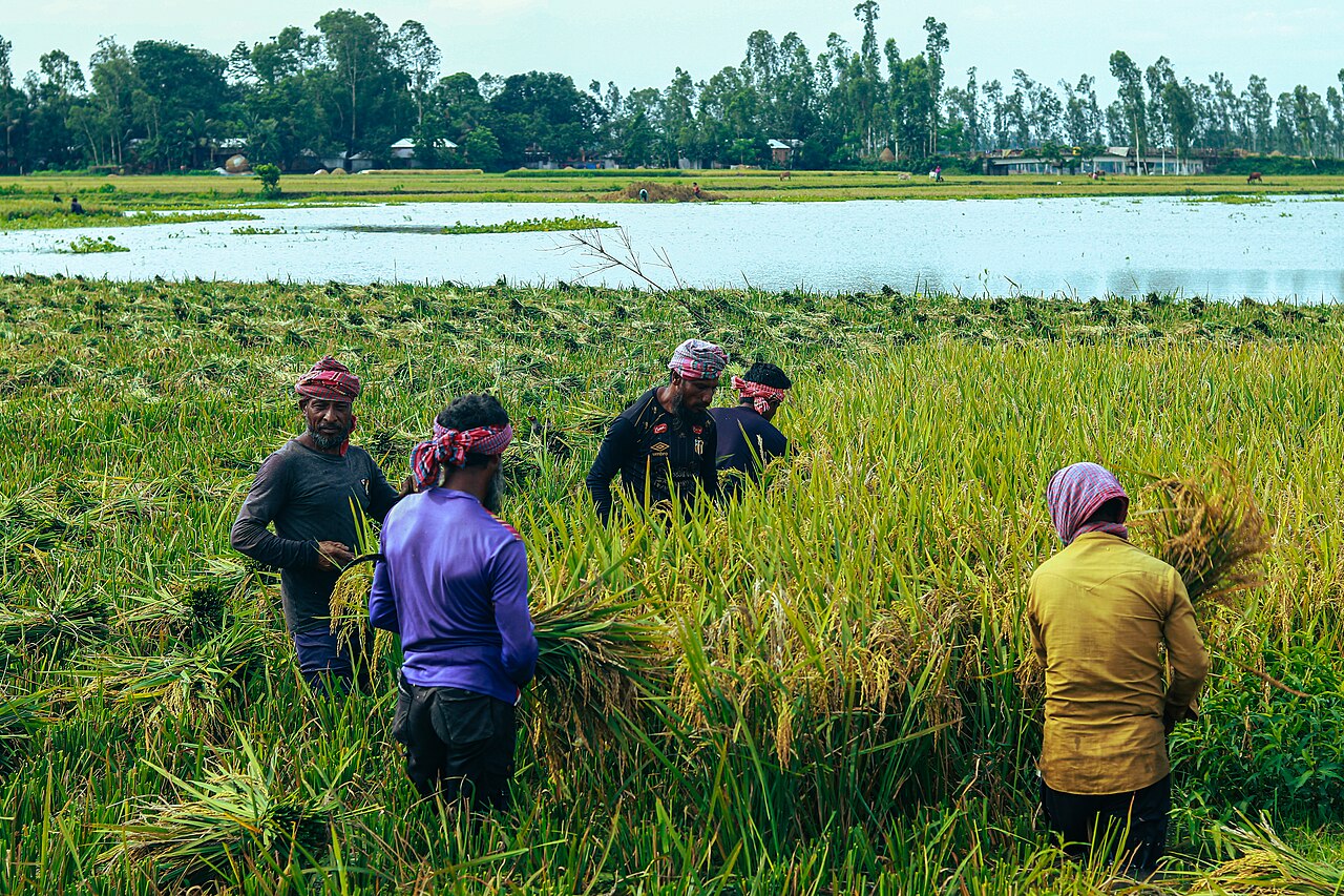
On slightly higher ground, farmers also grow jute, mustard, pulses and vegetables, and jute retting in the monsoon water of the beels is a familiar Chalan Beel scene.
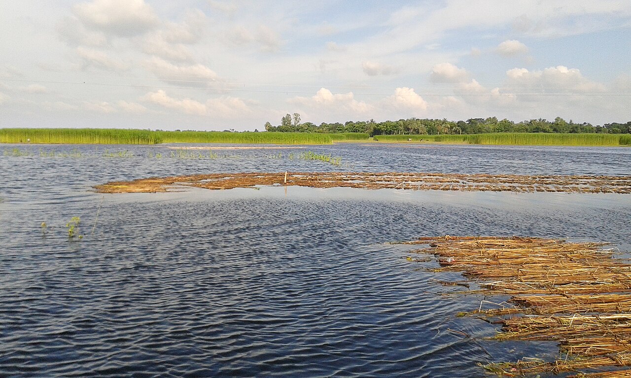
Farming patterns are not fixed, though. Changes in irrigation, drainage, roads, embankments, flood behaviour and market demand can alter what farmers grow and when. A field that once stayed under water for most of the year may open up for dry-season crops if water management changes, while the field next to it stays too wet for the same crop.
One year of data cannot capture the character of AEZ-05. Several years of information on land, water, weather and yield, looked at together, are needed.
Chalan Beel is changing
An open-access study published in Discover Geoscience in June 2026 measured land-use change around Jonail Union in the Chalan Beel area. The researchers classified winter Landsat images from 2003, 2013 and 2023, and surveyed 250 local residents, mostly farmers, fishermen and landowners.
Within the study area, agricultural land grew from about 338 hectares in 2003 to about 608 hectares in 2013 and about 725 hectares in 2023, more than doubling in two decades. Water bodies shrank from about 717 hectares in 2003 to about 444 hectares in 2013, before partly recovering. Around 41 per cent of respondents named the economic returns from farming as a driver of change, and 62 per cent pointed to government support such as irrigation subsidies.
Is more farmland automatically a good thing? Not necessarily. It can mean more food and more income. But when wetland turns into permanent cropland or settlement, there can be costs for fish habitat, biodiversity, seasonal water storage and flood management.
So the useful question is not whether agriculture is expanding, but:
- Where is agriculture expanding, and why?
- What kind of land is it replacing?
- What is being grown there, and how much do farmers earn?
- What are the environmental costs?
Answering those questions takes two kinds of evidence: the view from orbit, and the knowledge of the people who work the land.
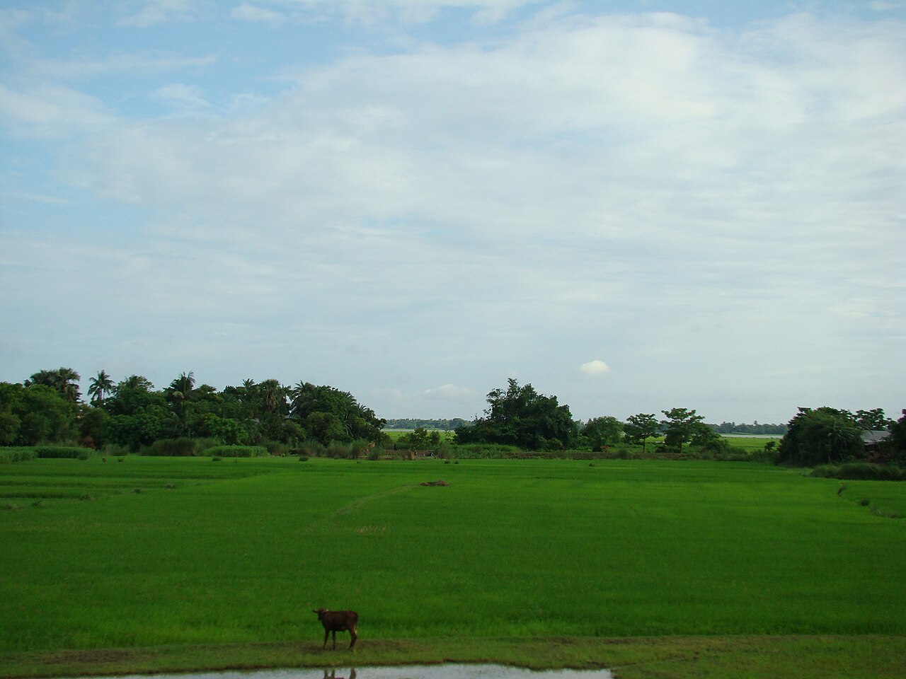
Satellites can see what is changing
Modern remote sensing offers a powerful way to watch this landscape. Landsat and Sentinel-2 imagery can show which fields carry a crop, how well it is growing, where water is standing and how the land changes from season to season. Vegetation indices such as NDVI track how green and vigorous a crop is.
Digital elevation data can separate higher fields from lower ones. Weather datasets add rainfall, temperature and humidity, and flood datasets help estimate when and where water stays on the land. The great advantage is that all of this can be revisited for the same place, year after year.
A satellite image can show that crop growth fell in a field. It cannot always say why.
- Was the field flooded early?
- Was irrigation unavailable?
- Was fertiliser insufficient?
- Did pests or disease damage the crop?
- Was planting delayed, or a different variety used?
The farmer usually knows. This is where farmer-generated field data becomes essential.
The farmer sees what the satellite cannot
Imagine a village in AEZ-05 with 100 fields. If the whole village is represented by one soil value and one yield figure, the database may look complete and still miss the reality of farming.
Now imagine each field has its own record: location and elevation; soil type, pH and organic matter; nitrogen, phosphorus and potassium; sulphur, zinc and boron; soil moisture, flood depth and how long water stood; crop variety, planting and harvest dates; fertiliser, irrigation, pest and disease events; production cost, yield and market price; and the farmer's own observations.
That becomes something far more valuable: a field-level evidence system that connects what the satellite sees with what actually happened on the ground. It could become the foundation of the next generation of farm research.
Where artificial intelligence can help
Because soil, water and land use vary so much across space and time, AEZ-05 is a strong setting for data-driven research. With enough history, machine-learning models could investigate:
- which fields carry the highest flood risk, and which hold water longest;
- which crops stay stable under different water conditions;
- how rainfall affects yield;
- where nutrient deficiencies are most likely;
- when irrigation pays most;
- where crop diversification could be profitable;
- how input costs shape farm income;
- how land-use change affects productivity.
Artificial intelligence could combine soil, weather, satellite, hydrological and farmer data to find patterns that are hard to see by hand.
A prediction is not a field result
There is one rule that cannot be bent: an AI prediction is not the same as a field-verified result.
If a model predicts a yield, it should be checked against the actual harvest. If it predicts flood risk, it should be compared with observed water levels. If it is wrong, the research system should learn from the error.
The process should run like this:
AEZ → Village → Field → Data → Scientific Research → Field Validation → Farmer Adoption → Measurable Impact.
Seven research programmes the basin could support
AEZ-05 could anchor several long-term research programmes:
- a village-level agricultural database that records change over many years;
- field-level studies linking soil, water, weather and crop performance;
- continuous satellite monitoring of the relationship between wetland and farmland;
- flood-risk and yield-loss models built on historical water conditions;
- research into crop diversification on fields with different water regimes;
- economic research connecting production costs, market prices and real farm profit;
- field validation of satellite and AI-based predictions.
This changes what agricultural research is for. It is no longer only about producing a paper. It becomes a cycle of collecting evidence, testing an idea, measuring the result and returning the knowledge to the farmer.
Water as resource and risk
The future of farming in AEZ-05 will depend on how well Bangladesh understands its water and its land. Water is a resource here, but too much water is a risk. Heavy clay supports rice, but makes drainage and land preparation harder. Wetlands sustain fisheries and biodiversity, while farm expansion brings food and income. These are not separate issues. They are connected.
That is why the Lower Atrai Basin should be studied as a living agricultural and ecological system rather than a geographical label. The next generation of research should ask sharper questions:
- Which field produces the highest yield, and why?
- Which field faces the greatest flood risk?
- How much does waterlogging cut income?
- Which nutrients limit production?
- Which crop combinations give the best return?
- How much does a farmer spend, and how much does the farmer earn?
And above all: does agricultural research actually improve the farmer's decisions and livelihood?
The basin already has rivers, wetlands, heavy soils, rice fields, farmers, satellite records and fast-growing digital tools. The challenge is to connect them.
The goal is not more data for its own sake. It is better decisions, validated research and measurable improvement in farmers' lives.
Cover photo: Chalan Beel in the monsoon, Natore. Photo: Shahnoor Habib Munmun / Wikimedia Commons (CC BY 3.0)
Comments
(0)