
 Bangladesh
AEZ-05 Lower Atrai Basin: Where Water, Heavy Soils, Rice Fields and Changing Wetlands Shape Northern Bangladesh
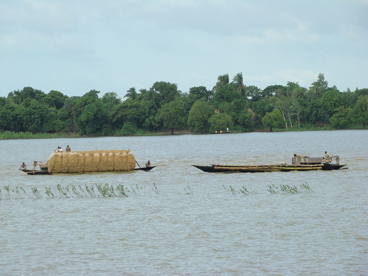
The Lower Atrai Basin, Bangladesh's fifth agro-ecological zone, covers about 85,000 hectares of low land in Naogaon and Natore. Two-thirds of it is lowland, its heavy grey clays are acidic, and it is bound up with Chalan Beel, where fields that lie under water in the monsoon carry Boro rice in the dry season. Land use is changing fast. Satellite data and artificial intelligence can help track that change, provided every prediction is tested in farmers' fields.