
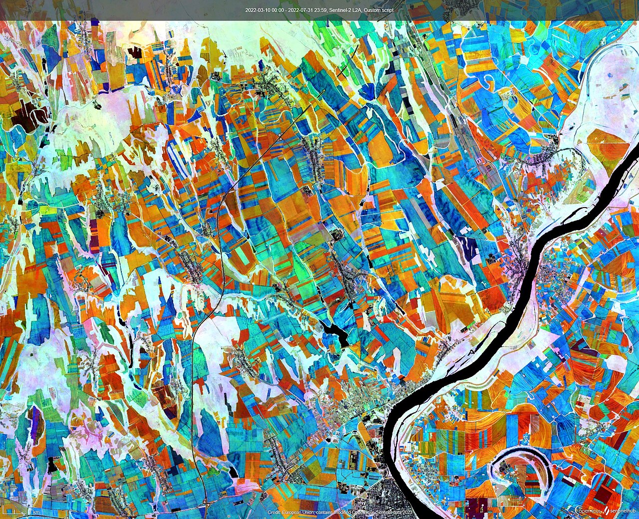
Free satellite imagery may be one of the most useful precision farming tools a grower can use, according to research at the University of Arkansas Division of Agriculture reported by Farms.com.
Healthy and stressed plants reflect light differently, so sensors and images can pick up stress before it shows in the field. "When we see areas that are not looking great in a field, it may already be too late," said Ana Morales-Ona Smith, extension soil fertility specialist and assistant professor. "Sensors can help us detect stress earlier so we can take timely actions before yield is affected."
Her comparison of free satellite imagery, commercial satellite data, drone images and handheld sensors found that the different systems often identified similar crop patterns. Image quality and resolution vary, but the results suggest free satellite data can inform many farm decisions, particularly when combined with soil tests and plant tissue samples to decide where fertiliser is needed.
Free imagery also has a long archive, so farmers can look back over years of a field to find areas that repeatedly underperform, which makes it useful even for growers without drones or other equipment.
A second line of work looks at drones that apply crop protection products. Studies comparing drones with ground sprayers found that faster drone speeds can reduce spray coverage, but lower coverage does not always mean poorer disease control, especially with products that move inside the plant. "This is not efficacy," said Jason Davis, remote sensing and pesticide application extension specialist. "Coverage tells us where the spray droplets are deposited, but it doesn't necessarily predict how well the product will control disease." The team is working out the best flight speeds, heights and spray settings.
Photo: SentinelHub / Wikimedia Commons (CC BY 2.0)
Source: Farms.com
Comments
(0)