 Agrotech
Viridis View will map US cover crops and tillage county by county from satellite data
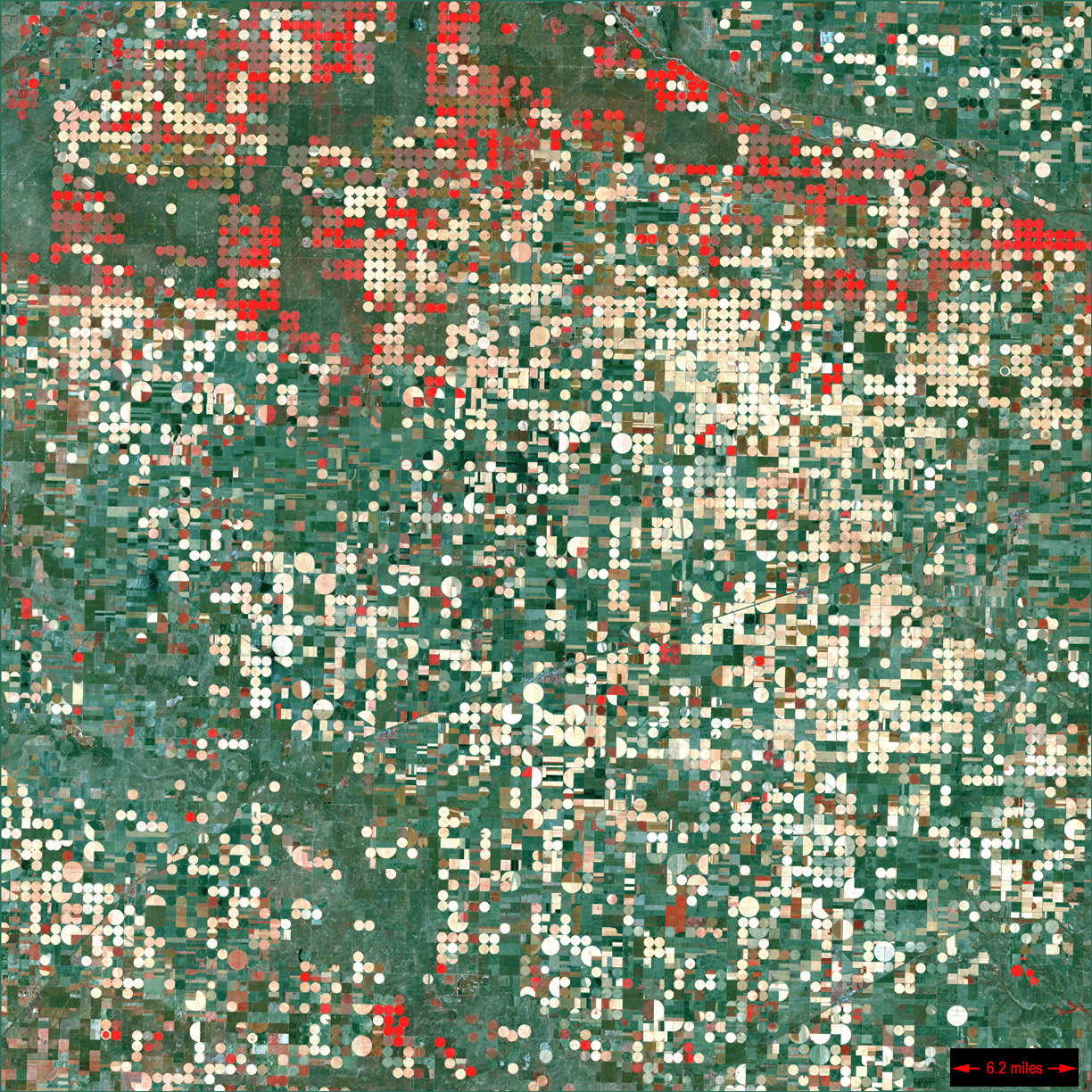
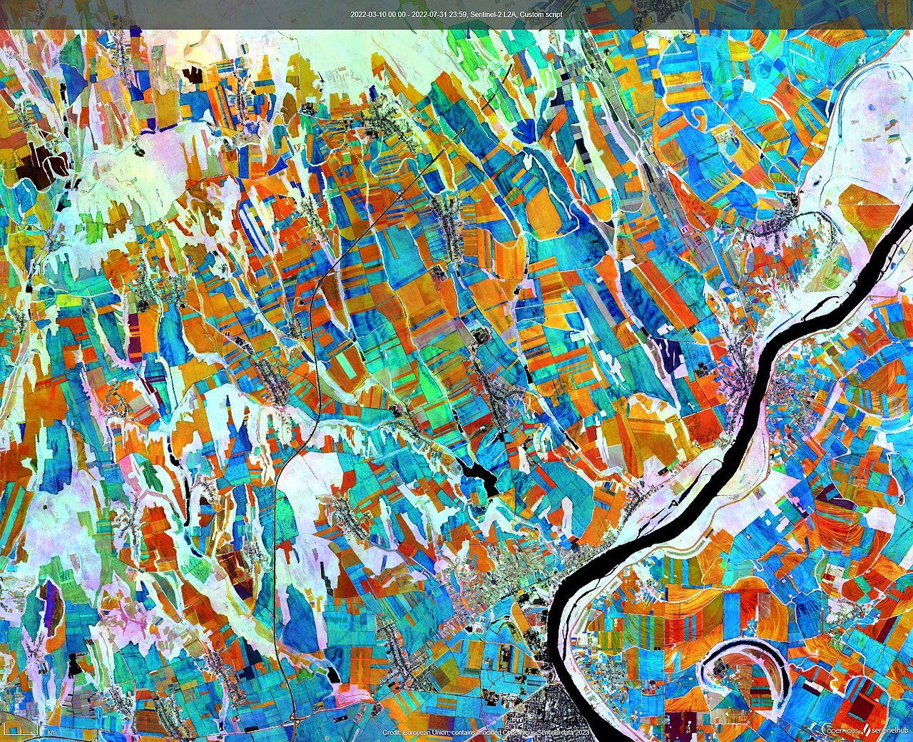
The Conservation Technology Information Center is building a free online viewer that pools satellite-based estimates of cover crops and conservation tillage from five data providers, to be unveiled on 19 November.