
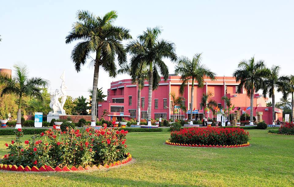
Bangladesh Agricultural University (BAU) in Mymensingh has begun an advanced training course in GIS and remote sensing for its teachers. The six-day course opened at 9am on Saturday, 3 October, in the Statistical, GIS and Crop Modelling Lab of the Department of Agrometeorology, Faculty of Agriculture, and runs until 8 October.
GIS (geographic information systems) and remote sensing, the analysis of satellite and aerial images to map fields, soils and weather, are now routine tools in agricultural research. The course aims to widen their use in farm education and research and so raise the skills and quality of agriculture graduates. Twenty teachers from different departments are taking part.
Opening the course at midday, Vice-Chancellor Professor Dr Md Rafiqul Islam Sarder said there is no alternative to making the best use of modern technology to meet the challenges of climate change and build a smart farming system. "Advanced training like this will make our teachers and researchers more skilled in modern research," he said, adding that the benefit would show in world-class agriculture graduates.
The training is run under the Higher Education Acceleration and Transformation (HEAT) project, jointly by the University Grants Commission of Bangladesh and BAU's Faculty of Agriculture, under the theme of transforming agricultural education to improve the quality of graduates. It covers advanced GIS and remote sensing and how the technology is applied in research and teaching.
Project SPM Professor Dr Masum Ahmad presided. Special guests were Faculty of Agriculture Dean Professor Dr G M Mujibar Rahman, Professor Dr M Hammadur Rahman of the Department of Agricultural Extension Education, and Planning and Development Director Professor Dr Mohammad Mosharraf Uddin Bhuiyan. Professor Dr Mohammad Mofizur Rahman Jahangir moderated.
The report is based on news sent by Banglanews24's district correspondent.
Photo: Arif16micro / Wikimedia Commons (CC BY-SA 4.0)
Source: Banglanews24

Comments
(0)