
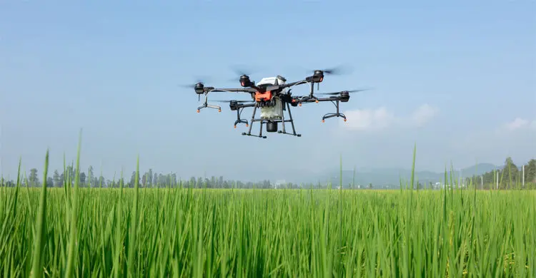
The Department of Agricultural Extension (DAE) wants to use drone and satellite images to monitor crops and assess crop damage, helping to raise production. The images will be used to monitor field crops, measure crops affected by floods and flash floods and determine the area of damaged land, so that field crop data can be collected quickly and accurately.
The plans were discussed on Wednesday, 17 April, at a workshop titled "The Use of Drone and Satellite Image for Crop Monitoring and Crop Damage Assessment" at the InterContinental hotel in Dhaka, organised jointly by an Asian Development Bank (ADB) technical assistance project and DAE.
The project
- Under the project, drone and satellite images will be used in Sylhet district to monitor field crops, measure crops hit by floods or flash floods, and determine the amount of damaged land.
- O'CREADS Limited is providing technical support for field data collection as ADB's consultancy firm.
Who took part
The workshop was chaired by DAE director general Badal Chandra Biswas. Also present were Dr. Moloy Chowdhury, additional secretary (extension) of the Ministry of Agriculture; joint secretary Dr. Md. Mahbubur Rahman; Tajul Islam Patwary, director of DAE's Field Service Wing; and Md. Rezaul Islam, director of the Planning, Project Implementation and ICT Wing. The opening speech was given by DAE deputy director Dr. Farida Parveen, national TA coordinator of the project, and ADB principal economist Takashi Yamano attended.
Source: Jagonews24. First published in Bengali on The Agro News.
Comments
(0)