
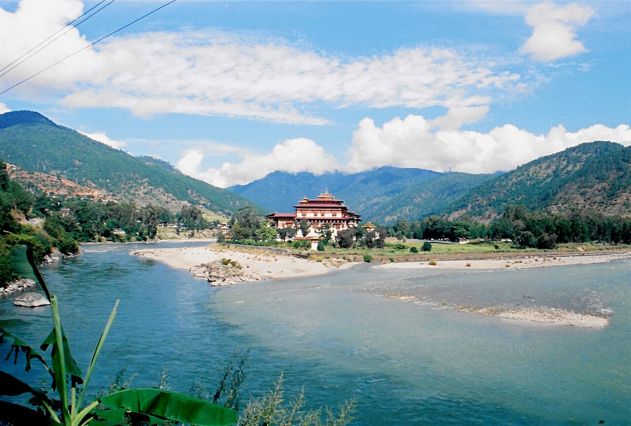
A glacial lake outburst flood struck Bhutan's Gasa district on 29 October when Sintaphu Tsho, a moraine-dammed lake at about 4,480 metres near Wakila mountain, gave way. The water destroyed the Gasa Tshachu hot springs site and damaged the roads to Laya, a highland settlement, cutting access and livelihoods along the Mo Chhu valley. Initial reports said no one was killed, and downstream alerts were issued in India, particularly in Assam and West Bengal.
The cause and the volume released have not yet been established. On 30 October, Bhutan's National Center for Hydrology and Meteorology (NCHM) warned that another artificial lake had formed at Taktsemakhang, near the confluence of the Sintaphu Chhu and Lungu Chhu, and told communities along the Mo Chhu and Punatsangchhu valleys to stay away from riverbanks and flood-prone ground.
The lake was no unknown. A 2021 study in Applied Sciences surveyed it at about 238,314 square metres and roughly 6.2 million cubic metres, and modelled nine flood scenarios releasing 40, 70 and 90 per cent of its water, with risks to settlements, roads, bridges and hydropower. NCHM ran a field assessment from 8 May to 8 June 2023. A 2026 study of 278 Bhutanese glacial lakes found more than 11,000 people, over 2,500 buildings, more than 250 km of roads, over 400 bridges and about 20 square kilometres of farmland exposed to possible outbursts.
Writing in Down To Earth, Debasmita Majumder argues that such studies do not by themselves reduce risk. Bhutan's 2025 Assessment of Climate-Induced Loss and Damage, prepared with the UN Development Programme, found in August 2024 that six of the 18 GLOF warning sirens in the Pho Chhu and Mo Chhu basins were not working, along with outdated equipment, weak links between basin systems and limited real-time data. A 2024-2034 roadmap by NCHM and the World Bank calls for better breach modelling, a GIS inventory of dangerous lakes and dedicated GLOF warning services.
Public information reviewed for the analysis does not show which risk-reduction measures were in place at Sintaphu Tsho before the outburst. The question now, the writer says, is how the event unfolded, what the authorities knew and how warnings were passed on and acted upon.
The risk crosses borders. The Mo Chhu joins the Pho Chhu near Punakha to form the Punatsangchhu, which enters India as the Sankosh river, so a flood that starts in Bhutan can reach communities in India. The analysis calls for shared hydrological data, clear communication rules and plans that account for how little time people downstream may have, since ice and rock avalanches, landslides and river blockages can add to a glacial flood.
Photo: Taxidesign / Wikimedia Commons (CC BY 2.0)
Source: Down To Earth


Comments
(0)