
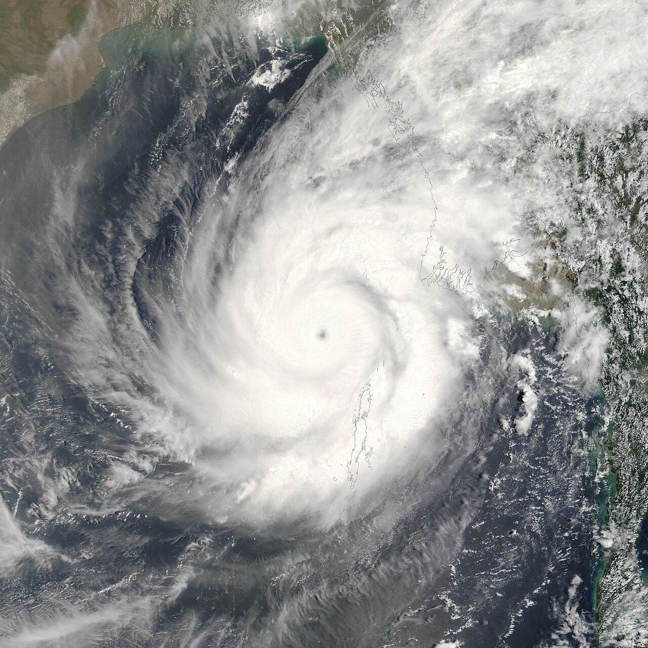
The low-pressure area over the Bay of Bengal has become a well-marked low, the Bangladesh Meteorological Department said on Saturday (24 October). It lies over the east-central Bay and adjoining areas and may move further west-northwest and intensify.
Meteorologist Md Omar Faruk said the low could deepen into a depression and then a cyclone, which would be named Arnab. Its likely target is the coast of Andhra Pradesh or Tamil Nadu in India, where it could make landfall on Monday. Its effect on Bangladesh is not expected to be strong, but the southern coast may see rain and gusty wind, and Dhaka may get some rain around Tuesday, though not necessarily much.
In the 24 hours from 9am on Saturday, one or two places in Chattogram division may get rain or thundershowers with gusty wind, while the rest of the country stays mainly dry. Sunday is also expected to be mainly dry.
On Monday one or two places in Chattogram division may get rain. On Tuesday rain or thundershowers with gusty wind are likely at many places in Khulna, Barishal and Chattogram divisions. On Wednesday many places in Rangpur, Rajshahi, Dhaka, Mymensingh, Khulna, Barishal, Chattogram and Sylhet divisions may get rain, and day and night temperatures may fall slightly.
In the 24 hours to 6am on Saturday the highest temperature was 35.6 degrees Celsius at Sandwip and at Ambagan in Chattogram, and the lowest 17.7 degrees at Tetulia in Panchagarh.
Photo: Satellite image of Cyclone Mala over the Bay of Bengal in 2006, NASA / Wikimedia Commons (public domain); representative image
Source: Samakal


Comments
(0)