
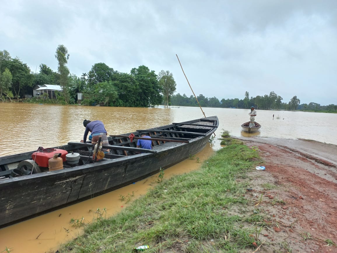
On Saturday 18 July 2026 Bangladesh's Flood Forecasting and Warning Centre said rivers in two districts were above danger level and the Teesta, Dharla and Dudhkumar in the north could cross it at some points within two days. The Kushiyara was above danger level at Fenchuganj in Sylhet and at Markuli in Sunamganj.
Short-term flooding forecast for five northern districts
The forecast said these rivers could keep rising for five days and that within 24 to 48 hours short-lived flooding was possible in low-lying riverside areas of Lalmonirhat, Nilphamari, Rangpur, Gaibandha and Kurigram. The Teesta was already at warning level at the Dalia, Kaunia, Haripur and Tarapur stations. The Brahmaputra-Jamuna had risen over the previous 24 hours but stayed below danger level.
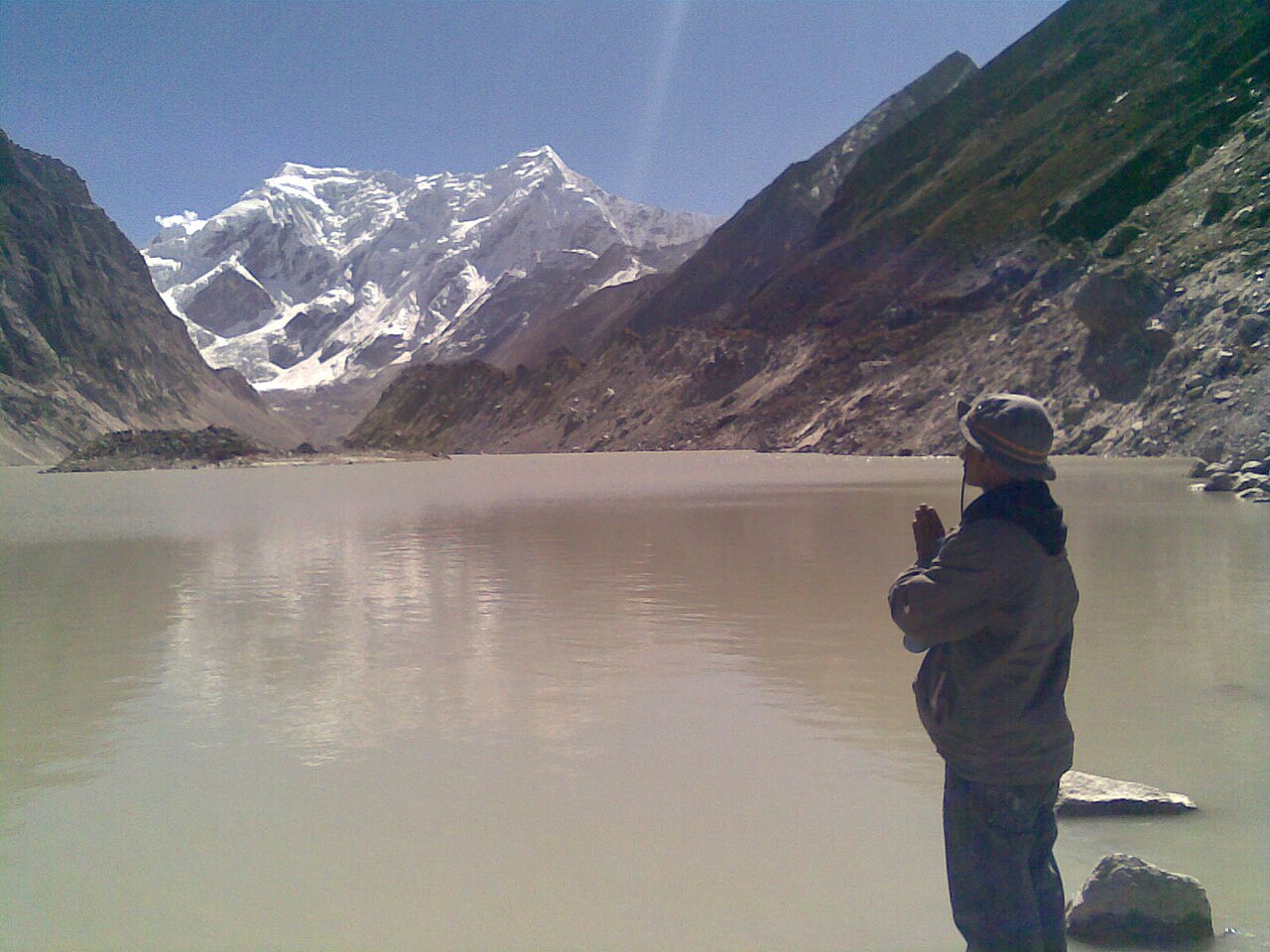
The Teesta rises on Pauhunri in the eastern Himalayas and flows through Sikkim and West Bengal before entering Bangladesh through Rangpur division. Of its 414 km, 109 km lie in Bangladesh, and it joins the Jamuna at Fulchhari in Gaibandha. On 22 June the same year upstream runoff had already pushed it one centimetre above danger level at the Teesta Barrage point in Hatibandha, Lalmonirhat; The Daily Star reported that all 44 barrage gates were opened and that damage to Aman seedbeds and Boro paddy fields was reported from flooded chars and low ground.
What the Water Development Board engineers said
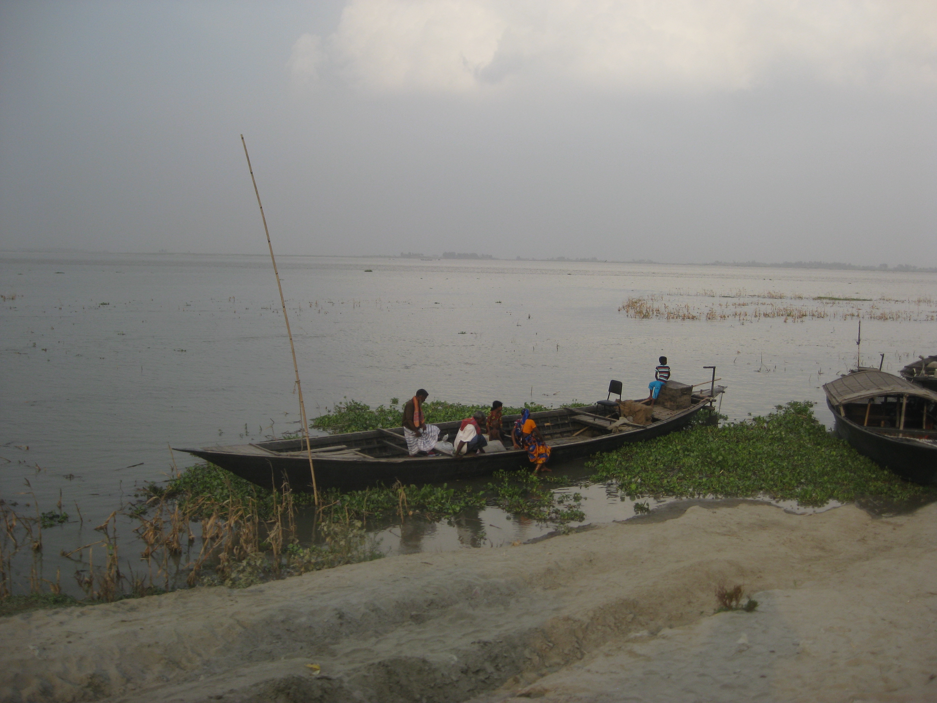
Md Rakibul Hasan, executive engineer of the Kurigram Water Development Board, told BBC Bangla that no river in the district had yet crossed danger level. "Water is rising because of intense rain upstream in India's Assam. But the Brahmaputra will not cross the danger level this time, so although water will enter riverside areas there is nothing to worry about as far as flooding goes," he said.
Shariful Islam, executive engineer at Gaibandha, said the Teesta could cross danger level and all rivers would swell for two or three days, flooding low ground. "There is nothing to worry about, though. The water will go down again after a few days," he said. Earlier in July the Brahmaputra and Jamuna had crossed danger level and submerged homes on chars in Gaibandha Sadar, Sundarganj, Fulchhari and Saghata. Rafiqul Islam of Manikkor char in Fulchhari told BBC Bangla the same fear had returned.
Md Rabiul Islam, executive engineer of the Rangpur Water Development Board, said rain on the Indian side would raise the Teesta in Rangpur and Kurigram. "There is a risk of short-term flooding in these areas, but the flow is still below danger level," he said. The Dharla, known as the Jaldhaka where it rises in Sikkim, enters Bangladesh through Lalmonirhat and joins the Jamuna near Kurigram; together with the Teesta it has caused major flooding in the June to September monsoon.
Sylhet, the rivers around Dhaka and the weather outlook
In the Surma-Kushiyara basin the Surma was at warning level at Chhatak and the Kushiyara at Sherpur in Moulvibazar. The Someshwari was above danger level at Kalmakanda in Netrokona. The Kushiyara forms where the Barak splits on the border and runs about 160 km before meeting the Surma to become the Meghna. The centre, set up in 1972 under the Bangladesh Water Development Board, issues the country's flood forecasts under the Ministry of Water Resources.
The Meteorological Department expected rain of varying intensity nationwide for five days from 18 July, with very heavy falls possible in parts of Rangpur division. Earlier in July a week of continuous rain had flooded at least seven districts including Chattogram and Bandarban; the Ministry of Disaster Management and Relief counted at least 58 deaths from the rain and landslides, 32 of them in Cox's Bazar (19 local residents and 13 Rohingya).
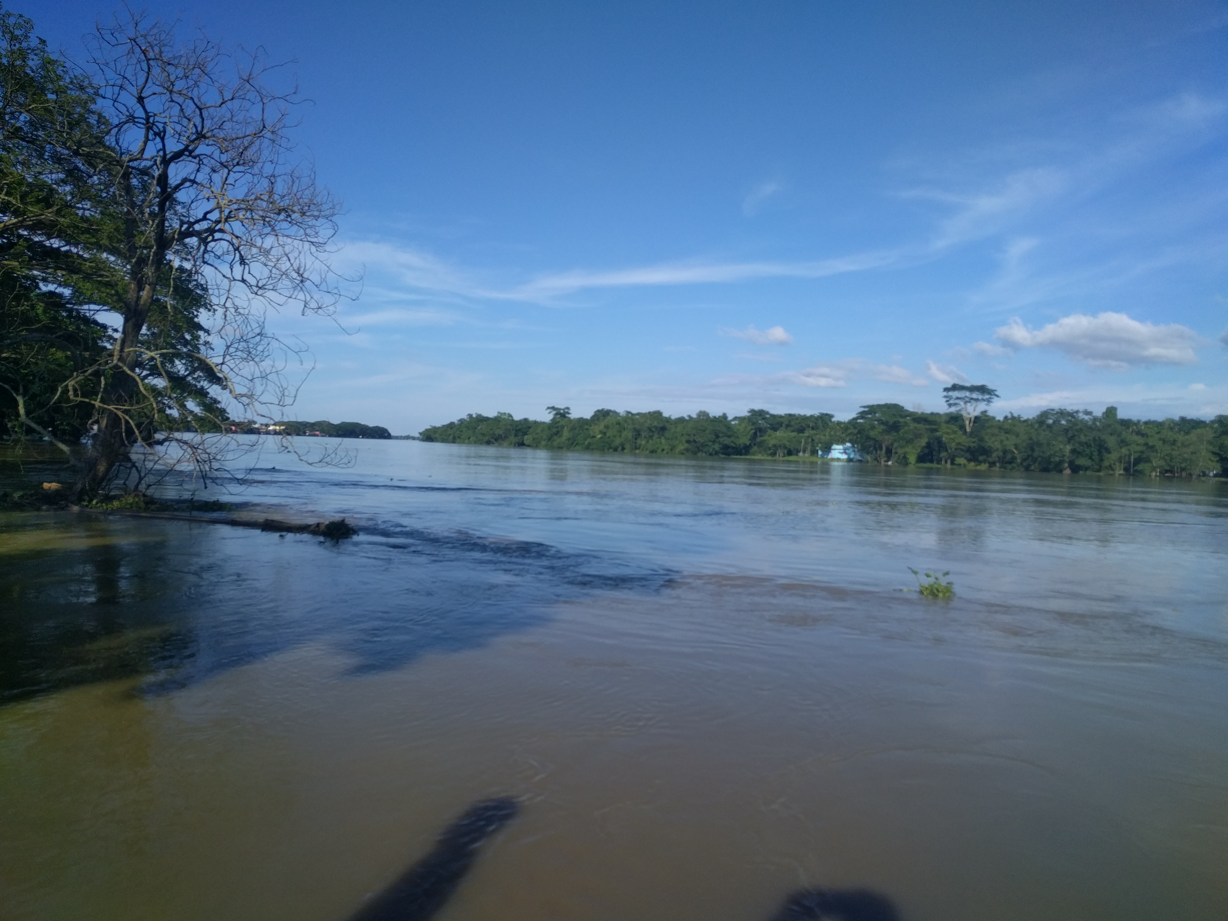
Photo: Tanvir Rahat / Wikimedia Commons (CC BY-SA 4.0)
Sources: BBC Bangla, The Daily Star, Wikipedia (Teesta River; Dharla River; Flood Forecasting and Warning Centre; Kushiyara River)


Comments
(0)