
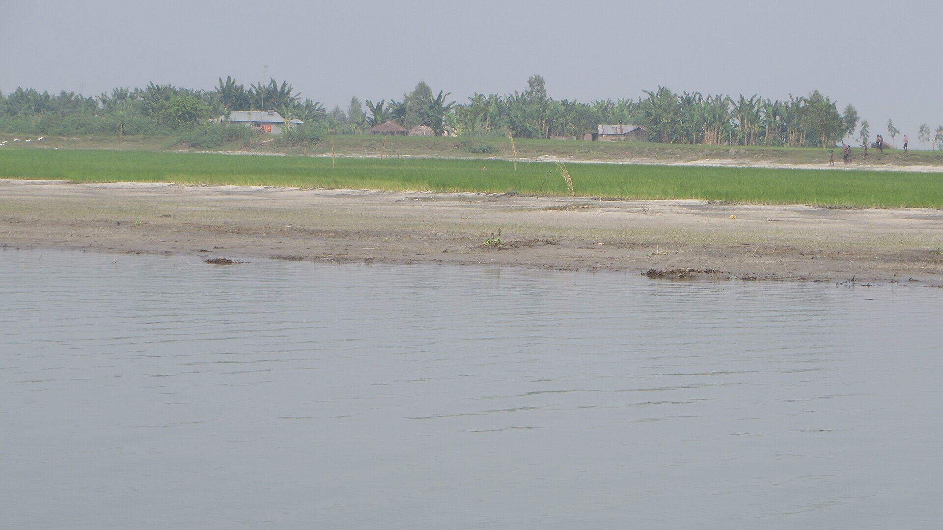
When the monsoon water starts to fall along the Brahmaputra and the Jamuna, the river shows a new face. A strip of pale sand rises where a ferry crossed in August. A field that grew rice last year has slipped into the current. A little further on, a layer of fresh silt has turned bare sand into land that a farmer may be able to sow before winter.
For the families who live along this river, none of this is scenery. It decides where they can plant, when they can sow, how much water a crop will need, how much money they can risk and whether they will harvest before the next flood. In a single season the river can hand a household new land or take away the land it already had.
Bangladesh's agricultural planners call this belt the Active Brahmaputra-Jamuna Floodplain, Agro-Ecological Zone 7, or AEZ-07. It is one of the 30 zones the Bangladesh Agricultural Research Council (BARC) uses to group the country by landform, soil, water and climate. It is also the zone that shows most plainly why farm advice cannot come from one map or one crop list. Within a few hundred metres, the height of the land, the texture of the soil, the length of the flood and the safety of the riverbank can all change.
Where AEZ-07 lies
BARC's Fertilizer Recommendation Guide 2024 gives the zone an area of 319,001 hectares, about 3,190 square kilometres. Its district table names eight districts. The largest share is in Kurigram, about 84,300 hectares, followed by Sirajganj (about 68,700), Gaibandha (about 49,900), Jamalpur (about 33,800), Tangail (about 33,700), Bogura (about 29,700), Manikganj (about 11,400) and Pabna (about 7,500).
The zone follows the river itself. The Brahmaputra enters Bangladesh in Kurigram, where the Teesta joins it near Chilmari. Further south the main channel takes the name Jamuna and runs past Gaibandha, Jamalpur, Bogura, Sirajganj and Tangail before it meets the Padma near Aricha in Manikganj. BARC's guide notes that the old Brahmaputra was diverted into its present Jamuna channel about 200 years ago, which is why the active river and the older floodplain to its east belong to different zones.
A district name on that list does not mean the whole district lies in AEZ-07. Most of Sirajganj, Bogura or Tangail sits in other zones, and only the land along the active river belongs to this one. A researcher comparing yields, or an official planning a programme, needs the zone's real boundary on the official map, not a district label.
The guide also shows what kind of land the zone holds. Only about 5 percent is highland that normally stays above flood level. About 37 percent is medium highland and 20 percent medium lowland, land that floods for part of the monsoon. About 8 percent is lowland that floods deeply. The remaining 30 percent is homesteads and water, a figure that shows how much of the zone is river channel, sandbank and settlement rather than open field.
A river that builds land and takes it away
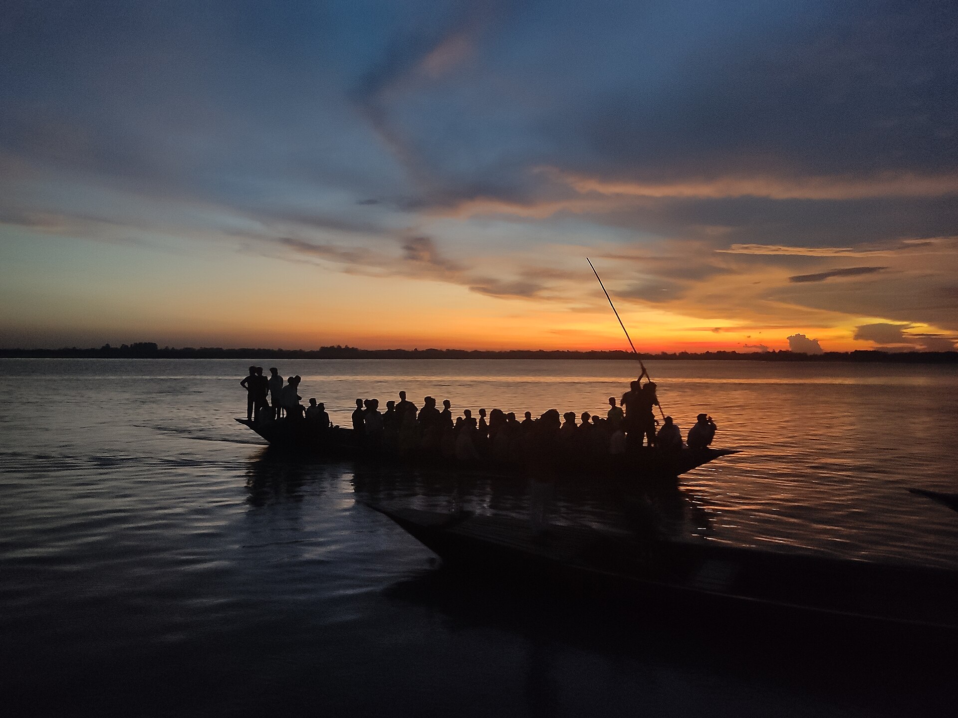
BARC describes AEZ-07 as "the belt of unstable alluvial land" along the two rivers, "where land is constantly being formed and eroded by shifting river channels". The Brahmaputra-Jamuna is a braided river. In the dry season it splits into many channels around islands of sand and silt; in the monsoon it can spread several kilometres from bank to bank and carry enormous loads of sediment. The Bangladesh Delta Plan 2100 lists this floodplain among the country's most changeable landforms, marked by shifting channels, bank erosion and new deposits.
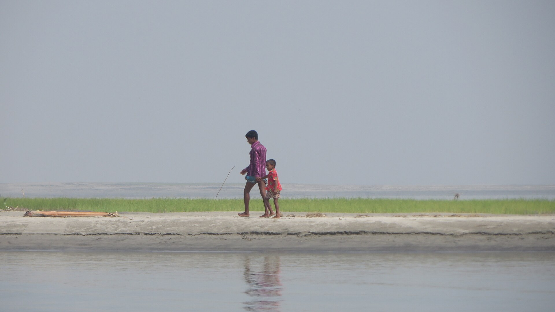
Land that rises out of the river is called a char. Some chars last for decades, gather a cover of grass, then trees and homesteads, and are farmed by families who have lived there for generations. Others are washed away within a few years. Two chars side by side can have very different futures, and the people farming them cannot always tell which kind they are standing on.
That is why one village can hold many kinds of land. A low field near a channel may stay under water for weeks. A raised sandy ridge may drain within days of the flood falling. Older, settled land may hold moisture well, while a newer sandbank lets water run straight through it. Knowing the name of the union or village is not enough. A farmer, or anyone advising one, also needs to know how close the plot is to the river, whether fresh sand or silt has settled on it recently, how long the flood water stays and what irrigation will be possible in the dry months.
Fresh silt is not the same as fertile soil
River sediment built this floodplain, and it can bring useful minerals with it. BARC's guide says the zone's sandy and silty alluvium is "rich in weatherable minerals". But a layer of new silt does not mean a field is ready for every crop. How well a soil performs depends on how much sand and silt it holds, how much organic matter it carries, which nutrients are available and how well it holds water.
The 2024 guide records six general soil types in the zone, with non-calcareous alluvium the most common. Soil reaction runs from strongly acidic to slightly alkaline: the guide's table gives a pH range of 4.4 to 8.4 on medium highland and 4.8 to 8.3 on medium lowland. Organic matter is low to medium on medium highland and very low to low on medium lowland. Shortages of nitrogen, phosphorus, potassium, sulphur, zinc and boron are common across the zone.
In practice this means that a sandy plot may lose irrigation water and fertiliser quickly, while a lower field may become waterlogged. Organic matter, from crop residues, compost or farmyard manure, helps sandy soil hold water and nutrients, but how much a field needs depends on that field.
These are regional descriptions, not measurements of any one plot. Two fields in the same village can test very differently. The guide's figures are a starting point; decisions on fertiliser and irrigation work best when they rest on a soil test, the upazila soil guides of the Soil Resource Development Institute, and advice from the local agriculture office.
Choosing crops for land that keeps changing
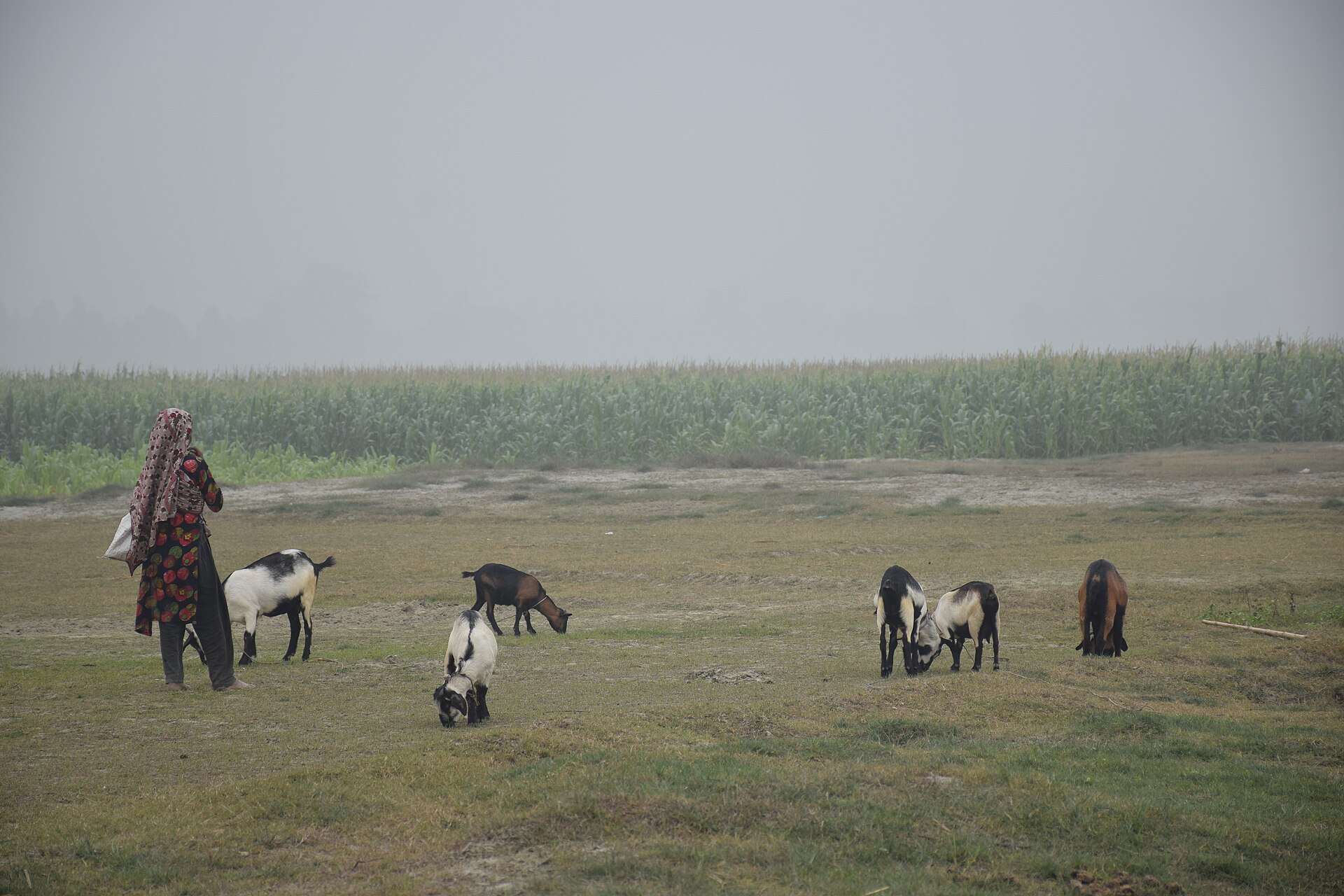
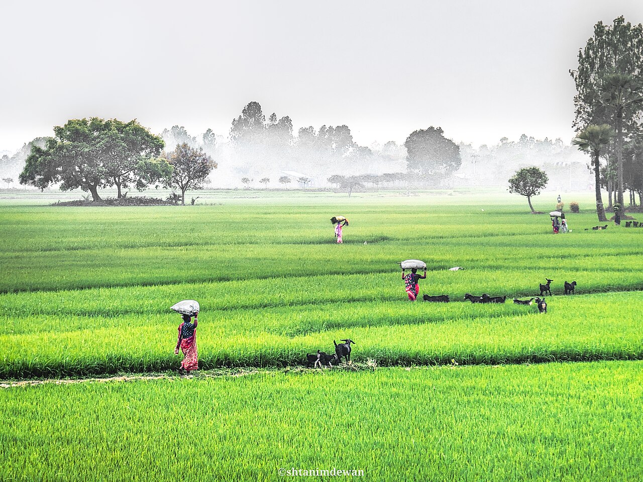
Regional descriptions of AEZ-07 list boro and aman rice, jute, wheat, mustard, sweet potato and groundnut among the crops grown in the zone. On many Jamuna chars, maize, chilli, pulses and groundnut have become familiar dry-season crops, sown on sandy land as soon as the water goes down. Cattle and goats graze the chars' grass, and for many char households livestock is as important as the field.
On the chars, the river largely sets the farming calendar. The dry, or rabi, season begins when the water falls in October and November, and wheat, mustard, maize, groundnut, pulses or sweet potato go into the ground. The aim is to harvest by March or April, because the river starts rising again from May and June. In a year when the water falls late, sowing is pushed back too, and an early flood can drown a ripe crop in the field. That makes short-duration varieties and well-timed sowing more important here than in many other zones.
None of these crops suits every char. The choice depends on the height of the land, when the flood arrives and how long it stays, the texture of the soil, the sowing window, the water available and what the crop will fetch at market. A crop that does well on a raised sandy ridge may fail on a low field that floods early. A crop that is suitable on paper still carries a high risk if its growing season overlaps with the months when floods are likely.
Development groups have tried methods built for this land. One is sandbar cropping, promoted by Practical Action in northern Bangladesh, in which landless families dig pits in dry-season sand, fill them with compost and grow pumpkins that can be stored for months. Methods like this show that bare sand is not always useless; they also show that it needs a different kind of farming from settled soil.
What farmers need is more than a list of crop names. They need timely information on sowing dates, how long a crop takes, how much water it needs, what it is likely to cost and how great the risk of losing it is. Extension officers and farmers' own experience are both needed to turn a regional recommendation into a decision for one field.
Erosion takes more than farmland
Riverbank erosion can strip away a household's whole way of living. Losing a field means losing food and income, but erosion can also take the house, the trees, the road to market and the neighbours a family relies on. For a family that lives mainly from farming, a field lost in August can make the next season uncertain before it has begun. Many char families have moved their homes several times.
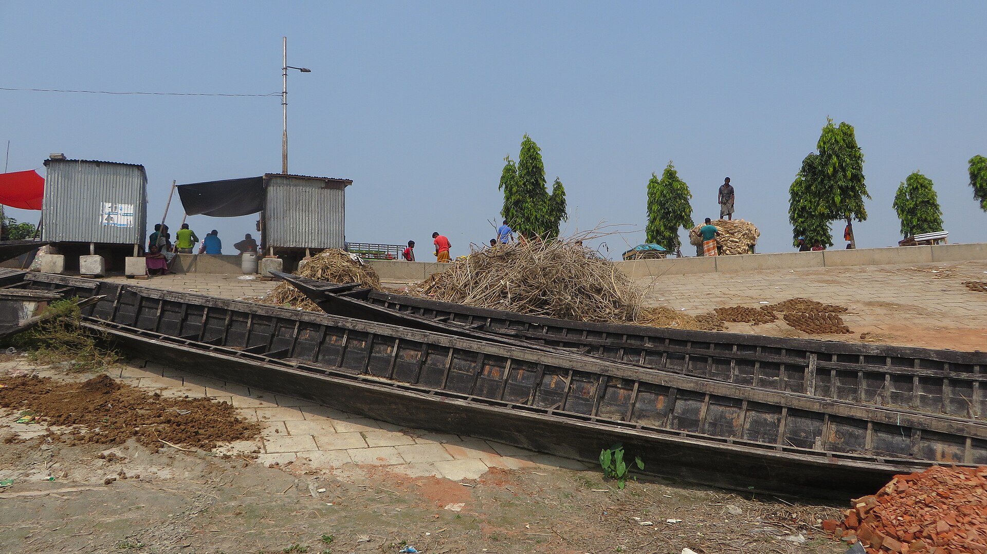
Distance is part of the cost of farming here as well. On many chars a boat is the only way in or out. Seed, fertiliser and diesel for irrigation pumps have to come from the mainland by boat, and the harvest has to leave the same way, which adds cost and time. Short of storage and cash, many farmers sell straight after harvest, when prices are lowest. With the agriculture office, schools and clinics far away, timely advice is not always within reach.
A newly risen char can offer land to farm, but that opportunity has to be weighed with care. How stable the land is, whether there is safe ground for a house, how far it is to water and to the market, and how likely the river is to cut it again all decide whether farming there makes sense. Putting long-term investment into new land without knowing whether it will last is a gamble.
This is why planning for erosion cannot be only a question of embankments and other structures. Planners also need to know which settlements lose land again and again, in which season crop losses are heaviest, which households are hit hardest and what support helps a family rebuild its livelihood after the river moves.
Making weather and flood information useful
Early warning can reduce losses from floods and heavy rain. Bangladesh already has public services for this. The Flood Forecasting and Warning Centre of the Bangladesh Water Development Board issues river level forecasts during the monsoon, and the Bangladesh Agro-Meteorological Information Service publishes weather-based farm advisories for each upazila.
A general forecast, though, is not the same as knowing what will happen in one field. Rain over a district will not flood every plot at the same time or to the same depth. The height of the land, its distance from the river, the drainage paths and local roads and embankments can all change the result.
Putting several kinds of information together gives a firmer basis for judging risk: weather forecasts, river readings, records of past floods, satellite images and what people on the ground can see. That information is useful only when it reaches farmers in time, in language they can act on. It should help them decide whether to sow a little earlier or later, whether to bring the harvest forward, or whether to clear a drain before heavy rain.
No forecast should be presented as certain. Every prediction has limits, and its quality depends on the data behind it and how quickly that data arrives. A farm advisory should say plainly how sure it is, and should not promise that every loss can be avoided.
What satellite images can and cannot show
Satellites already watch this river closely. Images taken on different dates can show where a channel has moved, where a new char has appeared, how far flood water has spread and how land use is changing. The image below, taken by the European Union's Copernicus Sentinel-2 satellite on 17 July 2020, shows the Brahmaputra in flood across Kurigram and Roumari.
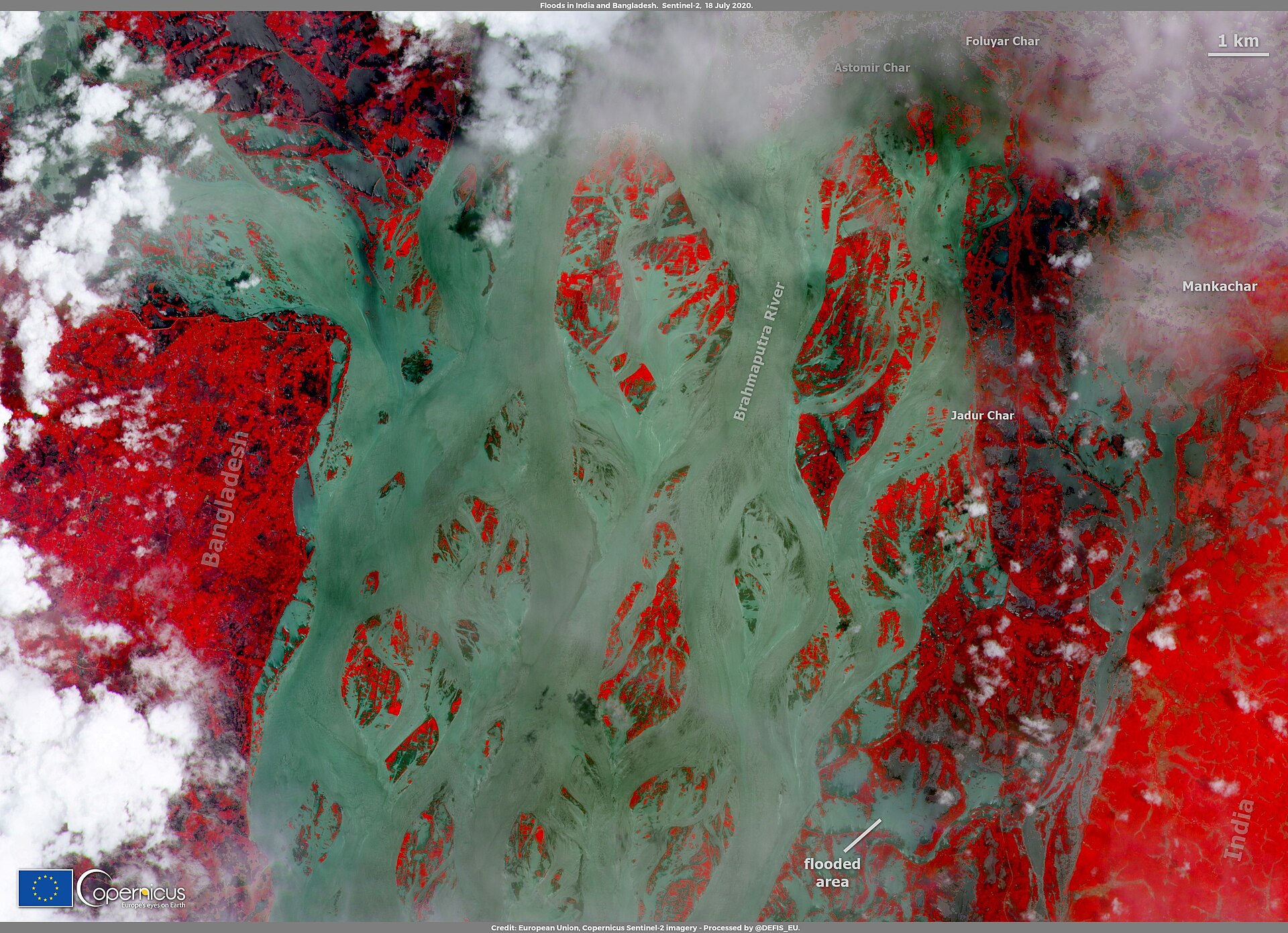
Satellite data alone, however, cannot tell how much nitrogen or zinc a field holds, or promise that it will yield well. It has to be read together with soil information, weather records, crop calendars and what local people report. Digital farm services could bring these sources together. Instead of giving every farmer in a large region the same advice, such a service could take account of where a field is, what kind of land it is, which crop season it is and the latest risk information.
Tools of this kind have to be tested in real conditions. Researchers need to check how closely predictions match the floods and harvests that actually happen, on which kinds of land the errors are largest, whether farmers understand the advice and whether following it leaves them better off. A tool should be judged by what it changes in the field, not by how advanced its software looks.
Research that links the map to the field
One useful research task for AEZ-07 is to record how the land and its farming change over time. Researchers could set satellite images from different years beside records of erosion and char formation, flood duration, cropping patterns and farmers' own accounts. That would show where new farming chances are opening and where the risk is growing.
The quality of the data is central to that work. Official maps, weather records, satellite products and field surveys may cover different years and different scales. Before they are combined, their dates, resolution, definitions and limits need to be checked. Findings from one village should not be treated as true for the whole zone unless the evidence supports it.
Farmers' knowledge belongs in the evidence too. Interviews can record when the flood came, which crops were lost and how families responded. Where possible, those accounts should be checked against weather records, satellite images or other independent sources. That does not lessen local experience; it builds a more reliable picture of what happened and why.
In the end, research in this zone should answer practical questions. Can warnings reach farmers early enough to act on? Which kinds of land are most at risk in which conditions? Do crop recommendations suit newly deposited sandy land? And which gaps in information stop local advisers from giving better advice?
Putting farmers at the centre of planning
The future of farming in the Active Brahmaputra-Jamuna Floodplain will depend on how well farmers and institutions adapt to land that can change quickly. The support that helps is practical: reliable local information, crop choices that fit each kind of land, timely flood and weather advice, extension services that farmers can reach, and plans to help households recover after erosion or crop loss.
The real test is whether research leads to results in the field. What problem is a farmer facing? What evidence describes it? What advice follows from that evidence? And does the advice make a difference that can be measured?
The river here can create new land and new chances, and it can also bring loss. Not every change can be stopped. Better information, local knowledge and careful planning can still help farmers understand the risks, make sounder decisions and make better use of the land the river gives them.
For the families who live with the river, the aim is not to remove uncertainty. It is to make that uncertainty easier to read, so that each season's decisions rest on the best evidence available.
Comments
(0)