
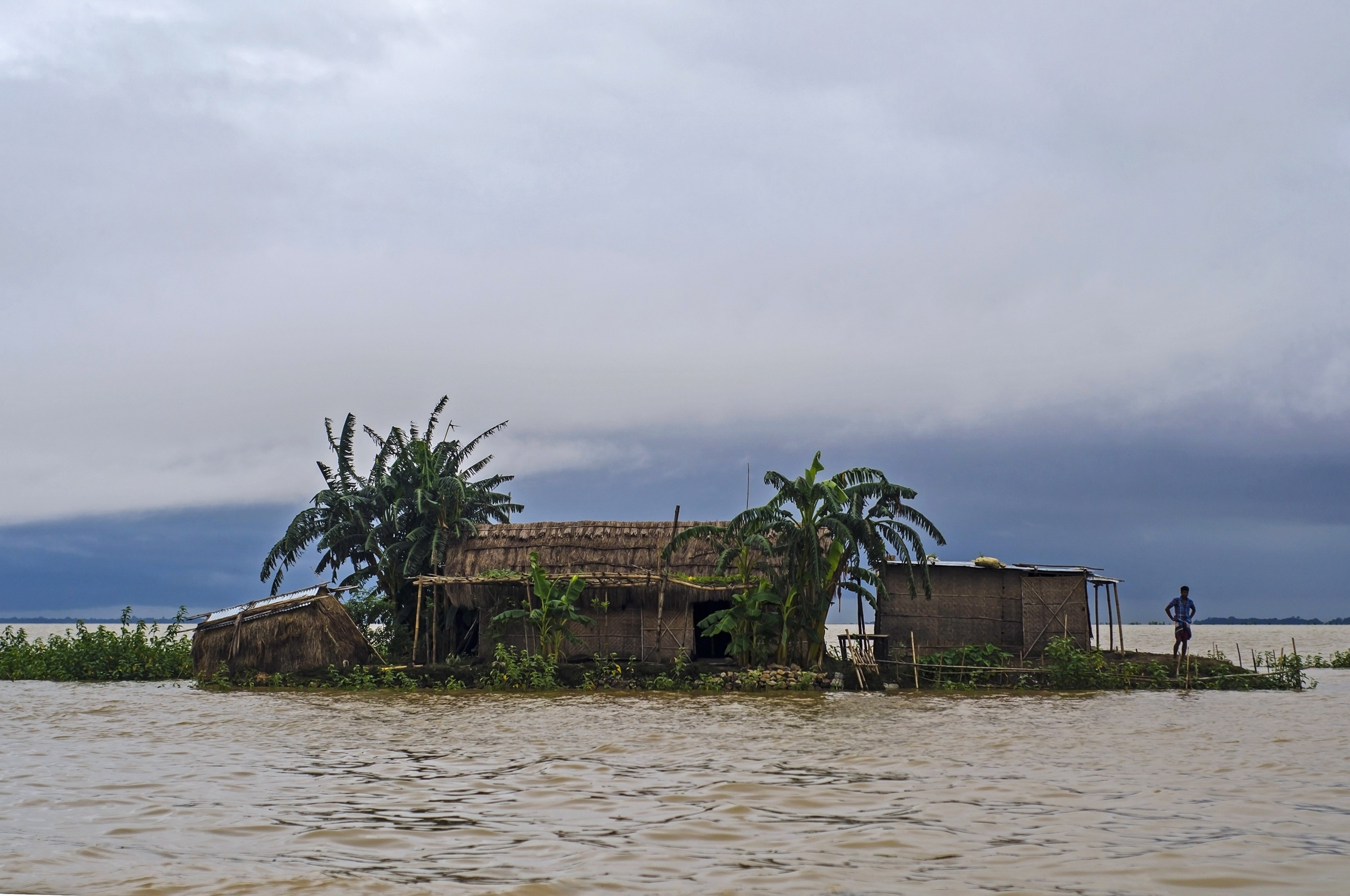
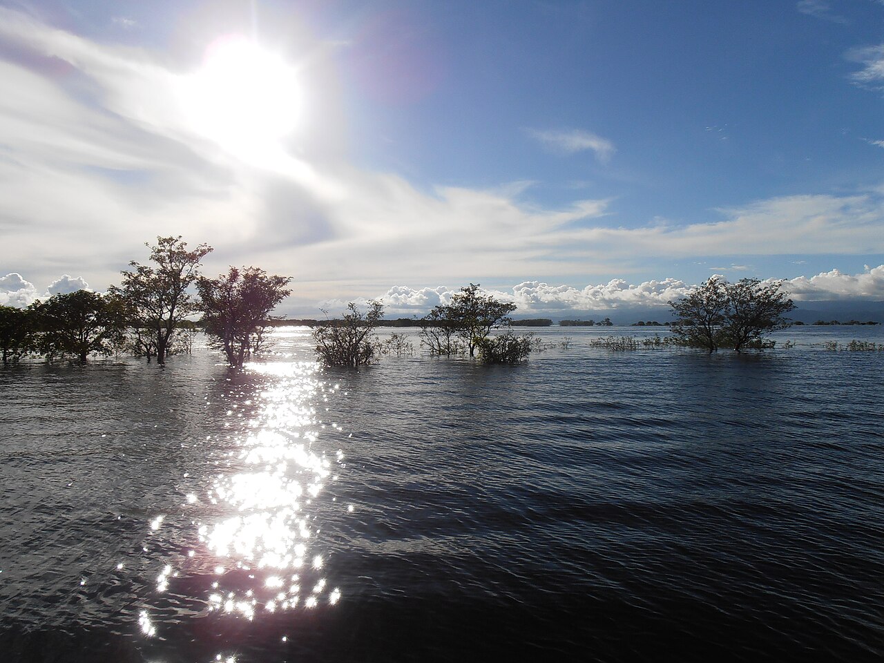
Hill torrents pouring down from upstream submerged the Shaktiarkhola road in Bishwambharpur upazila and the Anwarpur road in Tahirpur upazila of Sunamganj once again at midday on Thursday, 9 July 2026. This cut Tahirpur's direct road link with Sunamganj town; Jagonews24 reported that more than a lakh people were affected.
Heavy to very heavy rain had fallen for two days in Sunamganj and upstream in Cherrapunji and Mawsynram, in the Indian state of Meghalaya, pushing up every river and haor in the district.
The season's heaviest rain and a rising Surma
The Bangladesh Water Development Board (BWDB) recorded 265 millimetres of rain in the district in the 24 hours from 9 am on Wednesday, 8 July, to 9 am on 9 July. Prothom Alo reported that this was the district's highest single-day rainfall of the season, the previous high being 137 millimetres on 28 April. Over the two days, 365 millimetres fell.
At 9 am on 9 July the Surma stood at 7.20 metres at the Shologhar point in Sunamganj town, up from 6.69 metres a day earlier, a rise of 51 centimetres. The danger level there is 7.80 metres, so the river was still flowing 60 centimetres below it. The Surma at Chhatak, the Jadukata and Patlai in Tahirpur, the Kushiyara in Jagannathpur, the Khasiamara in Dowarabazar and the Chalti in Sadar upazila were also rising, and low-lying parts of the border upazilas of Sadar, Chhatak, Bishwambharpur, Dowarabazar and Tahirpur had begun to flood.
The Surma, a transboundary river, forms where the Barak from north-east India divides at the border into the Surma and the Kushiyara; the two rejoin in Kishoreganj as the Meghna. Upstream Cherrapunji (Sohra) has long been called one of the wettest places on Earth, a title now held by nearby Mawsynram, so heavy rain in Meghalaya reaches Sunamganj quickly.
Boats, extra cost and risk for travellers
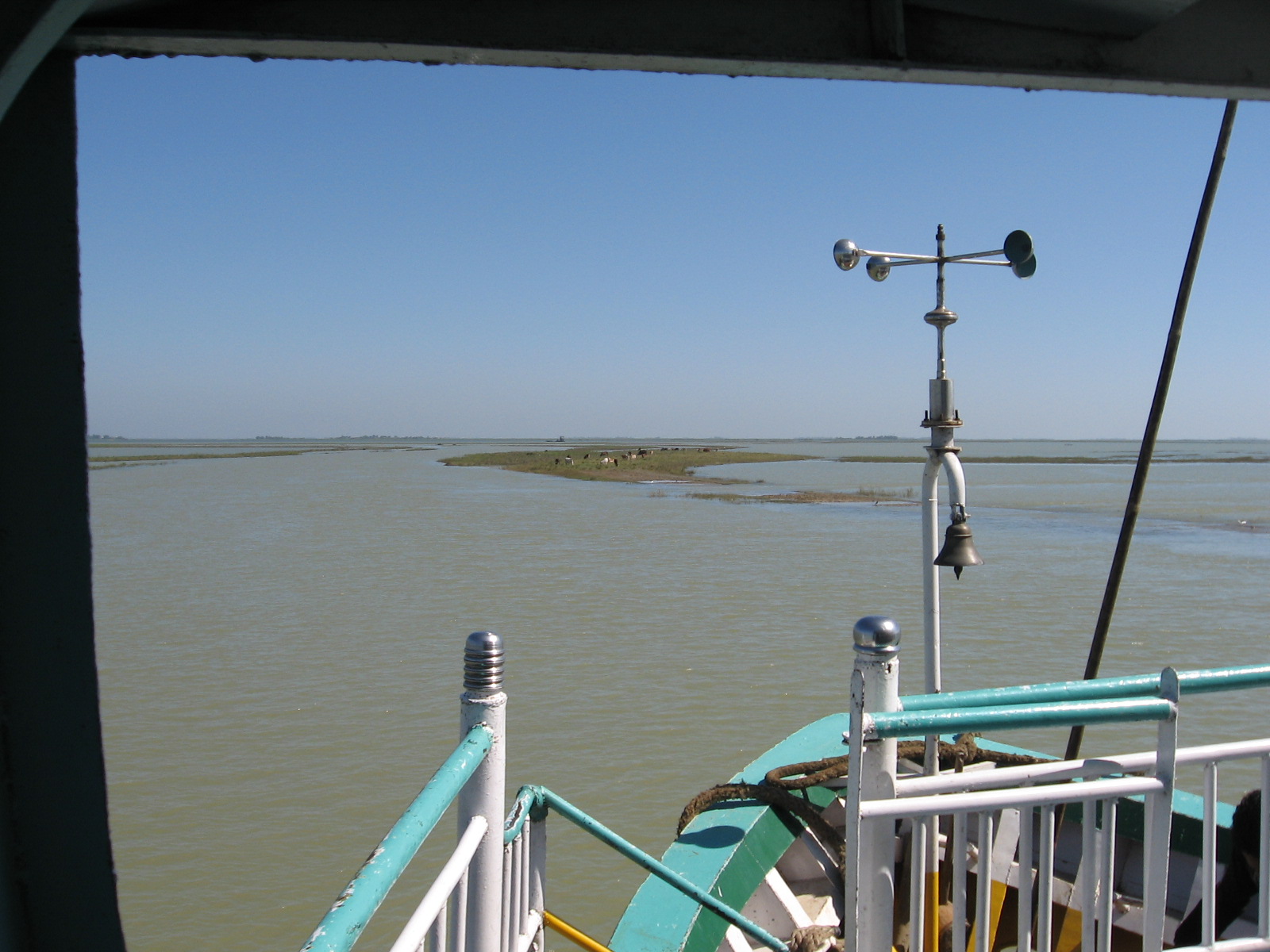
Mamunur Rahman, travelling from Tahirpur to Sunamganj, told Jagonews24: "This road goes under whenever the hill torrents come down. It is truly painful. We cannot accept this suffering year after year."
Another traveller, Azad Mia, said: "My younger sister is admitted to Sunamganj Sadar Hospital and her condition is critical. With the road under water I have to travel by boat, which has raised both the cost and the hardship."
Rezaul, who carries goods by auto-rickshaw from Sunamganj to Tahirpur, said: "The torrent is crossing the road from one side to the other with a strong current. But I have to get these goods to Tahirpur somehow, because if I deliver them I will earn a little extra money."
Not everyone saw the haor water as a threat. Abdul Gani Ansari, a resident of Mallikpur village in Bishwambharpur and a former member of Palash union parishad, told Prothom Alo: "What is in the haor now is what we call a normal monsoon. In the rains people travel across the haor, and this water is needed for fish production. But the rain is very heavy. All we want now is no flood." A haor is a bowl-shaped wetland of north-eastern Bangladesh: a fish breeding ground in the monsoon, boro rice land in the dry season.
The district prepares for a possible flood
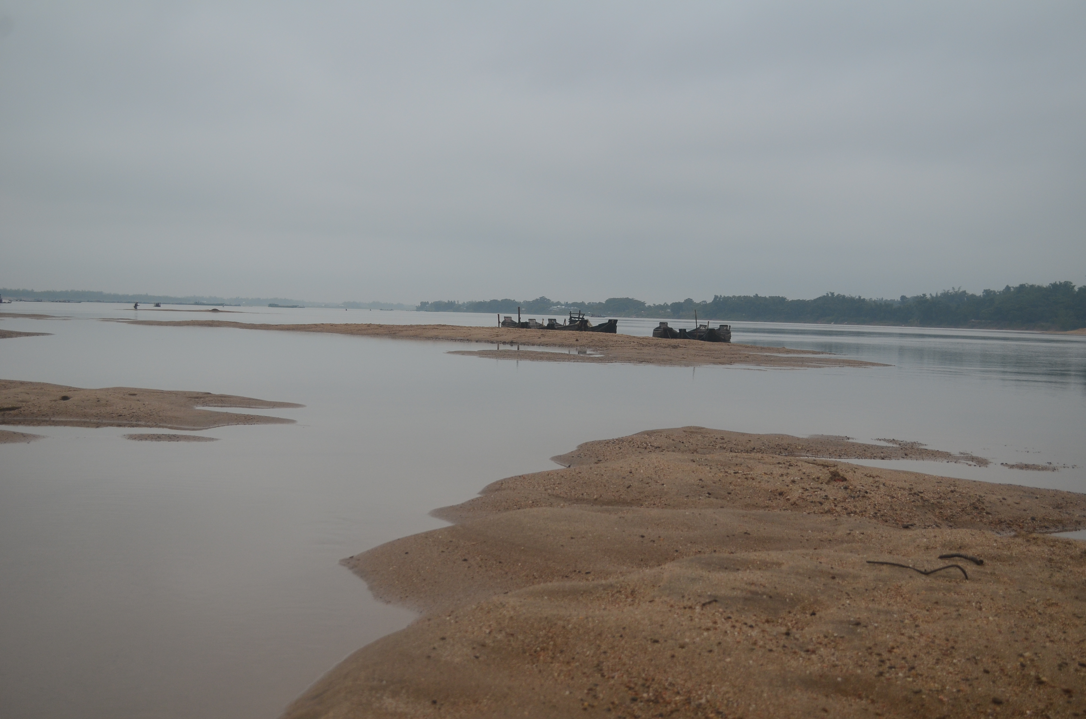
The Bangladesh Meteorological Department forecast heavy rain in Sunamganj on 9 and 10 July. The district administration said a flood could develop within days because of the forecast and the hill torrents. Shelters were readied in every upazila, volunteer and medical teams were formed, water-purification tablets were stocked and boats kept ready, with all offices on alert.
Mehedi Hasan Hridoy, an assistant commissioner at the Deputy Commissioner's office, said the administration had made every preparation to deal with a flood or other disaster.
Md Emdadul Haque, executive engineer (O&M Division-2) of the BWDB in Sunamganj, told Jagonews24 that a flood could develop if the rain and torrents continued, adding that roads in Bishwambharpur and Tahirpur had already gone under. He told Prothom Alo that, with two more days of heavy rain forecast in Sunamganj and upstream, the water would rise further and a temporary flood could occur.
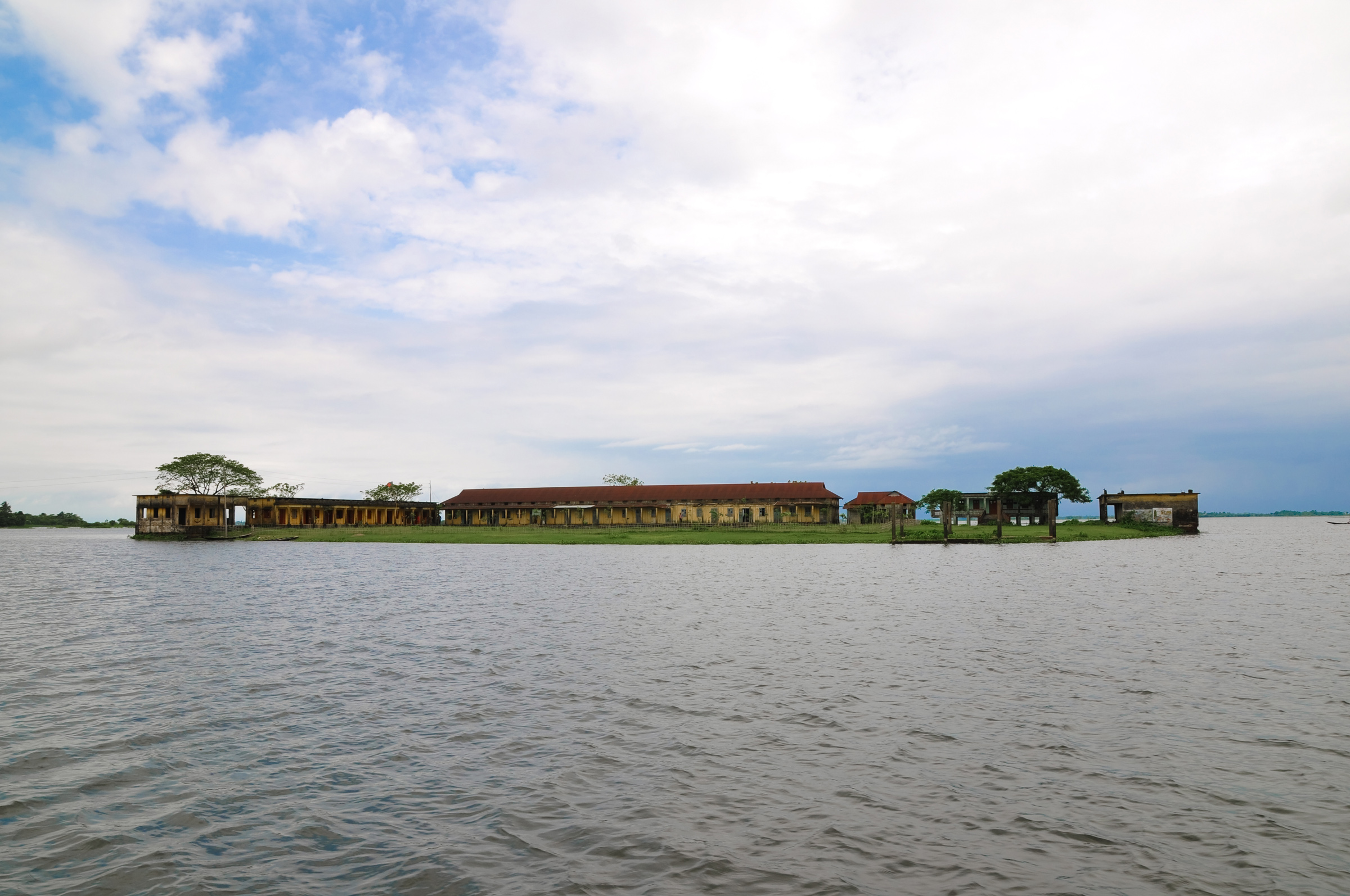
Photo: Sumon Mallick / Wikimedia Commons (CC BY-SA 4.0)
Sources: Jagonews24, Prothom Alo, Wikipedia (Surma River, Cherrapunji, Haor)

Comments
(0)