
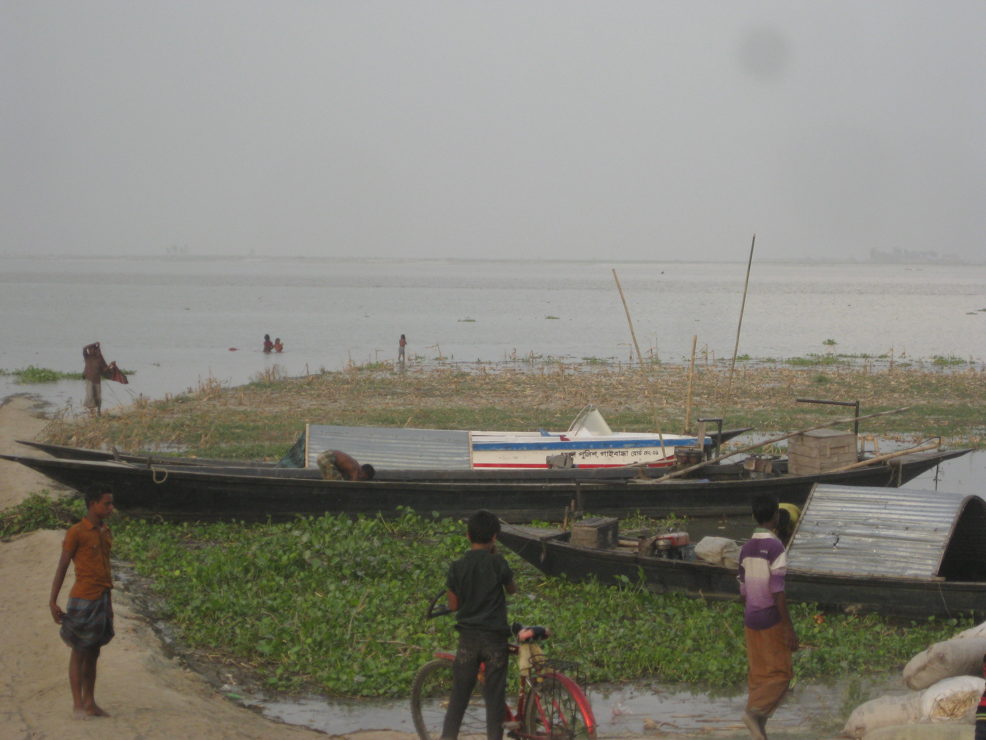
On Sunday, 21 June 2026, the Flood Forecasting and Warning Centre said in its weekly outlook on water levels that above-normal rainfall, including heavy rain, was likely over the next 10 days, from 21 to 30 June, in northern and north-eastern Bangladesh and the adjoining upstream areas. As a result, the outlook warned, short-term flooding could occur over the next seven days in low-lying areas along the Teesta, Dharla and Dudhkumar in the northern districts of Rangpur, Nilphamari, Lalmonirhat and Kurigram, and along the Surma and Kushiyara in Sylhet and Sunamganj in the north-east. Low-lying areas along the Bhugai-Kangsha and Someshwari rivers in Netrokona, Mymensingh and Sherpur could also be temporarily flooded in places, it said.
What the 10-day outlook said
The outlook said that, based on data from the Bangladesh Meteorological Department, the India Meteorological Department and global weather agencies, heavy rain was forecast from 21 to 28 June, or around that period, in Rangpur, Sylhet and Mymensingh divisions inside Bangladesh and in the adjoining upstream Indian states of West Bengal, Assam, Tripura and Meghalaya. These areas had received above-normal rain over the preceding seven days, the centre said.
Over the next 10 days, from 21 to 30 June, above-normal rainfall including heavy rain was likely in the north and north-east of Bangladesh and the adjoining upstream areas, the outlook said, with up to 350 to 400 millimetres in places. It was a conceptual, probabilistic weekly outlook on water levels, offering an overall picture of how river levels might behave over the coming days rather than a firm prediction.
The picture, basin by basin
In the northern basin, that is the Rangpur division, the outlook said the Teesta, Dharla and Dudhkumar had risen over the past 24 hours. Their levels could rise overall over the next seven days, rapidly at times, and the rivers could flow above the danger level in Nilphamari, Lalmonirhat, Kurigram and Rangpur, causing short-term flooding in low-lying riverside areas.
In the north-eastern basin, that is the Sylhet and Mymensingh divisions, the outlook said the Someshwari, Jinjiram and Bhugai had fallen over the past 24 hours, while the Sarigowain, Jadukata and Kangsha had risen. These rivers could rise overall over the next seven days, rapidly at times. The Bhugai-Kangsha and Someshwari could reach the warning level in Netrokona, Mymensingh and Sherpur, temporarily flooding some low-lying riverside areas.
In the eastern and south-eastern basin, that is the Chattogram division, the Muhuri and Halda had fallen over the past 24 hours, while the Feni, Halda, Sangu, Matamuhuri, Selonia and Gumti were steady. These rivers too could rise overall over the next seven days, rapidly at times. In short, the outlook pointed to rising trends across three river basins at once, in the north, the north-east and the south-east.
The centre's comment
Sardar Uday Raihan, executive engineer at the Flood Forecasting and Warning Centre, told Jago News that Mymensingh and Sylhet divisions had been receiving more rain over the previous two days. Heavy rain had also fallen in the adjoining upstream areas and in Meghalaya at the same time, with up to 500 millimetres recorded in some places. As a result, he said, short-term flooding could occur in the three divisions over the next 10 days.
Flash floods, or hill-water surges, could also occur, he added, but that would depend on how much rain fell, and the situation was being monitored. A flash flood is typically caused by heavy rain over a short time on the upstream hills; the water rushes down to inundate the downstream lowlands suddenly and then recedes comparatively quickly.
What the centre is, and what a danger level means
The Flood Forecasting and Warning Centre is a government agency under the Bangladesh Water Development Board, part of the Ministry of Water Resources. According to Wikipedia, it was established in 1972 and is headquartered in Dhaka. It operates 109 water-level monitoring stations and 61 forecasting stations across the country. Using the river-level data gathered from these stations, the centre issues flood forecasts and warnings, an important part of the government's machinery for dealing with floods.
Two terms used in the outlook, the danger level and the warning level, are worth explaining. At each river's gauging point a fixed water height is set as the danger level; when the water rises above it, the adjoining low-lying areas are at risk of flooding. The warning level usually sits a little below the danger level, and water approaching it signals a need for extra caution. That is why the northern Teesta, Dharla and Dudhkumar were described as possibly flowing above the danger level, while the north-eastern Bhugai-Kangsha and Someshwari were described as possibly reaching the warning level.
A conceptual or probabilistic outlook is not a firm announcement but a likely picture of where the situation may head over the coming days, drawn from the latest weather and upstream-water data. If rainfall changes, the picture can change too, which is why the centre spoke of monitoring the situation continuously.
The Teesta, Dharla and Dudhkumar: the northern rivers
The three rivers named in the northern part of the outlook, the Teesta, Dharla and Dudhkumar, are all transboundary rivers that eventually feed the Brahmaputra-Jamuna system. According to Wikipedia, the Teesta is a river of the eastern Himalayas; it is about 414 kilometres long, of which 305 kilometres are in India and 109 kilometres in Bangladesh, and it drains about 12,540 square kilometres. Flowing through Sikkim and West Bengal, it enters Bangladesh in Rangpur division and crosses Lalmonirhat, Rangpur, Kurigram and Gaibandha before joining the Jamuna near Phulchhari upazila.
The Teesta Barrage, built on the river in Lalmonirhat, is one of the country's largest irrigation projects; its construction began in 1979 and was completed in 1997-98. During the monsoon the Teesta swells rapidly and has repeatedly caused severe flooding in Bangladesh. Events upstream matter downstream too: according to Wikipedia, in October 2023 a glacial lake outburst flood in Sikkim destroyed a hydropower dam on the upper Teesta.
The Dharla also rises in the Himalayas; it flows through Sikkim, Bhutan and West Bengal, enters Bangladesh at Lalmonirhat and joins the Jamuna near Kurigram. A tributary of the Brahmaputra, it, like the Teesta, drives major flooding in the north during the June-to-September monsoon. According to Wikipedia, in 2007 erosion by the Dharla and Jamuna in Lalmonirhat washed away about two kilometres of a flood-control embankment, along with several places of worship, a madrasa, a primary school and farmland, leaving about 3,000 people homeless. In the dry season these rivers shrink and expose chars, but in the monsoon the same channels fill rapidly.
Kurigram is one of the most river-crossed districts in the country. According to Banglapedia, the district covers about 2,245 square kilometres and had a population of about 2.07 million in the 2011 census. The Brahmaputra, known as the Jamuna inside Bangladesh, along with the Teesta, Dharla and Dudhkumar, all flow through it. Agriculture is the main source of income, accounting for about 70.4 per cent of household earnings. With so many large rivers and countless chars, Kurigram's low-lying land is among the first to flood in the monsoon, so any forecast of rising northern rivers carries direct weight for the district's farmers and char dwellers.
The Surma-Kushiyara and the land of haors
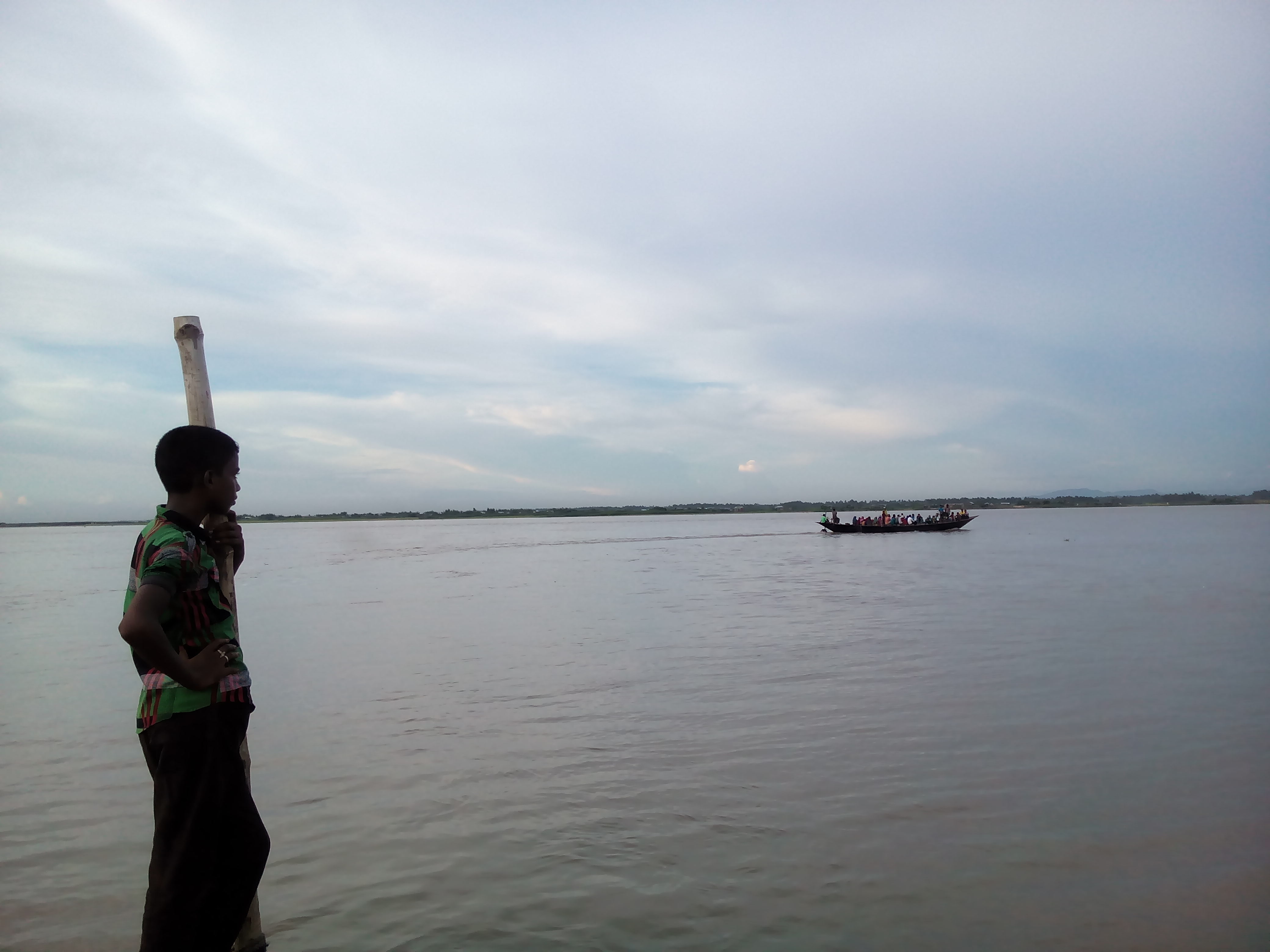
In the north-east, the Surma and Kushiyara named in the outlook are both part of the Meghna river system. According to Wikipedia, the river is known as the Barak in India; rising in the hills of Manipur, it splits at the Bangladesh border into the northern Surma and the southern Kushiyara as it enters the Sylhet depression. The Surma is about 249 kilometres long and flows through Sylhet, Sunamganj and Kishoreganj; tributaries from the Meghalaya hills feed it, and above Bhairab Bazar in Kishoreganj the Surma and Kushiyara rejoin to form the Meghna.
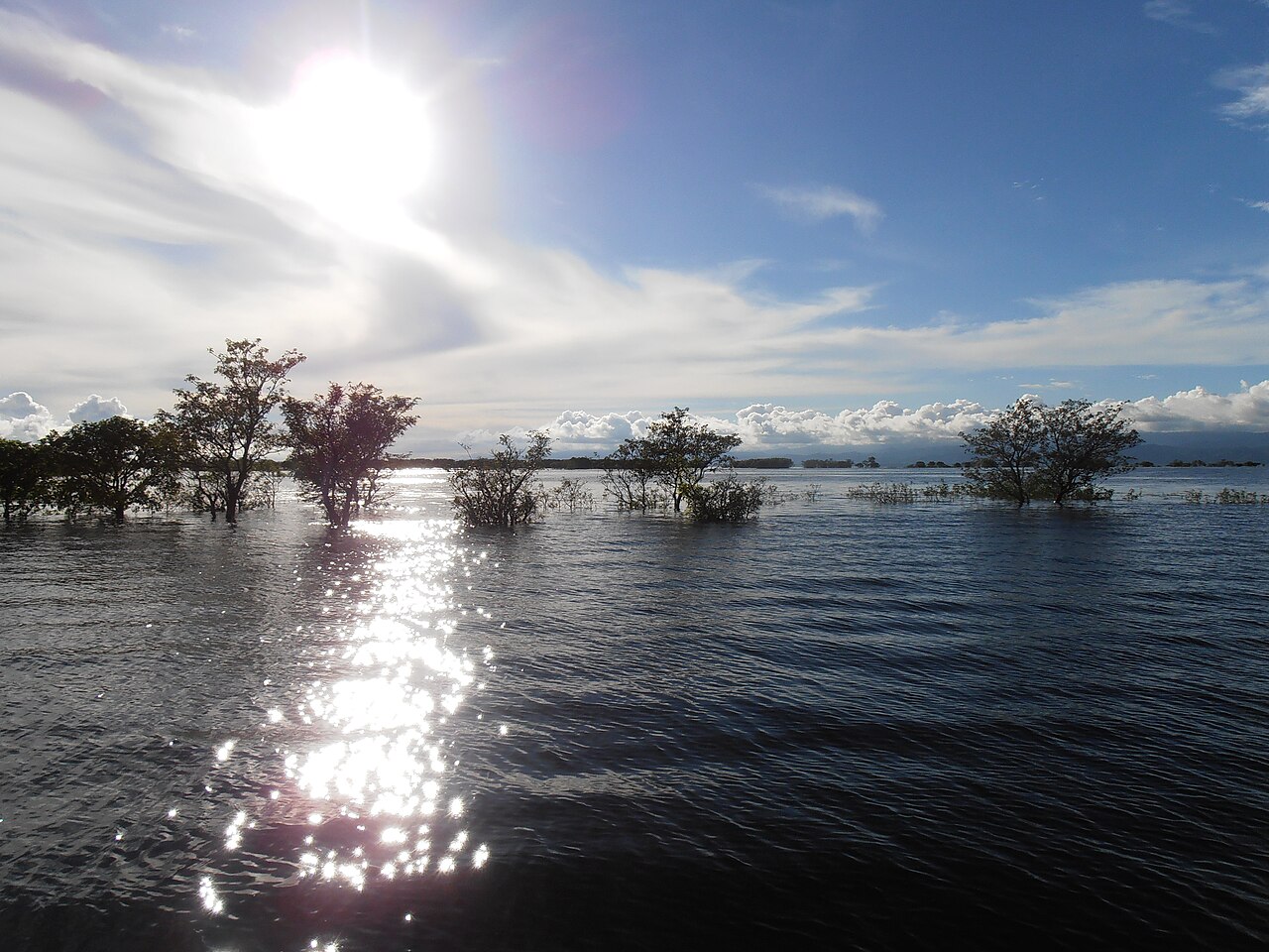
This is, above all, a land of haors. According to Banglapedia, a haor is a large, bowl-shaped depression in north-east Bangladesh where river and channel water collects. Across greater Sylhet and greater Mymensingh there are about 47 major haors and some 6,300 beels, of which about 3,500 are permanent and 2,800 seasonal. In the monsoon, water pouring down from the Indian hills floods the haor country to depths of up to about six metres, and the area stays under water for seven to eight months, the villages appearing as small islands on an inland sea.
The low-lying haor land chiefly grows a single crop, boro paddy, cultivated on the exposed alluvial soil once the monsoon water recedes. For that reason an early-season surge or a rapid rise in water is a serious worry for haor farmers. According to Banglapedia, high winds from July to September can whip up large waves on the haors that damage homesteads along the banks, while the spread of boro cultivation onto marginal rim-land has drained and shrunk many of the wetlands.
Sunamganj sits at the heart of this haor country. According to Banglapedia, the district covers about 3,526 square kilometres and had a population of about 2.38 million in the 2011 census. Its northern boundary is India's Meghalaya state; its main rivers are the Surma, Kushiyara, Dhamalia and Jadukata, and agriculture provides about 66.99 per cent of household income. In a district this dependent on farming and dotted with so many haors, any early warning of rising rivers at the start of the monsoon carries direct weight for a great many farmers.
Meghalaya's rain and flash floods
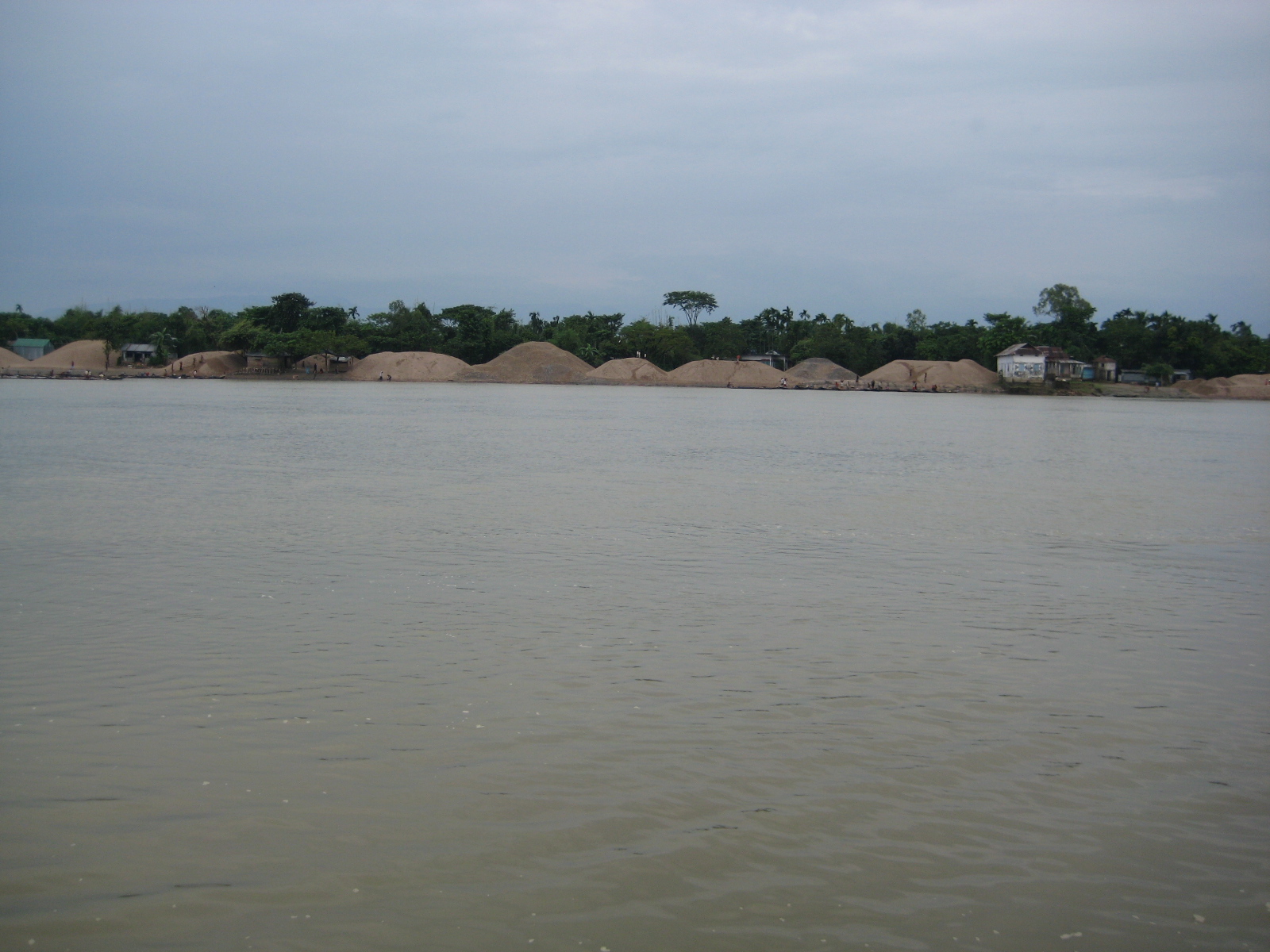
To understand the flood risk in the north-east, one cannot leave out the rain on Meghalaya upstream. Just across the border, Cherrapunji and Mawsynram in Meghalaya's Khasi Hills are among the wettest places on Earth. According to Wikipedia, Cherrapunji averages about 11,777 millimetres of rain a year and Mawsynram about 11,873 millimetres. Between August 1860 and July 1861, Cherrapunji recorded about 26,461 millimetres, and about 9,300 millimetres fell in July 1861 alone, still the world record for a single month.
The cause is orographic. Monsoon winds from the Bay of Bengal carry moisture across about 400 kilometres of the Bangladesh plains before striking the Khasi Hills. Because the hills rise to about 1,370 metres within just a few kilometres, the moisture-laden clouds are forced abruptly upward, cool and release heavy rain. This hill rain then races down the steep slopes and pours into the lowlands of Sylhet, Sunamganj, Netrokona, Mymensingh and Sherpur through rivers such as the Someshwari, Jadukata, Bhugai and Kangsha.
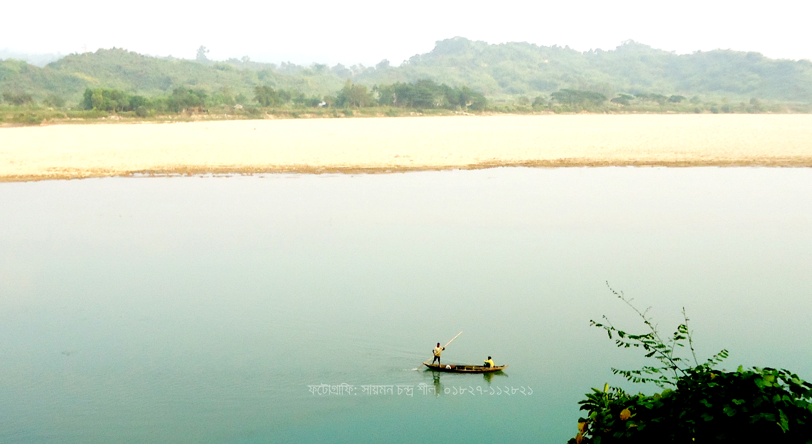
According to Banglapedia, it is in exactly this way that the hill catchments of the north-east and south-east see unpredictable flash floods, which rise and fall suddenly. That is why the 21 June outlook specifically noted heavy rain over Meghalaya and the risk of hill-water surges. The Someshwari too rises in Meghalaya; according to Wikipedia, it originates in the Nokrek range, where it is known as the Simsang, then flows through Susang-Durgapur into Netrokona to meet the Kangsha, and is the longest and largest river of the Garo Hills region.
Types and causes of flooding in Bangladesh
According to Banglapedia, Bangladesh sees three main kinds of flood. Monsoon floods rise and fall slowly and cover large areas; flash floods, or hill-water surges, rise and fall suddenly and occur mainly in hill valleys; and tidal floods are short-lived, typically three to six metres high, and block inland drainage. The 21 June outlook brought together both a monsoon-type short-term flood risk in the northern basin and a flash-flood risk in the north-east.
Many factors drive floods. According to Banglapedia, the country's low topography, congested river network, rainfall and snowmelt upstream and in the Himalayas, siltation of riverbeds, the synchronised peaking of several rivers at once, backwater effects from tides and wind, and the narrowing of channels by barrages and embankments all make flooding worse. The character of flooding also differs by region: the north sees large but relatively shallow floods, while the Sylhet depression at the centre of the Meghna basin fills early in the monsoon and drains only slowly.
The monsoon and Bangladesh's floods
Flooding in Bangladesh is largely a monsoon phenomenon. According to Banglapedia, the three main river systems, the Ganges, the Brahmaputra-Jamuna and the Meghna, carry about 95 per cent of the annual inflow into the country between May and October. Over the same months, rainfall inside the country alone generates about 187,000 million cubic metres of water. On average about 26,000 square kilometres, roughly 18 per cent of the country, is flooded each year; in severe floods more than 55 per cent can be affected. By these estimates, a severe flood strikes roughly once every seven years.
History offers no shortage of great floods. According to Banglapedia, the 1966 flood hit Dhaka and Sylhet badly and affected about 1.2 million people, and in 1974 about 10,360 square kilometres of Mymensingh was inundated, both of them events in the north-east named in this very outlook. Among the biggest nationwide floods, about 57,300 square kilometres, roughly 40 per cent of the country, was inundated in 1987; about 82,000 square kilometres, some 60 per cent, went under in 1988, when the capital Dhaka was severely hit; and in 1998 more than two-thirds of the country stayed under water for over two months, described as the worst flood on record. In 1954 the Jamuna and the Ganges rose to unusual heights. In this delta, in other words, rising monsoon water is nothing new but a regular, yearly reality.
That is precisely why the Flood Forecasting and Warning Centre's weekly outlook matters so much at the start of the monsoon. Knowing in advance which region may see rising water lets farmers harvest ripe or half-ripe crops early, move livestock to higher ground, and gives local administrations time to ready shelters and relief. The 21 June outlook was part of that early warning, telling the people of the low-lying riverside areas of the north and north-east to stay alert to the possible rise in water over the coming days.
Photo: Ibrahim Husain Meraj / Wikimedia Commons (CC BY-SA 3.0)
Sources: Jagonews24; Flood Forecasting and Warning Centre; Bangladesh Water Development Board; Banglapedia; Wikipedia

Comments
(0)