
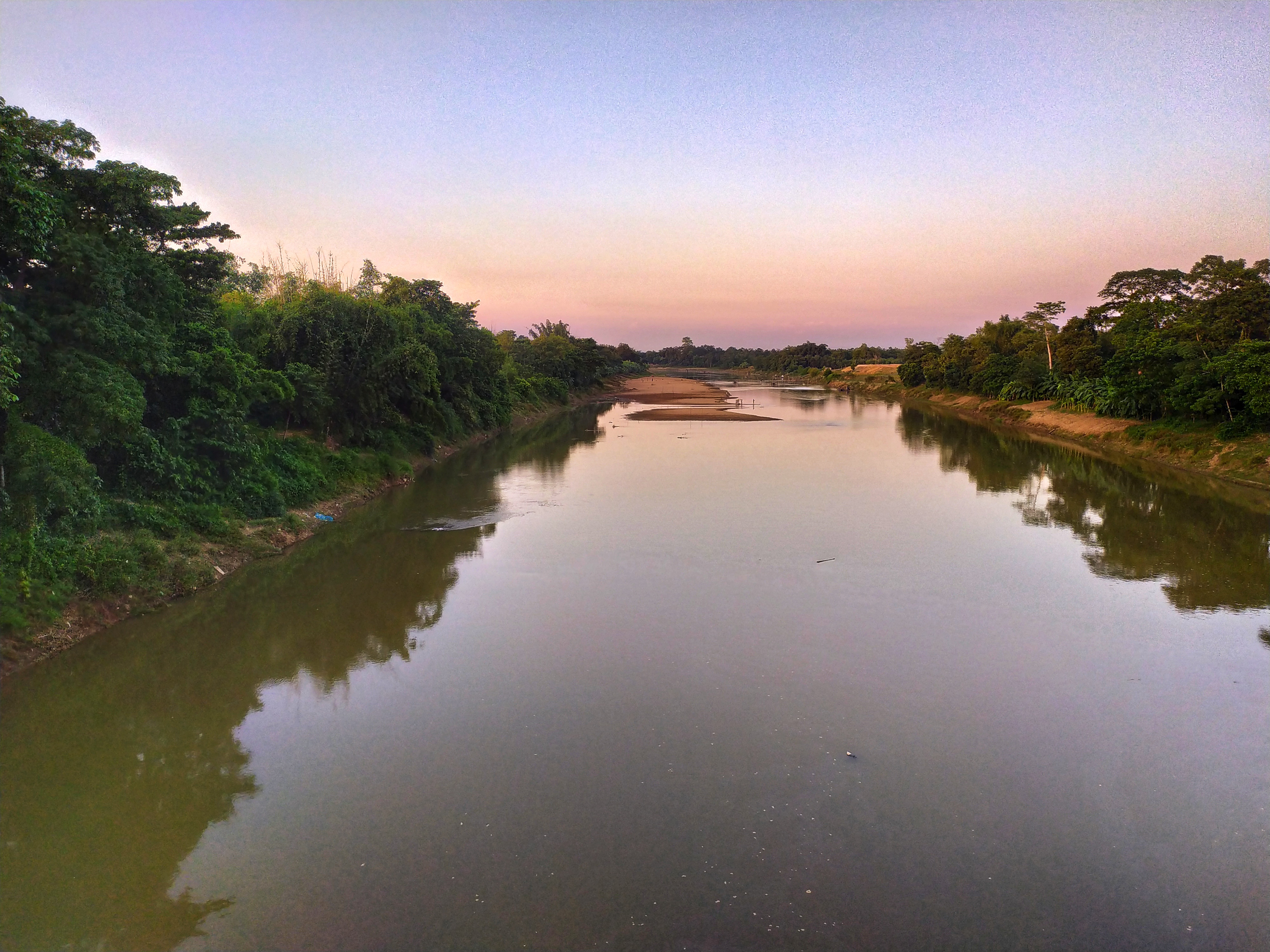
On Wednesday 15 July 2026 the Flood Forecasting and Warning Centre (FFWC) of the Bangladesh Water Development Board (BWDB) said riverside low-lying areas along the Manu and Khowai rivers in Moulvibazar and Habiganj districts could be temporarily flooded over the following 24 hours. That day rivers were flowing above danger level at three stations: the Teesta at Tarapur in Gaibandha, the Kushiyara at Fenchuganj in Sylhet and the Someshwari at Kalmakanda in Netrokona. The centre also forecast an improving flood situation in Sylhet, Sunamganj, Netrokona and Gaibandha.
The FFWC is the government agency, set up in 1972 under the Bangladesh Water Development Board, that monitors river levels and issues flood forecasts and warnings for Bangladesh.
The Manu and Khowai were rising
Md Mahmudul Islam Shovon, the centre's assistant engineer (officer in charge), said in a press release that day that the Manu, Khowai and Dhalai rivers in Sylhet Division had risen over the previous 24 hours and could rise quickly for another day. As a result, the Manu in Moulvibazar and the Khowai in Habiganj could reach warning level within 24 hours, and riverside lowlands in the two districts could be temporarily flooded.
Both rivers come down from the hills of Tripura across the Indian border. According to Banglapedia, the Manu enters Bangladesh through Kulaura upazila of Moulvibazar and joins the Kushiyara at Manumukh, while the Khowai enters at Balla in Habiganj and flows past the eastern side of Habiganj town.
The Khowai had already caused damage in Habiganj days earlier. Bangla Tribune reported on 10 July that after continuous heavy rain and hill runoff from upstream, a flood protection embankment on the Khowai broke at about 8:30 pm on 9 July at Kaliganj in Laskarpur union of Habiganj Sadar upazila, flooding at least 20 villages. Local residents alleged that years of illegal sand extraction had weakened the embankment. Moinul Haq, the district's additional deputy commissioner (general), said 83 flood shelters had been kept ready across the district's nine upazilas.
Three rivers above danger level
On 15 July the water stood above danger level at Tarapur, Fenchuganj and Kalmakanda. The Kushiyara is one of two branches of India's Barak river: Banglapedia records that the Barak splits at Amalshid in Zakiganj upazila of Sylhet, its north-western arm becoming the Surma and its south-western arm the Kushiyara, which flows on through Fenchuganj, Balaganj and other upazilas.
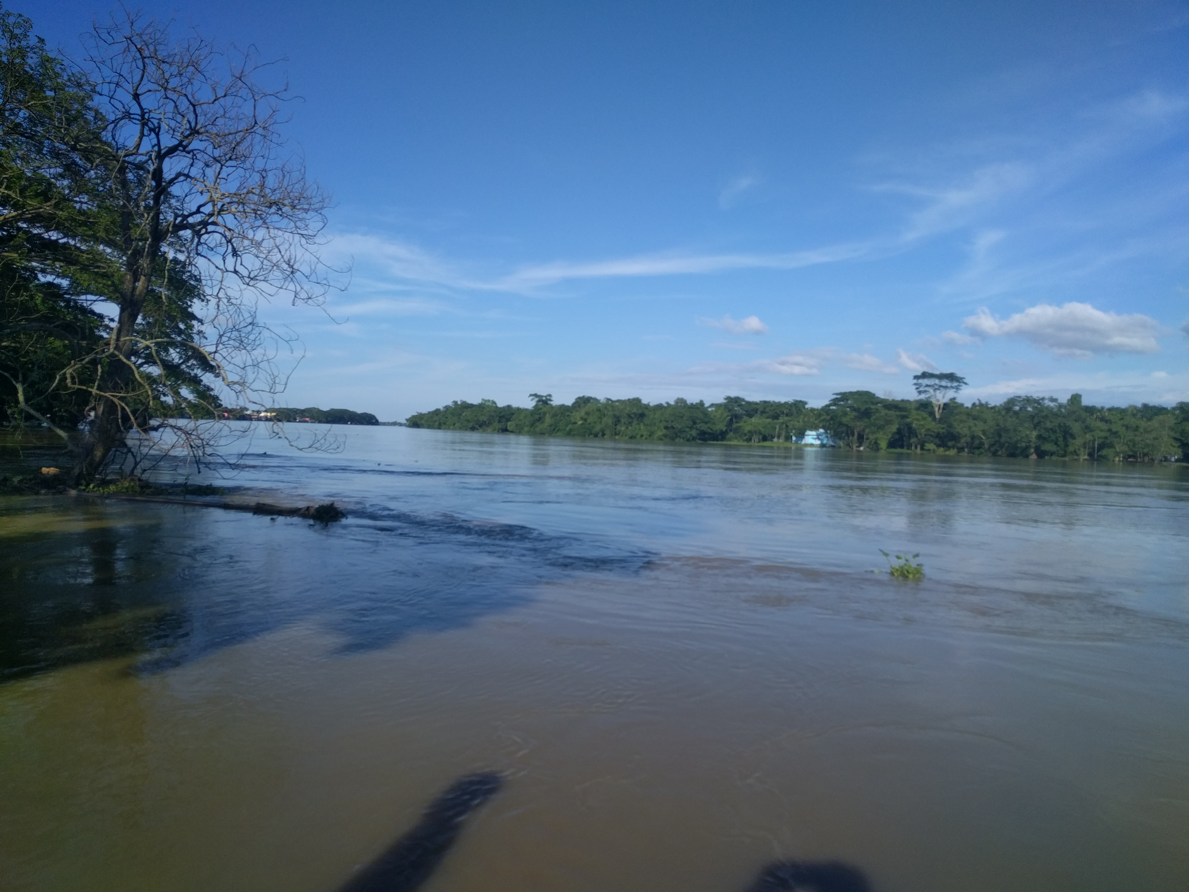
Improvement expected in Sylhet, Sunamganj, Netrokona and Gaibandha
According to the FFWC, the Surma and Kushiyara in the north-east had fallen over the previous 24 hours and could keep falling for three days, so the flood situation in riverside lowlands of Sylhet and Sunamganj could improve within 24 hours.
The Sarigowain, Jadukata, Someshwari and Bhugai-Kangsha rivers in Sylhet and Mymensingh divisions were also falling and could fall further over three days, which pointed to an improvement along the Someshwari in Netrokona within 48 hours.
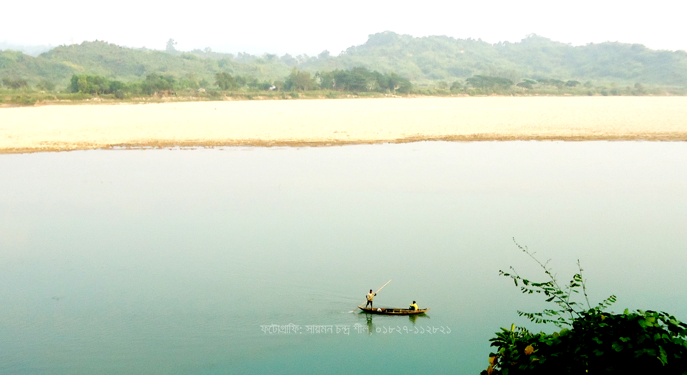
In Rangpur Division the Teesta, Dharla and Dudhkumar had risen over the previous 24 hours but were expected to hold steady for a day and then fall for two days, so the flood situation along the Teesta in Gaibandha could improve. bdnews24.com also reported that a low pressure area had formed over the north-west Bay of Bengal and the adjoining north Odisha and West Bengal coast, and could move west-north-west over the next two days.
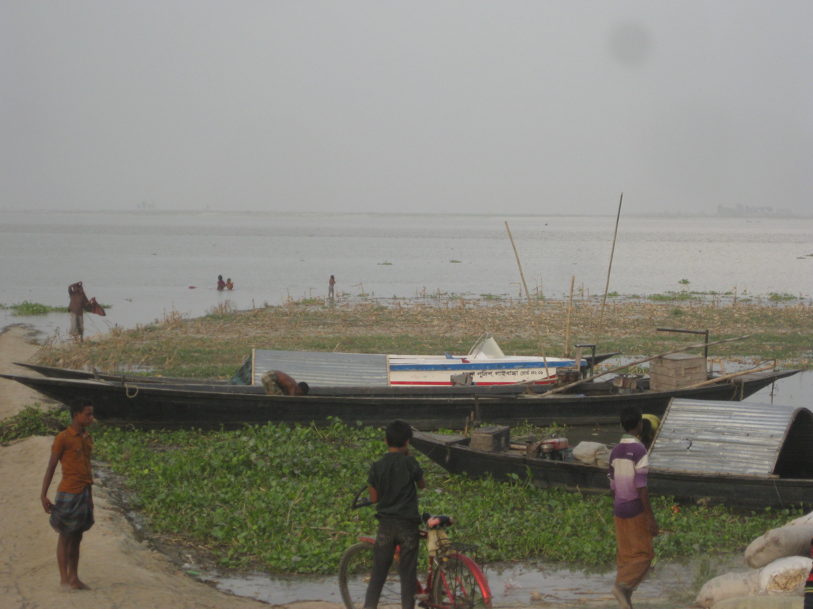
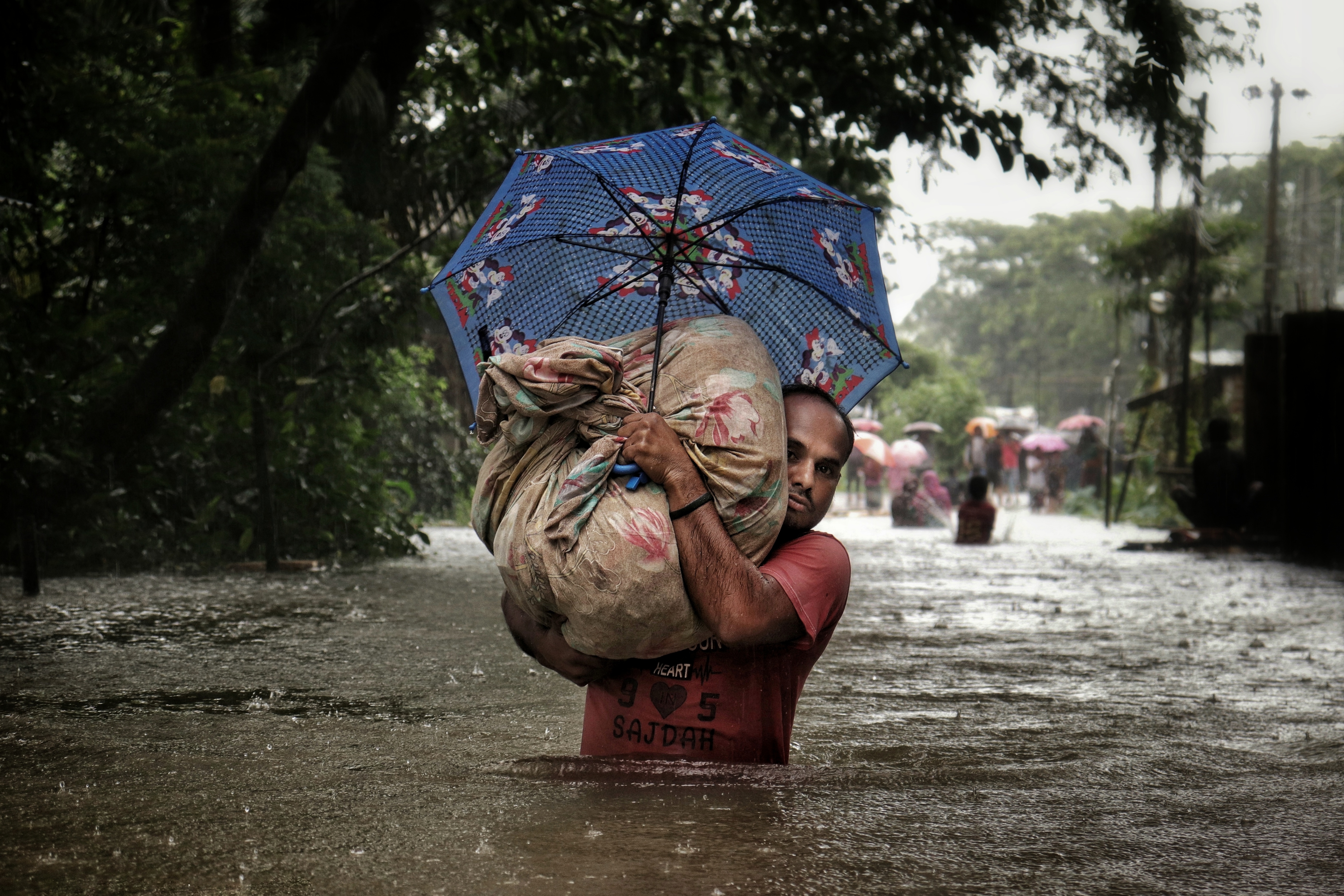
Photo: Rocky Masum / Wikimedia Commons (CC BY-SA 4.0)
Sources: Jagonews24 (15 July 2026), bdnews24.com (15 July 2026), Bangla Tribune (10 July 2026), Banglapedia (Manu, Khowai and Kushiyara rivers), Wikipedia (Flood Forecasting and Warning Centre)

Comments
(0)