
The Flood Forecasting and Warning Centre (FFWC) of the Bangladesh Water Development Board (BWDB) warned on Monday, 13 July 2026, that short-term flooding could develop, or the existing flood situation could worsen somewhat, in places in the low-lying riverside areas of nine districts in the north-east and north of the country within the next 24 to 48 hours. The districts named in its regular bulletin were Sylhet, Sunamganj, Netrokona, Sherpur and Mymensingh in the north-east, and Nilphamari, Lalmonirhat, Rangpur and Kurigram in the north. In the same bulletin the centre said the flood situation in the south-eastern hill region, where floods and landslides had struck Bandarban, Chattogram and Cox's Bazar during the previous week, was expected to keep improving.
The warning came while the north-east and the south-east were still counting the cost of a week of heavy monsoon rain. It was a forecast, not a report of new flooding: the centre spoke of what might happen in the following one to two days if the rivers kept rising as its readings and the rainfall outlook suggested.
Four stations above the danger level on the morning of 13 July
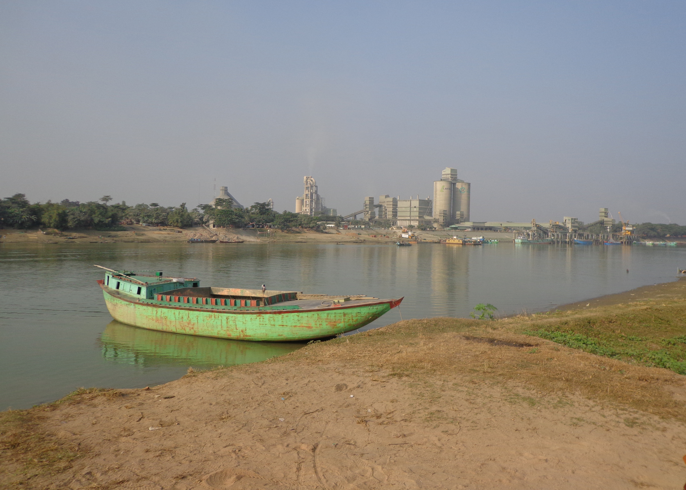
According to the bulletin, as reported by bdnews24.com and carried by The Financial Express, water was flowing above the danger level at four gauge stations at 9am on 13 July. Jagonews24, which first published this story, described them as four stations on four rivers; the stations it listed, like those in the bdnews24.com account of the same bulletin, belong to three rivers, the Surma, the Kushiyara and the Someshwari, in three districts. The readings were:
- the Surma at Chhatak in Sunamganj district, 15 centimetres above the danger level;
- the Kushiyara at Fenchuganj in Sylhet district, 27 centimetres above the danger level;
- the Kushiyara at Markuli in Sunamganj district, 1 centimetre above the danger level;
- the Someshwari at Kalmakanda in Netrokona district, 8 centimetres above the danger level.
Over the previous 24 hours, the centre said, the Sangu had fallen below the danger level at its Bandarban and Dohazari stations, while the Surma had risen above it at Chhatak. Of the 127 gauge stations the FFWC was monitoring that morning, the water level had risen at 80 and fallen at 44.
The centre said the Surma and the Kushiyara had risen in the 24 hours to 9am on Monday and might rise further over the next two days before stabilising on the third day. As a result, the flood situation in the low-lying areas next to these rivers in Sylhet and Sunamganj districts might deteriorate somewhat over the next two days. The Jadukata and the Bhugai-Kangsha in the Sylhet and Mymensingh divisions had also risen in the past 24 hours, the Someshwari had stayed stable and the Sarigowain had fallen.
For the next 24 to 48 hours the forecast said the Sarigowain, Jadukata, Someshwari and Bhugai-Kangsha rivers in Sylhet, Sunamganj, Netrokona, Sherpur and Mymensingh districts might rise. Water could then flow above the danger level in some places, and short-term flooding could develop in the low-lying areas beside these rivers.
Quoting the Bangladesh Meteorological Department (BMD), the FFWC said heavy to very heavy rain had been forecast over the next 24 hours in the Sylhet, Mymensingh and Rangpur divisions of Bangladesh and in the upstream Indian states of Assam, Meghalaya and West Bengal.
Teesta, Dharla and Dudhkumar in the north
In the north, the bulletin said the Teesta had swelled over the previous 24 hours while the Dharla and the Dudhkumar had stayed stable. Over the next 24 to 48 hours the Teesta and the Dudhkumar in Nilphamari, Lalmonirhat, Rangpur and Kurigram districts might rise and flow above the danger level at some locations, causing short-term flooding in the low-lying areas beside them. The Teesta in Gaibandha district and the Dharla in Kurigram might also cross the danger level in that period, with temporary flooding in adjacent low-lying land.
The centre also reported that the Tangon, Punarbhaba, Ghagot, Atrai, Upper Atrai, Mahananda, Jamuneshwari and Karatoa rivers in the Rangpur and Rajshahi divisions had risen, while the Upper Karatoya had receded. The water levels in these rivers might continue to rise for the next three days.
The Teesta rises in Chitamu Lake in the Sikkim Himalayas at an altitude of about 7,200 metres, according to Banglapedia, the national encyclopedia of Bangladesh. It comes down to the plains of Darjeeling and the Duars of West Bengal and enters Bangladesh at the Kharibari border of Nilphamari district. It then passes through Lalmonirhat, Rangpur, Kurigram and Gaibandha and falls into the Jamuna south of Chilmari river port. Of its total length of about 315 kilometres, nearly 115 kilometres lie in Bangladesh, and its mean monthly discharge is about 2,430 cubic metres per second. The river's present course dates from the great flood of 1787, which choked its old channel and turned it towards the Ghaghat; the Bengali name Tista is said to come from Tri-Srota, three flows.
The Dharla, also named in the warning for Kurigram, enters Bangladesh at Lalmonirhat through Changrabandha in Patgram, where its upper course is known as the Jaldhaka, flows back into India and enters Bangladesh a second time through Kurigram. It is a tributary of the Brahmaputra, which it joins a few kilometres south-east of Kurigram town, and Kurigram town stands on its right bank. Banglapedia describes it as swift, wide and turbulent in the rainy season and given to erosion; in 1947 it washed away the old site of Kurigram town. About 75 kilometres of the river lie in Bangladesh. The Dudhkumar is the Raidak or Sankosh of West Bengal, renamed after it enters Bangladesh near Pateshwari; it follows a 52-kilometre meandering course and joins the Brahmaputra in Kurigram Sadar upazila, and it often overflows.
A BSS report of 3 July 2026 had already noted that the Teesta at Dalia in Nilphamari and Tarapur in Lalmonirhat, the Kushiyara at Fenchuganj and Markuli and the Someshwari at Kalmakanda were then at their warning levels, a step below the danger level. Ten days later several of those stations had crossed it.
The hill districts: improvement expected
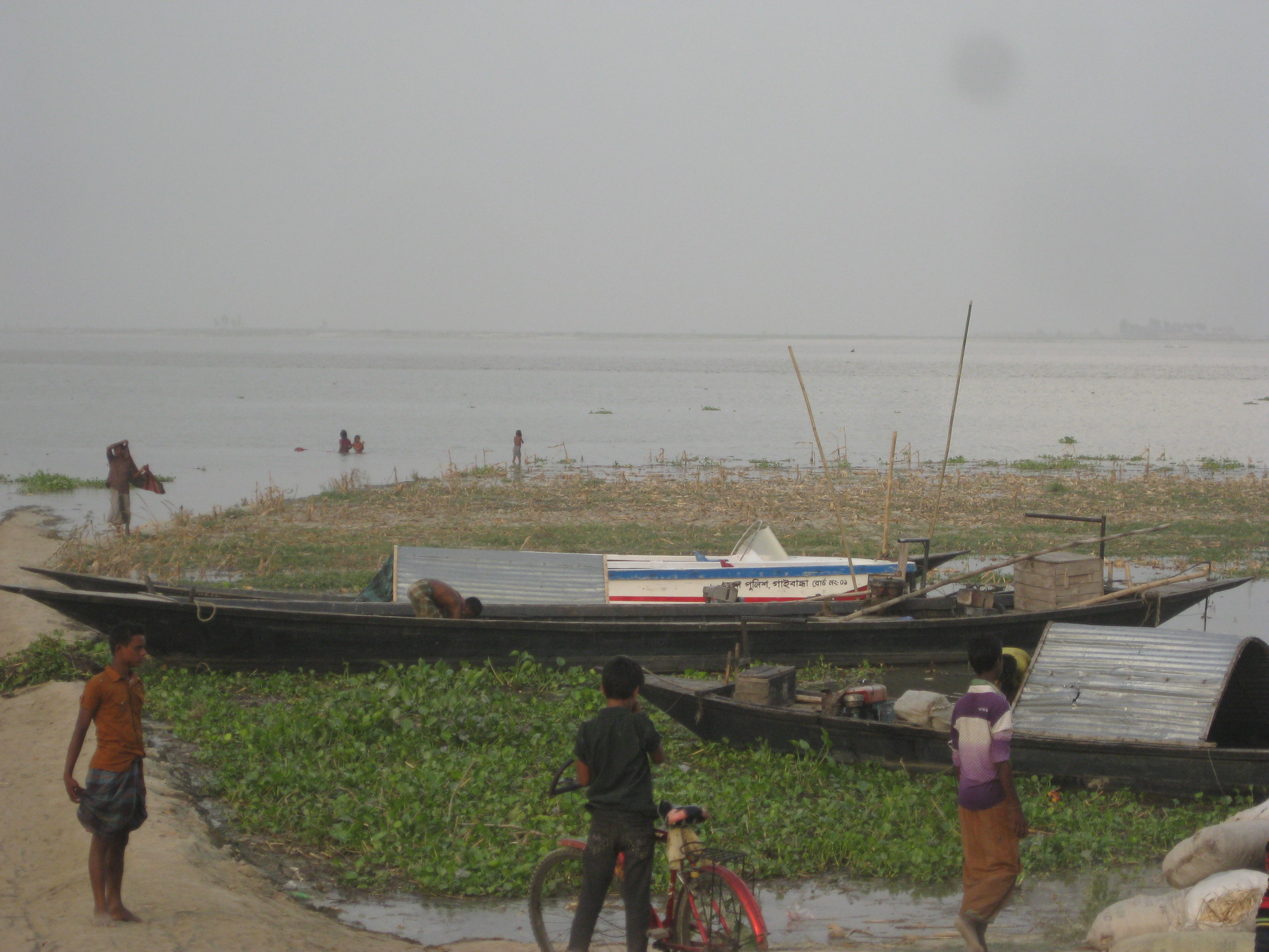
For the south-east the bulletin was more hopeful. The water levels of the Sangu, the Matamuhuri and other rivers in Bandarban, Chattogram and Cox's Bazar districts might fall, and the flooding in the low-lying areas beside them might continue to improve over the next 24 hours, the centre said.
A Dhaka Tribune report from Bandarban published on 13 July described what that improvement looked like on the ground. As the Sangu and the Matamuhuri receded, people were leaving emergency shelters and going home, where many found their houses covered in mud and debris. During the floods a total of 6,250 people had taken shelter in centres opened by the district administration. According to the district administration, six people in Bandarban had died in rain-related incidents, five in landslides and one swept away by floodwater. Many areas still faced shortages of safe drinking water, which raised concern about waterborne disease, particularly among children and older people. The executive engineer of the Local Government Engineering Department in Bandarban estimated the damage to LGED roads and culverts at Tk 4 crore, and the army, Border Guard Bangladesh, the fire service, volunteers and residents were helping with clean-up and rehabilitation.
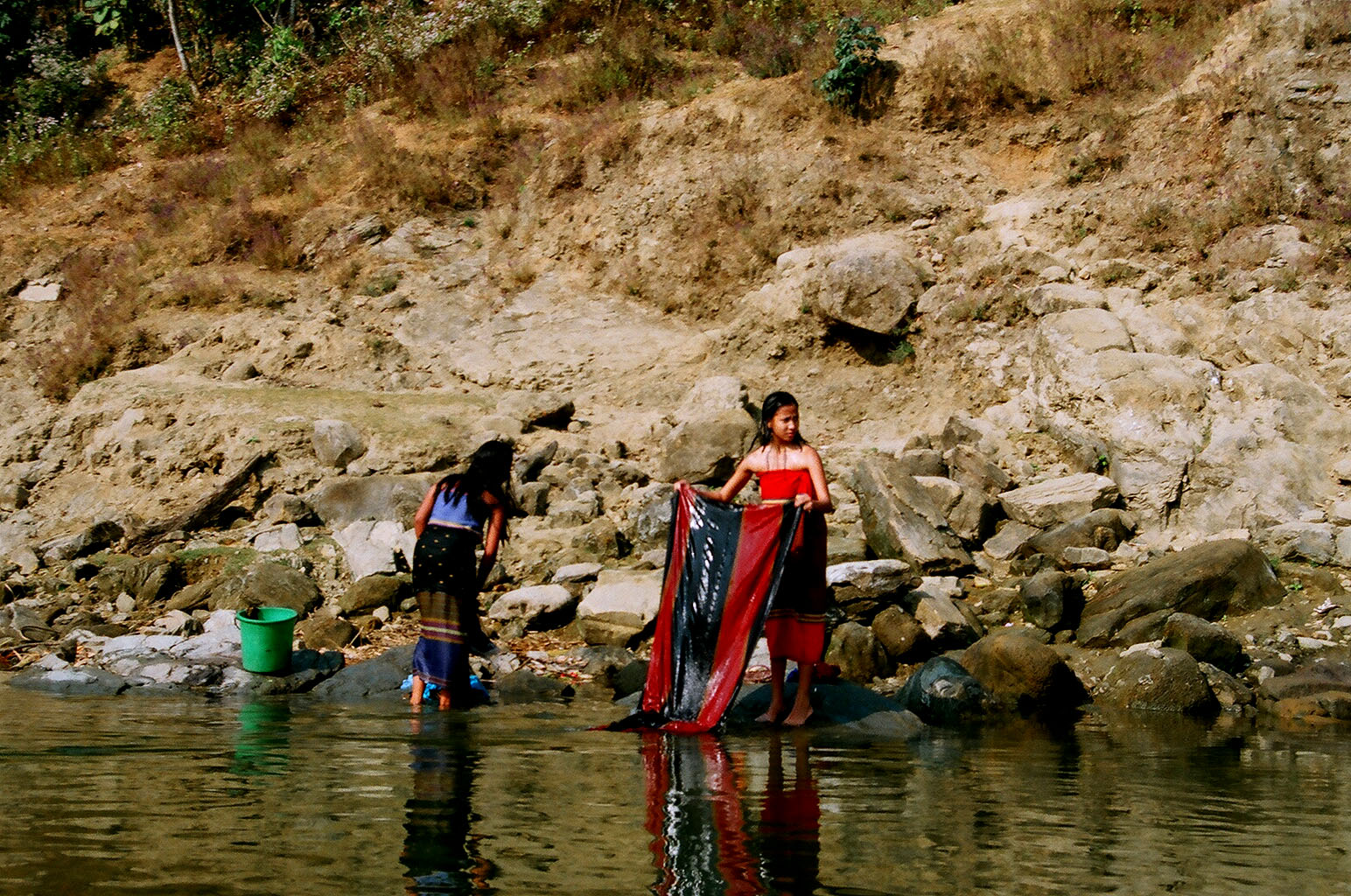
Both rivers rise in the hills that divide Arakan in Myanmar from the Chittagong Hill Tracts. The Sangu, Banglapedia says, follows a winding northward course through the Hill Tracts to Bandarban, then turns west and falls into the Bay of Bengal about 16 kilometres south of the mouth of the Karnaphuli, after a course of 270 kilometres, 173 of them in Bangladesh. It drains the Patiya, Satkania and Banshkhali upazilas; a shallow river in the dry months, it becomes violent with rapid currents during the rains. The Matamuhuri, whose name is the Bengali form of the name Mamuri, rises close to the source of the Sangu, flows north-west through the Hill Tracts, enters Cox's Bazar district from the east and falls into the Bay of Bengal through a broad delta after a course of about 287 kilometres; the principal upazila on its banks is Chakaria.
A week of floods and landslides before the warning
The bulletin of 13 July followed several days in which rivers in both regions had run high. A bdnews24.com report of 11 July, carried by The Financial Express, said that at 6pm on Saturday, 11 July, water was above the danger level at seven monitoring stations on five rivers in six districts. The Sangu was flowing 190 centimetres above the danger level at Bandarban, a situation officials described as critical, and 38 centimetres above it at Dohazari in Chattogram. The Matamuhuri at Lama in Bandarban was 18 centimetres above the danger level. In the north-east the Kushiyara stood 25 centimetres above the danger level at Fenchuganj and 15 centimetres above it at Markuli, and the Manu in Moulvibazar was 5 centimetres above. The Someshwari had crossed the danger level at Kalmakanda in the three hours to 6pm, bringing fresh flooding to Netrokona, while the Khowai at Balla in Habiganj had fallen below it earlier that day.
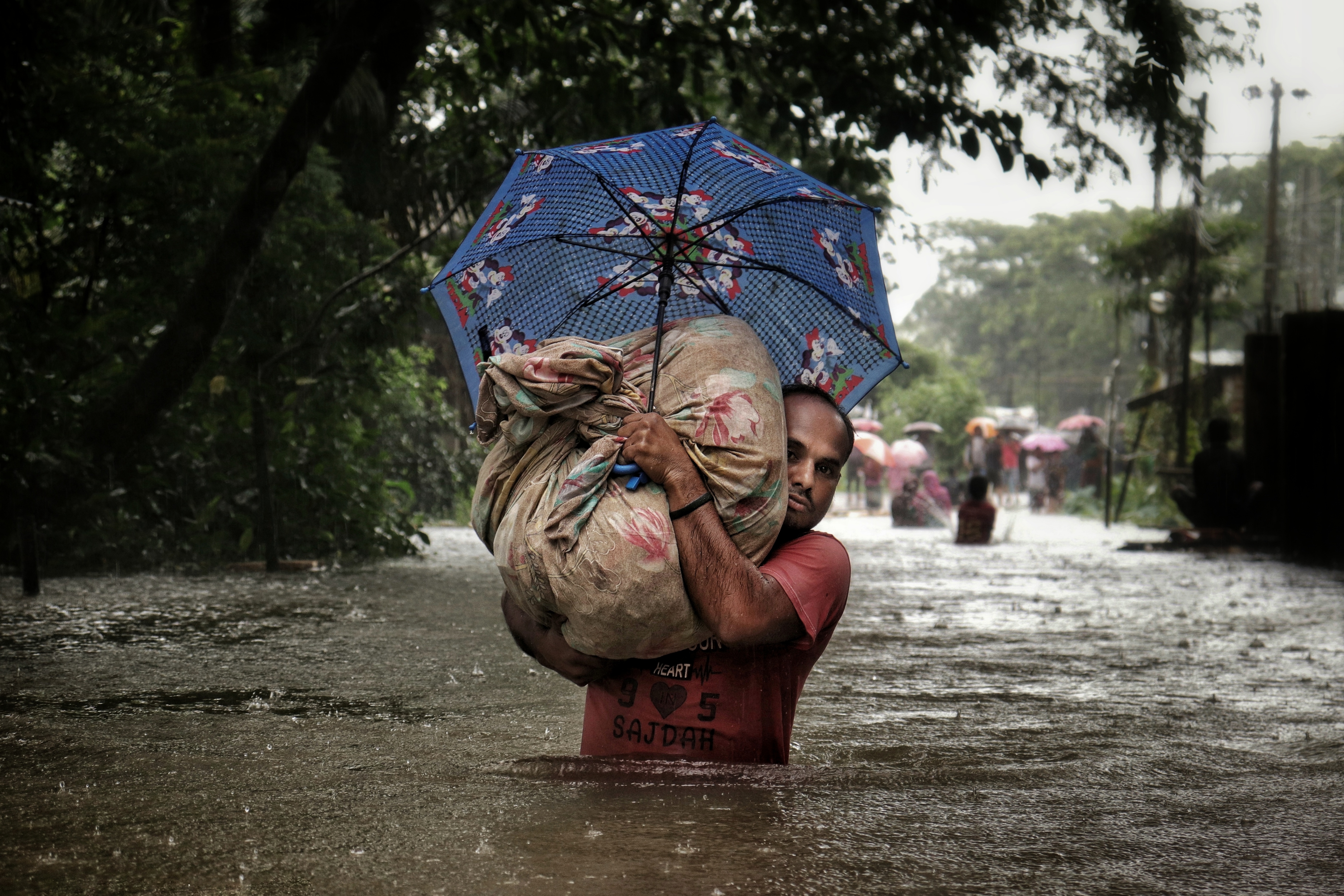
The human toll was set out in the situation report of the Ministry of Disaster Management and Relief as of 12:30pm on Sunday, 12 July, as reported by the Dhaka Tribune. Heavy rain, flash floods from upstream hills, waterlogging and landslides had affected 10,22,963 people in 386 unions and 11 municipalities of 58 upazilas in seven districts: Khagrachhari, Rangamati, Bandarban, Cox's Bazar, Chattogram, Moulvibazar and Habiganj. In all, 2,67,918 families were stranded by floodwater, 51 people had died and 39 had been injured.
- Cox's Bazar recorded the most deaths, 28, of whom 15 were local residents and 13 Rohingyas; one person was missing there.
- Chattogram recorded 13 deaths, Bandarban six, Rangamati three and Moulvibazar one; Khagrachhari reported one injury and Habiganj no casualties.
- About 5,95,000 people were affected in Chattogram and 1,58,027 in Cox's Bazar.
- The authorities had opened 1,131 shelters in the seven districts, where 44,457 people were staying.
- Between 7 and 12 July the ministry allocated Tk 1.75 crore in cash and 3,250 tonnes of rice to the seven districts.
Crops under water in Chattogram division
Farmland had taken much of the damage. According to preliminary estimates of the Department of Agricultural Extension (DAE), reported by the Dhaka Tribune on 12 July, the rain, flash floods and hill runoff had affected Aus rice on 12,743.1 hectares out of the 54,489.5 hectares planted in Chattogram, Cox's Bazar, Rangamati, Khagrachhari and Bandarban districts. Chattogram district suffered most, with 9,043.5 of its 30,022.5 hectares of Aus damaged, followed by Cox's Bazar, with 2,620 of 3,450 hectares.
The floods also hit the seedbeds raised for the Aman crop: 1,812.16 of the 5,066.67 hectares of Aman seedbeds in the five districts were damaged. Summer vegetables were affected on at least 2,594.17 of 31,664.65 hectares, betel leaf on 156 of 3,065 hectares in Cox's Bazar, and turmeric on 651.1 of 3,971 hectares in the three hill districts. In Cox's Bazar alone the DAE counted 20,960 farmers with damaged Aus, 5,640 with damaged Aman seedbeds, 14,325 vegetable growers and 3,120 betel leaf growers among those who had lost crops.
The outlook for July and August
At the start of the month the FFWC had already said that the country might see flooding in the Brahmaputra and Meghna basins in July and August 2026 because of heavy rain in their upper catchments. "Bangladesh remains vulnerable to flooding in July and August due to climatic reasons. During this period, heavy rainfall occurs in major river basins and upstream areas, triggering flood situations in the country," the centre's executive engineer told the state news agency BSS on 3 July. He said the FFWC could then issue flood forecasts for inland river basins 10 to 15 days in advance, and for coastal rivers three days ahead, and that a low-pressure system might form over the Bay of Bengal during the month.
The BSS report recalled why the mid-monsoon weeks are watched so closely. During the 1988 flood, rain peaking between August and September inundated roughly 82,000 square kilometres, nearly 60 per cent of the country. The 1998 flood lasted more than two months across July and August, claimed more than 1,000 lives and left 30 million people temporarily displaced or stranded. In 2004 a severe flood escalated when the peaks of the Brahmaputra and the Meghna coincided in late July, submerging nearly 30,000 square kilometres in the north-east alone, and the 2022 Meghna basin floods and the 2024 floods together affected more than 13 million people, the report said.
The rivers of the north-east and the haor basin
The three rivers above the danger level on 13 July belong to the Surma-Meghna river system, which Banglapedia describes as the longest river system in Bangladesh, 669 kilometres, draining one of the world's heaviest rainfall areas, with about 1,000 centimetres of rain at Cherrapunji in Meghalaya. Its main source is the Barak, which divides at Amalshid on the Sylhet border into two steep and flashy rivers, the Surma and the Kushiyara. The Surma flows west to Sylhet town and on to Sunamganj town, then south to Markuli, where it meets the Kushiyara; the joint river flows to Bhairab Bazar as the Kalni. North of the Sylhet basin the Surma receives tributaries from the Khasi and Jaintia hills of the Shillong plateau, among them the Jadukata, the Someshwari and the Kangsa, the same rivers the FFWC named in its warning.
Because the bed of the Surma has largely silted up at Amalshid, about 85 per cent of the Barak's flow now runs through the Kushiyara, according to Banglapedia. The Kushiyara is about 161 kilometres long, about 250 metres wide on average and up to 10 metres deep in the rainy season, and it carries a large load of water and sediment from Karimganj in Assam and the hills of Tripura. It flows past Zakiganj, Fenchuganj and Balaganj, and the Fenchuganj fertiliser factory stands on its bank.
The three places where the warning's gauges stood are border and haor upazilas. Chhatak in Sunamganj, 440.48 square kilometres in area, is bounded on the north by the Indian state of Meghalaya, and its main river is the Surma. Fenchuganj in Sylhet covers 114.09 square kilometres along the Kushiyara and includes part of Hakaluki Haor. Kalmakanda in Netrokona, 376.22 square kilometres, also borders Meghalaya to the north; its main rivers are the Someshwari and the Gunai, and Garo and Hajong communities live there.
Much of the land at risk lies in the haor basin. Banglapedia describes a haor as a bowl-shaped tectonic depression that fills with river and canal water in the monsoon and largely dries out afterwards; the haors are found mainly in greater Sylhet and greater Mymensingh. The basin, bounded by the hills of Meghalaya to the north, holds about 47 major haors and some 6,300 beels. Rivers rising in the Indian hills flood it to a depth of up to 6 metres in the monsoon, and the plains stay flooded for seven to eight months, with villages standing like islands. The whole of Sunamganj district and parts of Sylhet, Habiganj and Moulvibazar are covered by haors. They are among the country's most productive wetlands and fishing grounds, and in the dry season their exposed soils are farmed for boro rice.
Banglapedia notes that the Meghna basin, dominated by the Sylhet depression where the Surma and Kushiyara join, fills rapidly with floodwater early in the monsoon and drains slowly. The hill catchments draining into the north-east and south-east produce flash floods that are mostly short but unpredictable in frequency and intensity, and several can occur in the same year, which is why the FFWC spoke of short-term flooding in its warning.
Who issues the warnings and the floods they track
The FFWC is part of the Bangladesh Water Development Board, the government agency responsible for managing the country's surface water and groundwater. Banglapedia traces the board to the floods of 1954 to 1956, which cut food production and led to a United Nations mission whose report brought about the East Pakistan Water and Power Development Authority in 1959. After independence its water wing became the BWDB in 1972, and the board has worked under the Bangladesh Water Development Board Act 2000 since that year. Besides embankments, sluices and river works, its duties include forecasting and warning of floods and drought and collecting and sharing hydrological data.
The centre's river forecasts rest on computer models. According to Banglapedia, the General Model kept by the Surface Water Modelling Centre, a trust set up under the Ministry of Water Resources, covers the Ganges, the Jamuna, the Meghna and the other large rivers of the main drainage system, and the Flood Forecasting and Warning Centre uses it routinely to produce flood level forecasts during the flood season. Modelling of this kind grew out of the Flood Action Plan begun after the disastrous floods of 1987 and 1988.
Floods are a recurring part of life in Bangladesh. Banglapedia puts the area flooded in an ordinary year at about 26,000 square kilometres, 18 per cent of the country, and says a severe flood can cover more than 55 per cent. It divides the country's floods into three kinds: the monsoon flood, which rises and falls slowly and covers vast areas; the flash flood, which rises and falls suddenly, generally in the valleys of hilly areas; and the tidal flood, which is short and blocks drainage near the coast. The warning of 13 July concerned the first two: flash floods off the hills of Meghalaya and the Hill Tracts, and the rising monsoon rivers of the north. Among the non-structural measures Banglapedia lists for reducing flood damage are forecasts and warnings, including the height to which floodwater is likely to rise in the coming hours, which is what bulletins such as this one give to people living beside the rivers.
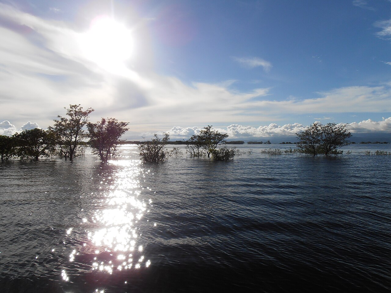
Photo: Anup Sadi / Wikimedia Commons (CC BY-SA 4.0). The top picture shows the Surma River at Chhatak, Sunamganj, photographed in December 2013, as background.
Sources: Jagonews24 (13 July 2026), The Financial Express (13 July 2026 and 11 July 2026, reports by bdnews24.com), Dhaka Tribune (12 July 2026, two reports, and 13 July 2026), Bangladesh Sangbad Sangstha (BSS, 3 July 2026), Banglapedia (Flood; Haor; Surma-Meghna River System; Kushiyara River; Sangu River; Matamuhuri River; Tista River; Dharla River; Dudhkumar River; Bangladesh Water Development Board; Surface Water Modelling Centre; Chhatak, Fenchuganj and Kalmakanda upazilas)

Comments
(0)