
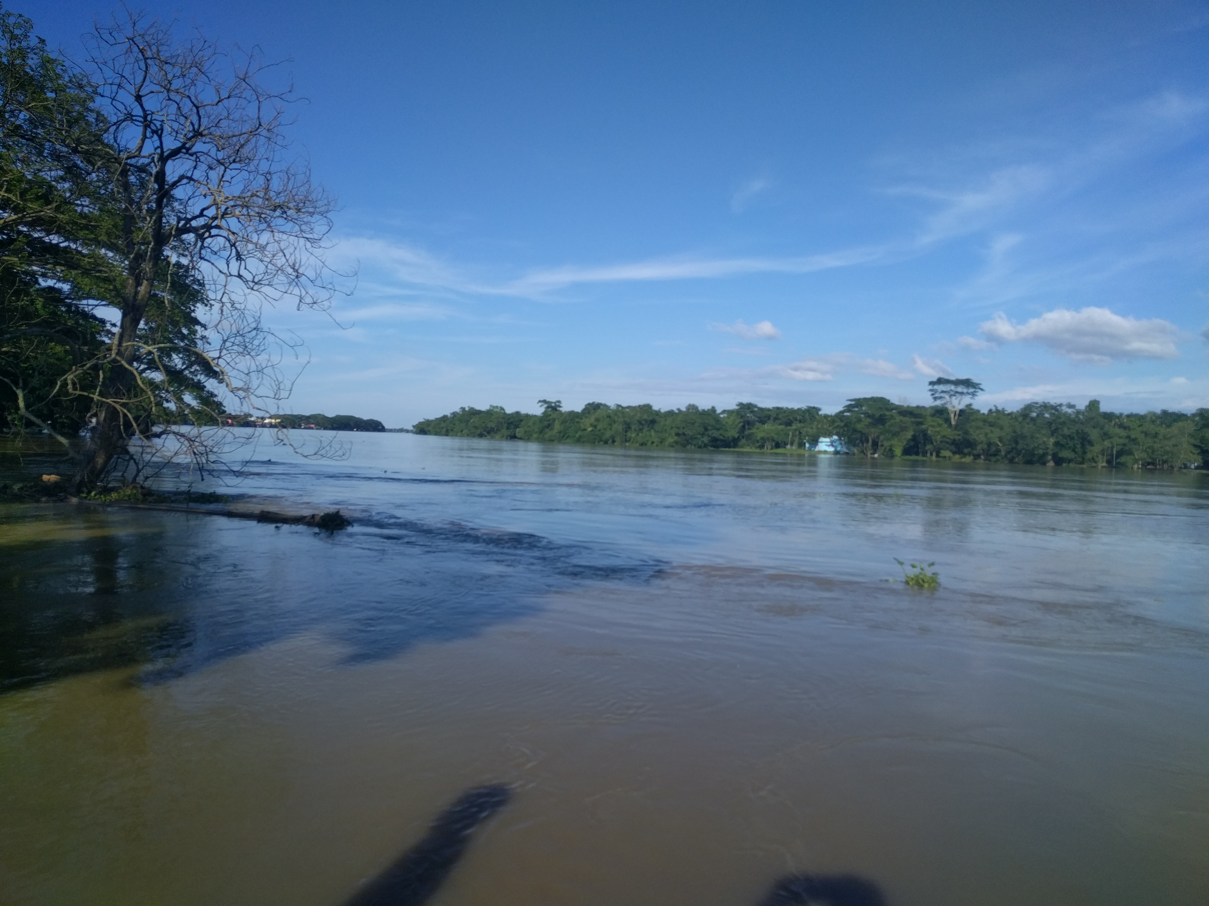
Rivers in Bangladesh's north and north-east were rising in the last week of June 2026. In its river situation and forecast bulletin on Sunday, 28 June, the Flood Forecasting and Warning Centre said the Kushiyara was flowing 4 centimetres above its danger level at Fenchuganj in Sylhet, and warned of possible flooding in riverside low-lying areas of Sylhet, Mymensingh and Rangpur divisions. Jagonews24 reported the bulletin the same day.
The Flood Forecasting and Warning Centre works under the Bangladesh Water Development Board and was set up in 1972. It monitors river water levels across the country and issues flood forecasts.
Where rivers stood at danger and warning levels
According to the bulletin, one station was above danger level that day and three were at warning level:
- Kushiyara at Fenchuganj (Sylhet): 4 cm above danger level.
- Teesta at Dalia (Nilphamari): at warning level.
- Kushiyara at Markuli: at warning level.
- Someshwari at Kalmakanda (Netrokona): at warning level.
Surma and Kushiyara expected to keep rising in Sylhet
The bulletin said the Surma and Kushiyara had risen over the previous 24 hours and could keep rising for three more days. Within 72 hours they could cross danger levels at several points in Sylhet and Sunamganj districts, causing short-term flooding in low-lying land along the banks. The Bhugai-Kangsha and Someshwari rivers of Sylhet and Mymensingh divisions could flow at warning level in Sherpur, Mymensingh and Netrokona districts, temporarily flooding low ground in places.
Banglapedia explains that the Barak, flowing in from India, splits at Amalshid in Zakiganj upazila of Sylhet: the north-western arm is the Surma and the south-western arm the Kushiyara. Because the Surma's bed at Amalshid has largely silted up, about 85 percent of the Barak's flow runs down the Kushiyara. The river, about 161 km long, passes Zakiganj, Golapganj, Fenchuganj and Balaganj and can reach a mean depth of 10 metres in the rainy season. It rejoins the Surma at Markuli in Ajmiriganj upazila. Banglapedia also notes that the hill catchments draining into the north-east bring flash floods that are usually short but hard to predict.
Teesta, Brahmaputra-Jamuna and Ganges-Padma in the north and west
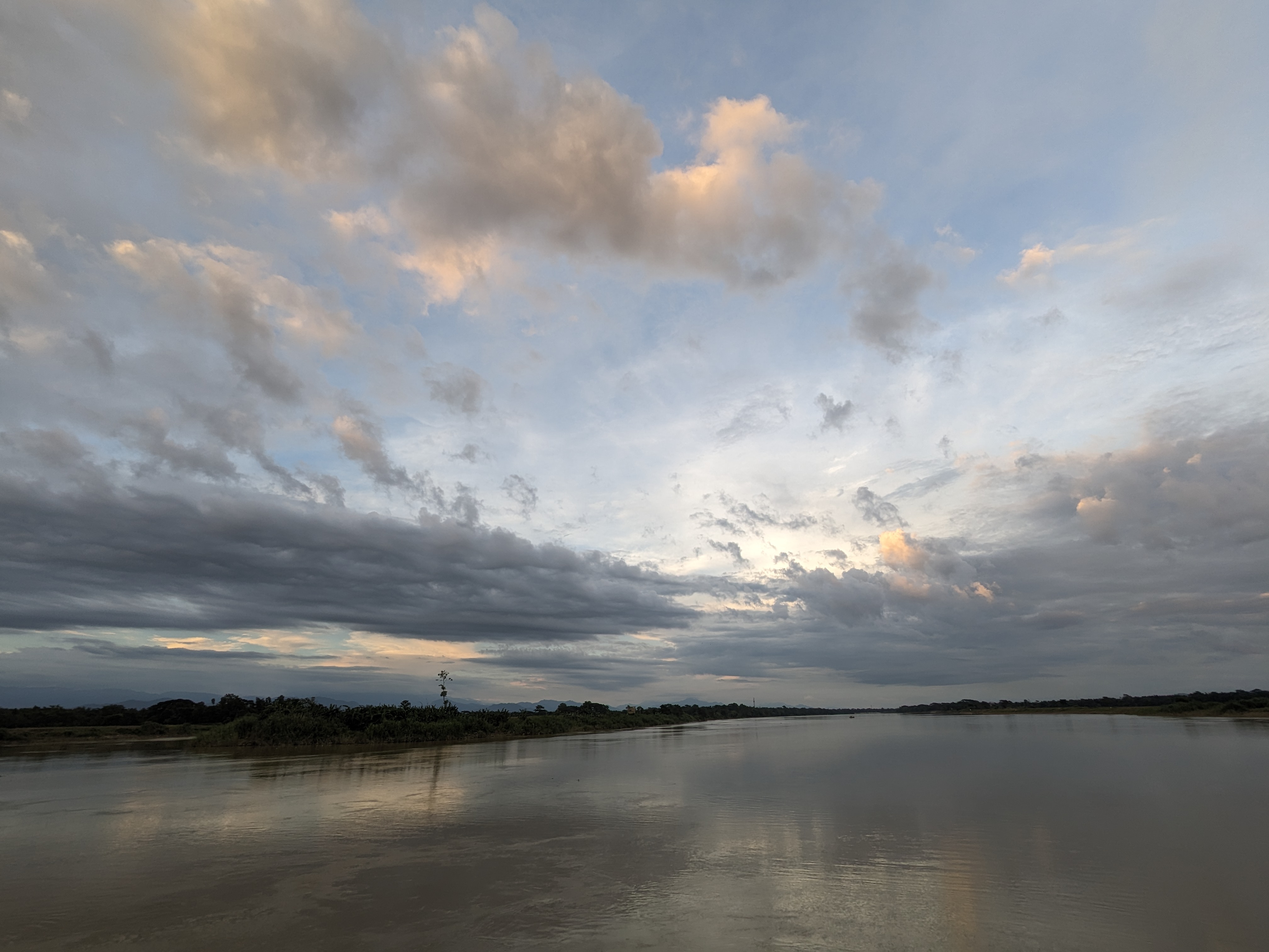
In Rangpur division, the Teesta, Dudhkumar and Dharla had been steady over the previous 24 hours but could rise over the next three days, the bulletin said. Within 48 hours they could flow above danger level, bringing short-term flooding to riverside low-lying areas of Nilphamari, Lalmonirhat, Kurigram, Rangpur and Gaibandha districts. According to Banglapedia, the Teesta enters Bangladesh in Nilphamari district and flows through Lalmonirhat, Rangpur, Kurigram and Gaibandha before joining the Jamuna.
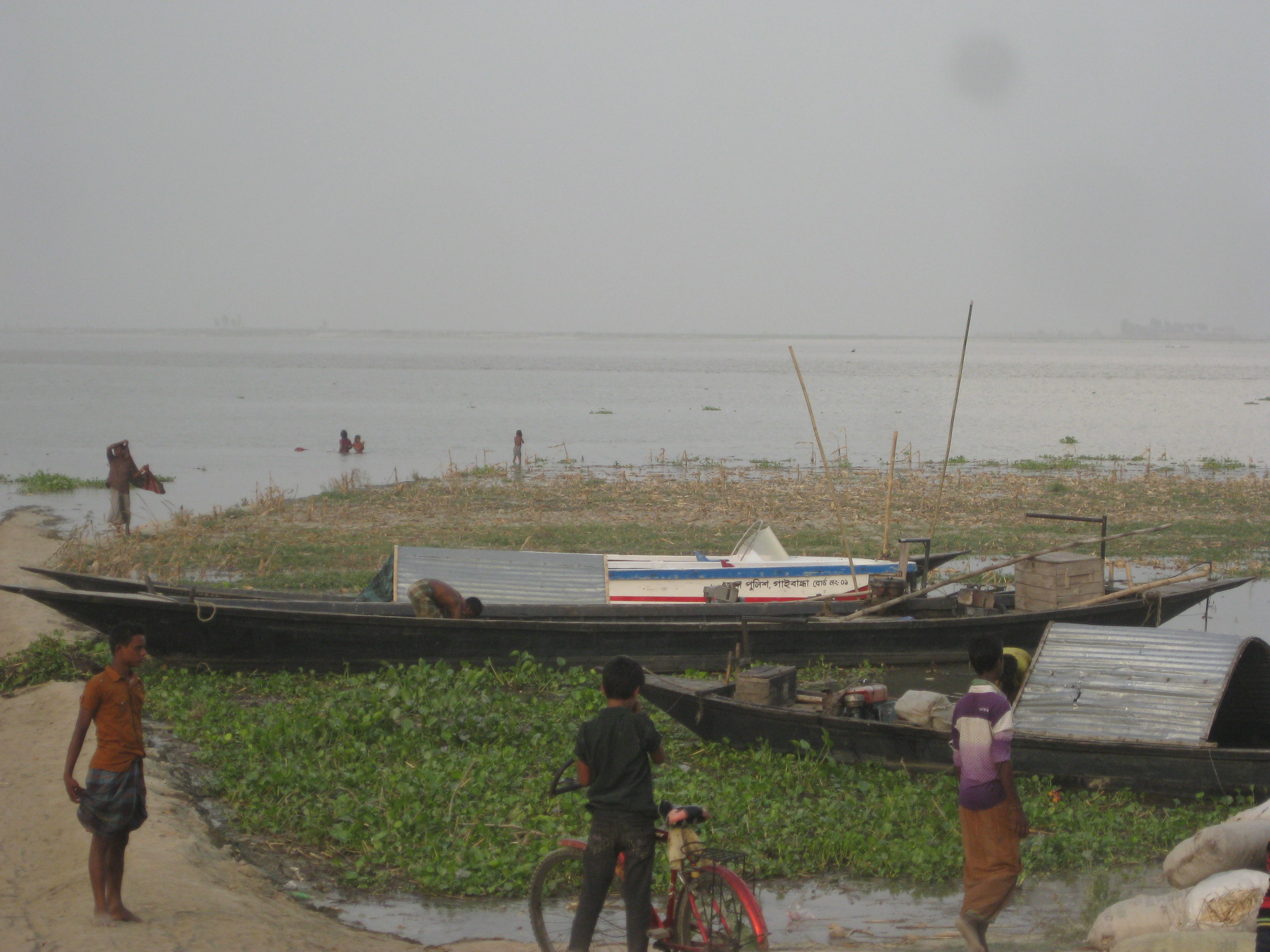
The Brahmaputra-Jamuna had also risen over the previous 24 hours, and the rise could continue for five days. Between 1 and 3 July it could reach warning level in Kurigram, Gaibandha, Jamalpur and Bogura districts, flooding low-lying land in places. In the Ganges-Padma system, the Ganges had fallen while the Padma had risen; levels were expected to hold steady for two days and then rise for three, but stay below danger level.
Why monsoon rivers spill onto low ground
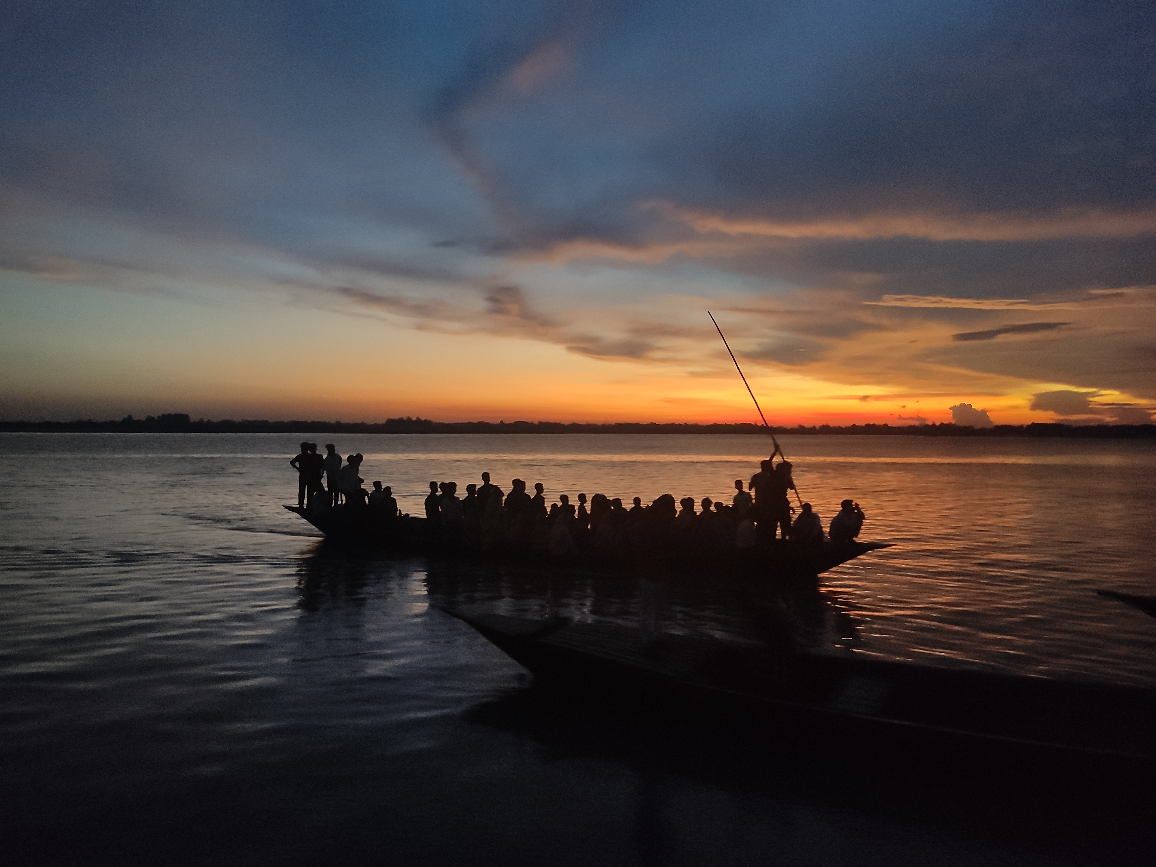
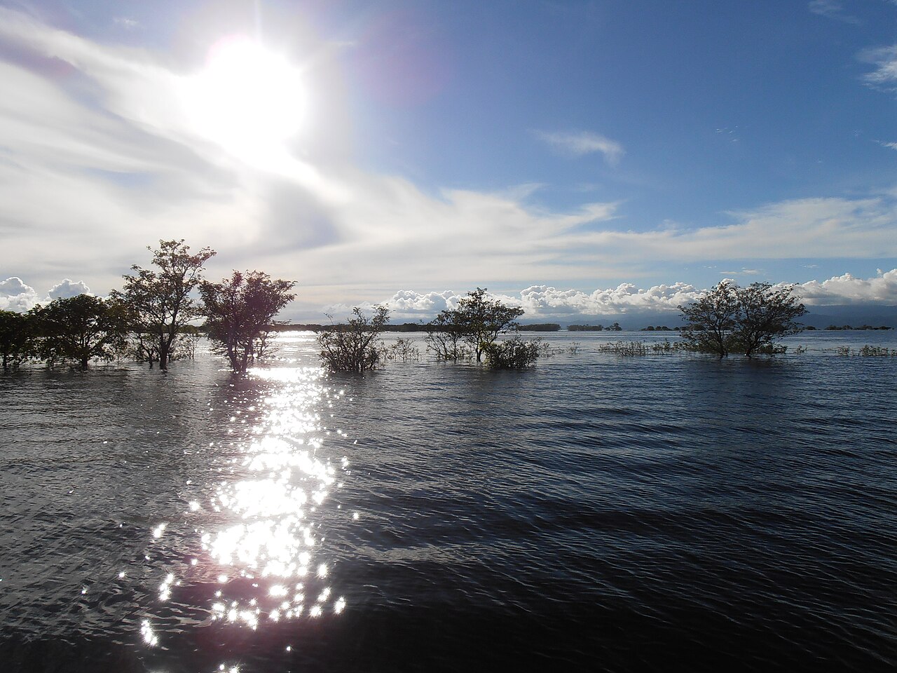
Banglapedia describes how, in the rainy season, water beyond the holding capacity of rivers, canals, beels, haors and low-lying land spreads over the surrounding area, damaging crops, homesteads and roads. Much of Bangladesh's flood water arrives from upstream through the Ganges, the Brahmaputra-Jamuna and the Meghna. In the low Sylhet basin, where the Surma and Kushiyara join to form the Meghna, water fills up quickly early in the monsoon and drains slowly. Wikipedia notes that flooding in Bangladesh normally comes in the June to September monsoon, and that small floods leave sediment that makes fields more fertile.
Photo: Minar ahmed / Wikimedia Commons (CC BY 4.0)
Sources: Jagonews24, Banglapedia, Wikipedia

Comments
(0)