
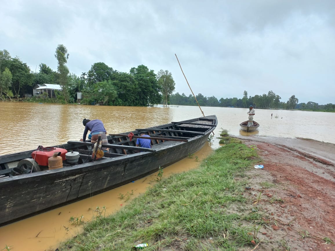
The Flood Forecasting and Warning Centre (FFWC) of the Bangladesh Water Development Board said on Monday, 20 July 2026, that floods could develop or worsen in low-lying riverside areas in several parts of the country over the following 24 to 48 hours. Flash and short-term floods were also possible in places. The forecast named rivers and districts in the Rangpur, Sylhet, Mymensingh and Rajshahi regions.
The north: Teesta, Dharla and Dudhkumar
According to the forecast, the Teesta, Dharla and Dudhkumar rivers could cause flash or short-term floods in some low-lying riverside areas of Lalmonirhat, Nilphamari, Rangpur, Gaibandha and Kurigram districts. A day earlier, on 19 July, Channel i Online, citing the centre, reported that continuous heavy rain and water from upstream were raising rivers in the north and north-east, and that these three rivers could cross the danger level at some points.
The Teesta is a river about 414 km long that rises near Pauhunri mountain in the eastern Himalayas. It flows through India, enters Bangladesh in Rangpur Division and joins the Brahmaputra in the Kurigram area. A flash flood is one that inundates low ground quickly, usually less than six hours after the rain that causes it.
Sylhet and Mymensingh: Surma-Kushiyara, Kangsha and Someshwari
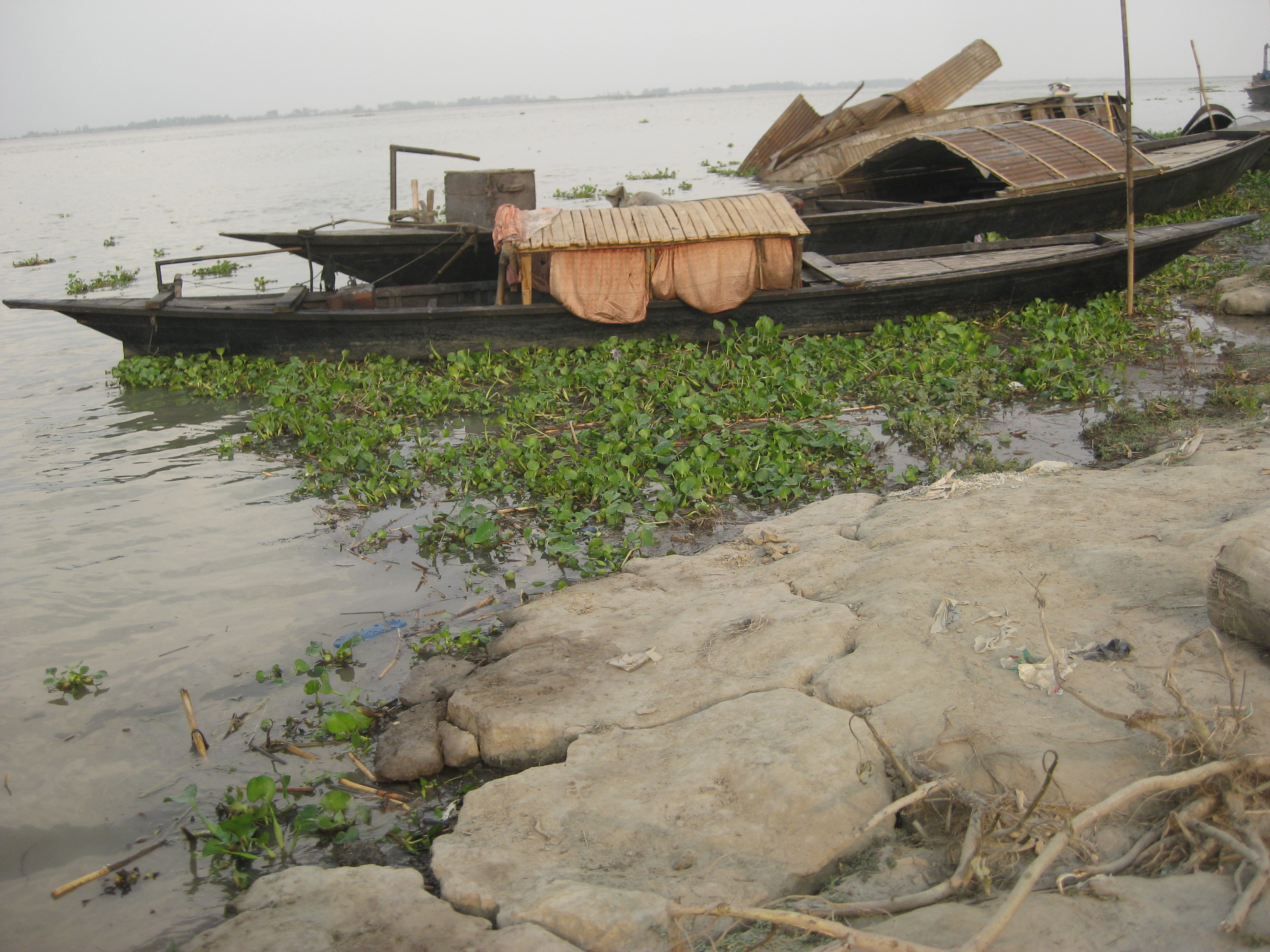
The centre said the Surma-Kushiyara rivers could cause short-term floods in some low-lying riverside areas of Sylhet and Sunamganj districts, or the situation could hold steady. The Bhugai, Kangsha and Someshwari rivers in Sherpur, Mymensingh and Netrokona districts, and the Sarigowain and Jadukata rivers in Sylhet and Sunamganj, could cause short-term floods, or the flooding already under way could worsen somewhat.
Rivers in this region had been at or above danger level for several days. Ajker Patrika reported on 18 July that the Kushiyara was flowing 35 cm above danger level at Fenchuganj in Sylhet and 8 cm above it at Markuli in Sunamganj. In the previous 24 hours Dalia in Nilphamari had recorded 190 mm of rain and Chhatak 89 mm, while Mawsynram in India's Meghalaya recorded 389 mm and Cherrapunji 252 mm. Both the Surma and the Kushiyara form where the Barak River splits in two on the India-Bangladesh border, so rain upstream feeds straight into them.
The Brahmaputra-Jamuna and Atrai basins
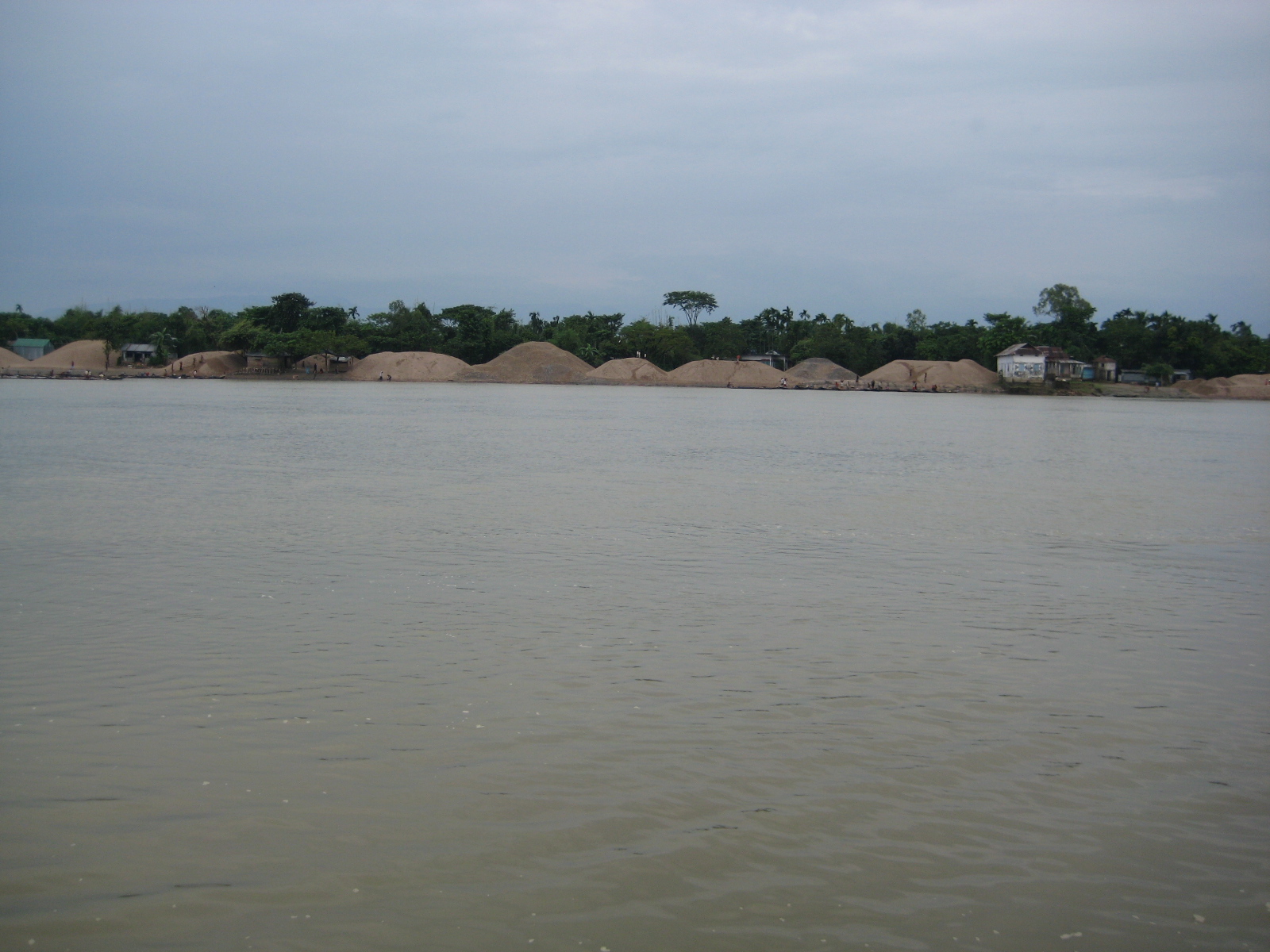
The FFWC said the Brahmaputra-Jamuna could flow at warning level at some points in Kurigram, Gaibandha, Jamalpur, Bogura, Sirajganj and Tangail districts, flooding some low-lying riverside areas. The Atrai and Chhoto Jamuna rivers could flow at warning level at some points in Naogaon and Natore districts and temporarily inundate some low-lying riverside land.
Channel i Online reported on 19 July that the Jamuna had risen over the previous 24 hours and, according to the centre, could keep rising for five more days. The same report said heavy to very heavy rain was possible for two days in Rangpur and Sylhet divisions and in the Indian states of Assam, Meghalaya and West Bengal.
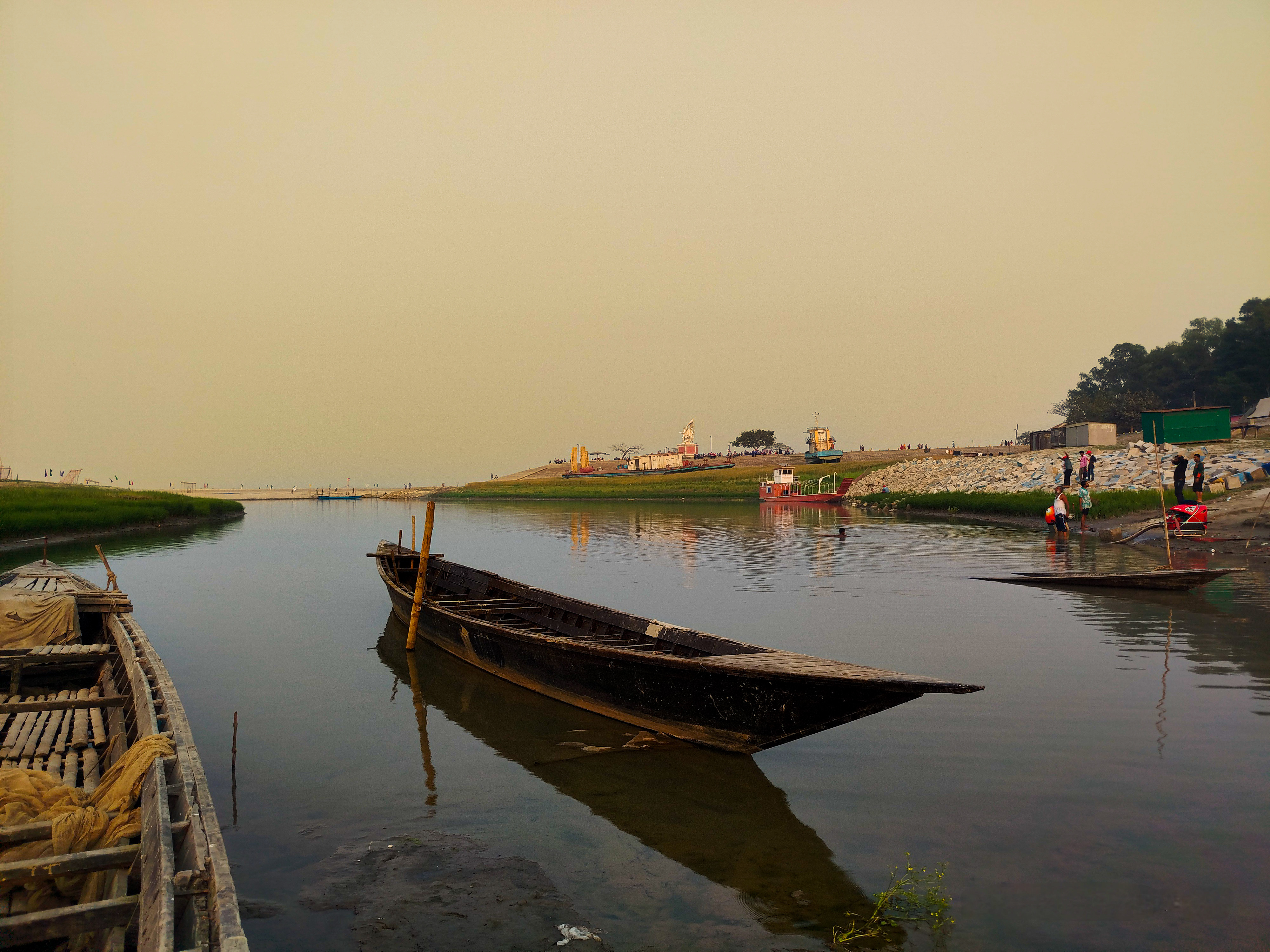
The Flood Forecasting and Warning Centre was set up in 1972. It works under the Bangladesh Water Development Board of the Ministry of Water Resources, monitors river levels across the country and issues regular flood forecasts.
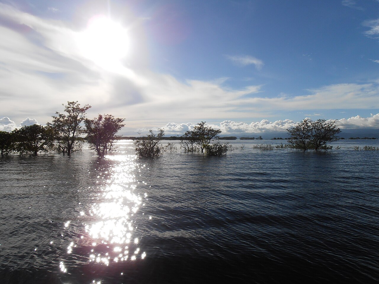
Photo: Tanvir Rahat / Wikimedia Commons (CC BY-SA 4.0)
Sources: Jagonews24, Flood Forecasting and Warning Centre (Bangladesh Water Development Board), Channel i Online, Ajker Patrika, Outlook Bangla, Wikipedia

Comments
(0)