
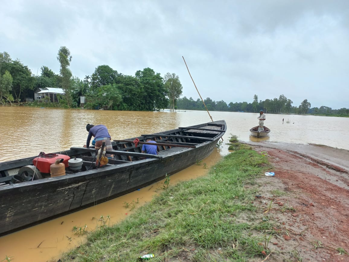
Bangladesh's Flood Forecasting and Warning Centre (FFWC), part of the Bangladesh Water Development Board (BWDB), warned in early July 2026 that floods could hit the Brahmaputra and Meghna river basins in July and August because of heavy rain upstream. Jagonews24 reported the warning on 3 July 2026, and the Dhaka Tribune and RTV Online carried it the same day.
Sarder Udoy Raihan, an executive engineer at the FFWC, told the media that for climatic reasons Bangladesh always faces a flood risk in July and August, when heavy rain falls in the basins of the main rivers and upstream. That, he said, was why floods were possible in the Brahmaputra and Meghna basins that July and August.
The worst floods come in mid-monsoon
Historically, the country's most destructive floods have come in this middle stretch of the monsoon. The flood of August-September 1988 inundated about 82,000 square kilometres, around 60 per cent of the country. The 1998 flood ran from July into September, more than two months; over 1,000 people died and about 30 million were affected.
Experts see the greatest danger when the two large basins, the Brahmaputra and the Meghna, carry high flows at the same time. In late July 2004 the peaks of the two rivers coincided, and nearly 30,000 square kilometres went under water in the north-east alone. According to Jagonews24, the 2022 flood in the Meghna basin and the 2024 floods together affected more than 13 million people. Even in an average year, about 31,000 square kilometres, around 21 per cent of the country, is flooded.
Forecasting capacity and the rivers that week
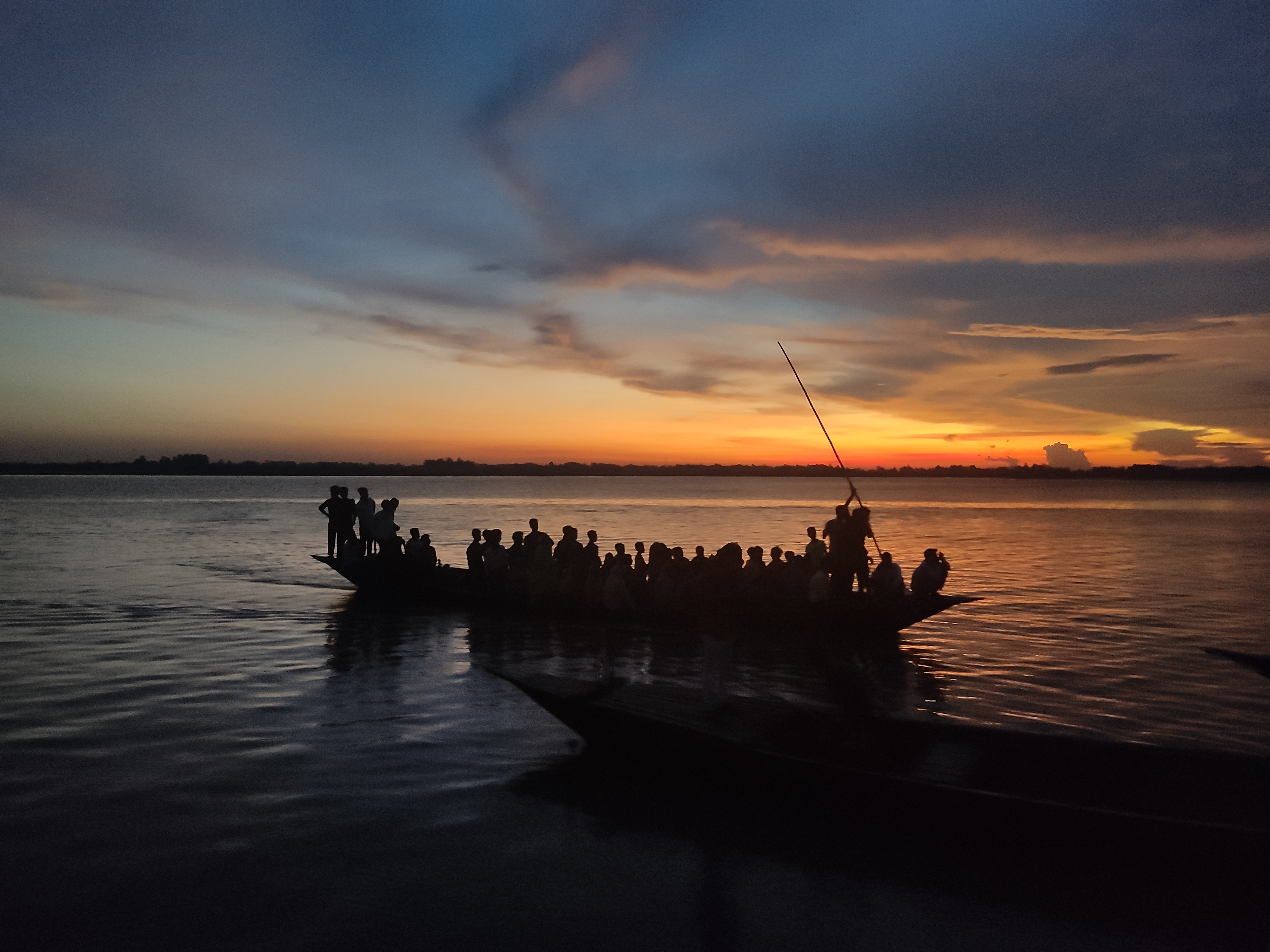
The FFWC was set up in 1972 under the BWDB and falls under the Ministry of Water Resources. It runs 109 water level monitoring stations and 61 forecasting stations across the country. Raihan said the centre could forecast floods 10 to 15 days ahead for inland river basins, but only three days ahead for coastal rivers.
Describing the situation at the time, he said low-lying parts of the Brahmaputra basin were being flooded, but conditions could stabilise within five to six days. With no heavy rain in the basin or upstream, the Meghna basin would also stay stable for a few days. He added that a low-pressure area could form in the Bay of Bengal that month, which might cause flash floods in low-lying coastal areas.
What the 2 July forecast said, district by district
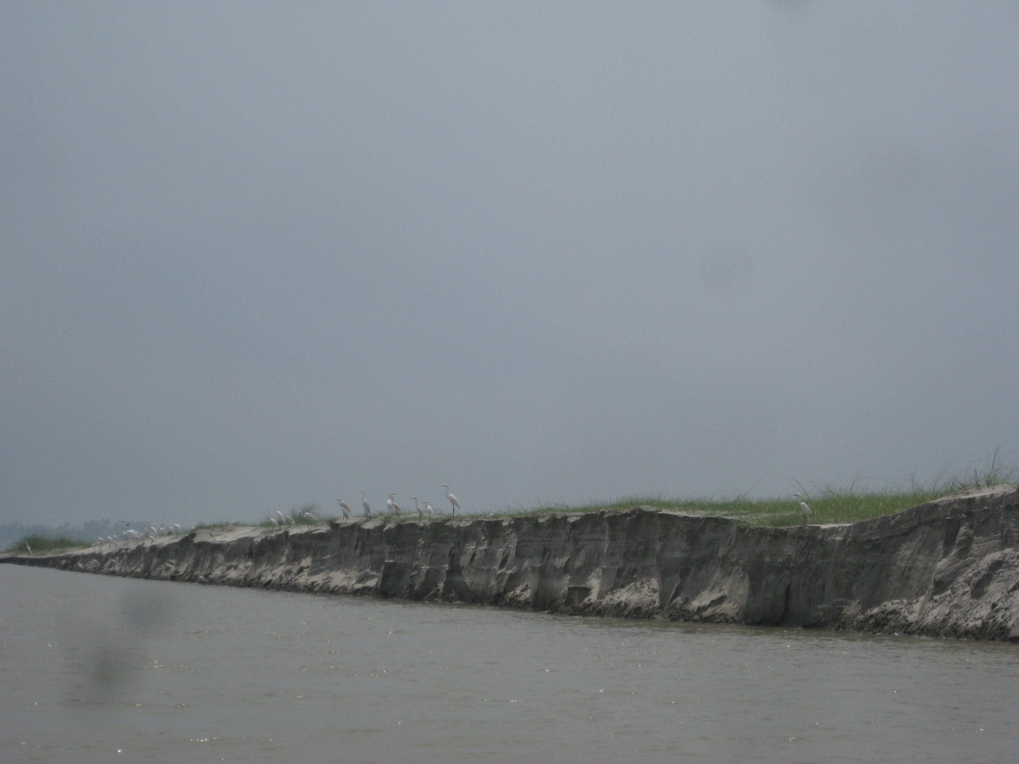
The FFWC forecast issued on Thursday, 2 July 2026, said water levels in the Brahmaputra-Jamuna system had fallen over the previous 24 hours but could rise over the next four days and hold steady on the fifth. Its main points were:
- From 4 to 7 July the Brahmaputra-Jamuna could flow at warning level in Kurigram, Gaibandha, Jamalpur and Bogura, possibly flooding some nearby low-lying areas.
- The Ganges-Padma could keep rising for five days but would stay below danger level.
- Within 72 hours the Surma-Kushiyara (Upper Meghna) could reach warning level in Sylhet and Sunamganj, keeping some nearby low-lying areas flooded.
At the time, the Teesta at Dalia in Nilphamari and at the Tarapur point in Lalmonirhat, the Kushiyara at Fenchuganj in Sylhet and at Markuli in Sunamganj, and the Someshwari at Kalmakanda in Netrokona were all flowing at their warning levels.
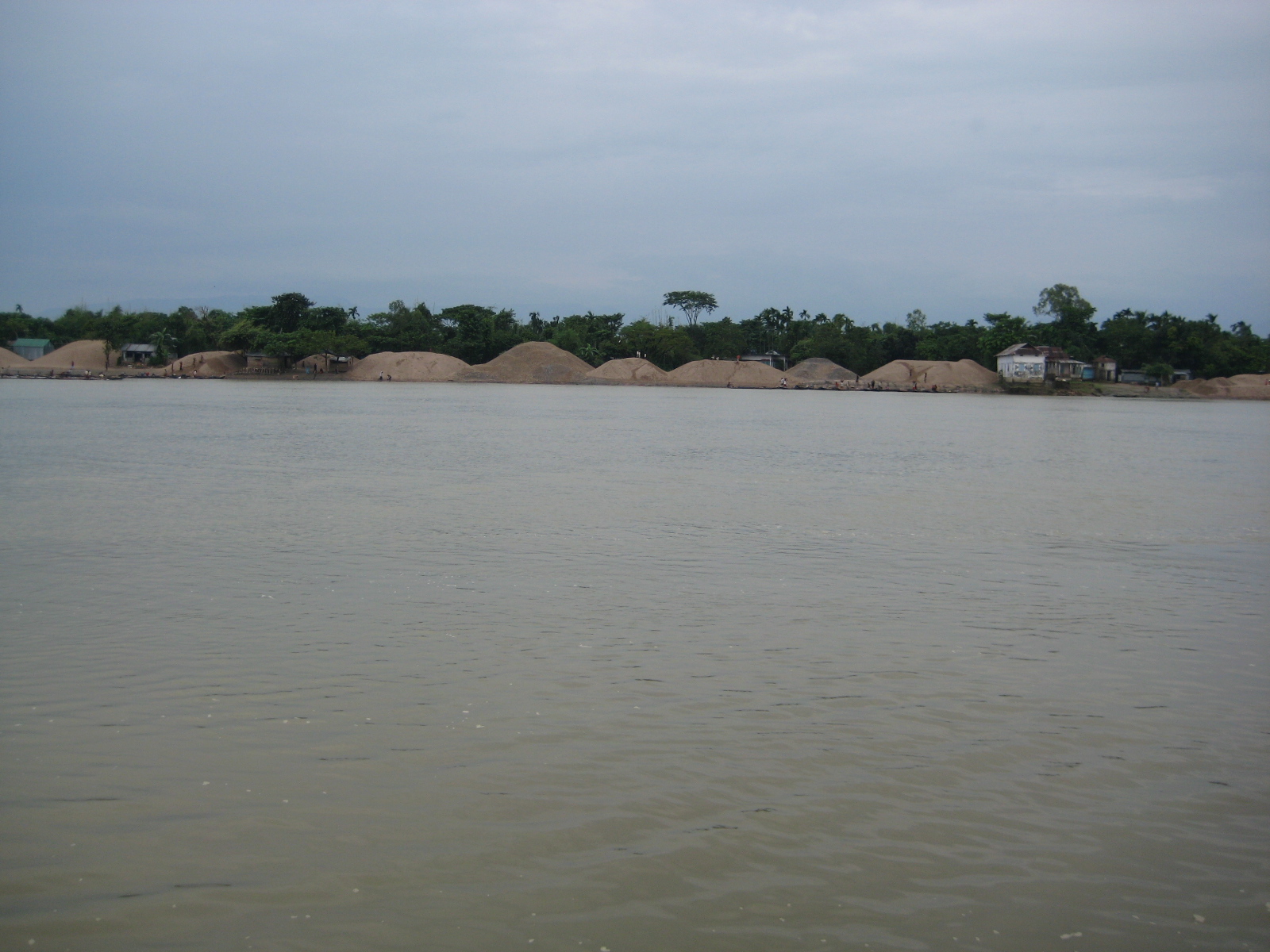
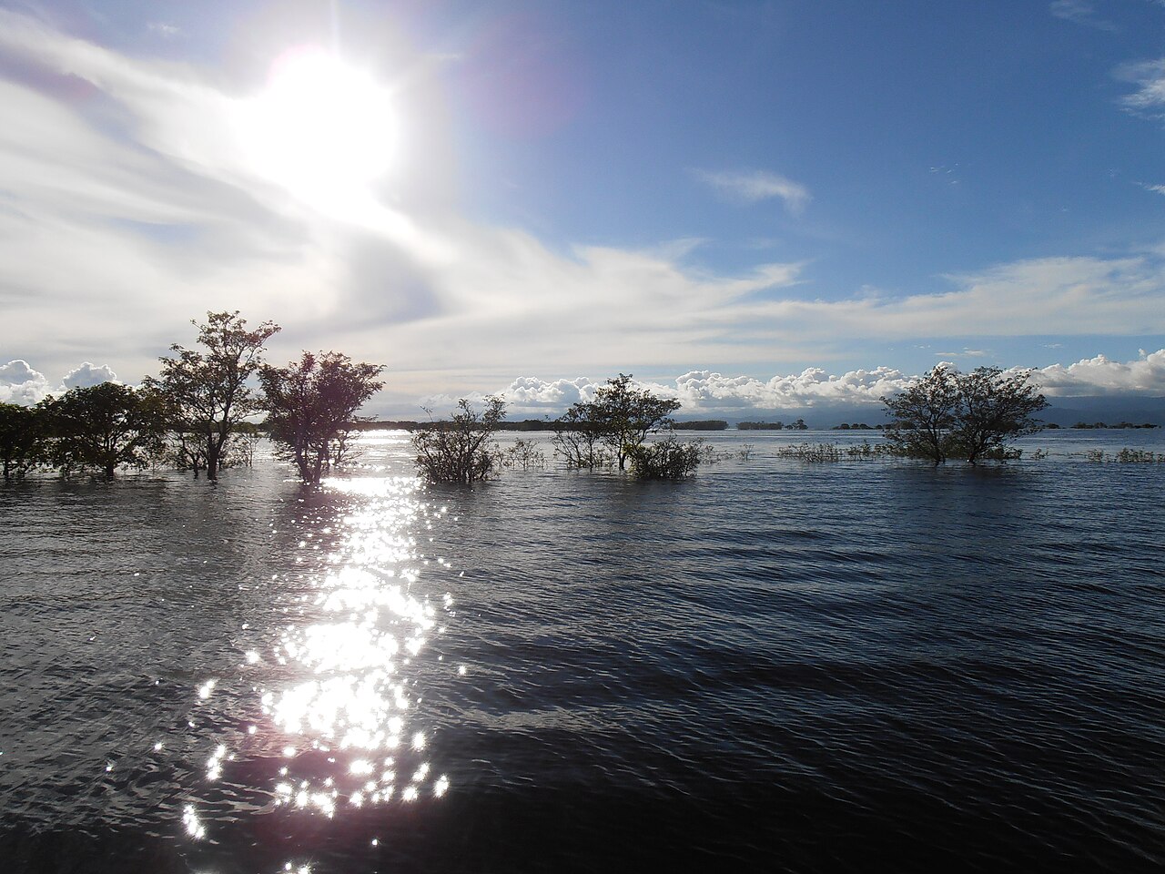
Photo: Tanvir Rahat / Wikimedia Commons (CC BY-SA 4.0)
Sources: Jagonews24, Dhaka Tribune, RTV Online, a study of the 2004 Meghna basin flood in the journal of the Asia Oceania Geosciences Society, Wikipedia

Comments
(0)