
Artificial intelligence (AI), satellite data and smart sensors in rivers are making it possible to warn of floods before they arrive. AI-based forecasting systems analyse rainfall, river levels, weather patterns and records of past disasters to estimate where and when a flood may strike, how high the water may rise and which communities are most at risk.
Google's Flood Hub is one such system. According to the company, it can provide flood forecasts for about 2 billion people in more than 150 countries, in some cases up to seven days ahead. Climate-resilient infrastructure and technology are also on the agenda at the UN climate conference COP31 now under way in Antalya, Turkey.
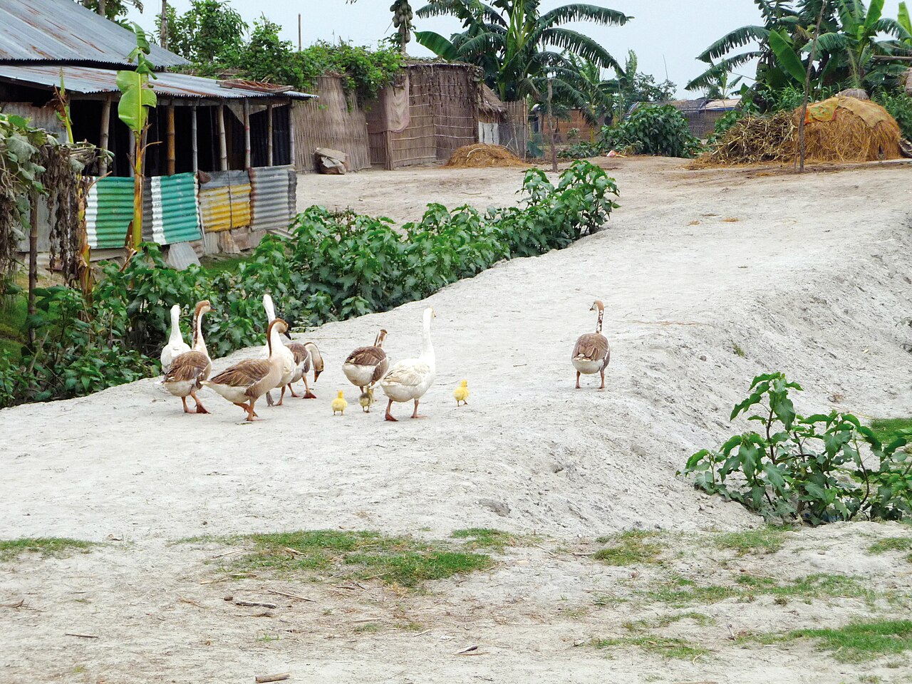
In Bangladesh the north, the haors, the chars and riverbanks face flood risk every monsoon. When water rises fast, farmers struggle to cut ripe rice and move livestock to safety. Early warning lets farmers prepare to harvest, fishers return safely and local officials ready shelters.
To get warnings to people quickly, smart sensors are being installed in rivers that automatically send water level, current speed and rainfall data to a central system. When water nears the danger mark, officials are alerted and residents can be told by text message or other digital channels. The Department of Disaster Management's web-based AWARE system lets officials monitor floods, cyclones, lightning, landslides and other hazards.
Alamgir Kabir, general secretary of Bangladesh Poribesh Andolon (BAPA), said weather stations, radar, ocean buoys and digital risk maps need upgrading, and that cell broadcast technology can send an emergency alert to every mobile phone in an area at once. According to the UN Office for Disaster Risk Reduction (UNDRR), Bangladesh has a national roadmap for 2025 to 2030 to extend multi-hazard early warning.
Some countries are also building amphibious houses that float up as floodwater rises. Climate and environment specialist Professor Dr. Kamruzzaman Majumder said such houses could be tried in Bangladesh's haors, chars and low-lying coast, but must first be tested against local currents, soils, storm speeds and what people can afford.
Experts also point to limits: poor electricity and internet in remote areas, the cost of maintaining equipment, a shortage of skilled staff and the accuracy of forecasts. A warning that reaches people but is not understood, or cannot be acted on, brings no benefit. The report is by Shafiqul Islam of Dhaka Post.
Photo: Department of Foreign Affairs and Trade / Wikimedia Commons (CC BY 2.0)
Source: Dhaka Post

Comments
(0)