
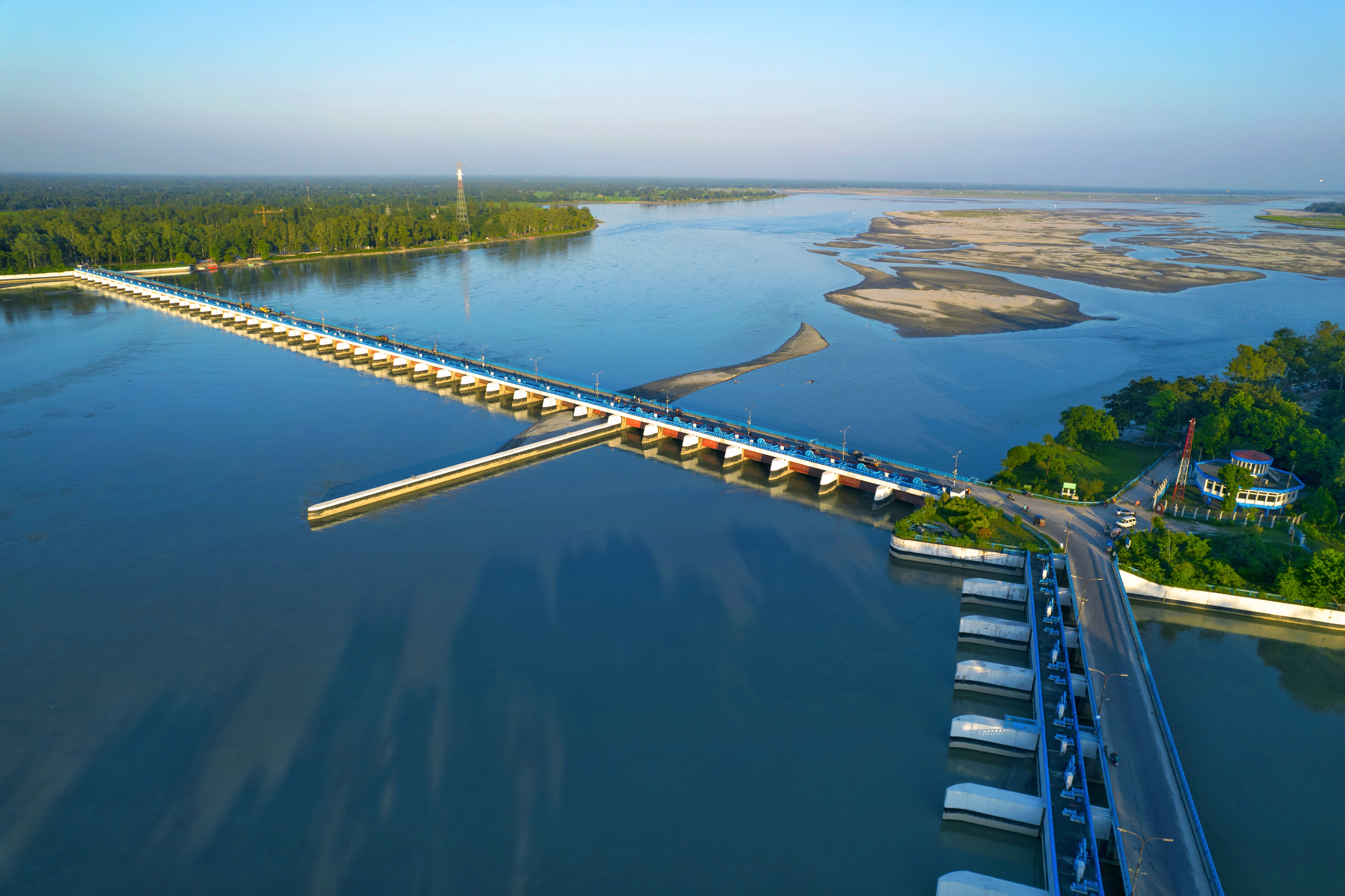
Continuous heavy rain and hill runoff from upstream sent the Teesta rising fast on Tuesday, 7 July 2026. At 6pm that day the river was flowing just 12 cm below the danger level at the Dalia point of the Teesta Barrage in Hatibandha, Lalmonirhat. The Bangladesh Water Development Board (BWDB) feared the water could cross the danger level at any moment and cause short-term flooding in low-lying riverside areas. According to Jagonews24's Lalmonirhat correspondent, people along the Teesta were facing the fear of a flood for the third time in two months.
Closer to the danger mark within 12 hours
Readings at the Dalia point showed the Teesta 25 cm below the danger level at 6am on 7 July. Twelve hours later, at 6pm, it had risen to 12 cm below the mark.
Sunil Kumar, executive engineer of the BWDB in Lalmonirhat, told Jagonews24 that the water could flow above the danger level within the next 24 hours and cause short-term flooding. He said the Lalmonirhat BWDB was ready to stop river erosion wherever it appeared, and that sandbags and geo-bags had been kept ready for emergencies.
The Teesta Barrage stands in Hatibandha upazila of Lalmonirhat and Dimla upazila of Nilphamari. It is the main structure of the Teesta Irrigation Project, known as the country's largest irrigation project and also called the Dalia Teesta Barrage. Construction began in 1979 and was completed in 1990, and the BWDB operates and maintains it.
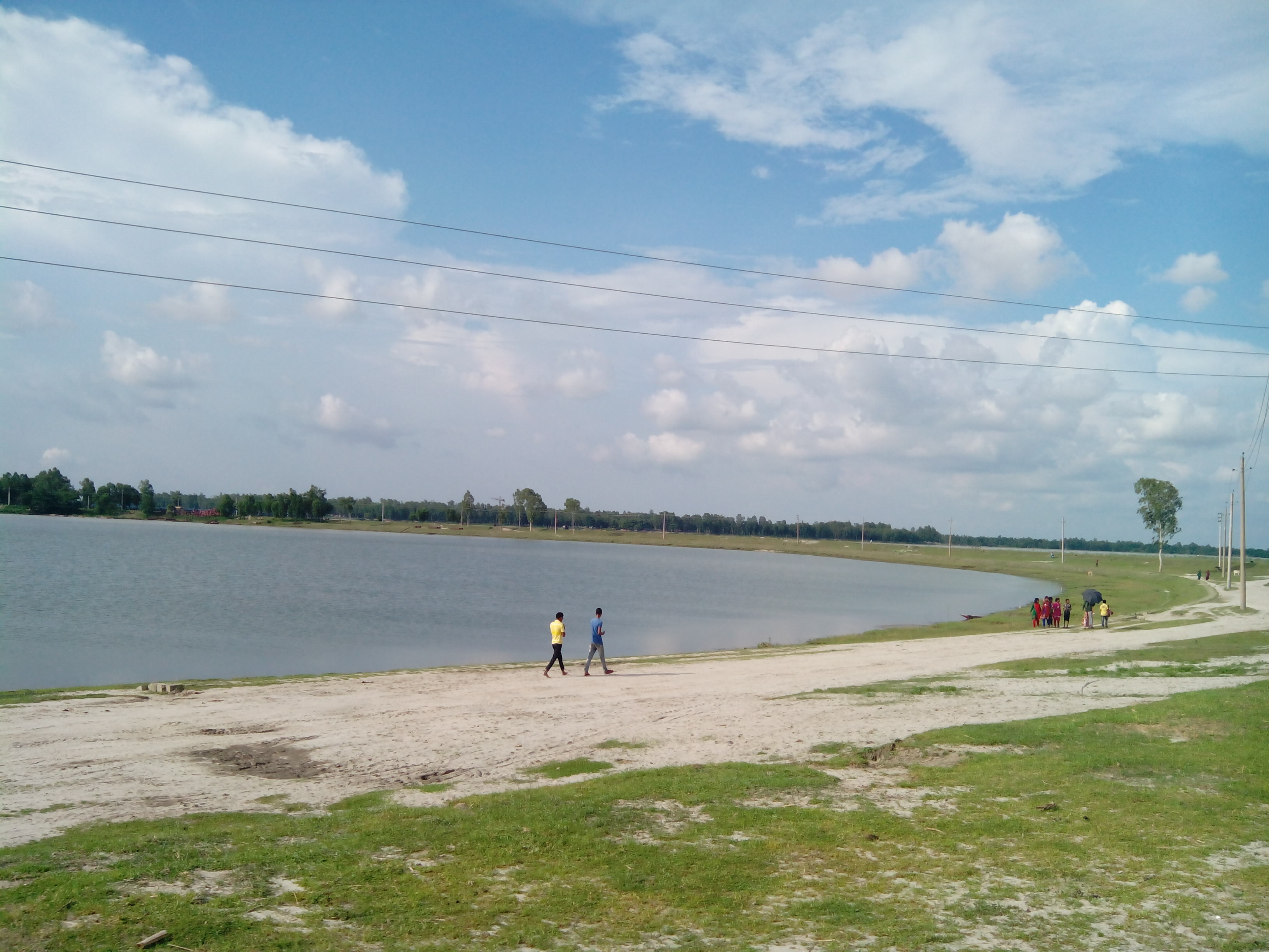
The flood forecasting centre's warning
In a special bulletin that day, the BWDB's Flood Forecasting and Warning Centre (FFWC) said that although the Teesta, Dharla and Dudhkumar rivers in Rangpur division had fallen over the previous 24 hours, they could rise rapidly over the next three days. It saw a strong chance of the Teesta crossing the danger level within 24 to 48 hours, which could bring short-term flooding to low-lying riverside areas of Nilphamari and Lalmonirhat districts. Over the next 72 hours, the Dharla and Dudhkumar could reach the warning level in Lalmonirhat and Kurigram, temporarily inundating low-lying areas there.
The Daily Observer reported on 7 July that, according to the FFWC, no monitored river had crossed its danger level as of 9am that day. But with heavy to very heavy rain forecast for the next four days over Chattogram, Sylhet, Mymensingh and Rangpur divisions and adjoining parts of Tripura, Assam, Meghalaya and West Bengal in India, river levels could rise rapidly, putting at least 12 districts at risk of short-term flooding. The same forecast said the Brahmaputra-Jamuna could recede for three days and the Padma for five.
The FFWC was set up in 1972 under the Bangladesh Water Development Board. It falls under the Ministry of Water Resources and monitors river levels across the country to forecast floods.
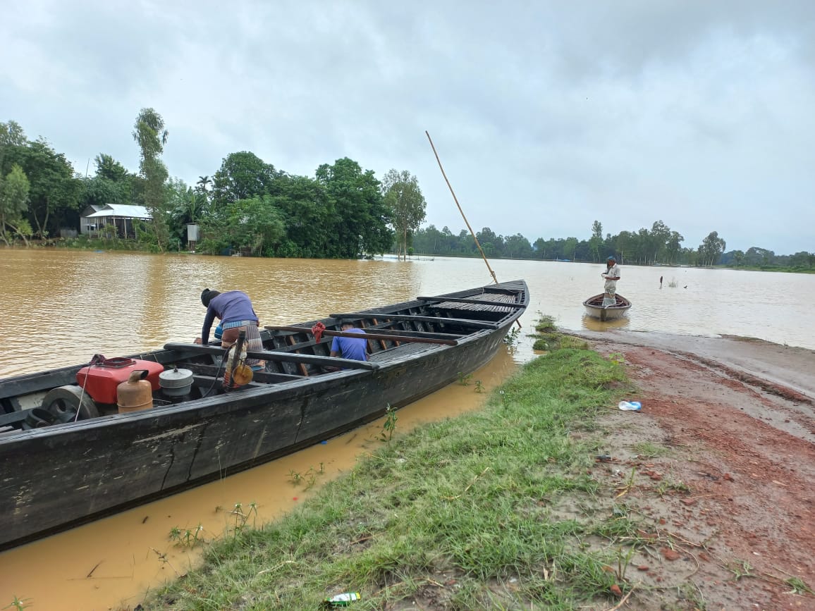
The Teesta, the Dharla and the riverside districts
The Teesta rises in the eastern Himalayas, flows through the Indian states of Sikkim and West Bengal and enters Bangladesh through Rangpur division. The river is about 414 km long, 109 km of it in Bangladesh, where it flows through Lalmonirhat, Rangpur, Kurigram and Gaibandha districts before joining the Jamuna at Phulchhari upazila.
The Dharla is a tributary of the Brahmaputra. Known as the Jaldhaka in India, it enters Bangladesh through Lalmonirhat district, flows on as the Dharla and empties into the Jamuna near Kurigram.
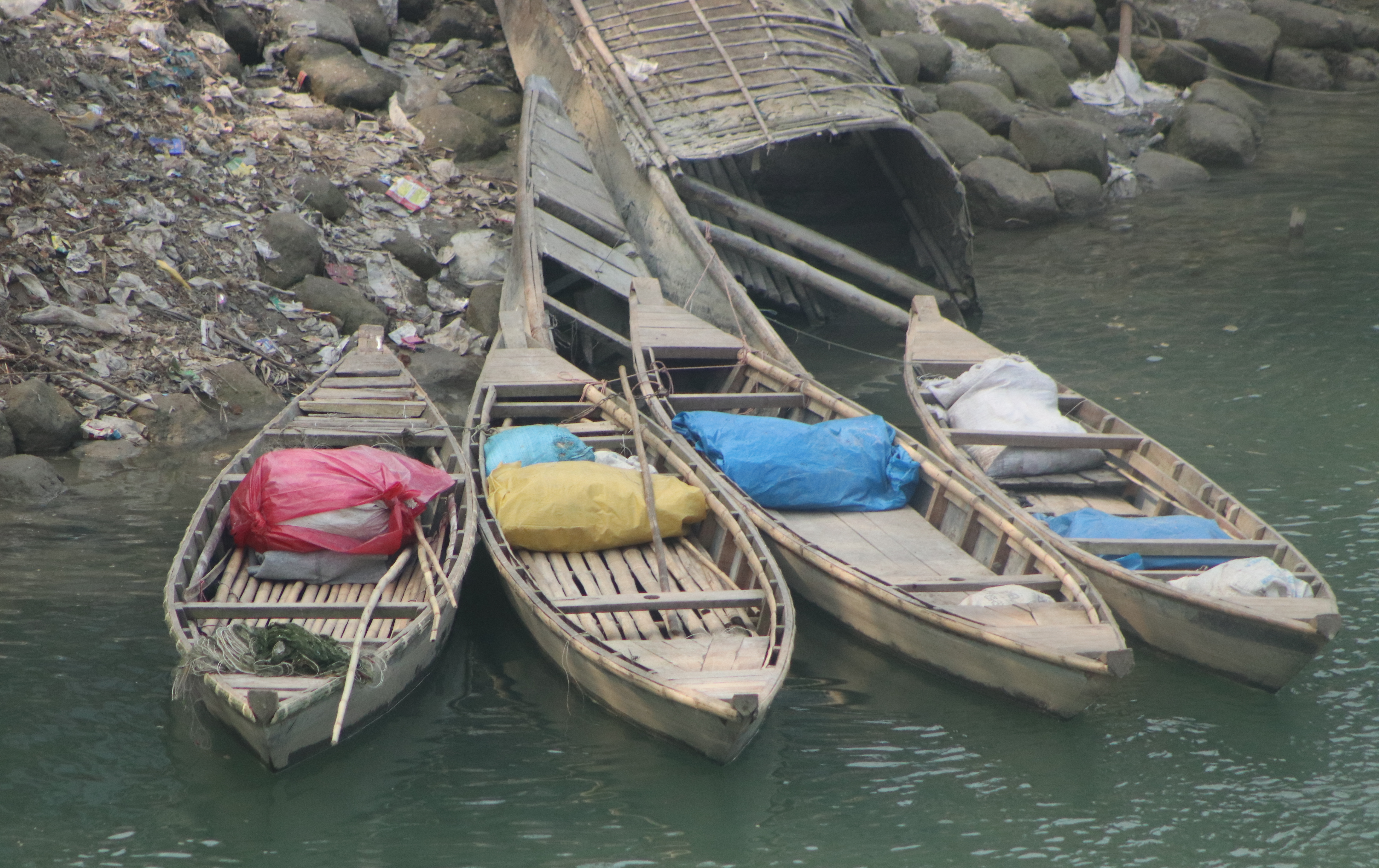
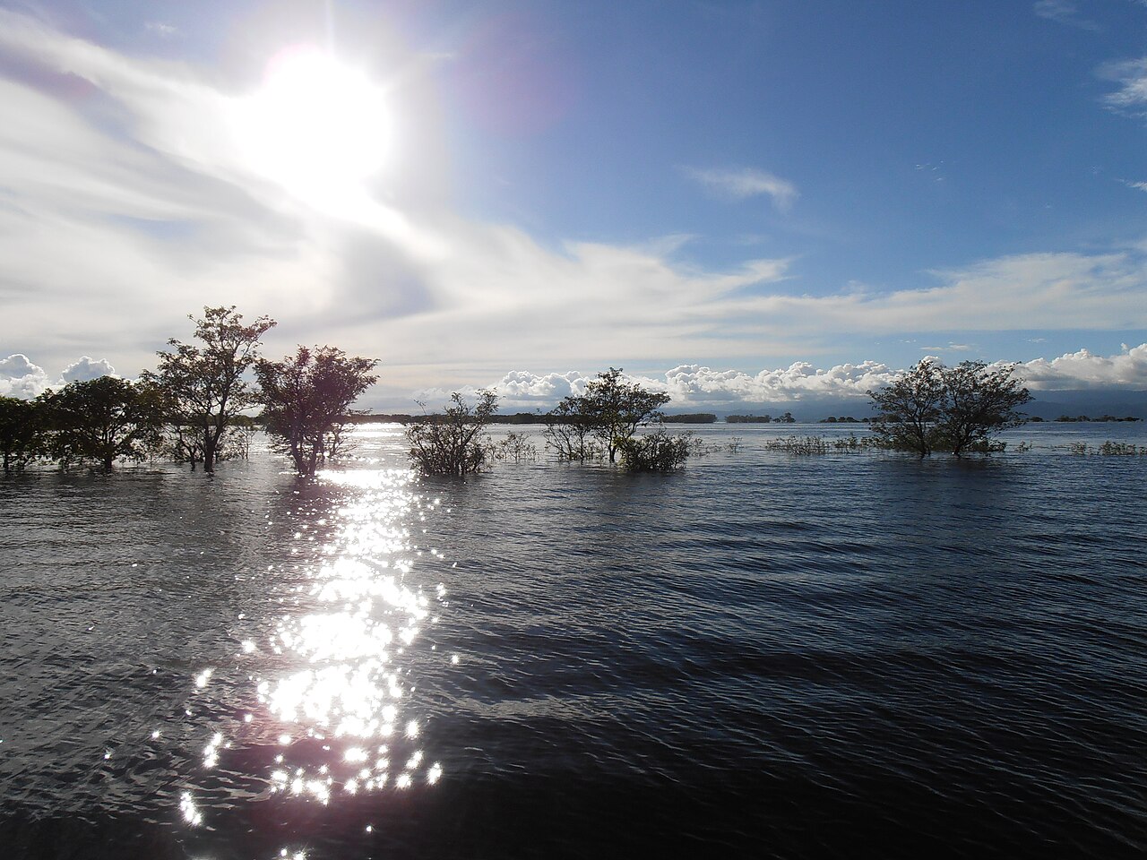
Photo: Shafiul Islam Shaikot / Wikimedia Commons (CC BY 4.0)
Sources: Jagonews24, The Daily Observer, Wikipedia (Teesta River, Teesta Irrigation Project, Flood Forecasting and Warning Centre, Dharla River)

Comments
(0)