
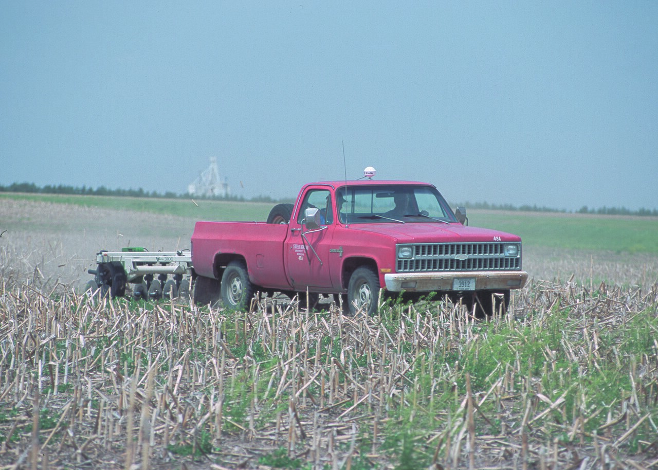
Soil maps built from sensor and elevation data are helping farmers decide how much seed, fertiliser and crop protection each part of a field needs, two crop advisers showed at a SWAT mapping demonstration during the 2026 Great Ontario Yield Tour, Farms.com reports. Certified Crop Advisor Patrick Lynch said his own work with soil sampling and variable-rate fertiliser had shown him the limits of treating whole fields the same.
The SWAT system combines soil electrical conductivity, measured by an electromagnetic sensor at depths of about 0.5 and 1 metre, with real-time kinematic (RTK) elevation data, to pick out differences in soil texture, water-holding capacity and landscape. The maps divide a field into management zones, usually 10. Low-numbered zones tend to be hills, eroded patches and sandy soils that hold little water; middle zones are average ground; high-numbered zones are lower slopes, hollows, heavy clays and organic soils. Service providers check the maps with field inspections and soil samples.
Agricultural specialist Mike Sullivan said the maps guide soil sampling and variable-rate applications of seed, lime, fertiliser, fungicides and plant growth regulators. For corn, variable-rate seeding generally runs from 27,000 to 37,000 seeds an acre, with lower populations in drier zones to reduce competition for water and higher ones in productive zones. Soybeans need a different approach, because plants in good conditions branch more.
Uniform fertiliser can build up excess nutrients in weaker zones, where crops remove less, while productive zones are drained faster; soil tests and variable-rate prescriptions help correct this and avoid needless input costs. In soybeans, maps and crop-monitoring cameras can show where a second fungicide pass is unlikely to pay.
The presenters stressed that ground-truthing remains essential: farmers can compare variable-rate strips with standard rates using plant counts and yield data. Equipment compatibility, software integration and accurate field observations, they said, still matter as much as the maps themselves.
Photo: Bob Nichols, USDA Natural Resources Conservation Service (a soil electrical conductivity mapping rig pulled through a field) / Wikimedia Commons (public domain)
Source: Farms.com
Comments
(0)