
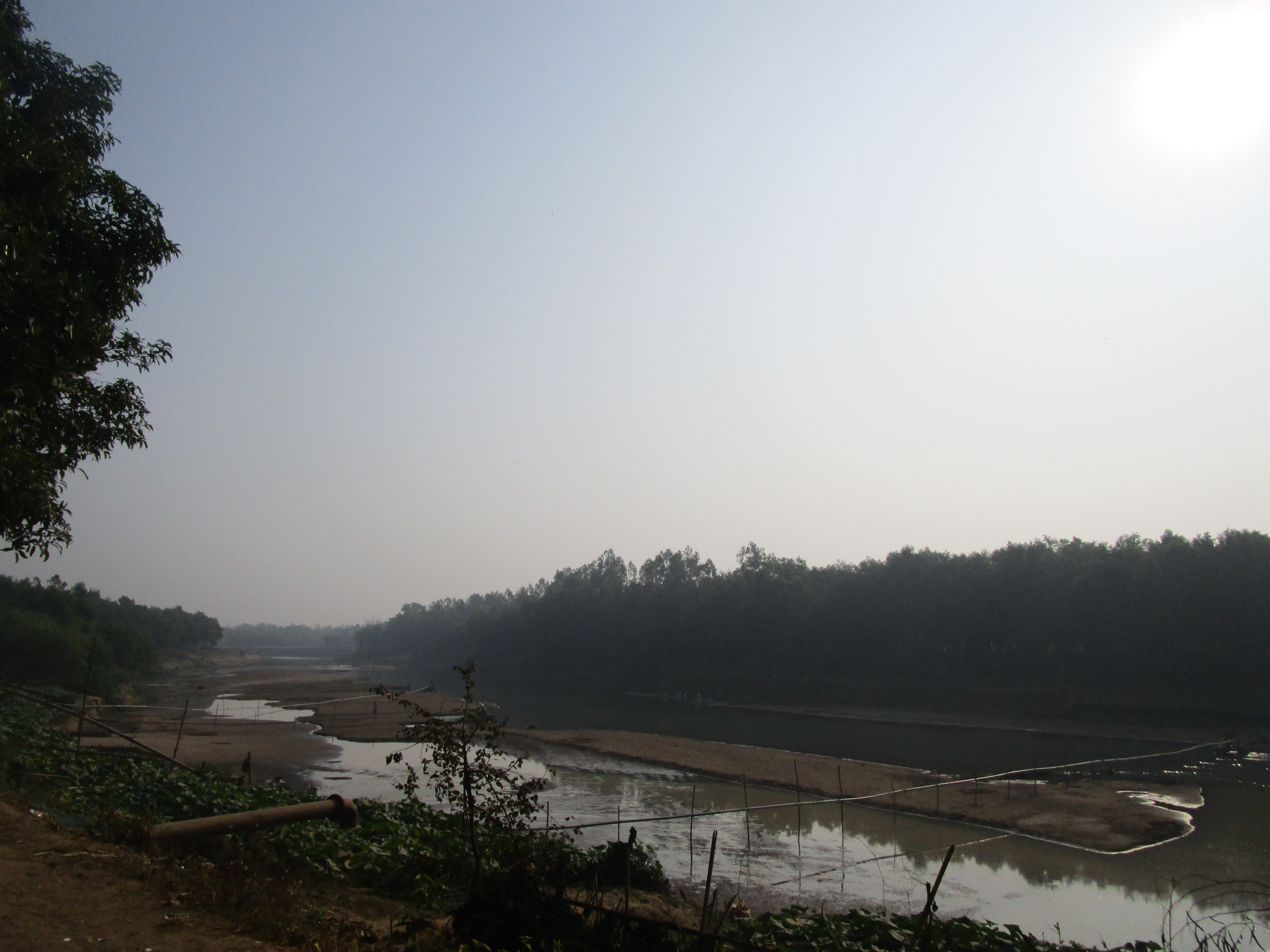
Hill runoff began to recede in Sherpur, and from the morning of Friday, 10 July 2026, the district's main rivers were flowing below the danger level, Jagonews24 reported on 11 July. With no heavy rain in the previous 48 hours the water fell, but as it drained the damage came into view: continuous rain on Wednesday and Thursday and a sudden runoff from upstream in India had wrecked part of the Sherpur-Nalitabari road via Gazirkhamar at Gollarpar in Nalitabari upazila.
Rivers below the danger level
According to the Bangladesh Water Development Board, at 9am on Saturday, 11 July, the Chellakhali river in Nalitabari upazila was 76 cm below the danger level. The Bhogai was 308 cm below at the Nakugaon point and 270 cm below at the Nalitabari point, and the Old Brahmaputra in Sadar upazila was 388 cm below. The Jhinaigati and Someshwari rivers were also below the danger level.
Jagonews24 reported that farmers had suffered little damage, as no crops were standing in the fields at the time.
Road washed out at Gollarpar
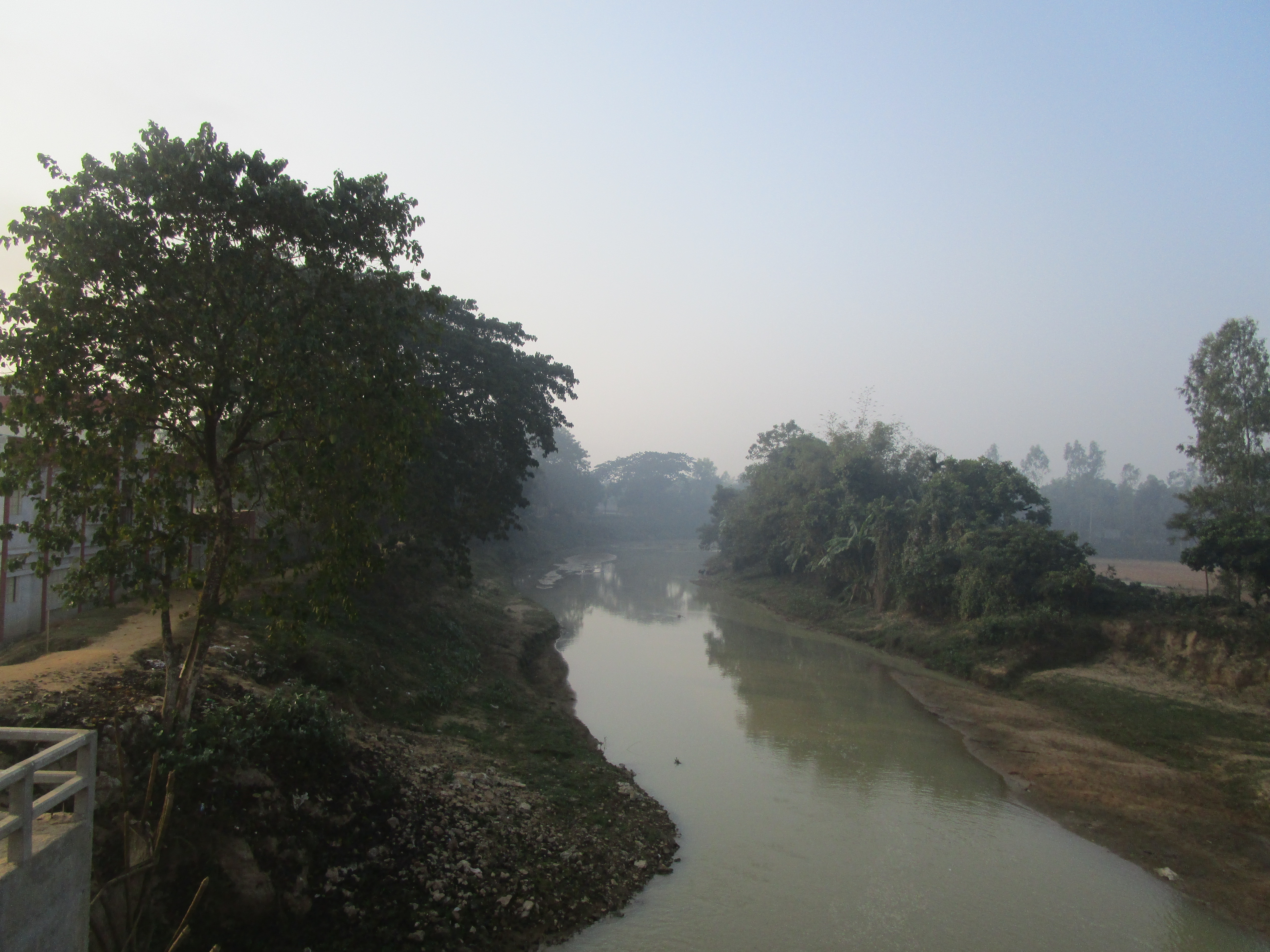
Jagonews24 and Kalbela reported that about 30 metres of the road were destroyed at Gollarpar. The Daily Inqilab, on 11 July, put the stretch lost to the river at about 100 metres and wrote that at least 12 feet of the roughly 18-foot-wide road had collapsed, leaving 6 to 7 feet on which only small vehicles were moving, at risk. Drivers and local residents were left struggling.
Citing LGED sources, the Inqilab said palisading had been built along about 200 metres in 2013 to protect the road from erosion by the Chellakhali, with concrete blocks added later, and that the June runoff had partly damaged it. LGED executive engineer Mustafizur Rahman told the paper that two box culverts on the opposite bank had been blocked with earth, disrupting the river's flow, and that illegal extraction of sand and soil nearby had weakened the road and its protection works. Water Development Board executive engineer Sudipta Chowdhury told the Inqilab that the riverside road belonged to the LGED, but that some sacks had been sent given the emergency.
Deputy Commissioner Farida Yasmin inspected the road and told the Water Development Board and the LGED to repair it quickly. She told the Inqilab that she would visit the site again on Saturday with officials of both departments and that the box culverts would be opened to let water pass.
Preparing for flash floods
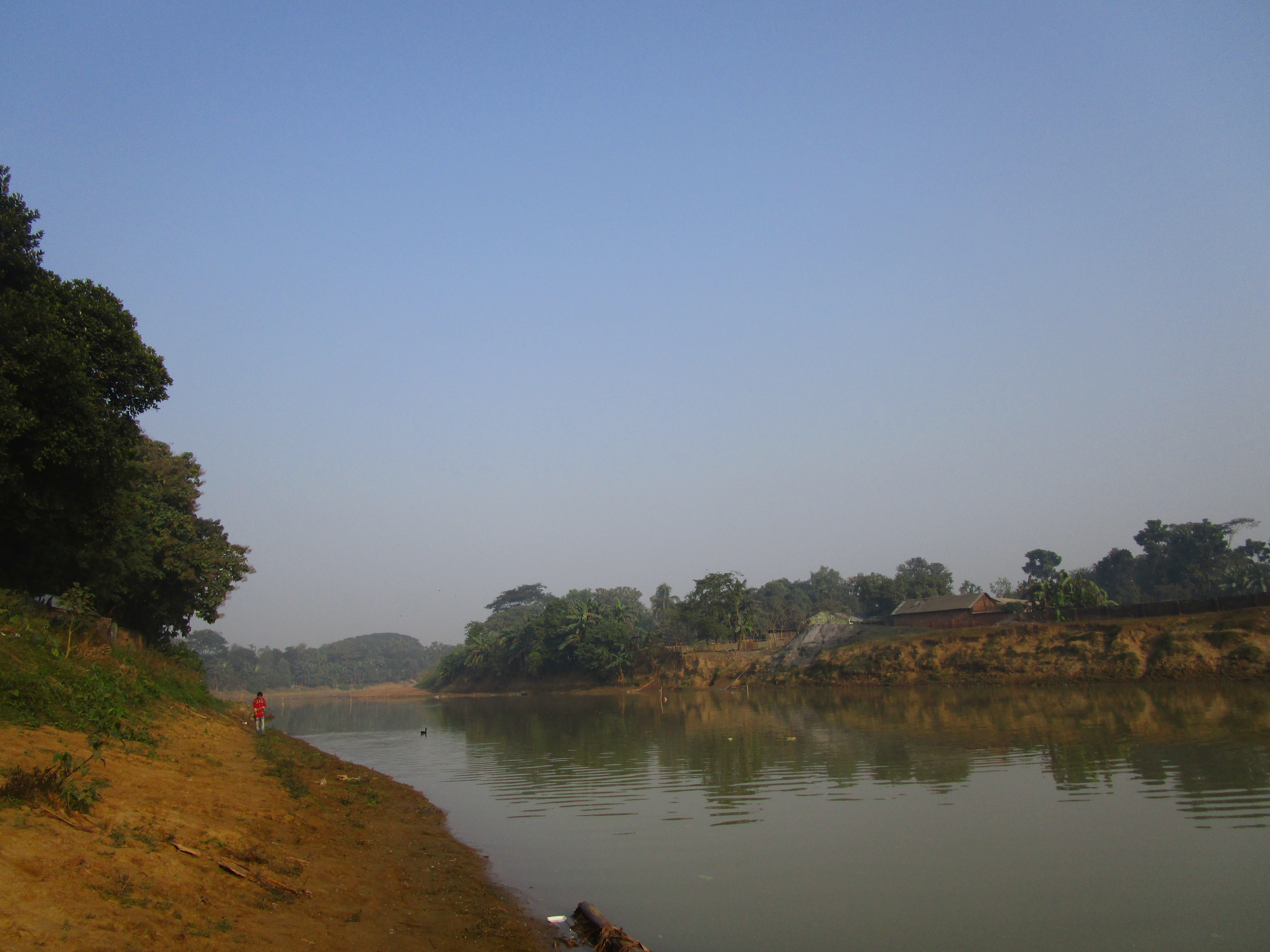
On 8 July the Flood Forecasting and Warning Centre warned that heavy to very heavy rain could cause flash floods in parts of the Sylhet, Chattogram, Mymensingh and Rangpur divisions, and Prothom Alo reported that Sherpur was among the districts at risk of short-term flash flooding.
Water Development Board executive engineer Sudipta Chowdhury told Jagonews24 that geobags had been kept ready for emergency repairs if erosion hit the river embankments. Deputy Commissioner Farida Yasmin said the district administration had made all preparations, including dry food, to deal with a sudden flood.
A border district prone to hill runoff
Sherpur, in Mymensingh division, covers 1,359.87 square kilometres. It borders India to the north, Mymensingh district to the east and Jamalpur district to the south and west. Its rivers, among them the Brahmaputra and the Bhogai, rise quickly when runoff pours down from the hills upstream in the monsoon. The district receives an average of 2,174 mm of rain a year.
In early October 2024, heavy rain and upstream runoff caused flash floods in Nalitabari and Jhenaigati upazilas. The Daily Star reported at the time that around 4,300 hectares of Aman fields and around 100 hectares of vegetable fields were damaged. In the July 2026 runoff, Jagonews24 reported, crop losses were slight because the fields were bare; the damage showed mainly on the road.
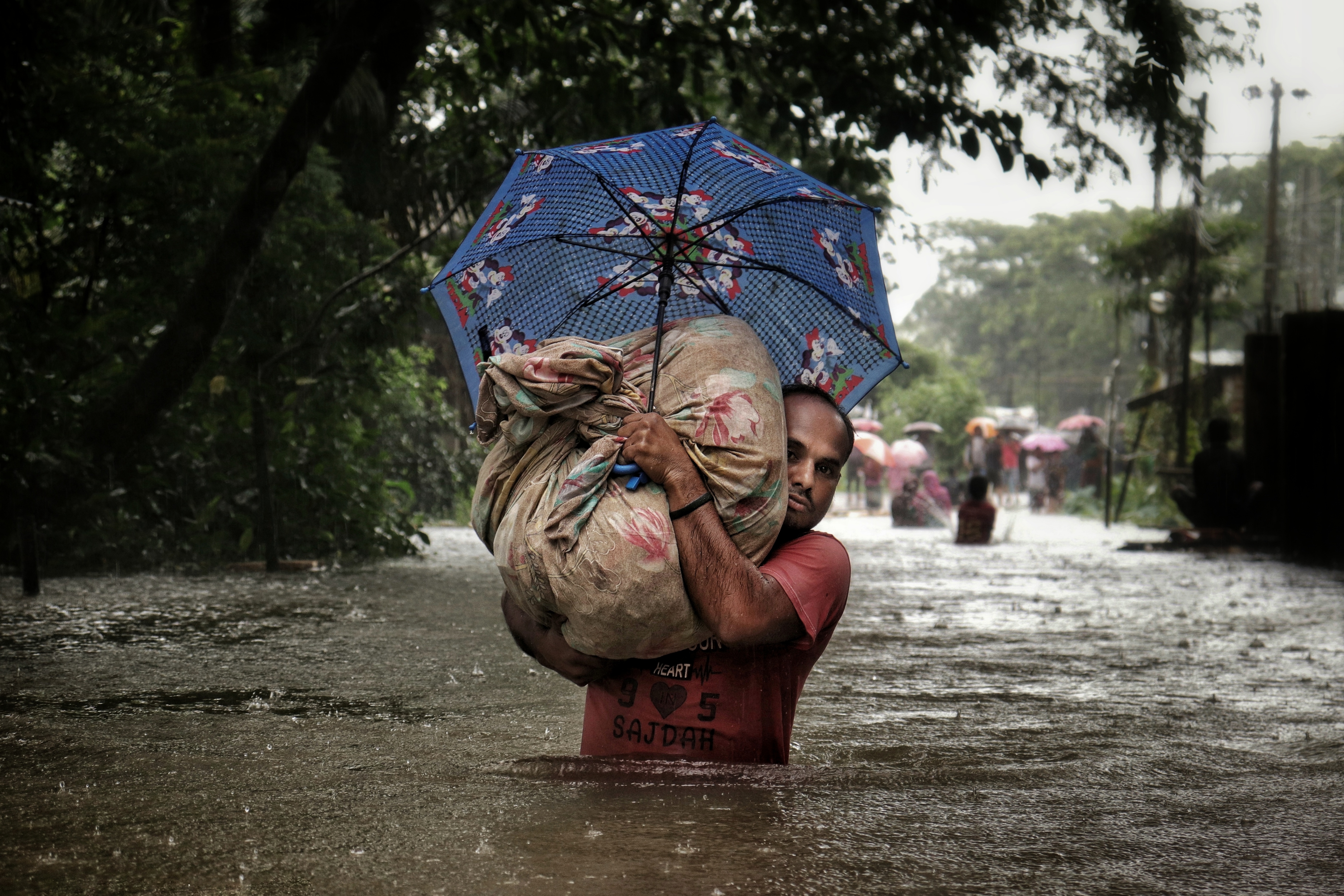
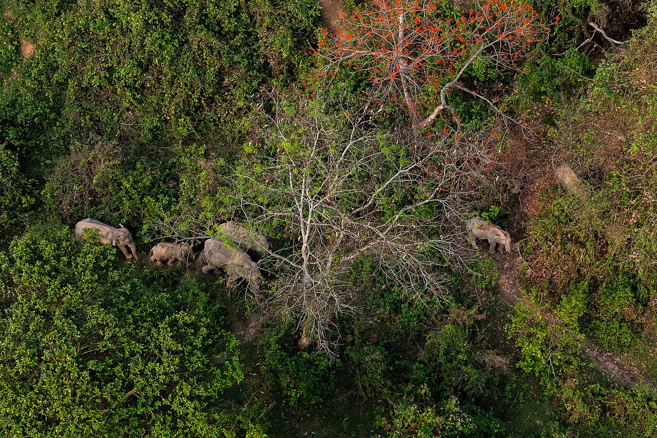
Photo: Anup Sadi / Wikimedia Commons (CC BY-SA 4.0)
Sources: Jagonews24, The Daily Inqilab, Kalbela, Prothom Alo, The Daily Star, Wikipedia (Sherpur District)

Comments
(0)