
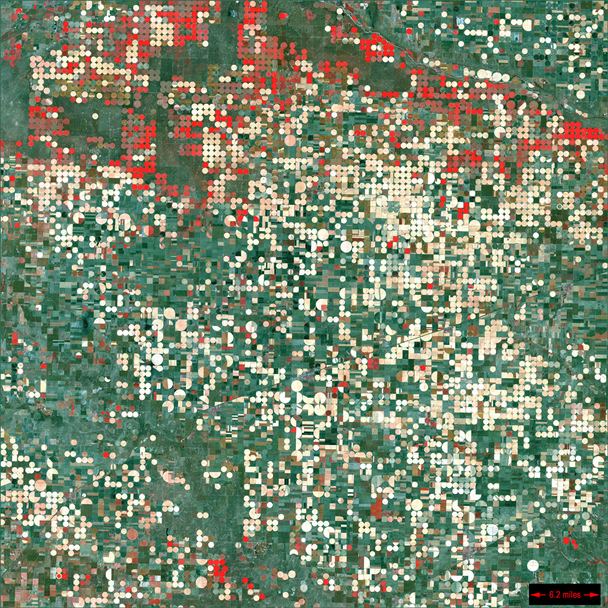
Scientists and officials from NASA visited the Flickner Innovation Farm in Moundridge, Kansas, in late August to check on a partnership with Kansas State University that tests satellite data on a working farm, Precision Farming Dealer reports from a K-State Extension account.
The stop was part of NASA's "Space for Ag" tour, which also visited farms in Texas and Oklahoma. Karen St. Germain, director of NASA's Earth Science division, said the tour aims to close the gap between what satellites see from orbit and what farmers need. NASA missions can measure how water moves from aquifers through rain into the air, above-ground biomass, crop health and type, and damage from storms such as a derecho, which can help farmers manage water and speed up insurance assessments.
The farm, run by Ray Flickner and his son Ryan, is a fifth-generation family operation that serves as a living laboratory for new technology, water conservation and data tools. Flickner said the most useful tool so far is OpenET, which uses satellite data to estimate evapotranspiration, or how much water crops use. "I've been using that to determine what I'm using in terms of water usage and what my neighbors are using," he said.
Susan Metzger, director of the Kansas Water Institute at K-State, said the aim is to get NASA's tools into farmers' hands faster: if precise forecasts show a farmer can skip an inch of irrigation next week, that water can be saved for later or left in the aquifer. Hans Coetzee, K-State's vice president for research, called water, soil health and resilience problems too complex for one institution alone.
St. Germain said NASA's link with agriculture goes back to the first Landsat satellite in 1972, and that new missions, including advanced radar and hyperspectral imagers, should reveal plant health and disease signals before they are visible in the field. The work began at the farm in 2022 and is supported by NASA Acres, the agency's US agriculture consortium.
Photo: NASA Landsat 7 / Wikimedia Commons (public domain)
Source: Precision Farming Dealer
Comments
(0)