

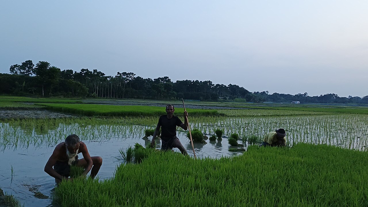
Continuous rain and water flowing down from upstream submerged more than 1,000 further hectares of boro paddy in the haor wetlands of Kishoreganj on 3 May 2026, bringing the district's total damaged area to 10,050 hectares. About 36,000 farmers were left in deep uncertainty. Dr Sadikur Rahman, deputy director of the Department of Agricultural Extension (DAE) in the district, confirmed the figures to Jagonews24 on the afternoon of that Sunday.
The losses had been climbing for days. BSS reported on 2 May that, by the afternoon of 30 April, the agriculture department had counted 6,768 hectares affected. A further BSS report on the afternoon of 3 May put officials' estimate at about 9,045 hectares. According to the Dhaka Tribune on 2 May, boro had been planted that season on 168,262 hectares across the district's 13 upazilas, 104,535 hectares of them in the haor area.
Itna and Austagram hit hardest
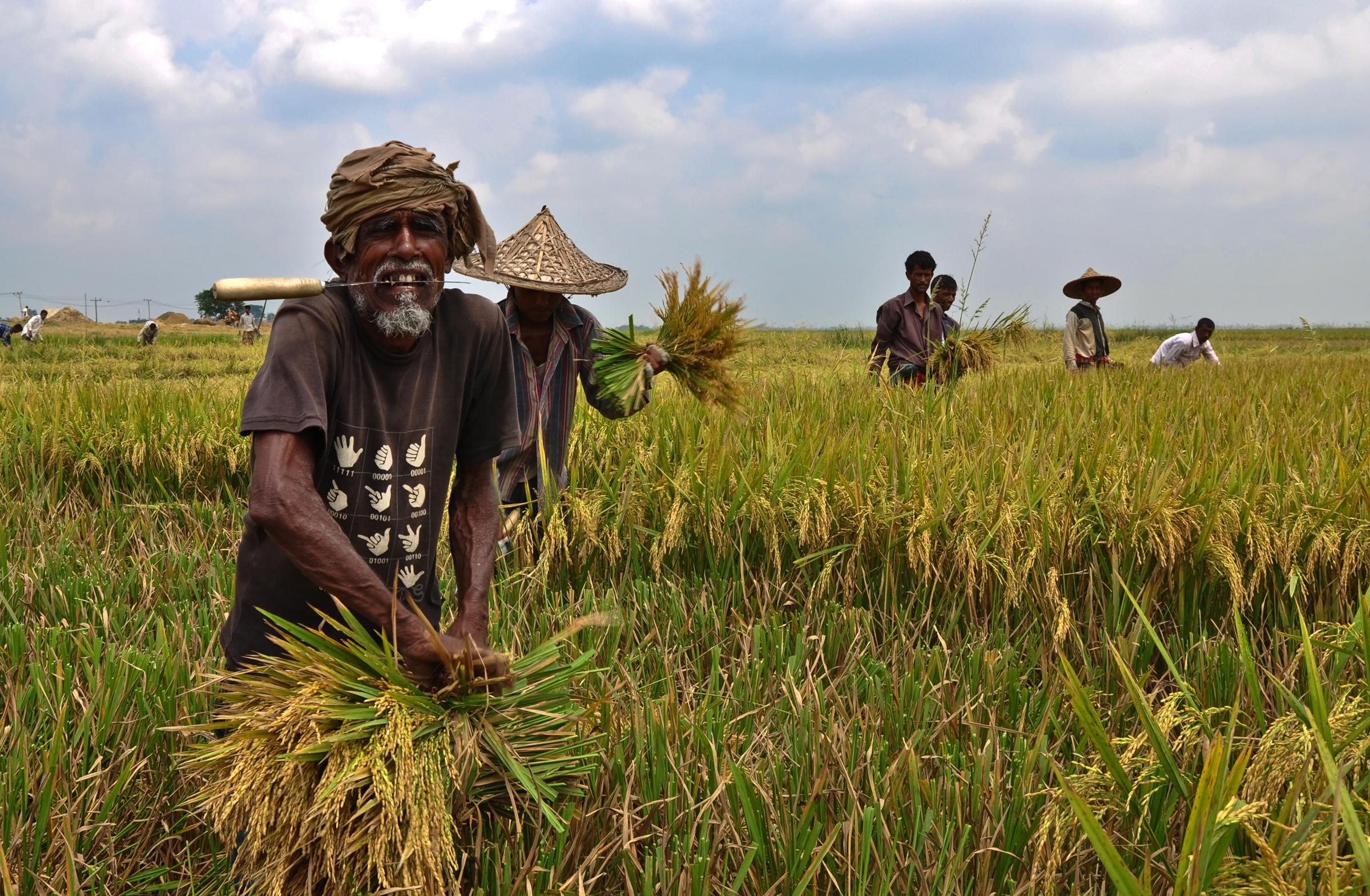
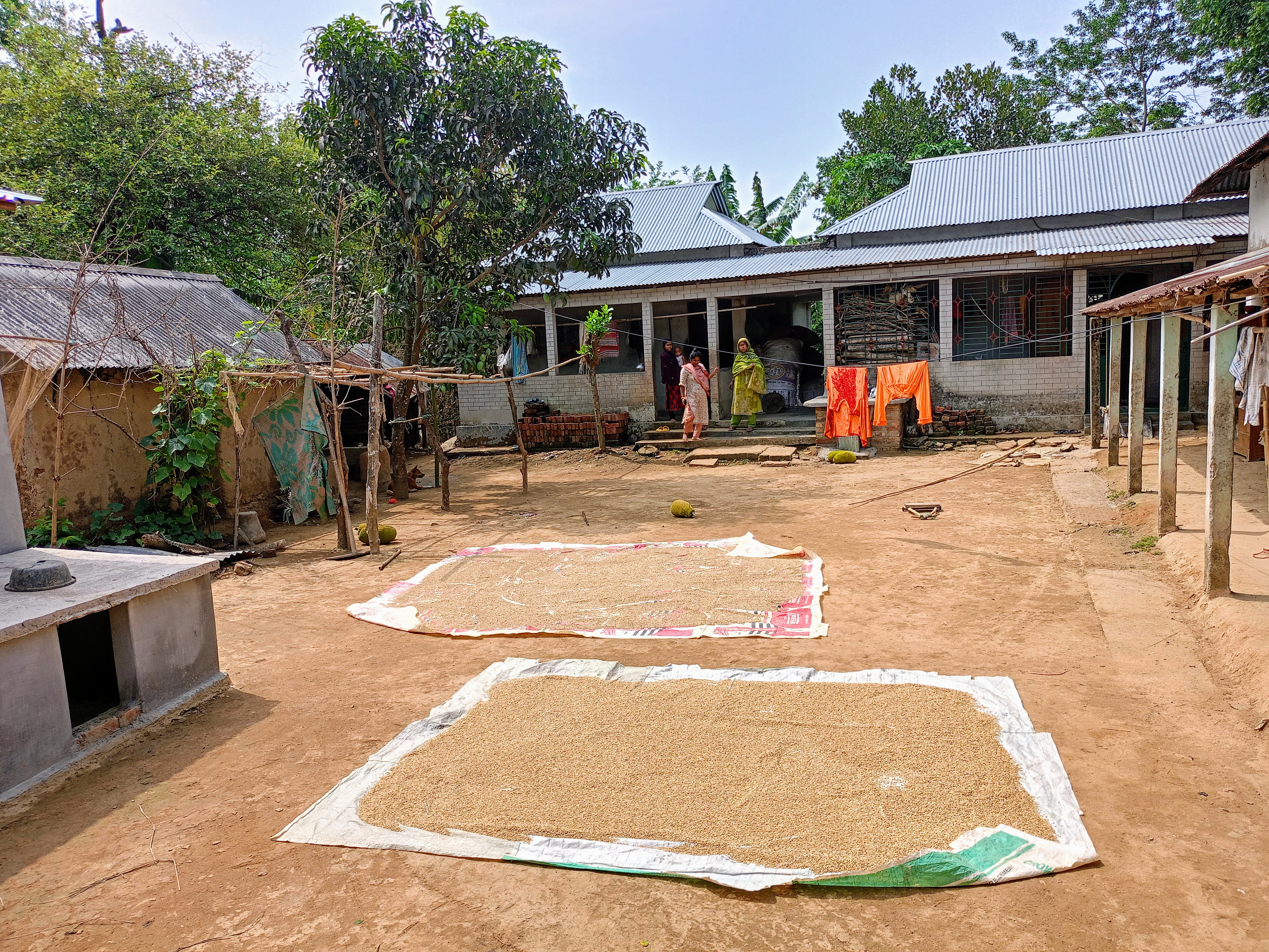
With continued rain and flash floods from the hills spreading over wide low-lying parts of the haors, Itna and Austagram upazilas suffered the most damage. Many farmers could not cut ripe paddy because it was under water. With no sunshine all day, paddy laid out on the khola, the open yards where grain is threshed and dried, could not be dried either, raising the risk that grains would sprout or rot. Vegetable fields in different parts of the district were also at risk.
Local farmers said they were in deep uncertainty because paddy on a large area had already gone under water, and many were losing money because harvested paddy could not be dried without sun. The Dhaka Tribune reported on 2 May that even a daily wage of Tk 1,200 was not drawing enough labourers to harvest the waterlogged fields.
Rainfall and river levels
The Nikli weather office said 37.2 millimetres of rain had been recorded in the district over the previous 24 hours.
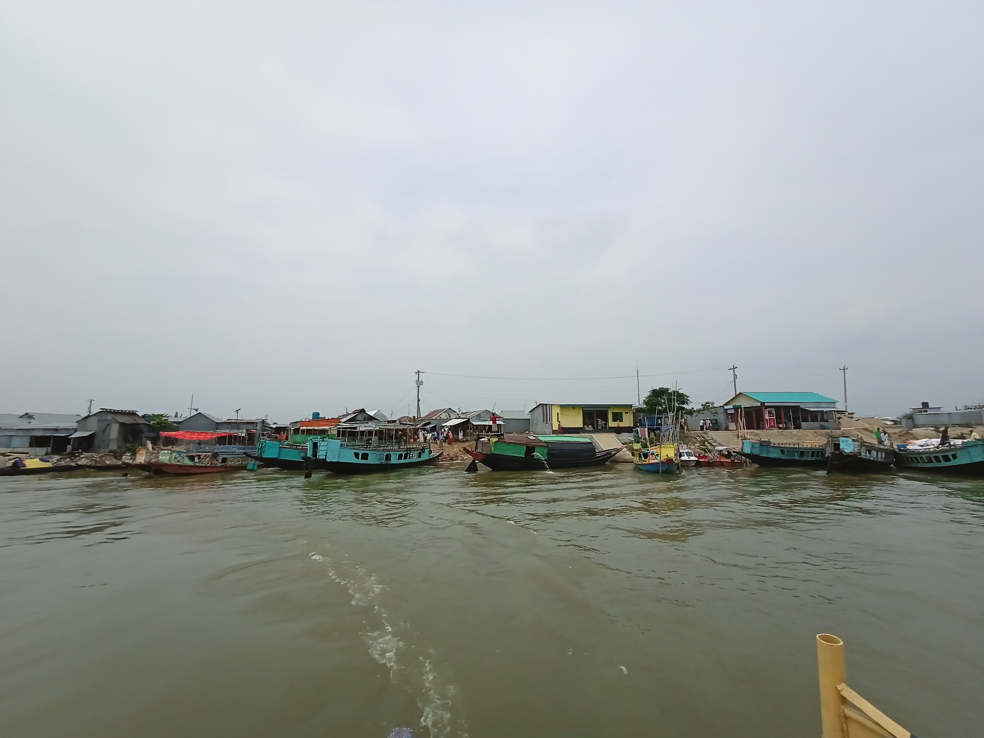
Citing the Water Development Board (BWDB), BSS reported on 3 May that the Dhanu-Baulai at the Itna point had risen 10 centimetres to 3.16 metres, and the Meghna at Chamraghat 5 centimetres to 2.78 metres. The Kalni at Austagram had fallen 5 centimetres to 2.40 metres, and the Meghna at Bhairab Bazar 3 centimetres to 1.77 metres. All rivers were still flowing 110 to 400 centimetres below their danger levels, but officials warned that water could rise further if the rain and upstream flows continued.
The Dhanu flows south from Sunamganj through eastern Netrokona and Itna upazila before joining the Meghna. Itna is one of the largest upazilas in Bangladesh by area, largely because of its vast haors. A haor is a bowl-shaped wetland in north-eastern Bangladesh that becomes a broad sheet of water in the monsoon; in the dry season the exposed land is farmed for boro rice. Rivers coming down from Meghalaya's Khasi and Jaintia hills, among the rainiest places in the world, carry large volumes of water into the basin.
Alerts and lists of affected farmers
Md Sajjad Hossain, executive engineer of the district Water Development Board, said the situation was being monitored around the clock. The local administration and farmers had been asked to stay alert to possible risks, and farmers had been advised to harvest their paddy quickly.
Dr Sadikur Rahman said field officials were preparing lists of affected farmers on the instructions of the agriculture ministry. He expressed hope that the risk of major damage would ease somewhat if the rain did not increase.
Photo: Ahad Adnan / Wikimedia Commons (CC0)
Sources: Jagonews24, Bangladesh Sangbad Sangstha (BSS), Dhaka Tribune, Wikipedia
Comments
(0)