
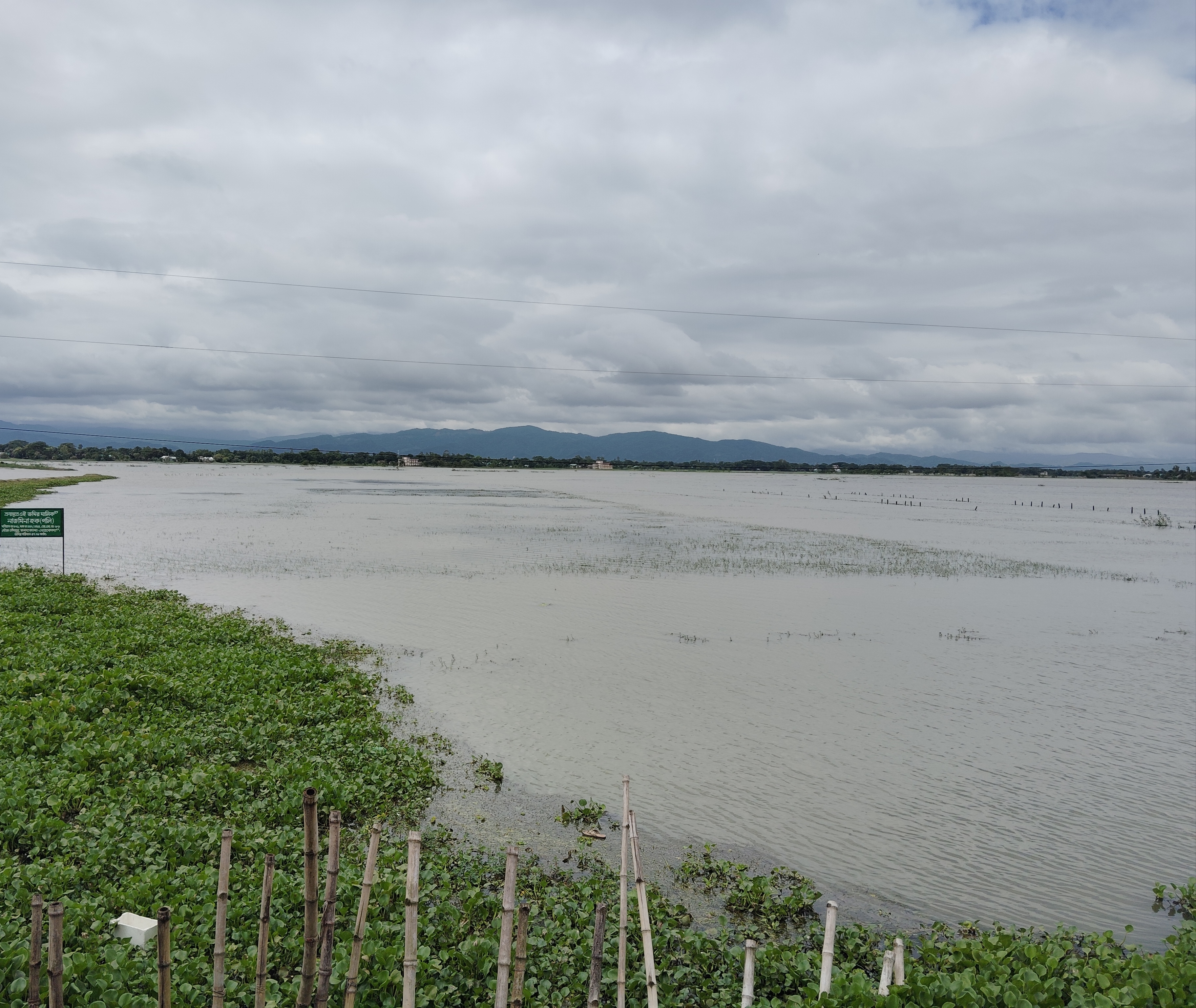
The Flood Forecasting and Warning Centre (FFWC) of the Bangladesh Water Development Board (BWDB) said on Thursday, 30 April 2026, that floods could develop over the following seven days in low-lying parts of four north-eastern districts, Sylhet, Sunamganj, Moulvibazar and Habiganj, and that the flood situation already under way in the haor lowlands of Netrokona could get worse. The warning came in the centre's seven-day conceptual forecast on flash floods in the north-east, issued while farmers across the haor wetlands were racing to bring in their boro rice, the only crop most of them grow in a year.
What the seven-day forecast said
According to the forecast, rainfall above normal was likely in the haor basin of the north-east and in the upstream areas across the border from 30 April to 7 May, with a total of 150 to 350 millimetres of rain over the period. As a result, water levels could rise in the main river systems of the basin: the Surma-Kushiyara, the Dhanu-Baulai and the Bhugai-Kangsha. That in turn could worsen the flooding in low-lying areas beside the haors in Netrokona district and cause fresh flooding in low-lying areas of Sylhet, Sunamganj, Moulvibazar and Habiganj.
The centre also described how the situation could ease. If rainfall eased towards the end of the week, it said, river levels could fall back below the pre-monsoon danger level and the flood situation could improve.
The forecast recorded what had already happened. Heavy rain since 27 April had pushed the Bhugai-Kangsha, Someshwari, Mathra and Sutang rivers above their pre-monsoon danger levels, and a flood situation was prevailing in the haor areas of Netrokona and Habiganj. Citing the Bangladesh Meteorological Department (BMD) and global weather agencies, the centre said rainfall over the north-eastern haor basin and the adjoining upstream areas had been above normal for the previous seven days.
The pre-monsoon danger level is not the mark the centre uses in the rainy season. The Business Standard, reporting the centre's bulletins on 29 April, described it as a seasonal threshold set to protect the boro crop: in April and May, the concern is the paddy still standing in the haors behind low earthen embankments.
A week of rising warnings
The 30 April forecast was the latest in a series of warnings that began more than a week earlier. On 21 April the BWDB's Sunamganj office issued a notice, signed by executive engineer Mamun Howlader, asking farmers to cut the paddy on any land where about 80 percent of the grain had ripened. The notice said that, according to the BMD and the BWDB, rainfall had increased in the upstream areas of the Surma, the Kushiyara, the Baulai and other rivers, that river levels were rising and could rise further, and that an early flood could occur at any time, along with waterlogging in the lower parts of the haors. The district office of the Department of Agricultural Extension (DAE) said that by that day boro had been harvested from 21,496 hectares of Sunamganj's haors, bdnews24.com reported.
In its regular bulletin on Monday, 27 April, the centre said moderately heavy to heavy rain had fallen over the haor basin and upstream in the 24 hours to 9am, and that heavy to very heavy rain was forecast for the next three days. It warned that low-lying areas of Sylhet, Habiganj and Moulvibazar could flood, and that by Wednesday the Surma, Kushiyara, Khowai and Juri rivers and their main tributaries could rise quickly above their pre-monsoon danger levels. At that point the Surma-Kushiyara and Dhanu-Baulai had actually fallen over the previous 24 hours, while the Bhugai-Kangsha was rising but still below its danger level. The centre's assistant engineer Mostafa Kamal Jihan told bdnews24.com that the warning covered three days, that the situation could develop from Wednesday, that this flood was linked to rainfall, and that it could improve if the rain eased.
On Tuesday, 28 April, the centre said the Surma, Kushiyara, Dhanu, Baulai, Bhugai and Kangsha had risen and could keep rising for three more days. The BWDB opened a control room to oversee the response centrally, with executive engineer Monjur Rahman in charge, and said it would collect and circulate flood information from the board's field offices until further notice. Before dawn that day an embankment had broken at Madhyanagar in Sunamganj and water was entering Ikrachhoi haor, putting boro on about 64 hectares at risk, bdnews24.com reported.
The centre's bulletin on the evening of 28 April showed how fast the rivers were climbing. The Manu at the Moulvibazar point was flowing 110 centimetres above its pre-monsoon danger level, and the Bhugai-Kangsha at the Jariajanjail point in Netrokona 28 centimetres above. The bulletin said the Manu, Khowai and Juri could cross the danger level within 24 hours, the rivers of the Surma-Kushiyara basin in Sylhet and Sunamganj on the second and third days, and the Jadukata within three days, while the Sarigoyain could reach its warning level. The Someshwari could reach its warning level on the second or third day and cross the danger level at some points, and in the Dhanu-Baulai basin of Netrokona and Kishoreganj the rivers could reach warning level, with the Baulai crossing the danger level at some points.
The BMD said rain could continue across the country, including the Sylhet region, for three to four more days, with heavy rain likely in the region for one to two days. Meteorologist Bazlur Rashid told The Business Standard that heavy rain would continue for several more days and that it was also raining in Assam and Meghalaya, upstream of the haors.
Paddy under water as the harvest ran late
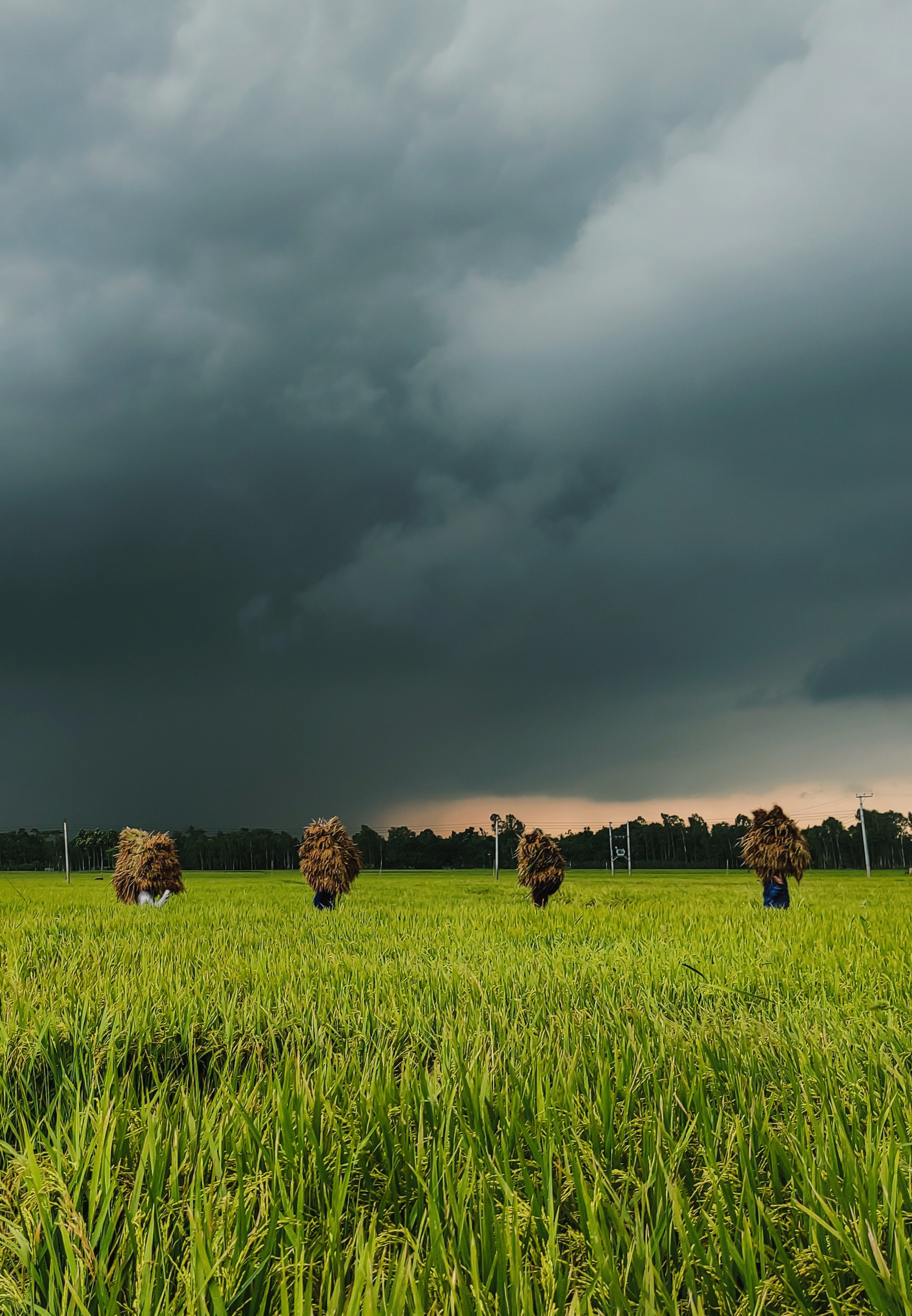
The rain arrived before the harvest was done. According to the DAE, as reported by The Business Standard on 29 April, farmers had harvested 58 percent of the paddy in the haor areas. Labour shortages and waterlogging were keeping them from cutting even ripe paddy, and about 17 percent of the standing crop was at risk of flooding. A farmer in Kadirpur haor in Khaliajuri, Netrokona, told the paper that most of his roughly two and a half acres lay under waist-deep water, and that the paddy he had already cut could not be dried.
In Sunamganj, boro had been planted on 223,511 hectares in the district's 137 haors, with a production target of about 1.4 million tonnes, Prothom Alo reported on 27 April. By Saturday, 25 April, paddy had been harvested from 78,228 hectares, waterlogging had damaged the crop on 5,050 hectares, and paddy was still standing on 145,282 hectares, about half of it not yet ripe because a dry start to the season had slowed ripening. The district had 602 combine harvesters, but waterlogging made them hard to use in many places. DAE deputy director Mohammad Omar Faruk told the paper that having a crop in the field now meant risk, and that bad weather was hampering cutting, threshing and drying; he told The Business Standard that completing the harvest could take until mid-May.
On the morning of Wednesday, 29 April, the embankment of a canal beside the Bolai river broke and water flooded the fields of Jinaria haor in Sunamganj, The Daily Ittefaq reported on 30 April. Upazila sub-assistant agriculture officer Kabir Hossain said that 8 of the haor's 26 hectares had already been under water from waterlogging before the breach, and about 3 hectares more went under after it. In Doarabazar upazila, the paper's correspondent reported that most haors, including Nainda, Kangla and Dekhar haors and Konoskai beel, had gone under in the continuous rain.
In Netrokona, boro had been grown on 41,000 hectares in the five haor upazilas of Madan, Mohanganj, Khaliajuri, Kalmakanda and Atpara. The DAE said about 68 percent of that paddy had been harvested by Wednesday and that, by its count, the crop on 3,000 hectares had gone under; local correspondents put the submerged area nearer 5,000 hectares, and farmers said only about half had been cut. In Kalmakanda, water was entering Sonadubi, Saidubi, Petki, Mohishashura, Goradoba and Angajura haors, and the upazila administration had used loudspeakers to urge farmers to finish cutting by 28 April. On 18 April, when the harvest had just begun, the district's DAE deputy director Amirul Islam had told Desh Rupantor that about 13 percent of the haor paddy was cut and that around 450 harvesters had been deployed; boro covered about 185,548 hectares across the whole district.
In Habiganj, rivers had risen across the district and ripe boro and summer vegetables had gone under in wide areas of 39 unions, Ittefaq's correspondent reported, with 125 millimetres of rain recorded in 24 hours. The Khowai was close to its danger level at Balla in Chunarughat, at Shayestaganj and at Machulia in the Sadar upazila, and the Kushiyara, Kalni-Kushiyara, Sutang and Sonai were rising fast. In Moulvibazar, low-lying areas had flooded and more than 500 people were marooned; the Juri was above its danger level and the Kushiyara, Manu and Dhalai were rising. In Hakaluki haor, the district administration said boro had been harvested on 22,409 of the 27,350 hectares targeted, or 82 percent, though farmers said the rising water was submerging ripe paddy.

Labour, machines and prices
The flood threat sharpened problems that farmers had described since the start of the harvest. Desh Rupantor reported from Netrokona on 18 April that thousands of labourers once came to the haors at harvest time from Dinajpur, Jessore, Bogura and other northern districts, but higher travel costs and other work had cut their numbers. The government and the DAE had put weight on combine harvesters, but farmers complained that fuel was not reaching remote haors and that machines stood idle in the fields. On DAE advice, more hybrid varieties had been grown in place of short-duration varieties such as BRRI dhan28 and BRRI dhan29, and farmers reported yields of 6 to 8 maunds per 10 decimals. Hybrid coarse paddy was selling at Tk 800 to Tk 820 a maund, and small farmers said that with fertiliser and diesel prices up they needed at least Tk 1,000 to avoid a loss.
The Business Standard heard the same arithmetic in Sunamganj. Farmers in Derai upazila said mill owners were buying paddy at Tk 800 a maund while a harvest worker cost Tk 1,000 to Tk 1,200, and that with fields waterlogged and roads poor, at least eight workers were needed to cut and carry the paddy of one kiar, a local measure of 28 decimals. The Sylhet DAE deputy director Md Shamsuzzaman said the government procurement price stood at Tk 1,440 a maund, that procurement was expected to begin in the first week of May, and that if the weather improved the harvest could be finished within eight to ten days. Dr Md Jamal Uddin, additional director (monitoring and implementation) of the DAE, said labour was being sent from other districts to areas at risk of flooding and support was being given with harvesters.
The haor basin and its rivers
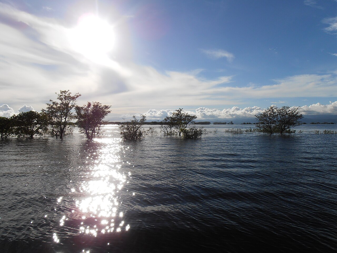
A haor is a large, bowl-shaped depression of tectonic origin that fills with river and rain water in the monsoon and largely dries out after it, Banglapedia, the national encyclopaedia of Bangladesh, explains. The word is a local form of the Sanskrit sagar, the sea. In Bangladesh haors lie mainly in the greater Sylhet and greater Mymensingh regions. The basin is bounded by the hills of Meghalaya to the north, Tripura and Mizoram to the south and Manipur to the east, and holds about 47 major haors and some 6,300 beels, of which about 3,500 are permanent. In the monsoon it floods to a depth of up to 6 metres and stays flooded for seven to eight months; in the dry season the water drains to the beels, exposing rich alluvial soil that is extensively planted with rice.
The Master Plan of Haor Area prepared by the Bangladesh Haor and Wetland Development Board in 2012 identified 373 haors in seven districts, Sunamganj, Sylhet, Habiganj, Moulvibazar, Netrokona, Kishoreganj and Brahmanbaria, covering about 859,000 hectares, around 43 percent of the area of those districts. The wider haor region covers about 1.99 million hectares and is home to about 19.37 million people, according to the plan as summarised by the Freshwater Biodiversity Portal of Bangladesh. Hakaluki haor, the largest, covers about 181 square kilometres in five upazilas of Moulvibazar and Sylhet and has more than 238 interconnected beels.
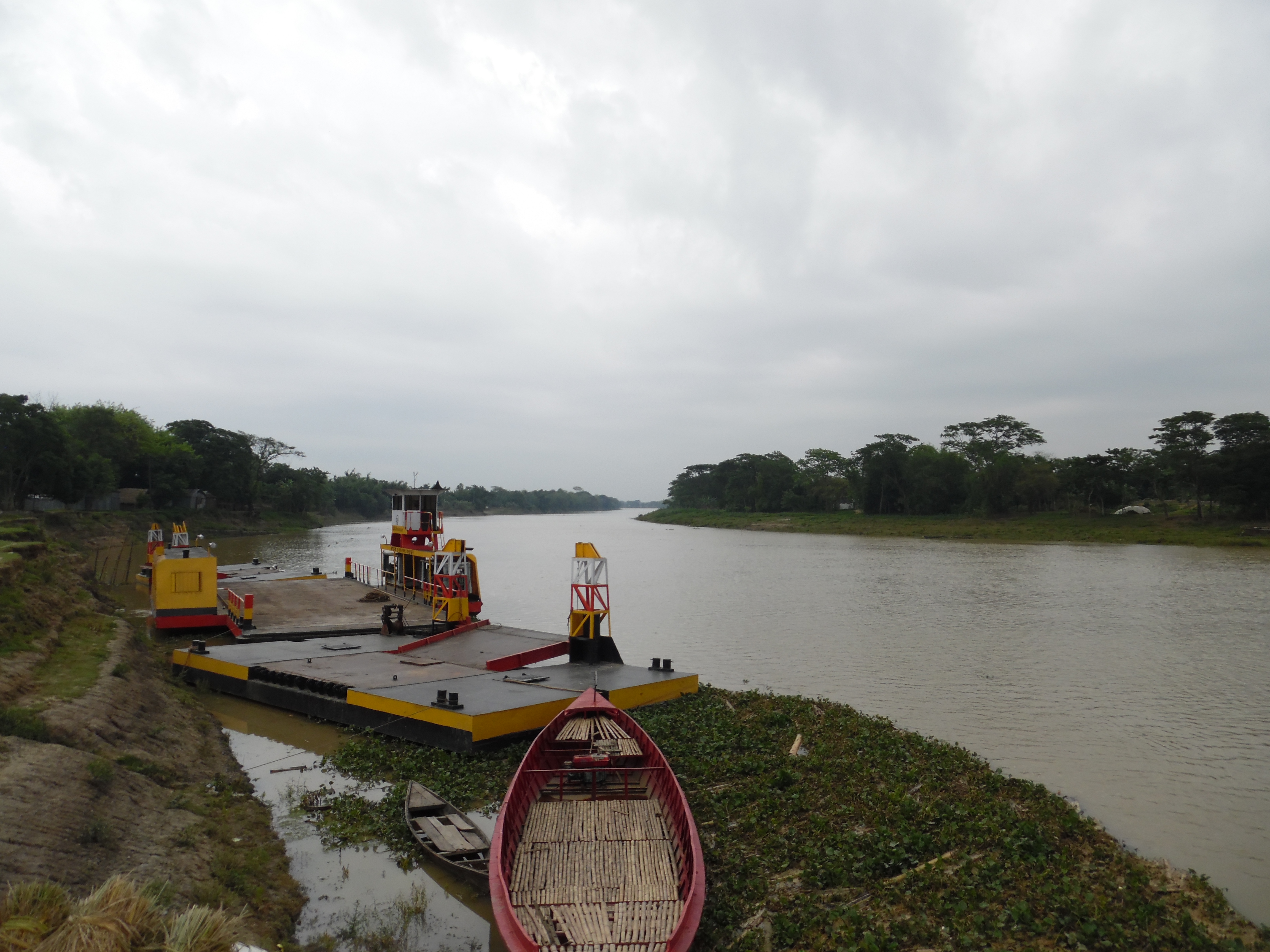
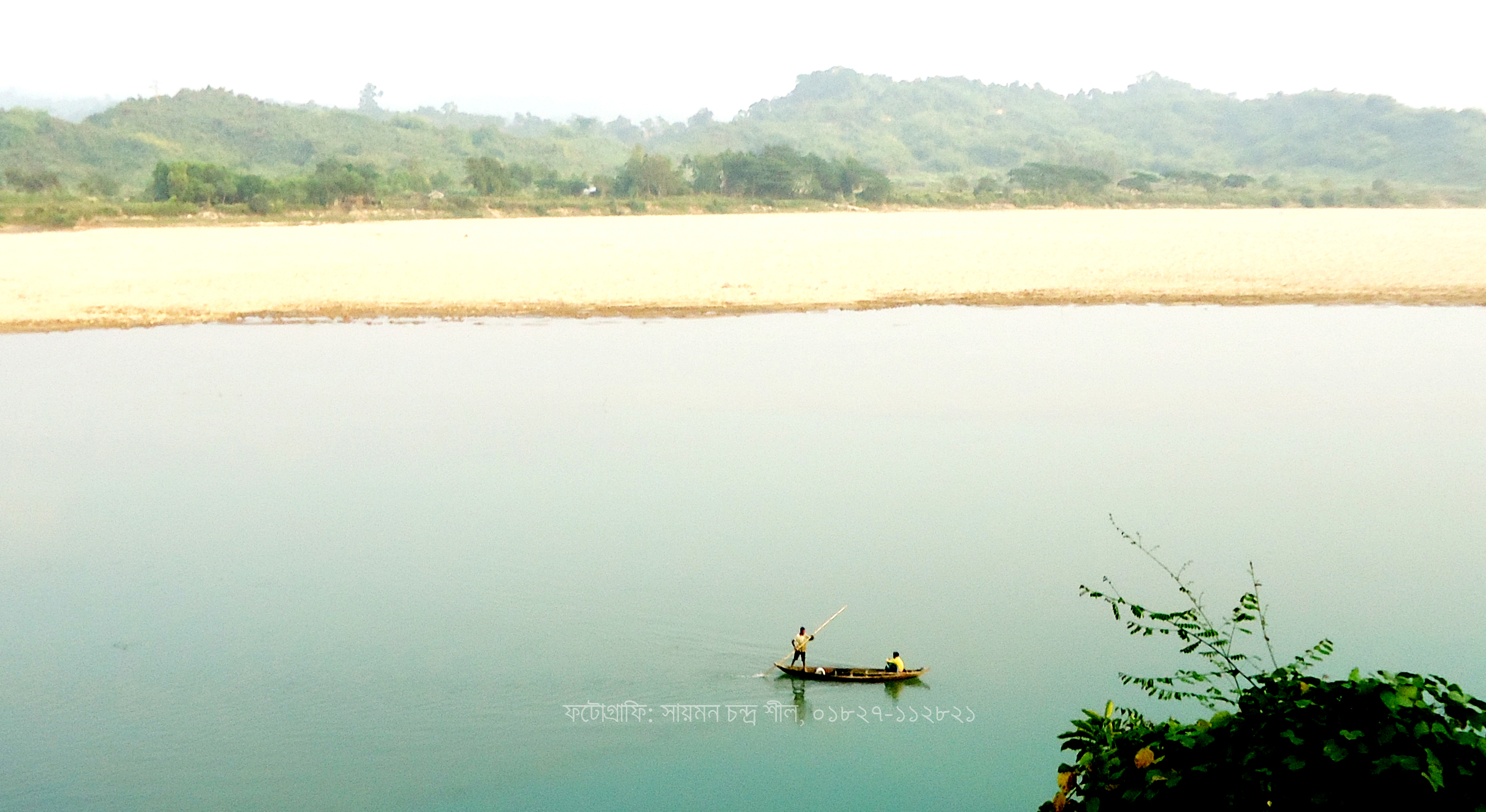
The rivers named in the forecast form one connected system. The Barak enters Bangladesh from India and splits at Amalshid in Zakiganj upazila of Sylhet into the Surma to the north-west and the Kushiyara to the south-west; about 85 percent of the Barak's flow now runs through the Kushiyara, Banglapedia says. The Surma receives a string of rivers flowing south from the Meghalaya plateau, among them the Jadukata, the Someshwari and the Kangsa. The Kangsa rises in the Garo Hills near Tura in India and, once in Bangladesh, meets the Someshwari; their joint flow is known as the Baulai. Below Mohanganj a western channel known as the Dhanu, then the Baulai and then the Ghorautra carries water south to join the Meghna near Kuliarchar. The Manu and the Khowai come from the hills of Tripura: the Manu joins the Kushiyara at Manumukh in Moulvibazar, and the Khowai enters Bangladesh at Balla in Habiganj.
Netrokona, the district the forecast singled out, covers 2,794.28 square kilometres in Mymensingh division and is bounded by Meghalaya on the north and Sunamganj on the east. Its main rivers include the Dhanu, Ghorautra and Someshwari, and Kalmakanda is the largest of its ten upazilas. Habiganj, in Sylhet division, covers 2,574.7 square kilometres and is bounded by Sunamganj on the north and the Indian state of Tripura on the south.
Why rain in Meghalaya matters
The haor farmers' greatest risk lies across the border. BWDB executive engineer Mamun Howlader told Prothom Alo, in a report published on 27 April, that rain over Cherrapunji in India created more risk for the haor paddy than rain over Sunamganj itself, because runoff from the hills floods the haors quickly; local rain causes waterlogging, but upstream rain and hill runoff fill the rivers and raise the pressure on the haors until embankments break. He told The Business Standard that heavy rain in upstream areas such as Cherrapunji could raise the rivers further and increase pressure on the haor regions.
Cherrapunji, also known as Sohra, is a town in the East Khasi Hills district of Meghalaya. It has often been called the wettest place on Earth, a distinction now held by nearby Mawsynram, and it still holds the records for the most rain in a calendar month, 9,300 millimetres in July 1861, and in a year, 26,461 millimetres between August 1860 and July 1861. Banglapedia describes the hill catchments draining into the north-east of Bangladesh as subject to flash floods that are mostly short but unpredictable in frequency and intensity; in a flash flood, water rises and falls suddenly.
Writing on 29 April, Mongabay noted that runoff from heavy rain in the Meghalaya foothills overflows through the cross-border rivers into the haors of Sylhet, Sunamganj, Netrokona and Kishoreganj, and that climate change and silting of the rivers were worsening flood impacts. It said there was already a shift in peak rainfall towards May, and that sharp, short, high-intensity rain over the haors during the pre-monsoon months of March to May was becoming more likely. It also noted that the loss of hijal and karoch swamp forest and reed beds had removed natural barriers that once slowed water entering the haors.
One crop a year and the memory of 2017
For the haor districts, boro is the year's harvest. Most of Bangladesh's rice is produced in the boro season, and around 20 percent of it comes from the seven haor districts, The Business Standard reported, citing DAE data. In the 2026 season boro was grown on 963,000 hectares in those seven districts, 455,000 hectares of it in the haors and 508,000 hectares outside them. In Sunamganj alone, agriculture officials told Prothom Alo, the district needs about 550,000 tonnes of rice a year and produces about 1.15 million, sending a surplus of about 600,000 tonnes to the national food stock; the boro grown in the district is worth about Tk 5,000 crore.
Farmers' fear in April 2026 rested on experience. In 2017 early floods and flash floods broke the embankments of Sunamganj's haors and submerged the entire crop, Prothom Alo recalled. The district faced a food shortage, rice prices rose across the country, and the government gave food assistance to about 200,000 farming families in the district for a full year. Desh Rupantor wrote that the early hill floods of 2017, 2020 and 2022 were still fresh in the minds of people in Netrokona's haors, and Mongabay recalled that the 2022 floods submerged 94 percent of Sunamganj district and more than 84 percent of Sylhet district.
Bijon Sen Roy, central general secretary of the campaign group Haor Bachao Andolon, told Prothom Alo in the same report that haor farmers contributed to national food security but could not sleep for worry about their crop, and that a planned effort was needed to meet the crisis.
Embankments and the forecasting centre
The haor crop is protected by earthen submersible embankments, built and repaired through local project implementation committees (PICs). In Netrokona the BWDB had repaired and built 146 kilometres of submersible embankment this season through 191 PICs at a cost of about Tk 31.5 crore, and its officials hoped the embankments could hold back hill floods at least until the end of April, Desh Rupantor reported. Environmentalists quoted in the same report said that taking soil from river and canal banks every year to build embankments was silting the riverbeds and reducing their depth, so that even modest rain could cause flooding, and they called for river dredging and long-term planning.
In Sunamganj the BWDB built and repaired 602 kilometres of embankment through 710 projects with an estimate of Tk 145 crore, Prothom Alo reported. Mamun Howlader warned on 26 April that rain had already weakened the soil of the crop-protection embankments and that many would not withstand the pressure if hill water came down. Mongabay reported that seven community-managed karoch forests around Pagnar haor and the Kanaikhali river in Jamalganj upazila of Sunamganj had been protecting local communities from the force of flash floods.
The Flood Forecasting and Warning Centre, which issued the 30 April forecast, was established in 1972 under the Bangladesh Water Development Board and works under the Ministry of Water Resources. It issues regular bulletins on river levels and, in the pre-monsoon season, forecasts of flash floods in the north-eastern haor basin, such as the seven-day forecast of 30 April.
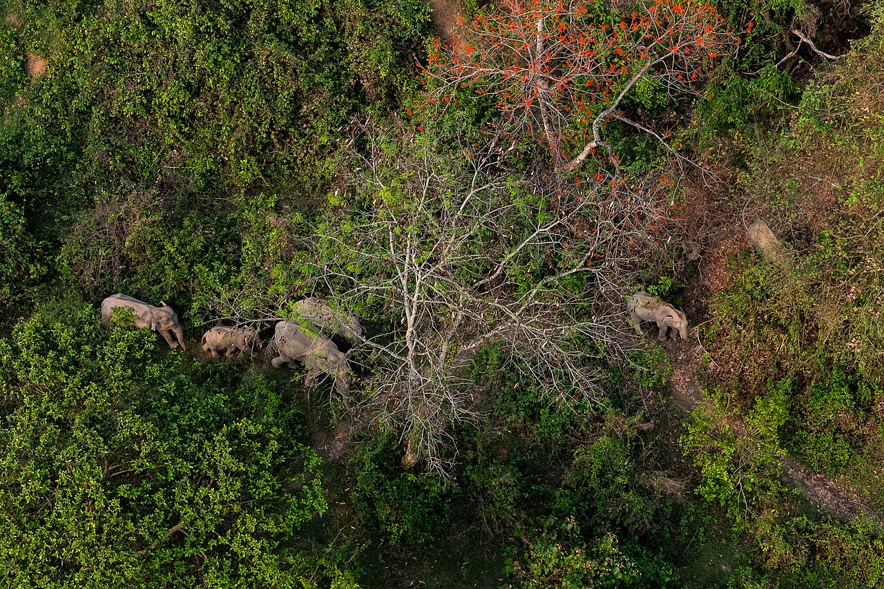
Photo: Redmin / Wikimedia Commons (CC BY 4.0)
Sources: Jagonews24, The Business Standard, Prothom Alo, bdnews24.com, The Daily Ittefaq, Desh Rupantor, Mongabay, Banglapedia, Freshwater Biodiversity Portal of Bangladesh (Master Plan of Haor Area, Bangladesh Haor and Wetland Development Board, 2012), Wikipedia

Comments
(0)