
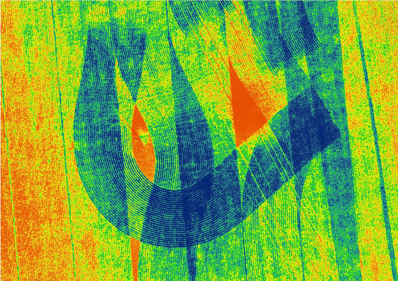
Engineers at the University of Missouri have developed FieldVision, an artificial-intelligence framework that helps fleets of agricultural drones decide where to process their image-analysis tasks: on the drone itself, at a nearby edge computing server or in the cloud.
Drones collect large amounts of useful imagery, but jobs such as crop counting, crop-health monitoring and targeted inspection need that data processed quickly enough to be useful while a mission is still under way. Drones have limited computing power and battery capacity, rural wireless connections are unpredictable, and when several drones fly at once they compete for the same bandwidth and edge servers — offloading that helps one drone can delay another.
FieldVision makes each drone an intelligent decision-making agent. Using multi-agent reinforcement learning, the drones learn when a computing task should run onboard, go to an edge server or be sent to the cloud. Centralised training with decentralised execution lets them learn about competition for shared resources in training, then decide on their own from local information once deployed.
In simulation tests, FieldVision outperformed traditional rule-based approaches and single-drone AI methods: it achieved higher rewards, missed fewer deadlines and improved reliability, while the drones worked independently without talking to one another during missions.
Farmers, agricultural researchers and organisations that use drones for precision agriculture are the most direct beneficiaries, the researchers say, because faster processing could turn aerial imagery into actionable information sooner. The same approach could help in disaster response, wildfire and flood monitoring, and infrastructure inspection.
The work was led by Mizzou investigators including Andrew Hellman, Bishwas Wagle, Alicia Esquivel Morel, Juan Mogollon, Jianfeng Zhou, Kannappan Palaniappan and Prasad Calyam, with collaborators at Florida Gulf Coast University, Stony Brook University and the University of Memphis, and was supported by the National Science Foundation.
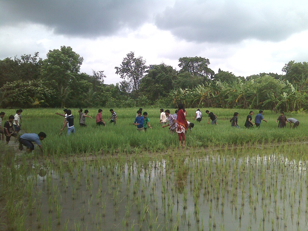
Photo: Antarsih / Wikimedia Commons (CC BY 4.0)
Source: Precision Farming Dealer

Comments
(0)