
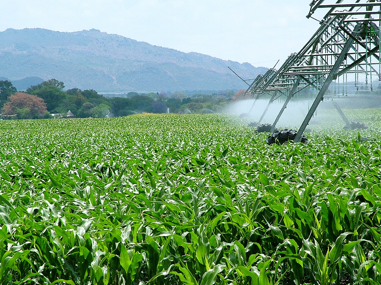
The South African Weather Service (SAWS) confirmed on 1 September that the current El Nino is strong and likely to strengthen in spring, with sea surface temperatures in the east-central tropical Pacific possibly more than 3C above average. Below-normal rainfall and above-normal temperatures are likely over most of South Africa from October to December 2026, with a similar pattern for November to January.
The Southern African Development Community's outlook of 28 August broadly agrees and indicates drier conditions over parts of the country from January to March 2027. Other drivers, including the Indian Ocean Dipole, will also shape the season.
SAWS has counted 14 El Nino events since 1979, three of them very strong: 1982/83, 1997/98 and 2015/16. The first and last brought widespread drought, but in 1997/98 parts of the summer rainfall region had slightly above-normal rain. El Nino shifts the odds, Farmer's Weekly notes, but does not fix the outcome on a farm.
Rain totals are only one measure. The start and spread of the rains, the length of dry spells and the end of the season all affect crops and veld, and higher temperatures raise evaporation and water demand, so rainfall has to be read with soil moisture and stored water. Farmers are advised to treat the outlook as one layer of information and to combine it with shorter-range forecasts and what they see on the farm as decisions approach.
The Department of Agriculture noted on 2 September that above-normal rain in 2025/26 had improved dam levels and soil moisture in most summer rainfall areas, while winter rainfall areas were short. It advised producers to follow SAWS updates and to plan soil-moisture conservation, planting windows, cultivar choice, grazing and livestock water. The report is by Zunel van Eeden.
Photo: Lotus Head / Wikimedia Commons (CC BY-SA 3.0)
Source: Farmers Weekly South Africa

Comments
(0)