
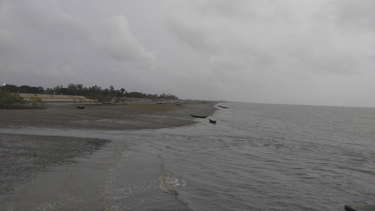
Mohammad Alam of Tablerchar in Ali Akbar Deil union, Kutubdia upazila, served three terms as a union parishad member. His homestead first went into the sea after the 1991 cyclone, then again, until all his land was gone. Now past 70, he has lived for 16 years with his family at Kutubdiapara beach in Cox's Bazar town, about 100 kilometres away. Hundreds of people like him have moved to the town, hill areas and state land after losing homes to erosion, Ajker Patrika reports.
Scientists at the Bangladesh Oceanographic Research Institute (BORI) and Water Development Board officials say erosion has grown since 2021, from Kutubdia, Matarbari and Dhalghata in Maheshkhali through Cox's Bazar town to Shahporir Dwip in Teknaf. Dunes and tamarisk forests are disappearing and homes, roads and buildings are at risk. But there is no consolidated, up-to-date data on how much land has gone, how fast erosion has accelerated, or whether waves, tides, storm surges or sea level rise matter most.
Between June and 2 November this year, warning signals were raised at the sea ports at least 12 times for bad weather, and in places tides topped embankments and flooded settlements. Abu Sharif Md. Mahbub-E-Kibria, head of BORI's marine environment and climate change division, blames climate change and global warming. His 2024 research found plastic in several layers of the town's dunes, weakening the sand's cohesion, worsening erosion and preventing dunes from rebuilding. BORI senior scientific officer Mohammad Zakaria said most of the natural streams that carried water from the hills to the sea have disappeared.
The Water Development Board built barriers of sand-filled geobags, but most have torn and sunk. An air force base at Nazirartek, Motel Shaibal, the international cricket stadium, the Marine Drive, the Matarbari power plant and homes in Kutubdia are at risk. Some 500 acres of Sabrang Tourism Park have been lost in a few years, and deep holes have formed under the water along about 40 kilometres of beach from Nazirartek to Patuartek.
Research adds to the concern. A study in the Turkish Journal of Remote Sensing, published on 30 December 2025, found 47.65 percent of a 72.46-square-kilometre stretch from Nazirartek to Inani at high erosion risk. Another, in July 2025, analysed satellite images from 1989 to 2024 and found 1,085 hectares lost on the Cox's Bazar-Teknaf coast against 284 hectares of new land built up. Research by CEGIS shows the sea rising by an average of 5.05 millimetres a year at Cox's Bazar and 7.5 millimetres at Maheshkhali.
BORI director general Commodore Sheikh Shahid Ahmed said more research is needed to establish how far the sea has risen on the coast, and that tackling climate change needs a coordinated effort. The report is by Ajker Patrika's Cox's Bazar correspondent Mainuddin Shahed.
Photo: Thomas Faraday / Wikimedia Commons (CC BY-SA 4.0)
Source: Ajker Patrika

Comments
(0)