
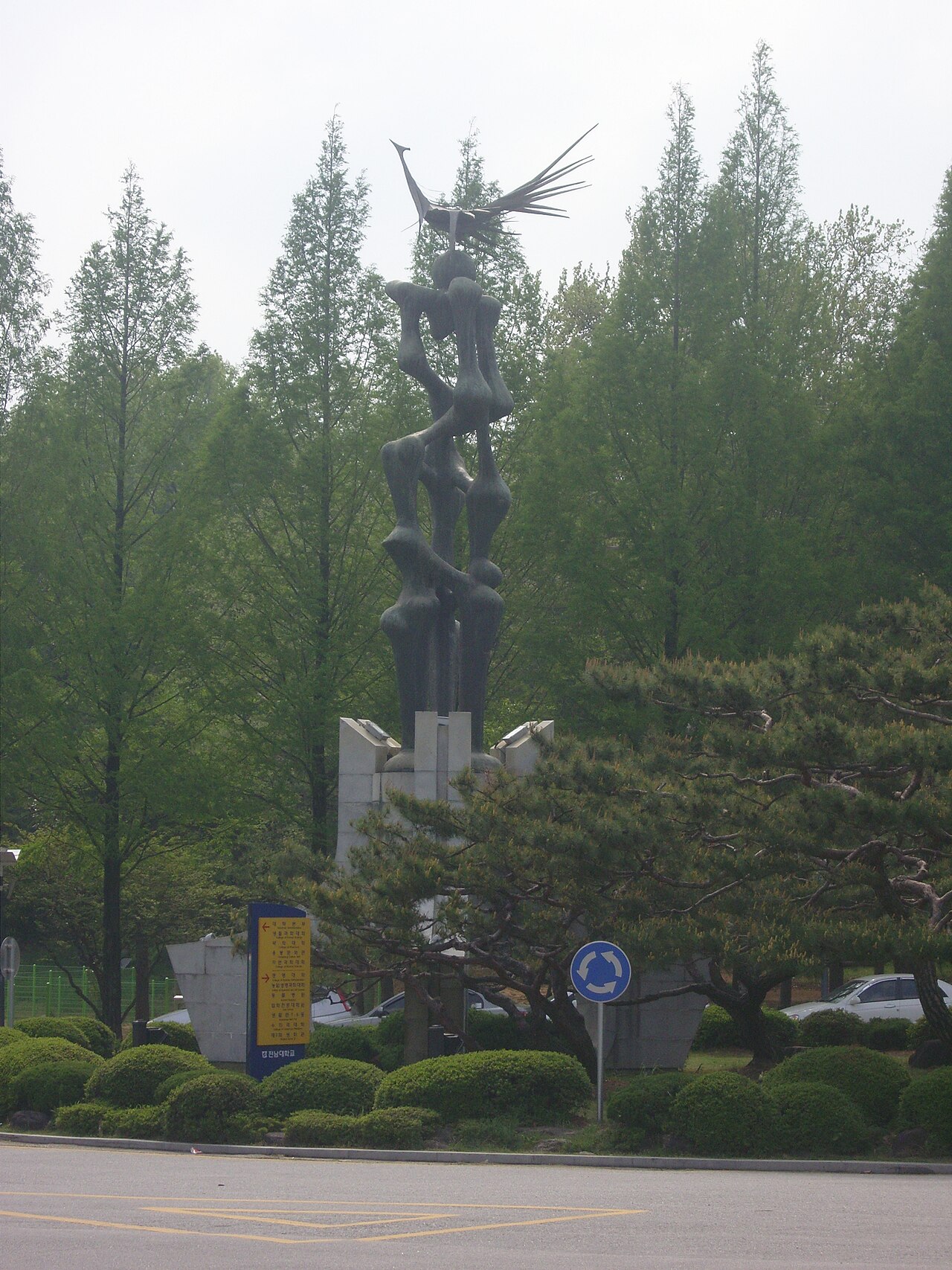
Researchers at Chonnam National University in South Korea have developed an artificial-intelligence system that combines drone imagery with LiDAR data from ground robots to map orchards, a step towards robots that can work reliably under dense tree canopies.
Orchards are hard to map: drones see the canopy from above but miss what lies beneath, and ground robots with LiDAR sensors capture three-dimensional detail but lose navigation accuracy when satellite signals weaken under foliage. The new system uses deep learning to match tree rows, canopy shapes and open spaces seen by both, aligning the two datasets into a multilayer digital orchard model.
In tests the system located robots to within a few centimetres, worked across seasons, reduced long-term positioning errors better than conventional methods and ran in real time on compact devices. The study appears in volume 16, issue 2 of Artificial Intelligence in Agriculture.
"By integrating what a robot sees on the ground with an aerial map, our system can help agricultural robots work reliably in orchards," said Professor Kyeong-Hwan Lee of the Department of Convergence Biosystems Engineering, who sees such models becoming living digital twins of farms that help growers adapt to seasons and produce food more efficiently.
Photo: Wikicnu / Wikimedia Commons (CC BY 3.0)
Source: Farms.com
Comments
(0)