
Researchers at the University of Cambridge have built an artificial intelligence tool that identifies crops on small, irregular smallholder plots from satellite images with 84 per cent accuracy while needing little labelled field data. The tool, Tessera, was tested with the World Food Programme in Senegal's groundnut basin, where farmers grow groundnut alongside millet, sorghum and other staples.
Most AI crop classifiers need large amounts of ground truth, fields where the crop is already known, and such data are scarce and costly across the smallholder systems of much of Africa and South Asia. That is one reason satellite crop monitoring has reached these regions more slowly than large mechanised farms in North America and Europe.
Tessera is a foundation model: trained first on a very large amount of general satellite data, it can then be adapted to a task with far less new data. It reads a full year of imagery for each 10-metre patch of land, how its reflectance shifts through planting, growth and harvest, and compresses that into a numerical summary called an embedding. Simple, lightly calibrated algorithms then sort the embeddings into crop types.
Tested on imagery from 2018, 2019 and 2021, it classified crops correctly 84 per cent of the time and beat the next-best model by 28 per cent in one scenario, using a fraction of the computing power. It also held up when trained on one year and applied to another, which matters where field boundaries and crops change between seasons.
The team in Cambridge's Department of Computer Science and Technology was led by Madeline Lisaius with S. Keshav, A. Blake and C. Atzberger, and the work was funded by UK Research and Innovation and Mantle Labs.
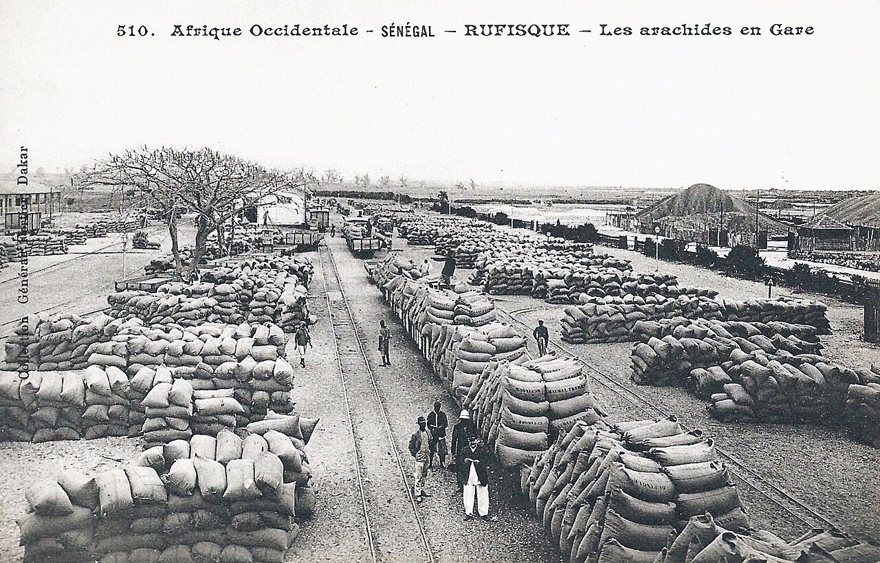
Photo: Francois-Edmond Fortier / Wikimedia Commons (public domain)
Source: Global Agriculture

Comments
(0)