
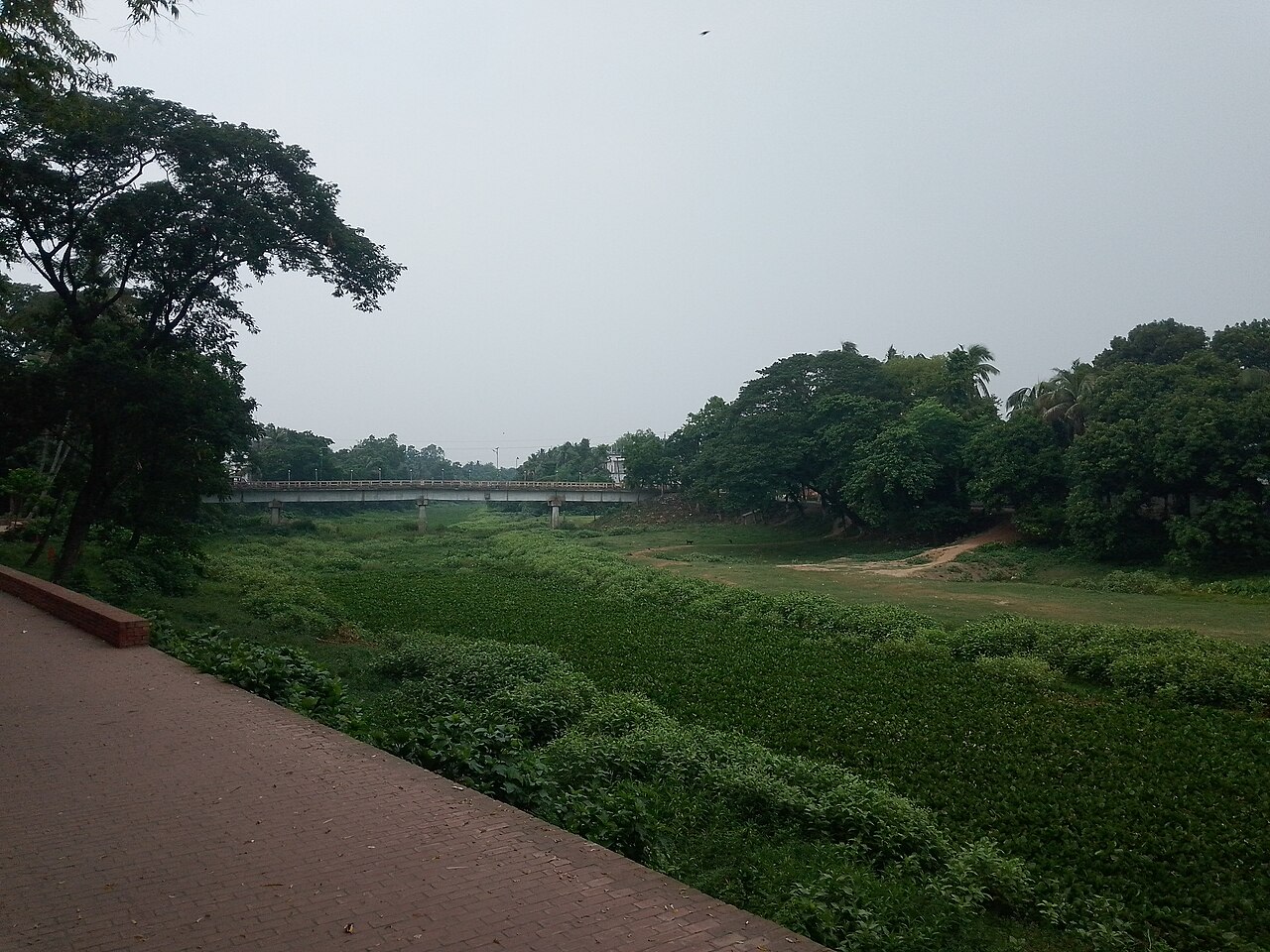
Much of the 12 rivers that flow through Jhenaidah's six upazilas is now close to dead, squeezed by encroachment, silting, pollution and dams built across their sources. Once fast-flowing rivers such as the Nabaganga, Chitra, Kumar, Gorai, Ichamati, Dakua and Kapotaksha are narrowing, and both their flow and the water they can hold are shrinking.
According to the district administration, the 12 rivers cover 1,641.75 hectares in all. In places shops and houses have been built on the riverbed, in others newly formed chars have been taken over for farming, and elsewhere brick kilns and other structures stand on the banks.
Large boats once sailed the Nabaganga through the district town. Today cattle and goats graze in it, rice is grown in parts of it, and rubbish has piled up on its bed. Local people say that, under the protection of influential people, the banks are first filled with earth or sand, and tin sheds, shops or concrete buildings follow.
Farming is paying the price. With less water flowing, irrigation has been disrupted in many areas. As rivers and canals fill up and can hold less monsoon water, the risk of waterlogging on cropland is rising, and the habitat of fish and other aquatic life is shrinking.
People living along the rivers say eviction drives are announced from time to time but are not kept up, so encroachers return to the cleared land. They want regular monitoring and legal action alongside evictions.
Mizanur Rahman, a member of the district river protection movement, said reviving the rivers means first removing the dams at their sources, dredging from source to mouth, and keeping them free of encroachment and pollution. Deputy Commissioner Md Noman Hossain said drives would be run to clear the rivers and that money for dredging was coming soon.
This report is based on information from Krishi Shomoy's Jhenaidah correspondent.
Photo: Yahya / Wikimedia Commons (CC BY-SA 4.0)
Source: Krishi Shomoy

Comments
(0)