

Mawsynram, in the East Khasi Hills district of India's Meghalaya state, recorded 530 millimetres of rain in just 24 hours amid continuous heavy rain, Jagonews24 reported on 21 June 2026, citing India Today North-East. Experts quoted in the report said such unusual upstream rain could quickly raise the rivers along the border in north-eastern Bangladesh, in the Sylhet and Mymensingh divisions, and create a flood risk.
Indian meteorologists said the rain that fell on Mawsynram in a single night matched what dry cities such as Jodhpur or Bikaner in Rajasthan receive over more than six months.
Rainfall across Meghalaya
Other parts of the state also received heavy rain, according to India's weather department. RKM Sohra recorded 470mm and Mawkyrwat 390mm. Shella had 100mm, Williamnagar and Mawryngkneng 90mm each, Jowai 80mm, and Barapani and Ratacherra 70mm each.
Mawsynram is a settlement 69 kilometres from Shillong, the state capital. It receives the highest rainfall in India and is often described as the wettest place on Earth, with an average of 11,872mm of rain a year. On 17 June 2022 it received 1,003.2mm in 24 hours, its highest single-day total on record.
The report noted that the India Meteorological Department (IMD), in its seasonal forecast released in May, had expected below-normal monsoon rain for India as a whole from June to September, but normal rain for the north-east, including Assam and Meghalaya. The downpour came at the start of the monsoon season.
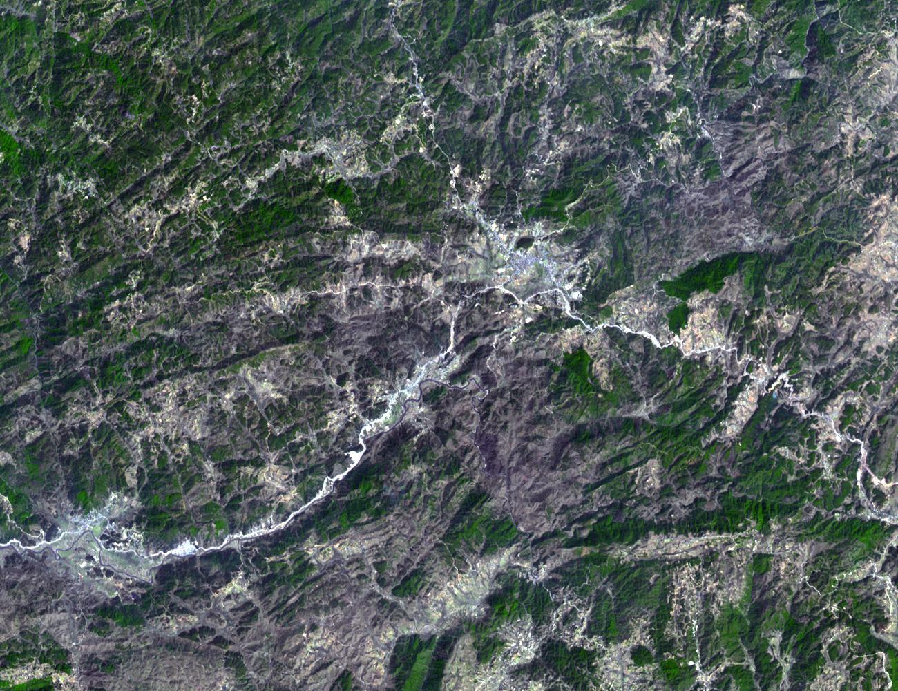
Shillong-Dawki highway section washed away
The rain also damaged infrastructure. Part of the national highway linking Shillong with Dawki, on the India-Bangladesh border, was damaged. District officials said rainwater washed away a section of the road below Laitlyngkot, a town about 35 kilometres south of Shillong.
No one was hurt, but road links with Dawki were cut and traffic on the route was expected to suffer. Teams from the National Highways and Infrastructure Development Corporation Ltd (NHIDCL) and contractors set to work restoring the connection, while the authorities kept a close watch on the weather as the effects of the rain grew across the state.
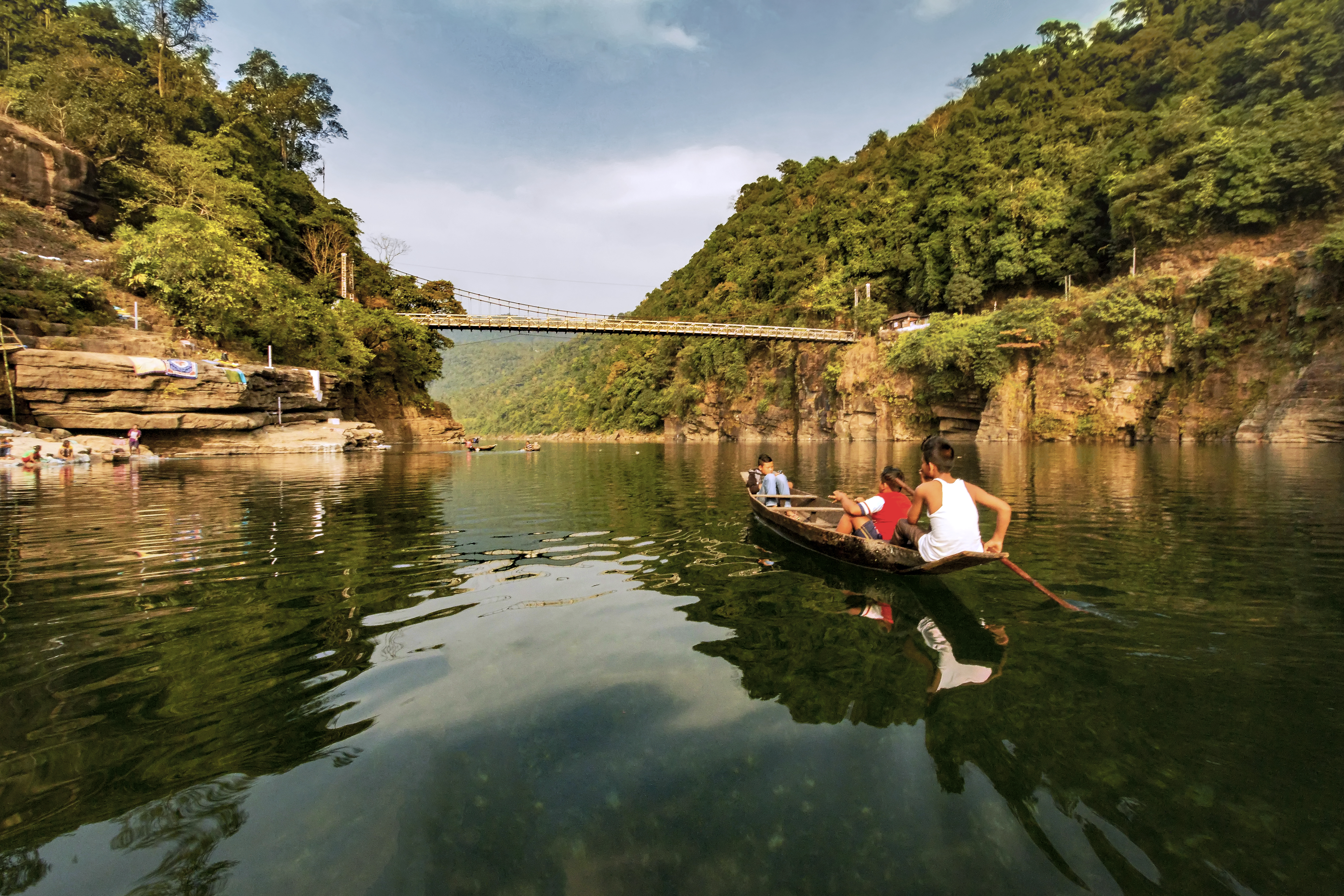
Why it matters for Bangladesh's haor region
Meghalaya borders Bangladesh's Mymensingh and Sylhet divisions to the south. Experts told Jagonews24 that water running off Meghalaya's hills flows into the rivers and haors of Sylhet, Sunamganj, Netrokona and Moulvibazar, so continued heavy rain upstream could make border rivers rise fast.
A haor is a bowl-shaped wetland that fills with river and canal water in the monsoon and becomes a vast sheet of water. The haor basin spreads over Sunamganj, Habiganj, Moulvibazar, Sylhet, Kishoreganj and Netrokona. Its main rivers are the Surma and the Kushiyara, and tributaries such as the Jadukata, Piyain and Kangsha carry large volumes of water down from the Khasi and Jaintia hills. In the dry season farmers grow boro rice on the exposed land; in the monsoon the haors become breeding grounds for fish.
According to the report, no formal flood warning had been issued at the time. Experts said, however, that several hundred millimetres of rain in a short time was a concern for the north-east, and that if similar rain continued in the following days, low-lying and haor areas could face flash floods or waterlogging. The region has faced this before: floods that began in May 2022 affected more than nine million people in north-eastern India and Bangladesh.
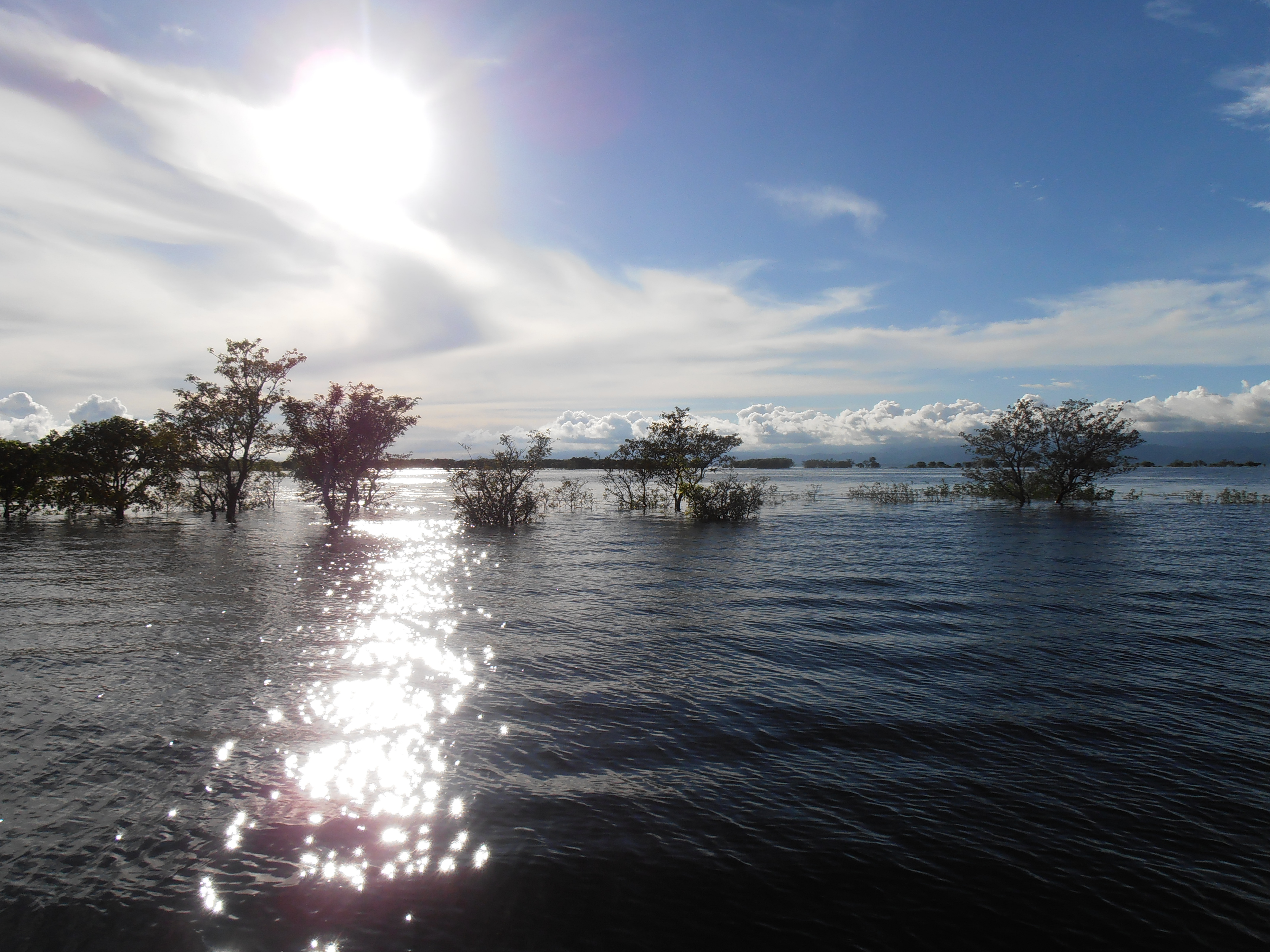
Photo: Donvikro / Wikimedia Commons (CC BY-SA 4.0)
Sources: Jagonews24, Newspoint, Wikipedia (Mawsynram, Meghalaya, Haor, 2022 India-Bangladesh floods)

Comments
(0)