
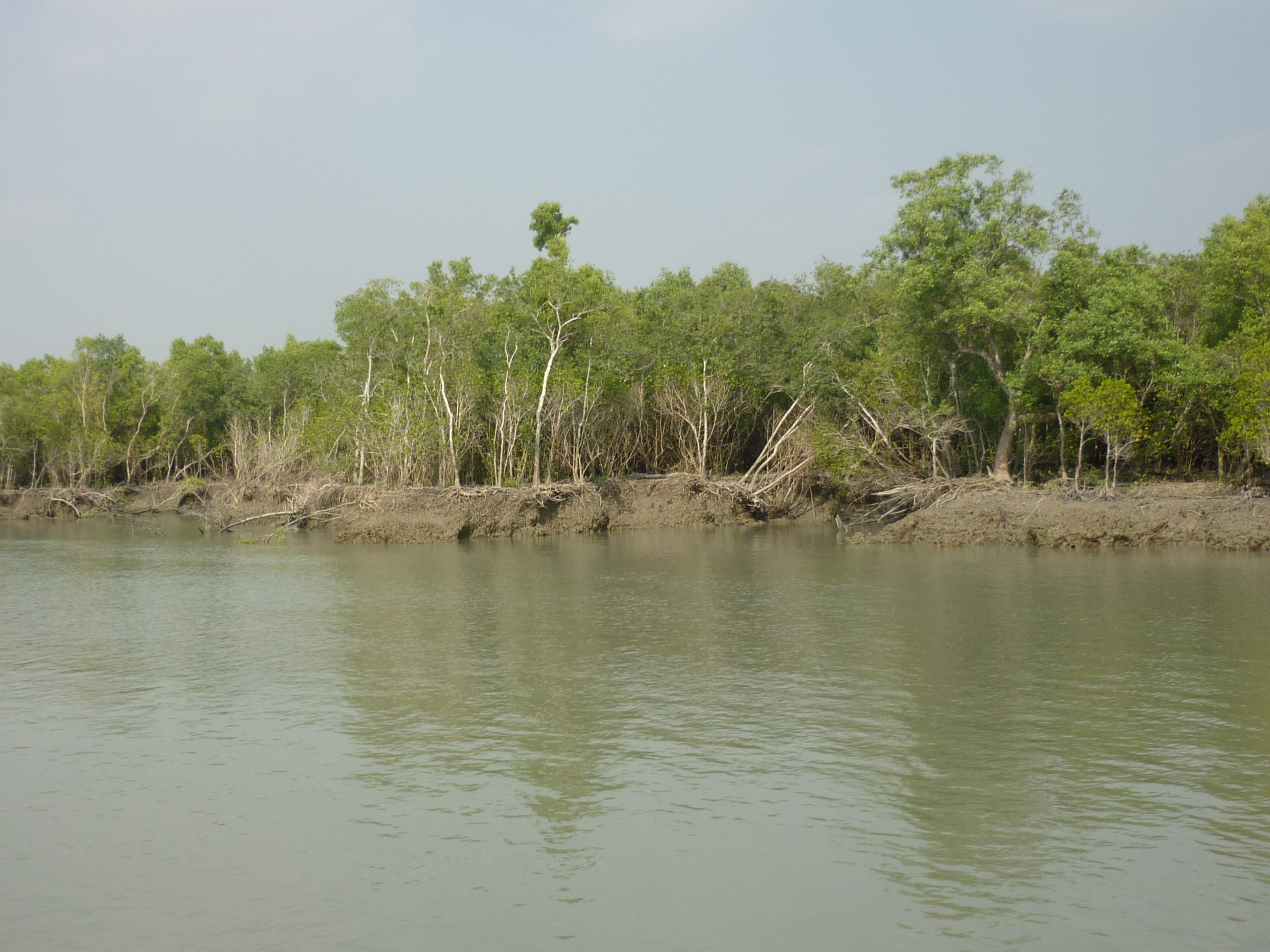
The government had set a target of raising the country's tree cover to 25 per cent and its forest cover to 16 per cent by 2030, Environment, Forest and Climate Change Minister Md Shahab Uddin told parliament on Wednesday, 13 September 2023. He gave the figures in a written reply to a question from MP Nasrin Jahan Ratna, tabled during the sitting that began at 4pm with Speaker Shirin Sharmin Chaudhury in the chair.
In the same reply the minister set out where the country stood, which plantations the Forest Department planned for the 2023-24 financial year and under the Eighth Five-Year Plan, and what had been planted since 2009-10. Answering a separate question from MP Nizam Uddin Hazari, he said the environment ministry had not yet taken any direct programme to protect children from extreme heat, but that the National Adaptation Plan (NAP) 2023-2050 included research and awareness work on heatwaves, heat stress and heatstroke.
Where the country stood: 22.37 and 14.1 per cent
According to the minister, analysis of 2015 satellite images showed that tree-covered land made up 22.37 per cent of Bangladesh's total area, while forest cover stood at 14.1 per cent of the country's land area. He said the Forest Department was running block, enrichment, mangrove and homestead plantations, among others, under several projects. The stated aims were to counter the harmful effects of climate change, reduce carbon already emitted to the atmosphere, build a green belt along the coast, protect people's lives and property from cyclones, tidal surges and other natural disasters, and expand forestry.
The two numbers measure different things. Tree cover counts all land where trees stand, including village groves, roadside lines, orchards and homestead gardens, while forest cover counts only land that meets the international definition of forest. That is why the targets also come in pairs: 25 per cent of the country under trees and 16 per cent under forest, both by 2030.
The same baseline had been given before. On 4 April 2022 the minister told parliament, in reply to a question from Dhaka-20 MP Benjir Ahmed, that forest covered 14.10 per cent of the country's land and tree-covered area 22.37 per cent, and that several projects were working to raise tree cover to 24 per cent by 2025 under the Eighth Five-Year Plan, according to UNB. In March 2023 a senior information officer repeated the 22.37 per cent figure and the plan to raise it to more than 24 per cent by 2025, bdnews24.com reported.
The national forest inventory behind the figures
The baseline figures come from the Bangladesh Forest Inventory (BFI), which the Forest Department under the Ministry of Environment, Forest and Climate Change designed in 2015 and carried out from 2016 to 2019. A peer-reviewed description of the inventory, published by Henry and colleagues in the journal Forest Ecosystems in February 2021, explains that it combined three parts: a field inventory of trees, a socio-economic survey of households and a national land cover map for 2015 made from satellite images. Field teams visited 1,781 plots across the country and surveyed 6,400 households. The work received financial support from USAID and the UN-REDD programme and technical assistance from FAO, the paper records.
The inventory divided the country into five zones: Sal, with small forests dominated by sal trees; Sundarban, dominated by mangrove species; Hill, the hilly areas of the east; Coastal, the planted mangrove belt along the shore; and Village, all other land, where trees are mostly planted. The 2015 land cover map was built mainly from SPOT satellite images with a resolution of 6 metres, checked against Landsat 8 and Sentinel-2 images from different seasons.
Under the forest definition used by FAO's Global Forest Resources Assessment, the inventory put forest cover in 2015 at 1,884,019 hectares, or 12.8 per cent of the total country area. When river area was left out and only land was counted, the share was 14.1 per cent, the figure the minister used. By type, the map showed:
- Hill forest: 683,852 hectares, 4.63 per cent of the country, the largest forest type
- Shrubs with scattered trees: 614,537 hectares, 4.16 per cent
- Mangrove forest: 402,185 hectares, 2.73 per cent
- Forest plantation: 79,299 hectares, 0.54 per cent
- Mangrove plantation: 55,089 hectares, 0.37 per cent
- Rubber plantation: 23,684 hectares, 0.16 per cent
- Plain land (sal) forest: 18,918 hectares, 0.13 per cent
- Bamboo forest: 5,686 hectares; swamp plantation 628 hectares; swamp forest 140 hectares
The inventory also found that land under permanent crops covered half the country and still had a mean tree cover of about 7 per cent, and that the country had seen a net decrease in tree cover of 3.4 per cent between 2000 and 2015. Trees outside forests, including those in rural settlements, held 66 per cent of the country's total tree biomass, and rural settlements supplied half of the national growing stock of wood. The total terrestrial carbon stock, counting trees, roots, dead wood, litter and soil, was estimated at 1,275.6 million tonnes, most of it (80.5 per cent) in the top 30 centimetres of soil. The Sundarbans zone had the densest stands and the highest carbon density. The field teams recorded 392 tree species, the most in the hill zone, and found two species in that zone, Aquilaria agallocha (the agar tree) and Anisoptera scaphula, listed as endangered or critically endangered by the IUCN.
The household survey showed how much people depend on trees. About 64 per cent of the population was involved in collecting tree and forest products, whose value came to 3.07 per cent of the 2017-18 gross domestic product. Only 1.3 per cent of respondents said they had received any support for tree and forest management, mostly free seedlings or training, and 43 per cent of households had bought seedlings themselves in the previous year. Almost 9.4 per cent of the country's land was owned by the Forest Department.
By zone, the inventory counted on average 129 trees per hectare nationally (trees of 10 centimetres or more in diameter at breast height), 661 in the Sundarbans zone, 229 in the coastal zone, 169 in the sal zone, 146 in the hill zone and 98 in the village zone. The largest share of the total carbon stock lay in the village zone, 899.02 million tonnes, followed by the hill zone with 199.83, the Sundarbans with 66.04, the sal zone with 63.23 and the coastal zone with 47.43 million tonnes. On income, a household earned on average Tk 9,160 a year from selling tree and forest products, equal to 1.29 per cent of the 2017-18 gross national income, and the products households collected were worth on average Tk 19,518 a year, mostly fruit (47 per cent) and energy (40 per cent).
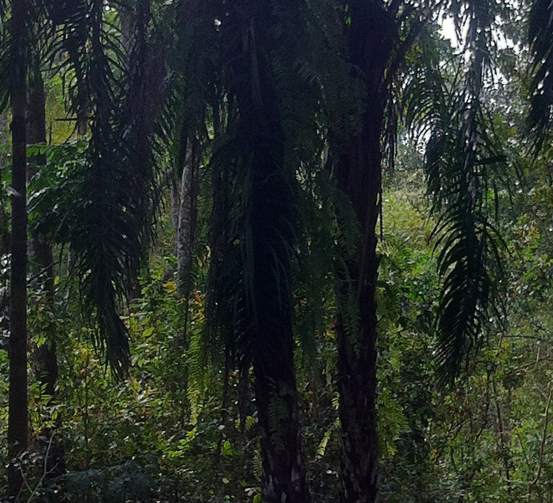
Plantation targets for 2023-24 and the Eighth Five-Year Plan
For the 2023-24 financial year, the minister told parliament, the government had set targets of 1,800 hectares of block plantation, 700 kilometres of strip plantation and 3,250 hectares of mangrove plantation.
Under the Eighth Five-Year Plan, which aimed to raise the country's tree cover to 24 per cent by 2025, he said the following would be done through various projects:
- restoration of about 7,220 hectares of plain land and sal forest
- restoration of 130,580 hectares of hill forest
- 500 hectares of agar forest
- 15,000 kilometres of strip plantation
- 50,000 hectares of mangrove plantation
- 2,700 hectares of enrichment and other plantations
The 2023-24 figures were smaller than the ones the same ministry had given for 2021-22. In the April 2022 reply reported by UNB, the minister said the target for that year was 29,124 hectares of mangrove and block plantation and 1,574 kilometres of strip plantation under the Forest Department.
What had been planted since 2009-10
Shahab Uddin told parliament that from the 2009-10 to the 2022-23 financial year, projects and the revenue budget together had created 127,548 hectares of block plantation, 89,853 hectares of mangrove plantation and 30,252 seedling-kilometres of strip plantation. In the same period 11.21 crore seedlings (one crore is ten million) had been distributed and planted through sale and distribution.
He also said that in 2020, to mark Mujib Year, the birth centenary of Bangabandhu Sheikh Mujibur Rahman, the environment ministry had distributed one crore tree seedlings free to the public across the country. Prothom Alo reported at the time that the nationwide distribution and planting of the seedlings was opened on 16 July 2020, together with the National Tree Plantation Campaign 2020. Under the plan, three seedlings (one fruit tree, one timber tree and one medicinal plant) were to be planted in every district and upazila, and 20,325 seedlings in each of 492 upazilas during the season from 16 July to 15 September, following the coronavirus health guidelines.
Earlier figures from the ministry give a longer view. In April 2022 the minister said that from 1980-81 to 2020-21 social forestry had produced 102,229 hectares of woodlot and block plantation on Forest Department land and 76,752 kilometres of strip plantation on other land, including roads, highways, railways and embankments, UNB reported. At the closing of the national tree fair in Dhaka on 23 July 2023, Shahab Uddin said the government planted an average of about eight crore trees a year and urged every citizen to plant at least one tree a year, bdnews24.com reported; the Dhaka fair that year, held at Sher-e-Bangla Nagar from 5 June to 12 July, sold 2,902,614 seedlings worth Tk 14,81,69,000.
Block, strip, mangrove and sal: the kinds of planting
Most of the plantation types named in the reply have a long history in the country. Banglapedia, the national encyclopedia published by the Asiatic Society of Bangladesh, records that the Forest Department made its first attempt at planting teak in 1871, on about eight acres at Rampahar near Kaptai, with seed from Burma. Plantations in the hill forests of the Chittagong Hill Tracts, Chittagong, Cox's Bazar and Sylhet covered about 311,766 hectares up to 1992, according to the Forestry Master Plan cited by Banglapedia. Before 1980 most of these were teak, mixed with jarul and gamar.
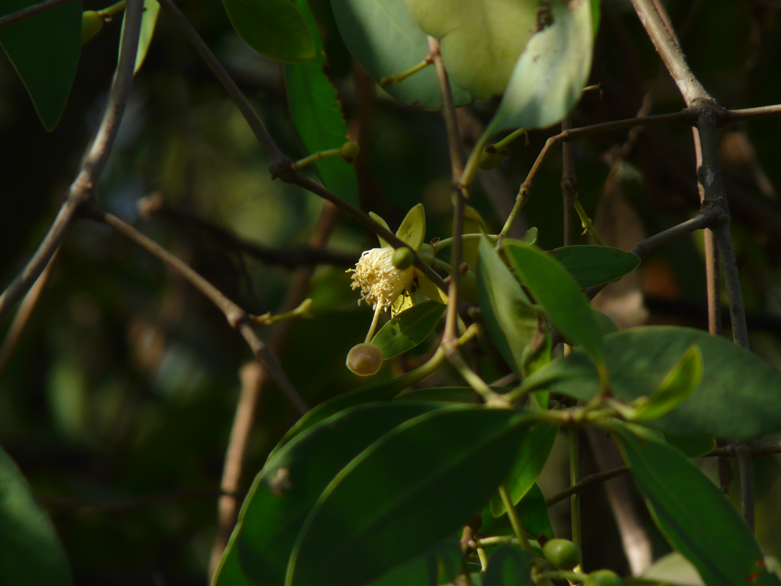
Coastal planting began after the severe cyclone and tidal surges of 1960, when the Forest Department started planting trees outside the protective embankments. Mangrove plantations were later taken up to stabilise newly accreted land in the Bay of Bengal and to speed up accretion. The main species are keora (Sonneratia apetala) and baen. Banglapedia puts the coastal plantations at about 0.15 million hectares, with more than 8,000 hectares planted each year, and describes their role as protection against cyclones, storm surges and tidal bores, while they also stabilise soil and make new land fit for farming.
Strip plantation means lines of trees planted along roads, railways and embankments, usually with local people as partners. Banglapedia traces social forestry in the country to 1962-63, when two forest extension divisions were created at Rajshahi and Dhaka and 1 June was introduced as a tree planting day. The first large community forestry project, financed by the Asian Development Bank from 1982 to 1987 in seven northern and western districts, planted about 4,800 kilometres of strips along roads, railways and canal embankments and for the first time included women in community forestry. The Coastal Green Belt project, begun in 1994-95, planted strips in 10 coastal districts to reduce loss of life and property from cyclones.
Sal forest, the plain land forest the plan sought to restore, grows in Gazipur, Tangail, Mymensingh, Jamalpur, Comilla, Dinajpur, Thakurgaon, Rangpur and Rajshahi. Its largest belt, the Madhupur Garh in greater Mymensingh and Tangail, runs about 96 kilometres from north to south and is 8 to 24 kilometres wide, according to Banglapedia, which lists over-exploitation, deforestation and encroachment among its threats. The national forest inventory mapped only 18,918 hectares of land as plain land (sal) forest in 2015. Agar, another of the targets, is the tree Aquilaria malaccensis; Banglapedia records about 800 hectares of agar plantation in the country's forests.
A ban on felling in natural forests until 2030
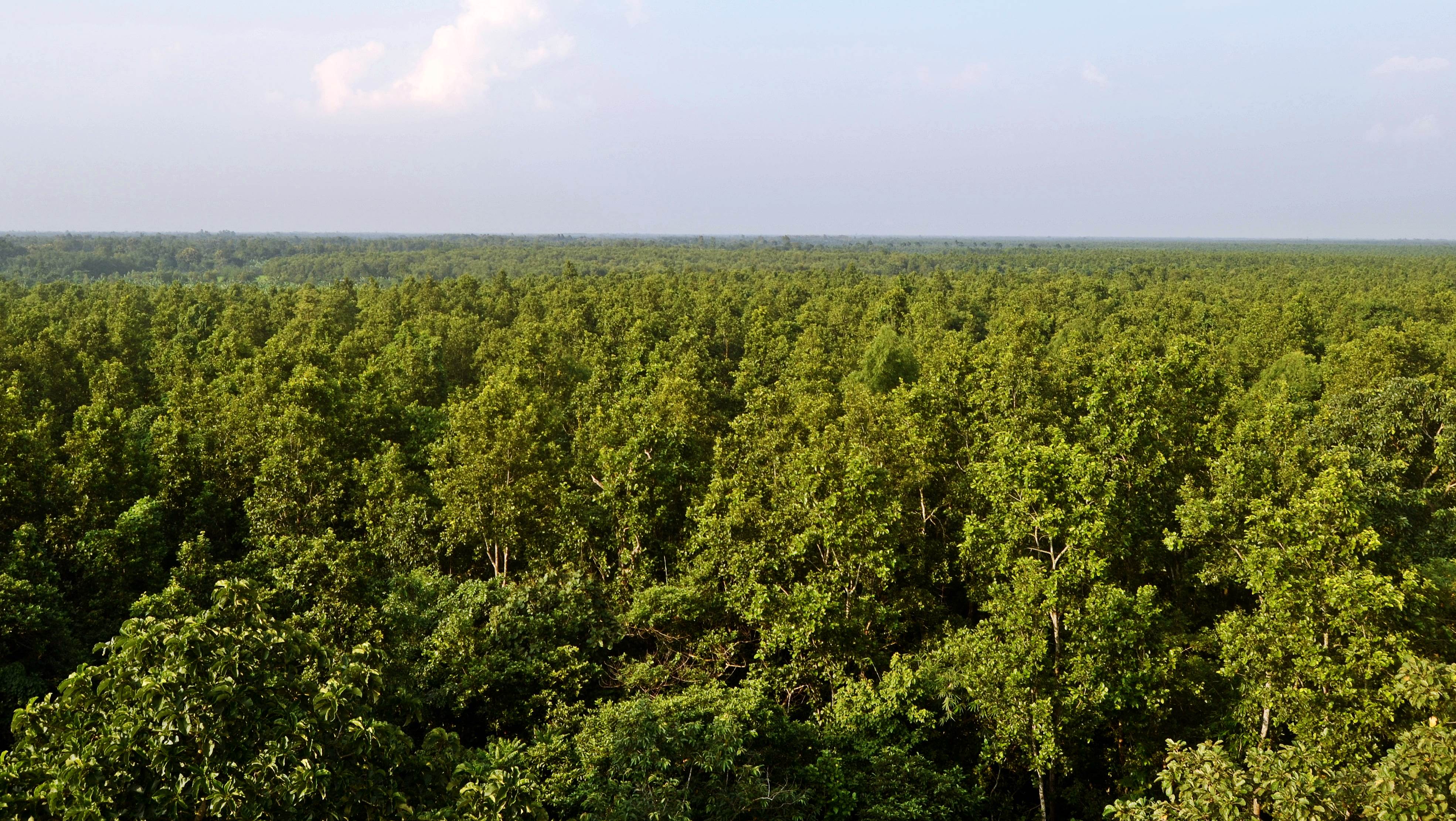
The plantation targets sat alongside a ban on cutting trees in the country's natural forests. bdnews24.com reported on 20 March 2023 that the environment ministry had published a gazette notification banning tree felling in protected and natural forest areas from 1 January 2023 to 31 December 2030 to protect biodiversity. Community social forestry in buffer zones, carried out with poor local residents, was allowed to continue in order to protect the core zones. The cabinet had approved keeping the restriction until 2030 in October 2022.
At the closing of the national tree fair on 24 July 2022, Shahab Uddin had called on people not to fell forest trees until 2030 and said the country's international targets could not be met unless illegal felling stopped, BSS reported in the Dhaka Tribune. The same March 2023 bdnews24.com report noted that the 2019 national forest survey had put the carbon stock of the Sundarbans at 139 million tonnes, up from 107 million tonnes in the 2009 survey.
Heat, children and the National Adaptation Plan
The second question in the minister's reply concerned children and extreme heat. Shahab Uddin said the environment ministry had not taken any direct programme to protect children from extreme heat. He said the National Adaptation Plan (NAP) 2023-2050, prepared by the ministry on behalf of the government, included research, awareness and other activities to deal with heatwaves, heat stress and heatstroke.
The NAP had been drafted for the ministry by the Center for Environmental and Geographic Information Services (CEGIS), The Financial Express reported on 9 October 2022, when it was awaiting cabinet approval. The draft put the cost of adaptation at 230 billion US dollars over the 27 years from 2023 to 2050, identified 11 climate stress areas and 14 climate-related hazards, among them extreme heatwaves, and set six goals, including environment-friendly adaptation for forests and biodiversity. It was prepared through more than 35 consultative workshops and over 100 group discussions. In December 2022 the then prime minister told an international meeting in Dhaka that the country needed 230 billion US dollars from domestic and international sources to implement the plan, UNB reported; the measures she listed included a coastal green belt and planted mangrove forests.
The question came after an unusually hot spring. On 15 April 2023 Dhaka recorded 40.4 degrees Celsius, its hottest day in 58 years, and Chuadanga reached 42.2 degrees, the country's highest reading in nine years, Prothom Alo reported, citing the Meteorological Department. Meteorologists at the time warned that the extreme heat could last several more days.
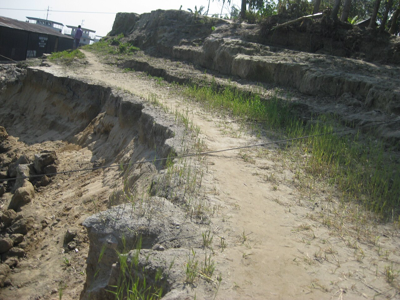
Photo: David M. / Wikimedia Commons (CC BY 3.0)
Sources: Jagonews24, Henry et al. in Forest Ecosystems (February 2021) on the Bangladesh Forest Inventory, UNB (4 April 2022 and 11 December 2022), BSS in the Dhaka Tribune (24 July 2022), bdnews24.com (20 March 2023 and 23 July 2023), The Financial Express (9 October 2022), Prothom Alo (16 July 2020 and 15 April 2023), Banglapedia
Comments
(0)