
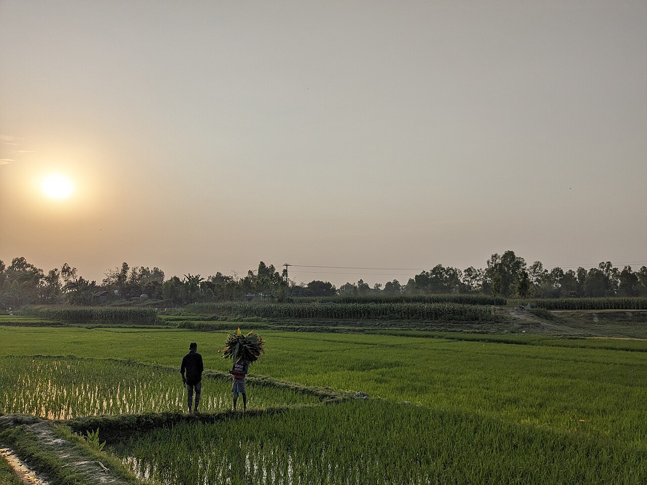
Bangladesh is a small country, but its farmland is anything but uniform. The dry Barind Tract in the northwest, the river plains of the north, the older floodplains in the centre, the haor wetlands in the northeast, the hills in the east and the salty coast in the south each have different soil, water, landforms, floods, drainage, temperature and rainfall.
To make sense of this variety, the Bangladesh Agricultural Research Council (BARC) divides the country into 30 Agro-Ecological Zones (AEZs). These 30 zones are split further into 88 sub-regions and 535 smaller units.
What is an agro-ecological zone?
Put simply, an AEZ is an area where the shape of the land, the soil, the water and the weather are broadly the same. Think of it as a farming "address": once you know it, you know which crops are likely to do well and which risks to watch for. BARC draws the zones using four things:
- The shape of the land: high or low, flat or hilly, a new river char or an old upland
- The type of soil
- How deep, and for how long, the land floods in the monsoon
- The weather: rainfall, temperature and how long the growing season lasts
The 30 agro-ecological zones of Bangladesh at a glance
Northern foothills and river floodplains (zones 1-9)
- 1. Old Himalayan Piedmont Plain: Northern land built from silt carried down from the Himalayas. How high the land is, what the soil is like and how fast rainwater drains decide what can be grown.
- 2. Active Tista Floodplain: The Tista still eats away land and builds new sandbanks (chars) here. Because the land keeps changing, farm plans must follow the floods and the river's course.
- 3. Tista Meander Floodplain: Shaped by the old and new bends of the Tista. High and low land sit side by side, so crops, irrigation and drainage differ from field to field.
- 4. Karatoya-Bangali Floodplain: Land formed by the silt and seasonal water of the Karatoya and Bangali rivers. Local soil and water knowledge matters for rice, pulses, oilseeds and winter (rabi) crops.
- 5. Lower Atrai Basin: Low land where water stands for weeks in the monsoon. How long it stays, and when fields dry out enough to plant, decides the crops.
- 6. Lower Purnabhaba Floodplain: Land along the lower Purnabhaba river. River silt, soil, irrigation and handling monsoon water are the keys to a good harvest.
- 7. Active Brahmaputra-Jamuna Floodplain: One of the country's most restless river areas. Banks collapse, chars rise and silt settles, so the land itself changes. Research has to track that as well as the soil.
- 8. Young Brahmaputra-Jamuna Floodplain: Built from fairly recent river silt. Floods and shifting water mean soil fertility, water-holding and the best crops vary from place to place.
- 9. Old Brahmaputra Floodplain: Formed along the Brahmaputra's old course, with older soils. Many years of soil and crop records help with rice, winter crops and mixed farming.
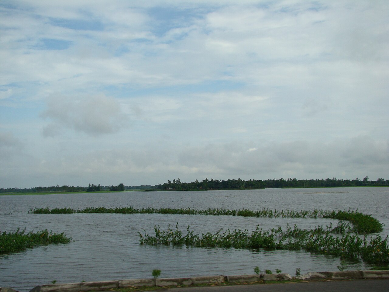
The Ganges basin and the southwest (zones 10-15)
- 10. Active Ganges Floodplain: The Ganges (Padma) reshapes the land with its current, silt and erosion. Fresh silt opens new farmland; erosion raises the risk of losing crops.
- 11. High Ganges River Floodplain: The big questions are soil, irrigation and whether water is available in the dry season. Research on irrigated farming and crop choice pays off here.
- 12. Low Ganges River Floodplain: In the southwest, river, water and soil together set the farming pattern. Local soil and water data can improve crop choice and water management.
- 13. Ganges Tidal Floodplain: Tides and salty water are the main problems. Salt in soil and water, waterlogging and a shortage of fresh water make farming hard. Salt-tolerant varieties and better water management are the key research areas.
- 14. Gopalganj-Khulna Bils: A landscape of bils (low wetlands). Fields are under water in the monsoon and farmed in the dry season, that swing decides what is grown.
- 15. Arial Bil: A well-known wetland. Water spreads out in the monsoon and the same land is farmed in the dry months, so farming and the wetland's nature must be looked after together.
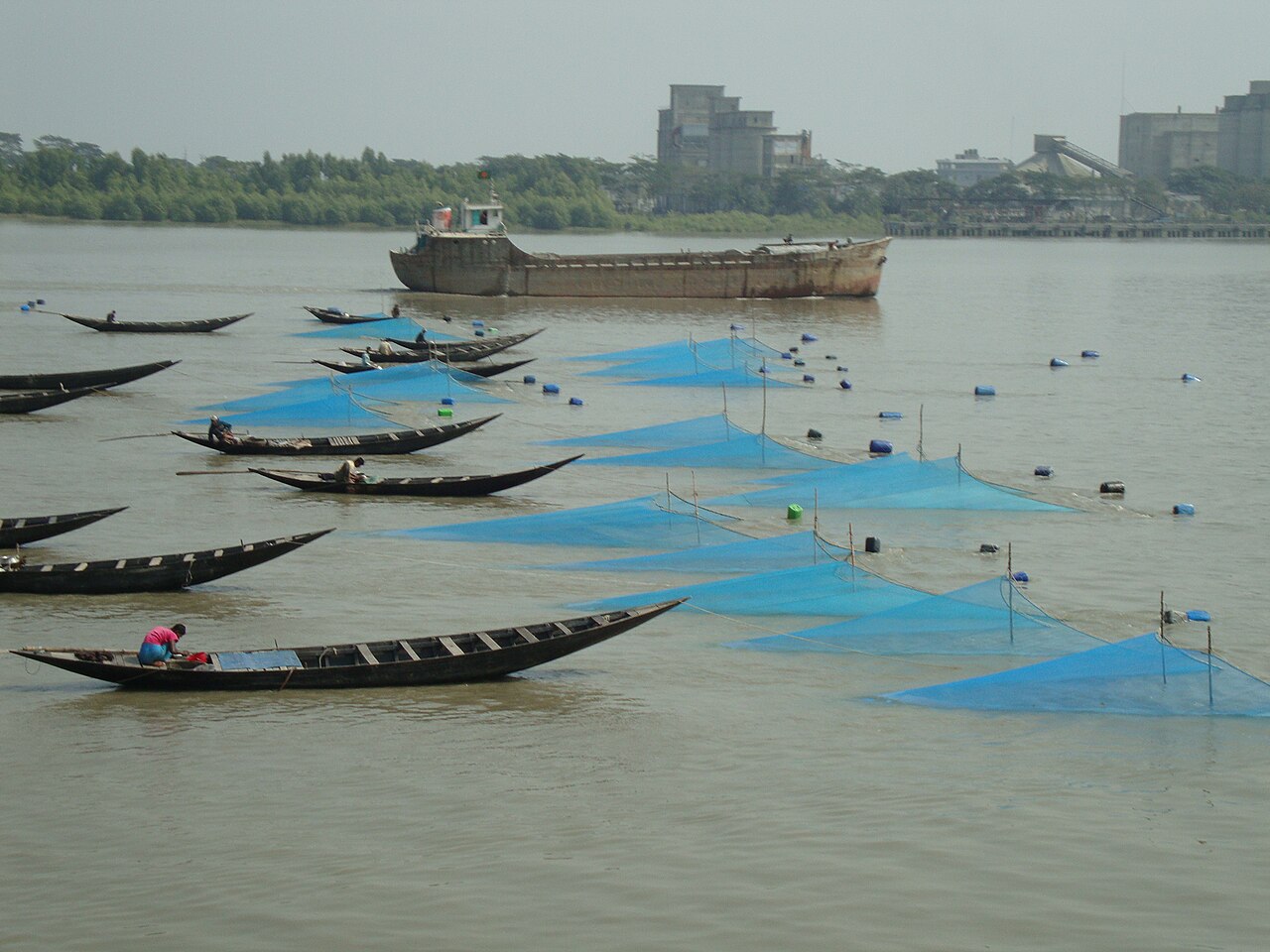
The Meghna, its estuary and the haor (zones 16-21)
- 16. Middle Meghna River Floodplain: Meghna water, silt and seasonal floods shape farming. River erosion and land change need to be watched year after year.
- 17. Lower Meghna River Floodplain: Floods, strong currents, silt and waterlogging can damage crops. Water management, the right crop choice and managing risk are the big tasks.
- 18. Young Meghna Estuarine Floodplain: New land is still forming at the Meghna's mouth. Soil, salt, floods, silt and land use have to be studied together to understand how farming here is changing.
- 19. Old Meghna Estuarine Floodplain: Older estuary land, but seasonal water and soil still decide which crops can be grown in a year.
- 20. Eastern Surma-Kushiyara Floodplain: The land of the Surma and Kushiyara rivers. Floods, low land and how long water stays decide the yield of rice and other crops.
- 21. Sylhet Basin: The heart of the haor country. Huge areas are under water in the monsoon and farmed in the dry season. For Boro rice, the risk of early flash floods and harvesting on time matter most.
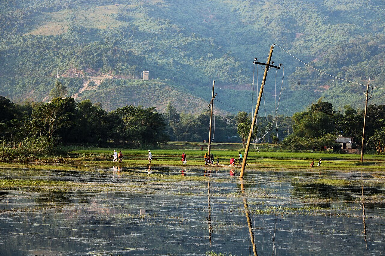
Foothills, the coast and a coral island (zones 22-24)
- 22. Northern and Eastern Piedmont Plain: Where the hills meet the plains. Knowing the slope, soil and how water runs off helps pick the right crops.
- 23. Chittagong Coastal Plain: Land near the sea, touched by salt and tides. Access to fresh water, managing salt and climate-resilient farming are what count here.
- 24. St. Martin's Coral Island: The country's only coral island, a zone of its own. Land is scarce, soil and water are unusual and nature is fragile, so farming and conservation must be planned together.
Old uplands and hills (zones 25-30)
- 25. Level Barind Tract: High, flat land in the northwest. Dry-season water, soil moisture and irrigation are the central questions for farming.
- 26. High Barind Tract: One of the driest, most drought-prone areas in the country. Irrigation that uses less water, drought-tolerant varieties and a wider mix of crops are the big research topics.
- 27. North-Eastern Barind Tract: This part of the Barind has its own soil and weather. Long-term research on water use, crop variety and yields is needed.
- 28. Madhupur Tract: An ancient upland of red soil, quite unlike the fresh river silt around it. Fruit, vegetables and high-value crops do well, with careful soil and water management.
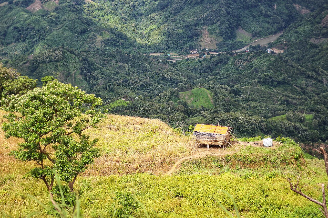
- 29. Northern and Eastern Hills: Slopes, height, soil erosion and runoff make hill farming hard. Erosion control, growing trees and crops together (agroforestry), saving water and fruit farming are the big opportunities.
- 30. Akhaura Terrace: Stepped, raised land in the east that stands apart from the floodplains around it. Farm planning here starts from the shape of the land, the soil and drainage.
BARC's published AEZ materials name these 30 zones as the country's main agro-ecological regions.
Why do the 30 zones matter?
The AEZ system is more than a map. It is a base for deciding where crops are grown, how land is used and where research should happen.
Why does the same crop yield well in one village and poorly in the next? A district name cannot answer that. You have to look at several things together:
- Soil type and depth, and how much water the soil holds
- Soil acidity (pH) and nutrients: nitrogen, phosphorus and potassium
- Whether there is salt in the soil or water
- How quickly rainwater drains, and how deep and long floods are
- Slope, temperature and the length of the growing season
Knowing the zone helps farmers, extension officers and researchers see which variety, fertiliser and irrigation suit an area, and where the risk of flood, drought or salt is highest.
From zone to village: a closer look
To make AEZs more useful for future research, each village's own data has to be added, not for a year or two, but over many years. For example:
- Which crop and variety was grown, the yield and total production
- Soil pH, organic matter, nitrogen, phosphorus, potassium and moisture
- Rainfall, temperature and irrigation
- How long floods lasted, and any signs of drought
- Satellite measures of how green the crop is and how much water is in the field (NDVI, EVI, NDWI and NDMI)
- Pests and diseases, and fertiliser use
- Production costs, farmers' own practices, market prices and harvest dates
Combine this with digital maps (GIS), satellite observation (remote sensing), machine learning (teaching computers to find patterns in past data) and statistics, and a lot becomes possible: forecasting yields village by village, finding which crop suits which field, mapping climate risk, and planning farming on evidence rather than guesswork.
A new path for research: from the zone to real results in the field
A simple framework for agricultural research in Bangladesh could be:
AEZ → Village → Field Data → Research → Field Testing → Farmer Adoption → Real Results
First, understand the farming environment of the area. Then collect data from villages. Use that data to set research questions, test solutions in the field, see whether farmers take them up, and finally measure whether yields, costs, income, risk and the environment actually changed.
One country, many farming realities
Farming in Bangladesh is not one thing. Within one country there are rivers and silt, haor and standing water, drought in the Barind, hills, and salt along the coast. Each environment brings its own opportunities and its own limits.
"One Country, Many Agro-Ecological Realities."
So instead of expecting one farming solution to work equally well everywhere, research needs to be location-specific, evidence-based and farmer-focused. The 30 AEZs are a strong foundation for that, and their value grows when they are linked with long-term village and field data.
AEZ → Village → Field Data → Scientific Research → Field Validation → Farmer Adoption → Measurable Impact
Success in agricultural research should not be counted only in published papers. It should be measured by the knowledge, solutions and real change it brings to farmers' fields and lives.
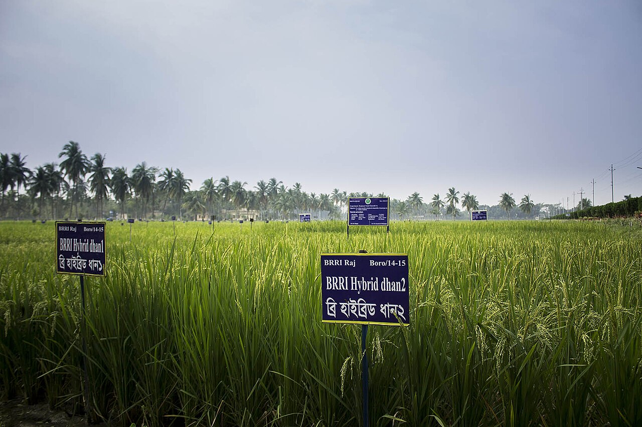
Cover photo: A rice field in Kurigram. Photo: Tanvir Rahat / Wikimedia Commons (CC BY-SA 4.0)
Source: Bangladesh Agricultural Research Council (BARC), Agro-Ecological Zone (AEZ) classification.
Comments
(0)