
 Bangladesh
AEZ-4 Karatoya-Bangali Floodplain: Where Rivers, Fertile Sediments and Farmers Shape Northern Bangladesh's Agriculture
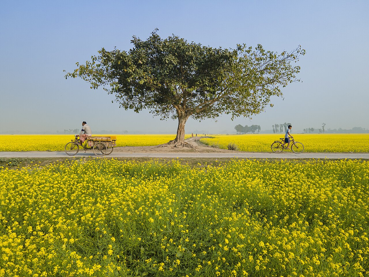
The Karatoya-Bangali Floodplain, Bangladesh's fourth agro-ecological zone, covers about 257,000 hectares of Sirajganj and eastern Bogura. Old river sediments left a mix of higher ridges and wetter basins, acidic soils short of several nutrients, and farms that grow rice, jute, potato, mustard and more. Recent trials on farmers' fields in Gabtali show what diversified cropping can earn, and satellite data and artificial intelligence could help match each field to the right crop, provided every prediction is tested in real fields.