
On a winter morning in northern Bangladesh, a farmer can look across the fields and see nothing out of the ordinary. Rice has been cut from one plot. Potato plants are coming up in the next. A neighbour has sown mustard, now a sheet of yellow, while someone else has ploughed for wheat or vegetables.
At first glance the fields look alike. Beneath the surface they can be very different. One sits a little higher and sheds water within hours of rain. Another stays wet for days. One has a lighter, loamy soil; another is heavy and sticky. Those differences decide which crop will do well, how much irrigation it will need and how much risk the farmer carries through the season.
This is everyday reality in AEZ-4, the Karatoya-Bangali Floodplain, one of Bangladesh's 30 agro-ecological zones. It covers much of Sirajganj and the eastern part of Bogura, and it was built, layer by layer, by rivers, floodwater and the sediment they left behind.
Where is AEZ-4 Bangladesh?
An agro-ecological zone is an area where landform, soil, water and climate are similar enough for farming to follow broadly the same rules. The Bangladesh Agricultural Research Council (BARC) uses the 30 zones to plan research and set fertiliser recommendations, because a district boundary says nothing about how deeply a field floods or how acidic its soil is.
According to BARC's Fertilizer Recommendation Guide 2024, the Karatoya-Bangali Floodplain covers 257,158 hectares, a little under 2,600 square kilometres. Sirajganj holds the largest share, about 149,400 hectares, followed by Bogura with 99,800 and a small corner of Pabna with 7,800. The zone sits between its neighbours to the north and west, the Tista Meander Floodplain (AEZ-3) and the Barind Tract, and the restless chars of the Brahmaputra-Jamuna to the east.
A landscape built by moving rivers
Rivers do not carry only water. They carry sand, silt and clay, and when floodwater slows down, that load settles on the land. Repeated over centuries, the process raises some areas, fills old channels and leaves hollows between them.
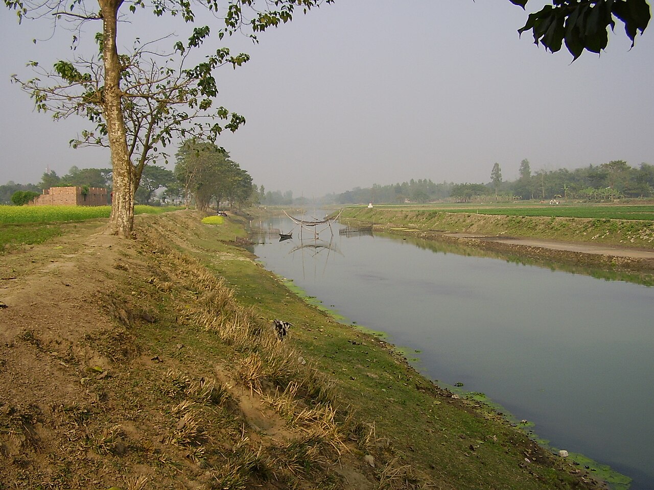
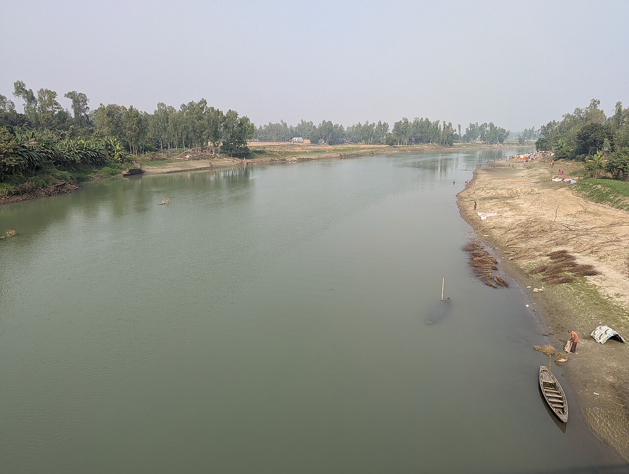
BARC describes this floodplain as apparently a mixture of sediments from the Tista and the Brahmaputra. The Karatoya carries part of that history: before the great flood of 1787, much of the Tista's water flowed south through the Karatoya, until the Tista swung east to join the Brahmaputra. The Bangali, which winds through eastern Bogura towards Sirajganj, gives the zone the second half of its name.
One region, many kinds of farmland
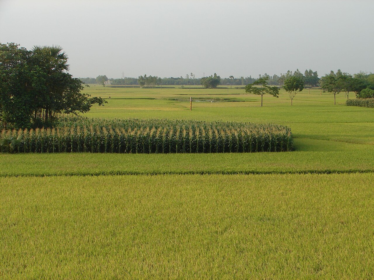
Most of the zone is made of smooth, broad floodplain ridges and almost level basins. A ridge here is a raised strip of land, often an old riverbank; a basin is the wide, lower ground between ridges where water gathers. Near the rivers the ground becomes more irregular, with old channels and patches of higher silt.
BARC classifies 23 per cent of the zone as highland, which normally stays above flood level, and 44 per cent as medium highland, which floods only shallowly in the monsoon, usually to less than about 90 centimetres. Medium lowland accounts for 14 per cent, lowland 4 per cent and very lowland 1 per cent, with homesteads and water bodies making up the remaining 14 per cent.
Put another way, two-thirds of the land is high or medium high, while about a fifth lies low enough to flood more deeply. That mix is the root of a pattern every farmer here knows: the same village can hold fields that behave in completely different ways.
What the soil tells farmers
On the ridges, BARC records grey silt loams and silty clay loams, soils that are fine-textured but still workable. In the basins they give way to grey or dark grey clays, heavy soils that hold water and dry slowly. The guide counts five general soil types, of which non-calcareous grey floodplain and non-calcareous dark grey floodplain soils predominate. Non-calcareous means the soils contain little or no lime, one reason they lean towards acidity.
These soils are often described as moderately acidic and of medium fertility. BARC's 2024 guide gives a sharper picture. It describes them as very strongly to slightly acidic, with a pH between 4.1 and 6.5 on highland, 4.4 and 6.5 on medium highland and 4.3 and 6.5 on medium lowland. Organic matter, the decomposed plant and animal material that keeps soil fertile, is low to medium. And deficiencies of nitrogen, phosphorus, potassium, sulphur, calcium, magnesium, zinc and boron are common across the region.
The nutrient table shows how uneven that picture is. Nitrogen and boron are very low to low on every land type. Phosphorus is low to medium on highland but drops to very low to low on medium highland and medium lowland. Zinc follows the opposite pattern: very low to low on the highest ground, low to medium further down.
An older look beneath the surface
Scientists have also studied what the soil is made of. In 2008, researchers from Bangladesh Agricultural University and Kyushu University in Japan published an analysis of 15 soils from AEZ-4 in the Journal of the Faculty of Agriculture, Kyushu University. They found the soils acidic to neutral, with low to moderate amounts of clay and mostly silt loam texture, and mica and chlorite as the main minerals in the finest clay fraction. It is older work, but it remains one of the few detailed mineral studies of the zone.
Water: a friend and a challenge
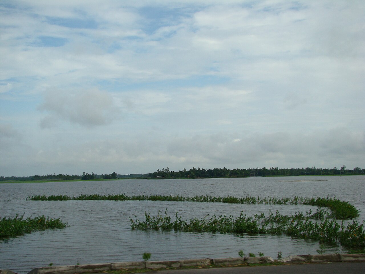
For farmers in AEZ-4, the agricultural calendar is set by water. The monsoon, roughly June to October, brings most of the year's rain and fills the basins; the winter that follows is cool and dry.
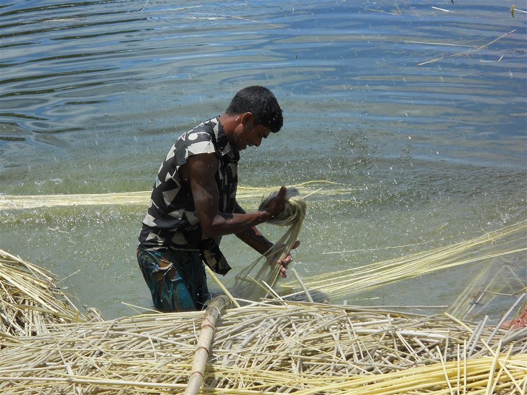
In the rainy season, water helps some crops and harms others. Transplanted Aman rice and jute need it. Jute, after harvest, must also be soaked in standing water so its fibre can be stripped, a step called retting, and in years when the monsoon is thin, farmers can struggle to find enough clean water for it.
Too much water at the wrong time is just as costly. A farmer preparing a field for potatoes or mustard needs to know not only whether rain will come, but how quickly the land will dry once it stops. On a high ridge that may be days; in a clay basin it can be weeks.
- When will the water arrive?
- How deep will it get?
- How long will it stay?
- When can the land be ploughed again?
Reliable answers to those four questions can make the difference between a timely winter crop and a lost season.
Rice leads, but farming is growing more diverse
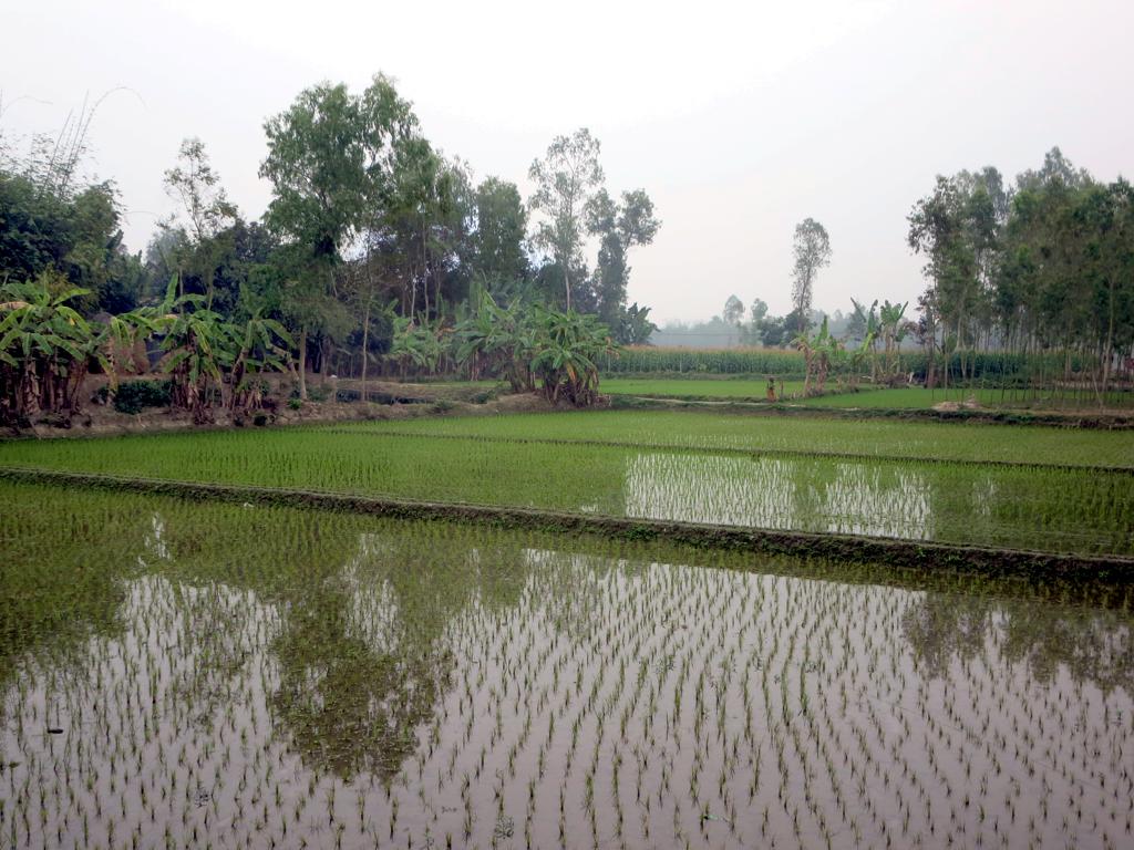
Rice remains the backbone of AEZ-4. Aus and Aman are grown in the warm, wet months, irrigated Boro in the dry season, and other crops take over in winter on land that drains in time. Farmers here also grow jute, potato, mustard, wheat, pulses, chilli, oilseeds, vegetables and sugarcane, each where the soil, water and market suit it.
A survey cited in recent research gives a sense of the balance. In the Bogura region, a rice, fallow, rice sequence covered 21.9 per cent of cultivated land, potato followed by two rice crops 13.3 per cent, and mustard, rice, fallow 7.6 per cent. In each of the most common patterns, part of the year is still spent with the land idle.
What farmers' fields in Gabtali showed
Could those fallow weeks be put to work? A study by Md Mamunur Rashid and colleagues, published in the Journal of the Saudi Society of Agricultural Sciences in June 2026, tested the idea on farmers' own fields in Gabtali upazila of Bogura during 2021 and 2022. The researchers compared the usual T. Aman, fallow, Boro rotation with three diversified patterns: mustard, mungbean, T. Aus, T. Aman; potato, maize, dhaincha (a green-manure crop), T. Aman; and potato, sweet gourd, jute, T. Aman.
All three diversified patterns beat the conventional one on gross return, benefit-cost ratio, land use and production efficiency. The potato, sweet gourd, jute, T. Aman sequence was the strongest, with a rice equivalent yield of 31.81 tonnes per hectare, a measure that converts every crop's value into rice so different patterns can be compared. Land use rose to as much as 94 per cent of the year, and potato produced the highest returns of the non-rice crops.
The authors are careful about what that means. The trials ran for a single cropping cycle on twelve farms in one zone, and they say results could shift with weather, pests and prices from year to year. Their findings point to promising options, not a rule for every farm in AEZ-4.
Why field-level information matters
Picture two farmers in the same village, each with an acre of land and the same rainfall. One field sits a little higher and drains fast; the other lies lower and holds water. Give both the same advice and one may profit while the other loses.
That is why researchers increasingly want information collected field by field, not averaged across an upazila. Useful records would include soil texture, pH, organic matter, nitrogen, phosphorus, potassium, sulphur, zinc and boron; land height, drainage, and the depth and duration of flooding; rainfall and temperature; and the farmer's own choices of variety, planting date, irrigation and fertiliser, with pests, costs, prices and final yield. Gathered over several years, such records show how a particular field actually behaves.
Satellites add another layer
Information that was hard to obtain a few decades ago is now routine. Satellite images show crop growth across wide areas, and vegetation indices such as NDVI, which measure how green and vigorous plants look from space, track a crop through the season. Digital elevation data can separate higher ground from lower ground, and weather archives supply years of rainfall and temperature.
But a satellite cannot answer every question. It may show a healthy green field without revealing how much the farmer spent on fertiliser, how much water was pumped, whether pests struck or whether the harvest made a profit. That information can only come from the field, which is why the strongest research combines satellite, soil, weather and farmer data.
Where artificial intelligence can help
Years of records from hundreds of fields quickly become too much to read by hand. Artificial intelligence can search such data for patterns people might miss: which crops perform consistently on a type of land, which fields face greater flood risk, when losses are more likely, which weather cuts yields, where irrigation demand is higher, which nutrients hold production back and which crop combinations make better use of the land.
In time, that could mean advice fitted to a single field instead of one recommendation for a whole region. But one rule should never be broken: a model's prediction must be tested in real fields before it reaches a farmer as advice.
From the computer to the farm and back
Suppose a model suggests that a particular field suits a short-duration mustard variety after Aman rice. Researchers should first try it with farmers, comparing planting dates, varieties, fertiliser and yields. Farmers explain what worked and what did not, and the recommendation is improved. Data, research, field testing, farmer feedback, improvement, then adoption: that cycle turns research into something farmers can use.
A village database, and the money side of farming
AEZ-4 is well placed for long-term village agricultural databases, a record for each village of its land, soil, weather, crops and practices, updated every year. With several years in hand, researchers could see which crops are becoming more profitable, which fields are getting harder to farm, whether floods are coming more often or lasting longer, and whether farmers are changing what they grow.
Yield alone is not enough. A farmer can harvest a big crop and still earn little if seed, fertiliser, irrigation, labour, machinery and transport cost too much. The more useful question, especially for small and medium farmers, is which system gives the best return at a risk the household can bear.
The farmer at the centre
Technology is powerful, but farming is about people. A farmer does not need a dashboard full of technical terms. What helps is a clear answer: your field is likely to stay wet for several days after heavy rain, so wait before planting; or, given your soil and last crop, this fertiliser dose suits better; or, this short-duration variety lets you plant the next crop earlier.
The aim is not more datasets, papers or models for their own sake. It is better decisions in the field.
A wider lesson from AEZ-4 Karatoya-Bangali Floodplain
The zone shows why Bangladesh needs a finer-grained approach to agricultural research. A district is not one soil type, an upazila is not one field condition, and even two neighbouring plots can behave differently. The pathway proposed here runs from AEZ to village, field, data, scientific research, field validation, farmer adoption and, finally, measurable impact.
The Karatoya-Bangali Floodplain is more than an area on a map. It is a living landscape of rivers, soil, water, crops and people, and its future depends on how well that landscape is understood and how effectively that understanding becomes decisions that raise farmers' productivity, income and resilience.
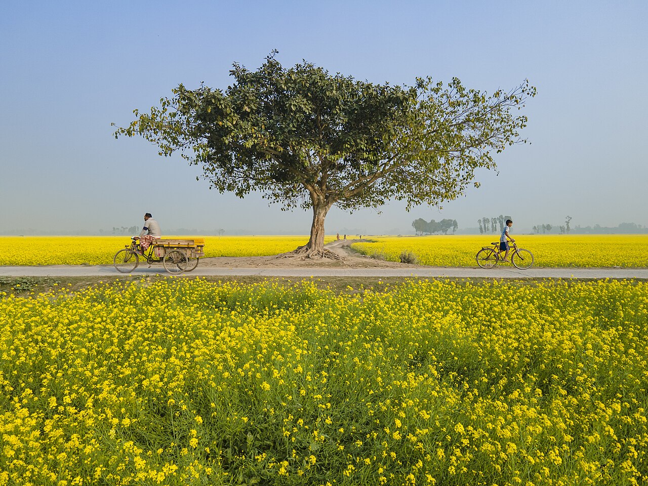
Cover photo: a mustard field at Ullapara, Sirajganj. Photo: Muhammad Amdad Hossain / Wikimedia Commons (CC BY-SA 4.0)

Comments
(0)