
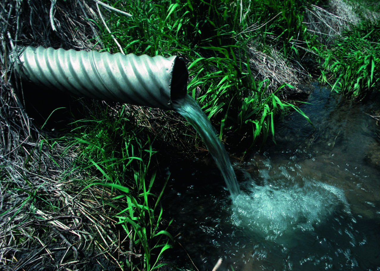
Researchers at the University of Illinois Urbana-Champaign have built a high-resolution three-dimensional model that follows water across the surface and through the soil of tile-drained farm fields after heavy rain. The study, led by Bin Peng and Haoyuan Yu with Oak Ridge National Laboratory, was published in the Journal of Hydrology.
"We can simulate where surface ponding occurs, how large the ponded areas are, how long the water remains on the surface, and how quickly the water table drops after a rainfall event," Peng said. Fields with similar drainage systems can behave very differently because of soil, landscape and layout, which is what the team set out to capture in two tile-drained fields.
Coarse models did surprisingly well on totals: simulations from two-metre to forty-metre resolution gave similar estimates of field drainage once calibrated. But the spatial picture differed. "The 2-metre model preserved local surface depressions, ponding patterns, and near-drain flow structures, while the 40-metre model smoothed out many of these features," Yu said, and those details matter when tracing nutrients.
Design choices showed up clearly. Deeper drains lowered water tables and removed more water over time; closer tile spacing produced sharper peaks in drainage after heavy rain. Small differences in surface topography changed where water gathered and soaked in, and soil properties set the balance between runoff, evaporation, plant water use and drainage.
Because nitrate moves readily with water, knowing the drainage pathways helps predict where nutrients travel and how they reach the drains. The team plans to add carbon and nitrogen cycling and to compare water and nitrogen use in bioenergy crops with corn-soybean rotations, working towards a digital representation of farm landscapes for conservation planning and precision agriculture.
Photo: Lynn Betts, USDA NRCS / Wikimedia Commons (public domain)
Source: Farms.com


Comments
(0)