
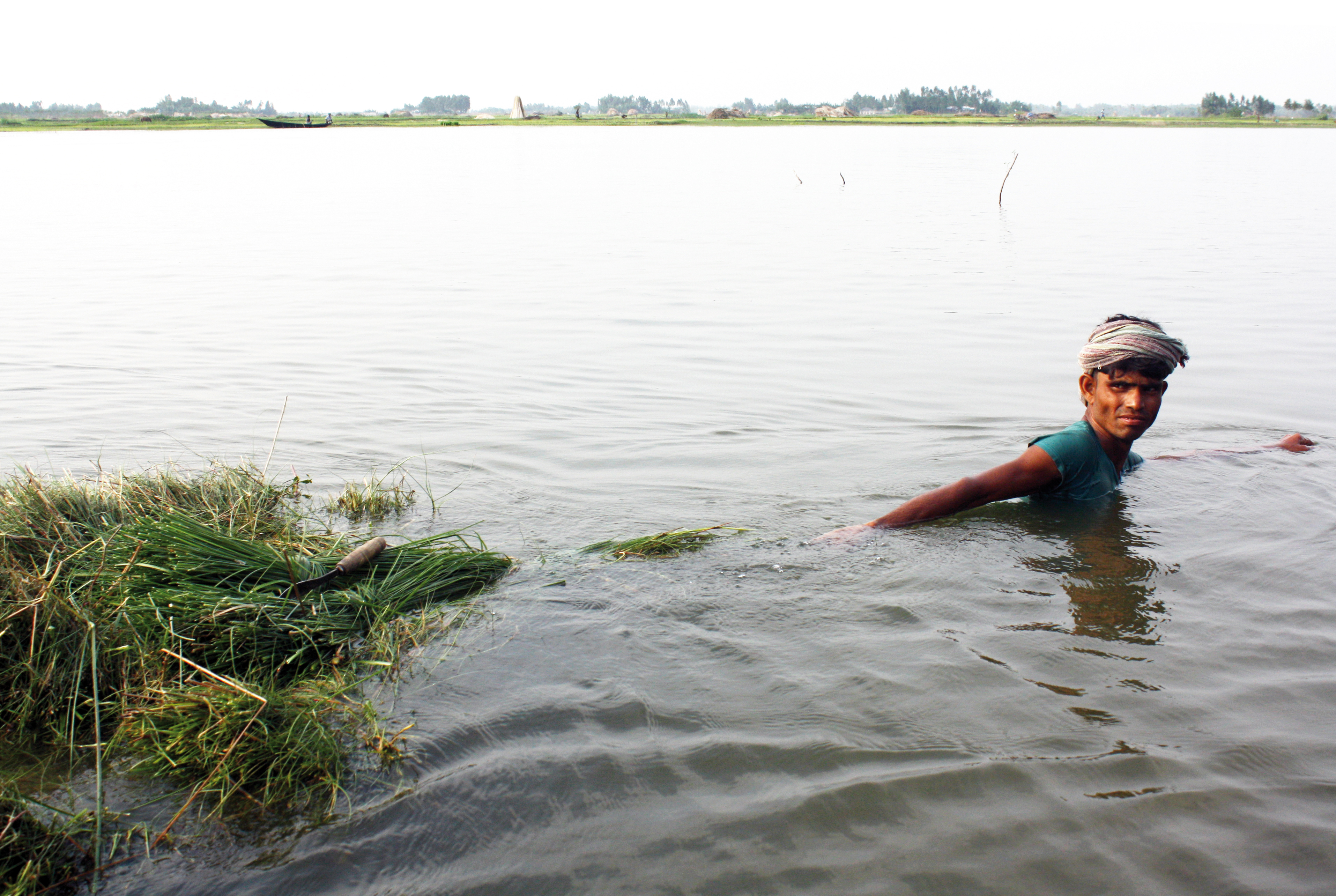
In the second week of July 2026, people in about 28 unions across four upazilas of Moulvibazar in north-eastern Bangladesh were in dire trouble over their livestock as monsoon flooding spread through the district. In Kamalganj, Kulaura, Rajnagar and Sadar upazilas, floodwater had submerged homesteads and grazing land, and a severe shortage of cattle fodder set in. Many animals fell ill for want of feed, and owners could not sell their cattle even at low prices. The report, carried by Jagonews24 on 13 July 2026, described a crisis that fell hardest on the households that depend on a few head of cattle for their living.
Animals standing in water, refusing to eat
Reporters who visited several unions of Rajnagar, Kamalganj and Kulaura found that the flood had begun to ease as river levels fell, but that livestock owners were suffering the most. Large areas had stayed under water for days, and the grass and stored fodder had rotted. With no field left to graze on, many farmers had tethered their animals on patches of high ground or along the roadside. Some were trying to keep them alive on rice bran and dry straw.
Owners said their cattle had been standing in the same spot for the past four days. Many had fallen sick, and feed had all but run out. Because everything had been under floodwater, they said, a stench hung over the area, and the animals refused to eat even after the water receded; nothing but straw could be offered, and the grass and fodder had rotted away even as the water went down.
Zarif Mia and Belal Mia of Tengra union in Rajnagar upazila said the whole area had gone under water. "The cattle have had nothing to eat for four days. We cannot find any feed for them. We have eight cows, and two of them have fallen ill," they said.
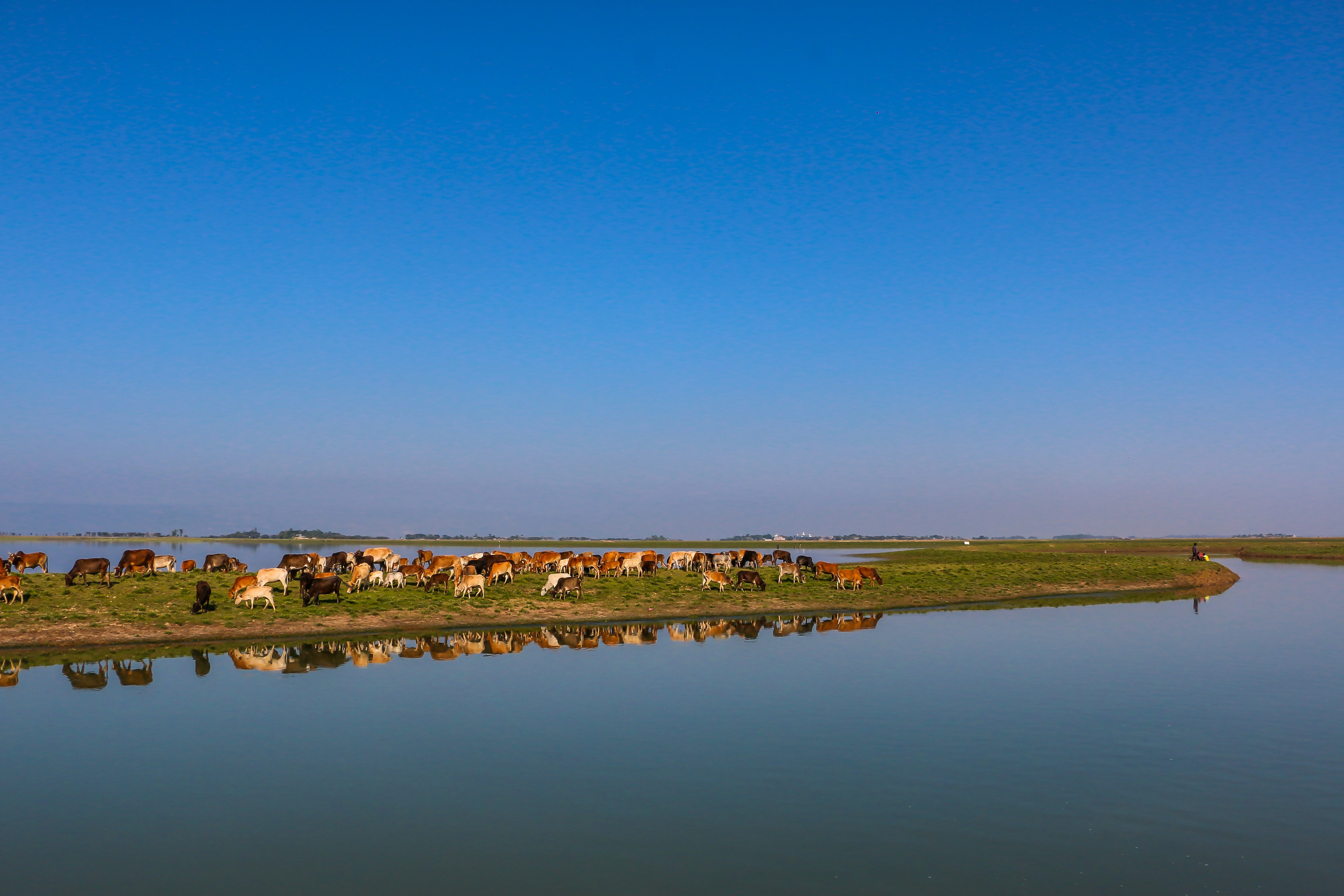
The district livestock office was still counting the losses
The Moulvibazar district livestock office said it would take a day or two to arrive at accurate figures for how much damage the flood had done to animals. Dr Md Ashraful Alam Khan, the district livestock officer, said that in the flood the households that keep livestock had naturally been hit somewhat harder than others, and that the extent of the damage across the district was still being assessed. No casualty or loss figure for cattle had been released at the time of the report; officials said a proper count could be made only once the water drained and field staff could reach the affected unions.
How the July 2026 flood reached the villages
By the second week of July, Moulvibazar was one of several districts of Sylhet division caught in monsoon flooding. The region's rivers rise quickly because they are transboundary: the Manu, Dhalai, Juri and Kushiyara all flow in from the hills of Tripura and Assam in India, so heavy rain in the upstream catchment can push them over their banks within a day or two. Bangladesh's Flood Forecasting and Warning Centre sets a danger level for each river gauge; once the water crosses that mark, the low-lying land behind the embankments is at risk.
North-east Bangladesh lies in the path of some of the heaviest monsoon rain in the world. The hills of Meghalaya and Tripura just across the border, including the Cherrapunji area, receive very high rainfall, and the run-off drains straight down into the haors and rivers of Sylhet division. Because that catchment is steep and close by, the rivers can climb from normal to above the danger level within hours of a heavy spell upstream, producing the sudden flash floods for which the region is known. This is different from the slower river floods of the central Ganges and Brahmaputra plains, and it is one reason flood-hit families in Moulvibazar often have little warning in which to move their animals and feed to safety.
The Flood Forecasting and Warning Centre, part of the Bangladesh Water Development Board, monitors water levels at gauging stations on the major rivers and issues daily bulletins through the monsoon, while the Water Development Board builds and maintains the embankments meant to hold the rivers back. In the haor districts these two tasks, forecasting and embankment upkeep, are what stand between a rising river and the villages on its flood plain. Flooding is a recurring feature of the Sylhet calendar rather than a rare event: pre-monsoon flash floods in April and May can damage the ripening boro paddy in the haors, while the main river floods come with the heavy rains of June and July. The July 2026 flood fell in this second, peak phase of the season, when the rivers are already high and a fresh spell of rain upstream can tip them over quickly.
News reports traced the sequence of the July 2026 flood: after days of continuous rain in the first week of the month, the district's rivers began to rise, and by 8 July there were fears of flooding. Around 9 July the Manu and Dhalai rose above their danger levels and embankments gave way in Rajnagar and Kamalganj upazilas. Over 9 and 10 July the breaches widened; different newspapers put the number of flooded villages at anywhere from five to more than thirty, and the number of people stranded across the affected upazilas at roughly fifteen thousand to thirty-eight thousand in reports published between 10 and 11 July. These were preliminary figures that varied from outlet to outlet as the water moved. Alongside the fodder crisis, the early reports described shortages of safe drinking water, food and medicine in the marooned villages, and the local administration opened shelters for displaced families.
The Manu and Dhalai, rivers that both sustain and flood Moulvibazar
According to Banglapedia, the Manu rises under the Kahoisib peak of the Sakkanklang range in Hill Tripura, India. In its upper course it passes through narrow gorges with steep rock walls and deep, clear pools; on reaching the plain it becomes a broad, slow, meandering stream. Flowing north to the Sylhet plains, it enters Bangladesh through Kulaura upazila in Moulvibazar, then turns north-west and north to join the Kushiyara at Manumukh. The Dhalai river joins the Manu in Rajnagar upazila.
By news accounts the Manu is about 167 to 186 kilometres long, of which roughly 74 kilometres lie in Bangladesh, with protective embankments running along both banks. In the dry season those embankments keep the river in its channel, but in heavy monsoon they are the weak points: when the water rises above the danger level, a breach floods the low-lying villages behind them. The Manu has flooded Moulvibazar before; in June 2018, news reports said more than 300,000 people were marooned in the district when the Manu and other rivers overflowed.
The embankments along the Manu and Dhalai are maintained by the Bangladesh Water Development Board, and breaches during high water have been a recurring problem in Moulvibazar. Local residents and earlier reports have long pointed to weak and silted stretches that give way when the rivers swell, and the July 2026 breaches at Rajnagar and Kamalganj followed the same pattern. Each breach sends water straight into the settled flood plain behind it, which is exactly where homesteads, grazing strips and straw stacks are, so an embankment failure and a livestock crisis tend to arrive together.
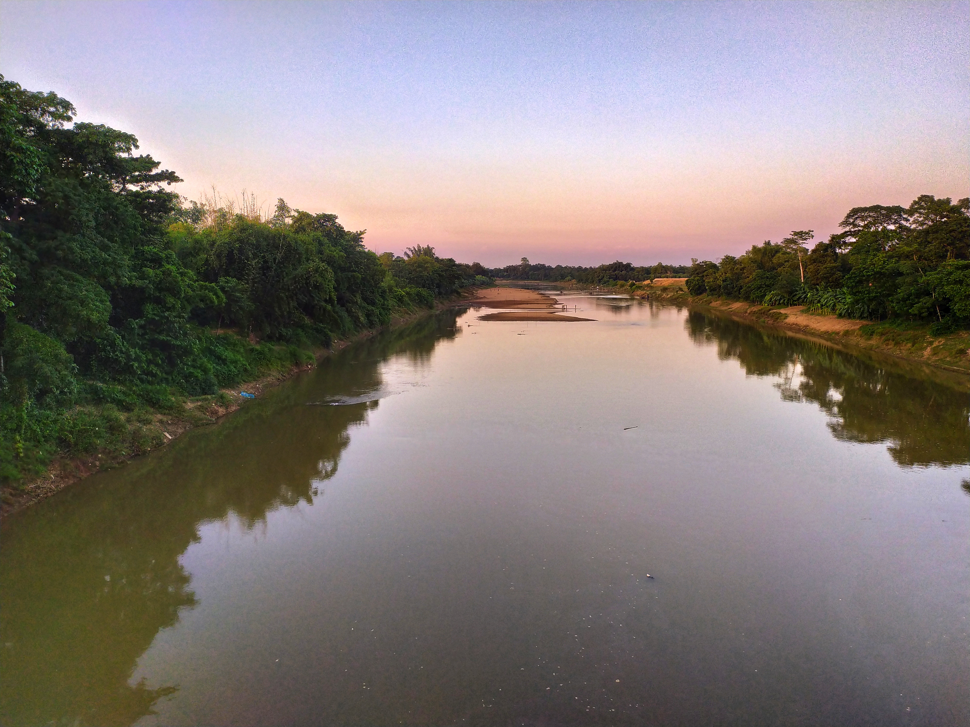
Rice straw, the main fodder, and why floods destroy it
The fodder crisis in the report follows directly from how cattle are fed in rural Bangladesh. Most smallholders do not grow a dedicated green-fodder crop; their animals live on open grazing and, above all, on rice straw, the dried stalks left after the paddy harvest. Straw from the boro crop, harvested in April and May, and from the aman crop later in the year is stacked and stored at the homestead to feed cattle through the lean months, including the monsoon when there is little grass to be had.
In the haor basin this reliance on straw is sharper still. The main crop there is boro paddy, grown in the dry season on land that is under water for the rest of the year and harvested in April and May, just before the monsoon flooding begins. The straw from that single crop is the mainstay of cattle feed for the months that follow. When an early or heavy flood arrives, as in July 2026, it threatens not only the standing fields but the straw that has already been cut and stored, leaving haor households doubly exposed.
Flooding undoes this at both ends: it submerges the fields and roadside strips where animals graze, and it soaks and rots the stored straw stacks. As the owners in Moulvibazar said, once the grass and fodder had rotted there was nothing left but straw to give, and even that was running out. The smell of rotting vegetation left by the retreating water also put the animals off their feed. Because green fodder is scarce across the country for much of the year, a single flood that destroys the straw reserve can leave cattle hungry for weeks, which is why livestock officials treat emergency feed as a priority in flood relief.
Moulvibazar, a haor and tea district
Moulvibazar is a district of Sylhet division. It covers about 2,799 square kilometres, and the 2022 census counted a population of more than 2.12 million. The district has seven upazilas: Moulvibazar Sadar, Kamalganj, Kulaura, Rajnagar, Sreemangal, Barlekha and Juri. Sreemangal is called the tea capital of Bangladesh; most of the country's tea gardens lie in this district. Its notable produce includes bamboo, tea, pineapple, cane, jackfruit, oranges, agar, rubber, mango and lemon.
The Manu, Dhalai and Juri are the district's main rivers, while Hakaluki Haor, Hail Haor and Madhobpur Lake are its notable wetlands. The four flooded upazilas, Kamalganj, Kulaura, Rajnagar and Sadar, sit along the Manu-Dhalai flood plain; much of the land there is low-lying haor basin that fills up in the monsoon. As a result, grazing grounds and homestead plots go under water quickly, leaving little time to move animals or protect stored feed.
Hakaluki Haor and the grazing land that goes under water
Hakaluki Haor is one of the largest freshwater marshes in Bangladesh, with a surface area of about 181 square kilometres. It stretches across Barlekha (which holds about 40 per cent of it), Kulaura and Juri upazilas of Moulvibazar and Golapganj and Fenchuganj upazilas of Sylhet. It is designated an Ecologically Critical Area; 558 species of animals and birds have been identified there, and about 190,000 people live around the haor.
The haor is made up of many interconnected beels, or perennial water bodies, and is an important inland fishery as well as a wintering ground for migratory waterfowl, which is part of why it was declared an Ecologically Critical Area. For the villages around it, the same water that supports fish and birds in the wet season takes away the land their cattle graze on in the dry months.
In the dry season the haor's beels shrink and the exposed land is used for grazing and for a boro paddy crop; in the monsoon the whole basin fills and that grazing land disappears under water. This seasonal rhythm is normal, but a sudden rise like the one in July 2026 leaves animals with nowhere to feed and no time to move fodder to high ground. That is why a flood in these upazilas turns into a livestock crisis so quickly.
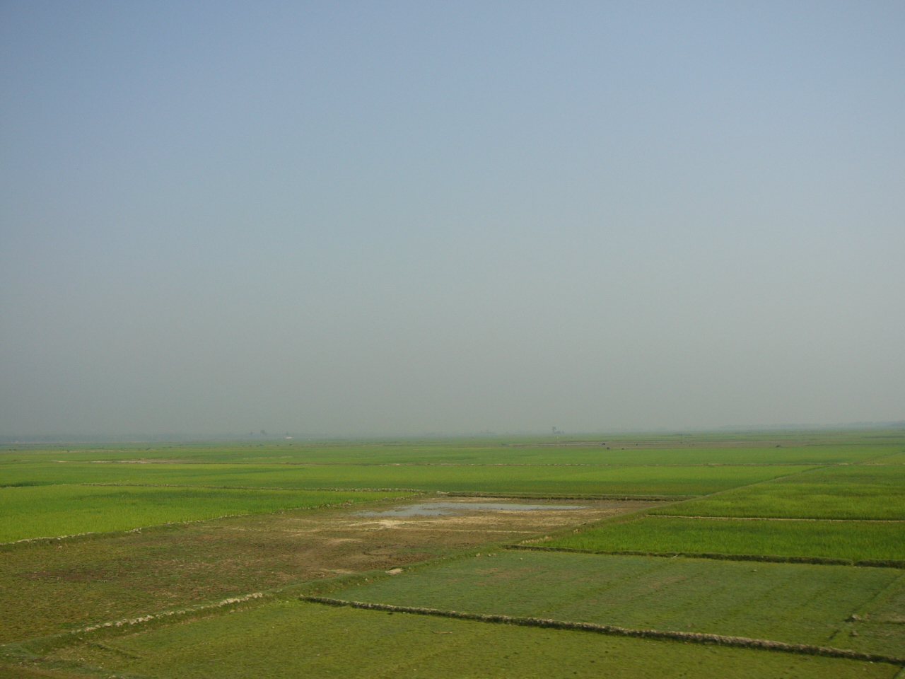
Cattle in the rural economy
According to the Department of Livestock Services' Livestock Economy at a Glance 2023-24, Bangladesh has about 25 million cattle, 1.5 million buffalo, about 27 million goats and nearly 4 million sheep. The livestock sector contributes close to 1.9 per cent of the country's GDP and about 16.5 per cent of agricultural GDP (financial year 2021-22). It is a major source of cash income and nutrition for many rural households.
Most of this livestock is kept not on commercial farms but by rural households in small numbers, often two to five animals tended alongside crop farming. In the haor districts, where cultivable land is limited to a single season, livestock rearing is an important second source of income, and women and older members of the family commonly share the work of tending the animals. That household scale is also why a flood's damage is spread thinly across a great many families at once, rather than concentrated in a few large farms, and why relief has to reach so many scattered homesteads.
For a smallholder in a haor village, a few head of cattle are at once a source of milk and draught power and a savings account that can be sold in an emergency. For many families livestock are the single largest asset that can be turned into cash when needed. So an animal that falls sick or dies in a flood is a direct financial blow, and being unable to sell cattle even cheaply during a feed crisis only deepens that pressure.
There is a knock-on effect as well. In areas where cattle are still used for ploughing and carting, animals weakened or lost in a flood leave farmers short of draught power for the next planting, on top of the lost milk, dung and sale value the household would otherwise have had. For families already coping with damaged homes and spoiled food stocks, the strain on their animals is one more setback in a hard season, and it is why livestock feature in flood relief alongside food and drinking water.
The risk to livestock in a flood, and what owners are advised
The Department of Livestock Services, which publishes these figures, is the government body responsible for animal health, vaccination, breed development and livestock extension across the country. It works through district livestock offices and through the upazila livestock offices and veterinary hospitals, which are the first point of contact for farmers and the channel through which emergency feed and veterinary help reach flood-hit areas.
Drawing on its work in flood emergencies, the UN Food and Agriculture Organization (FAO) has noted that the central problem after a flood becomes feeding the surviving animals, because floods destroy standing fodder and stored straw. Weakened survivors face a heightened risk of disease and parasites, and getting feed, clean water and veterinary care to them quickly is what keeps losses down. Animals left standing in water for long periods, or drinking contaminated water, are especially vulnerable.
Livestock specialists advise flood-hit owners to move animals to dry, high ground, give them clean water and whatever dry fodder can be found, and report sick animals to the upazila livestock office rather than administer medicines on their own. The upazila and district livestock offices are the point of contact for emergency feed, vaccines and veterinary help, and they support affected farmers in the period after a flood.
Photo: Department of Foreign Affairs and Trade (Australia) / Wikimedia Commons (CC BY 2.0)
Sources: Jagonews24; Ajker Patrika and Shomoyer Alo (13 July 2026); reports on the Manu embankment breach by Daily Star Bangla, Dhaka Post, Kalbela and RTV (9-11 July 2026); Banglapedia; English Wikipedia (Moulvibazar District; Hakaluki Haor); Department of Livestock Services, Livestock Economy at a Glance 2023-24; FAO.
Comments
(0)