
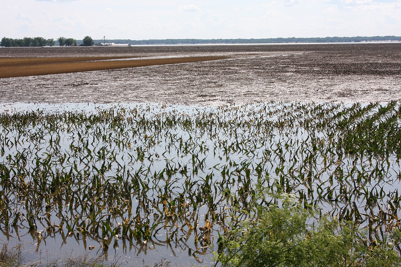
The week of heavy rain that hit central Illinois from 8 to 16 August, six to nine inches across much of the region and as much as 12 inches in places, was the product of two weather systems working together, according to Eric Snodgrass, senior science fellow at Nutrien. Such an event lands somewhere in the Corn Belt almost every year, he said; last year it was Iowa and southern Minnesota's turn.
The main band of rain stretched from Muscatine, Iowa, south to Carthage, Illinois, and east to Lafayette and Terre Haute in Indiana, with the heaviest totals around Galesburg, Peoria, Bloomington, Champaign and Urbana. Snodgrass listed 9.5 inches at Paxton, 10 inches at Danville, 9 to 10 inches at Bloomington-Normal and 9 inches at Canton. Much of it fell over the first weekend of the Illinois State Fair and rained out the annual Ag Day breakfast.
"That's a considerable amount of very high-productivity acres in Illinois that likely had too much rainfall," Snodgrass said. In the USDA Crop Progress report for the week ending 16 August, Illinois reported 81 per cent of topsoil moisture and 77 per cent of subsoil moisture as adequate or surplus.
The first ingredient was the Bermuda High, a large clockwise-circulating high-pressure system that sat off the Gulf in late July and early August and acted, in Snodgrass's words, like a conveyor belt sending moisture straight north. Moisture alone does not make rain, though; it needs a trigger.
That came from Texas. Extreme heat there pushed a frontal boundary north into Nebraska, Iowa, Illinois, Indiana and parts of Ohio and Kentucky, and with no system behind it to push it south again the front stayed put, acting as a ramp that lifted and cooled the Gulf air. "Each storm cell follows the one in front of it," Snodgrass said.
Well-drained fields can cope with that much water, he said, but low-lying ground that stayed saturated for days went into hypoxia, and plants without oxygen at the root die quickly. The summer as a whole was hot with uneven July rainfall across the Corn Belt before the August excess, while parts of Oklahoma, Texas and Louisiana have now gone more than 45 days without rain: "It's just the way the atmosphere can very, very sharply divide who is going to get moisture and who's not." Reported by Ava Splear for Farm Progress.
Photo: Robert Kaufmann, FEMA / Wikimedia Commons (Public domain)
Source: Farm Progress
Comments
(0)