
 Opinion
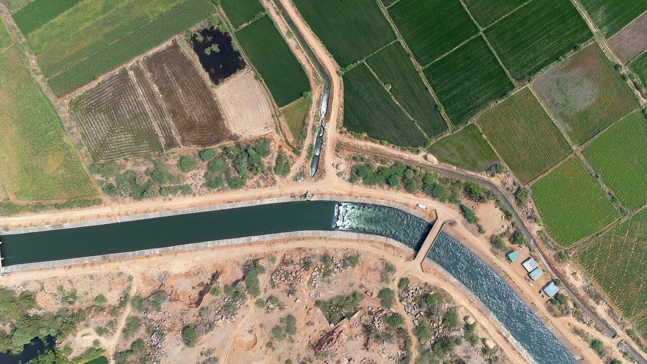
: Drones and GIS can find why canal water never reaches tail-end farms
Selvamani Sampath of WELL Labs argues that drone mapping, GIS and AI can spot silted or broken field channels in days, but only help if farmers' water user associations can read and use the maps.